The Longest Stretch Of Undeveloped Coastline In America
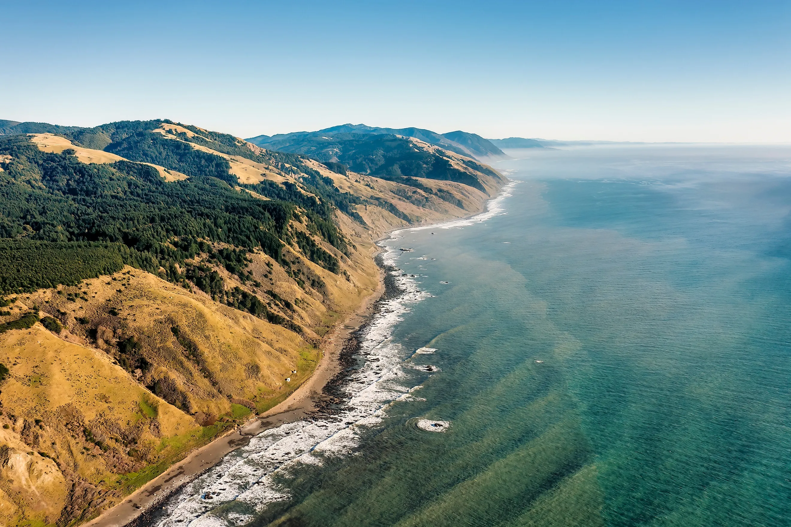
Anyone who has ever driven California Highway 1 north from San Francisco knows the spot in northern Mendocino County where the road turns away from the ocean and heads inland to meet US 101. It's here that drivers are made to detour around the Lost Coast, a stretch of undeveloped coastline that, according to the federal government, is the longest in the contiguous United States. And let's face it, they should know.
Undeveloped, in this case, means no towns, no resorts, no roads along the shore and definitely no vehicles on the beach. The only way to travel along it is on foot.
Measuring Undeveloped Coastlines

There's no official national ranking of undeveloped coastlines, so choosing a winner boils down to what the agencies managing the land have said on the record. The strongest statement comes from the U.S. Department of the Interior. In testimony on the bill that created the King Range Wilderness in 2006, the department described the King Range's 26 miles of undeveloped coastline as the longest in the continental United States.
The Bureau of Land Management (BLM), the Interior agency that runs the area, puts the full conservation area at 68,000 acres along 35 miles of coast. When the California Coastal Commission reviewed the BLM's management plan in 2005, it also described the King Range the same way.
For the purposes of this article, an undeveloped coastline is one with no buildings, no public road running along the shore, and no driving on the beach. Alaska is left out of the comparison, as its 33,904 miles of tidal shoreline are in a category all of their own, with its outer coast alone longer than the coastlines of the other 49 states combined.
That leaves us with a clear winner in the Lost Coast. California State Parks describes the wider Lost Coast, which adds Sinkyone Wilderness State Park to the King Range, as a 60-mile stretch of wilderness. The two are separated by Shelter Cove, a small community with an airstrip and a golf course, which is why the record rests on the King Range's unbroken shoreline. The same definition is also why Padre Island National Seashore in Texas doesn't make the cut.
The Early Years
The Sinkyone people lived on the southern part of this coast for thousands of years, in permanent villages beside streams and rivers. They fished, gathered seaweed and shellfish, hunted seals and sea lions, and relied heavily on the seasonal salmon run.
Oil brought the first wave of settlers, and in June 1865, the Union Mattole Oil Company started shipping crude from wells on the North Fork of the Mattole River to a refinery in San Francisco. A state historical marker in Petrolia, a village whose name gives away its origins, recognizes them as California's first drilled oil wells to produce crude that was refined and sold commercially. But the wells soon ran dry, and the boom proved short-lived.
The coast between Shelter Cove and Punta Gorda, a headland south of Cape Mendocino, took its toll on shipping, claiming so many wrecks that the federal Lighthouse Board asked for a light there in 1888. The Punta Gorda Lighthouse was lit for the first time in January 1912, and its keepers relied on horses to get in and out for most of its working life. A road from the Mattole River wasn't built until 1935. The Coast Guard shut the station in 1951, replacing it with a lighted buoy.
Say Hello to the King Range

When engineers laid out Highway 1, the King Range proved too rugged to cross, so the route was sent inland. King Peak rises to 4,088 feet just three miles from the Pacific Ocean. To make matters worse, the land is still shifting.
That movement is the result of the Mendocino Triple Junction, where the San Andreas Fault, the Cascadia Subduction Zone, and the Mendocino Fault meet just offshore. For example, the magnitude 7.1 earthquake of April 25, 1992, raised parts of the shoreline near Petrolia by as much as 4.6 feet in seconds.
Congress made the King Range the country's first National Conservation Area in October 1970, and in 2006, the Northern California Coastal Wild Heritage Wilderness Act designated 42,585 acres of it as wilderness.
Exploring The Lost Coast

The best way to see the Lost Coast is on foot. The Lost Coast Trail follows the shoreline for 24.6 miles from Mattole Beach in the north to Black Sands Beach at Shelter Cove, and to do the whole route takes at least three days to hike. Although the two trailheads are close as the crow flies, the drive between them takes two hours on narrow mountain roads, and most hikers book a shuttle with outfitters such as Lost Coast Adventure Tours.
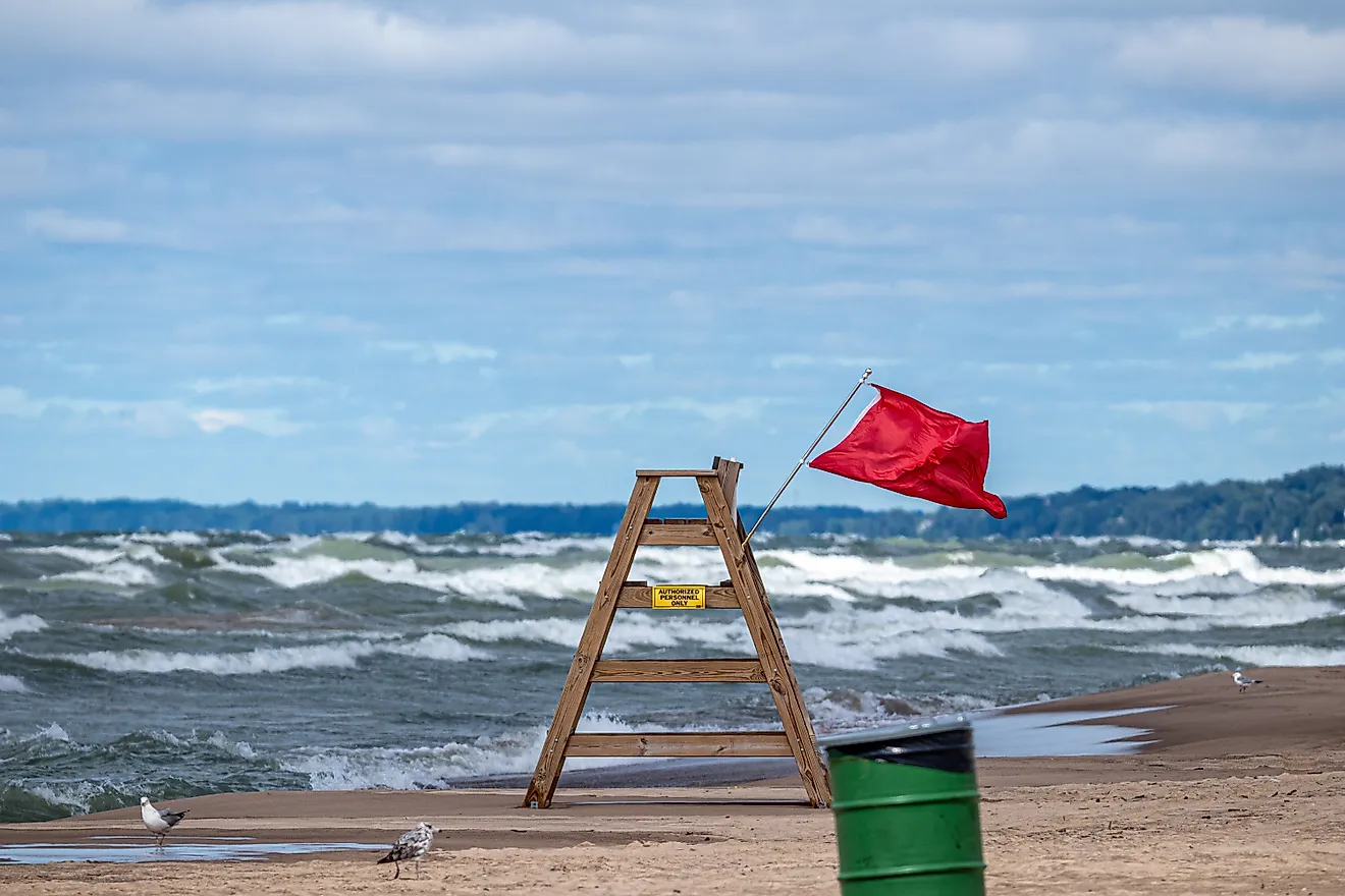
Tides also dictate when you can hike, with three sections of the trail impassable above certain tide levels. Winter storms can close parts of the route regardless of the tide. The National Weather Service office in Eureka regularly issues beach hazard statements for the Lost Coast about "sneaker waves," surges that run much farther up the beach than the waves before them, with some washing more than 150 feet up the sand.
Overnight trips require a wilderness permit year-round. They're sold on the Recreation.gov website on a rolling three-month window, with a maximum group size of 15. Day hikers don't need one, and the most popular day trek is the three-mile walk south from Mattole Beach to the Punta Gorda Lighthouse, which the BLM has restored.
Eyeing Up the Competition

Padre Island National Seashore in Texas is most often cited as the rival, with the National Park Service calling it the world's longest undeveloped stretch of barrier island. And sure on length alone it wins, with 65.5 miles of the 113-mile-long barrier island protected as a national seashore, and no buildings along the beach once you head down island.
But here's the rub: driving is allowed on the beach from mile marker 2.5 to 60. So, by the definition we've used, the beach in fact doubles as a road.
The Lost Coast's Name Says It All
Every road trip up the California coast eventually reaches the point where Highway 1 turns inland. Most drivers keep going without a second thought as to why the road leaves the coast here.
That detour is all down to the King Range, whose steep slopes leave behind the longest stretch of undeveloped coastline in the contiguous United States, a record the federal government has put in writing. For those who've wondered what the California coast looked like before the highway, this is the place to explore.