The Longest Coastlines In The United States
The US claims arctic fjords, coral-fringed islands, and quiet salt marshes. Barrier beaches, rocky headlands, and enormous bays fill out the rest of that seaward edge. The rankings below lean on NOAA's legacy shoreline-mileage dataset for consistency. That method counts the outer coast along with offshore islands and sounds. It also follows bays and tidal rivers and creeks to the head of tidewater. The tally stops where tidal waters narrow to 100 feet. Great Lakes shores count here, too, which lifts Michigan into the top ten. Alaska runs away with first place at roughly 34,000 miles of shoreline. Its outer coast alone stretches longer than the other 49 states combined. Measure a coast with a shorter ruler, and it gets longer. Geographers call this the coastline paradox, which is why every shoreline total depends on the definition, scale, and method.
Alaska - 33,904 Miles

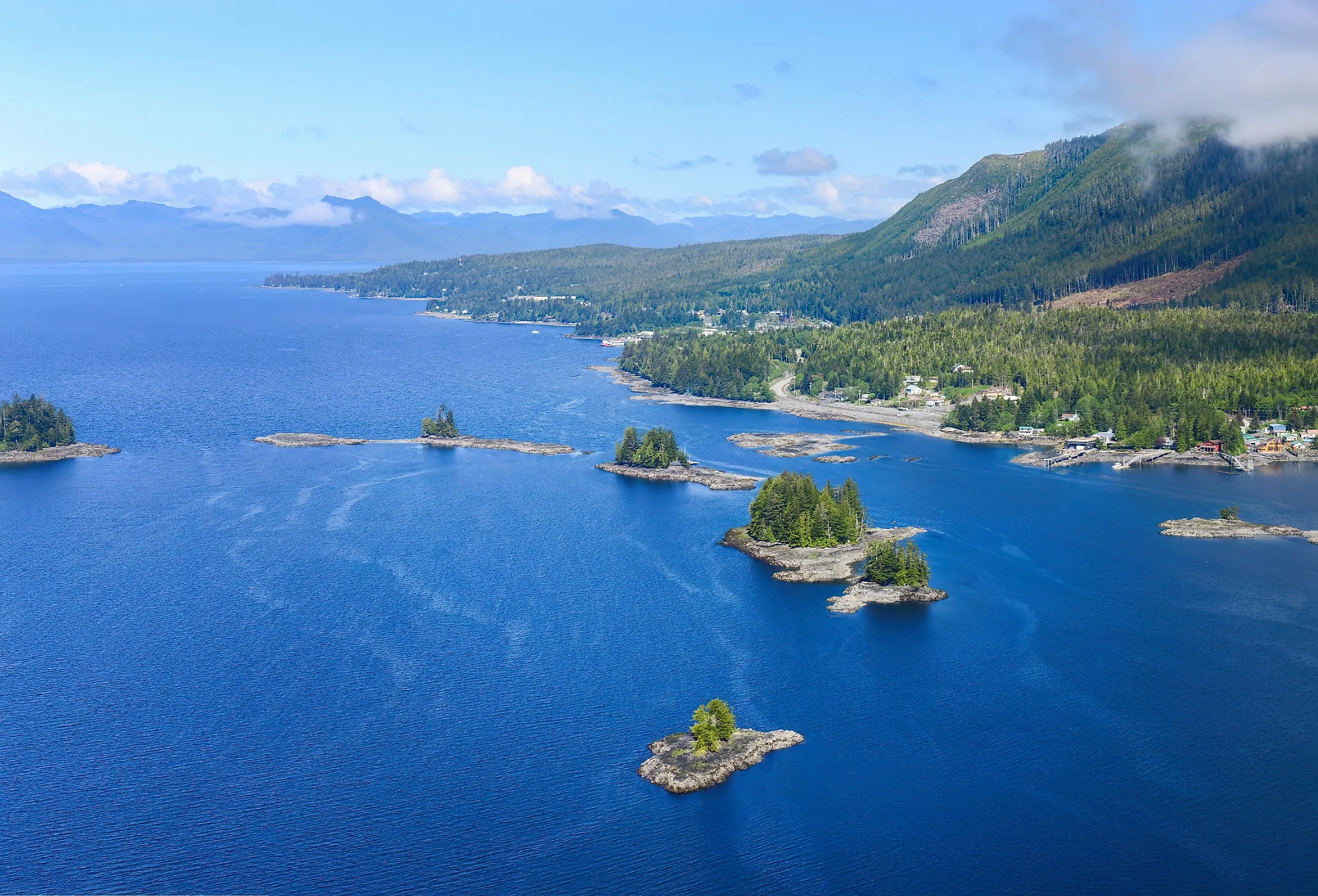
Nothing else in the United States comes close to Alaska's 33,904 miles of shoreline in NOAA's accounting. The state reaches the Pacific and Arctic oceans, while the Aleutian Islands sweep westward in a long volcanic arc toward Asia. In Southeast Alaska, steep mountains plunge into narrow channels around places such as Juneau and Ketchikan, and Glacier Bay National Park protects fjords where tidewater glaciers still meet the sea. Farther northwest, the Kenai Peninsula provides access to Resurrection Bay from Seward, where wildlife cruises regularly encounter sea otters, seals, and whales. Kodiak Island adds another dimension with broad bays, fishing harbors, and immense coastal wilderness. Much of Alaska's shore cannot be reached by road, so boats and small aircraft remain essential transportation in many communities. The detailed figure reflects the extraordinary complexity of a shore carved into islands, sounds, coves, and glacial inlets on a scale found nowhere else in the country.
Florida - 8,436 Miles

Florida's 8,436 miles of shoreline wrap around its Atlantic and Gulf coasts and trace the edges of its islands, bays, lagoons, and tidal waterways. The scenery changes quickly as travelers move around the state. Miami Beach brings broad sand and Art Deco architecture, while the Florida Keys extend toward the Caribbean in a chain linked by the Overseas Highway. On the Gulf Coast, Clearwater and Siesta Key are known for pale sand and calmer water, and farther north, the Panhandle turns toward long beaches around Destin and Gulf Islands National Seashore. Florida's coast is also a crucial wildlife habitat. Everglades National Park meets Florida Bay in a maze of mangrove islands, while nesting sea turtles use beaches along both sides of the peninsula. With warm water, coral reefs, fishing ports, barrier islands, and subtropical wetlands packed into one state, Florida earns its second-place ranking in especially colorful fashion.
Louisiana - 7,721 Miles

Louisiana ranks third with 7,721 miles of shoreline, reflecting the intricate geography of the Mississippi River Delta. Instead of a simple line of beaches and cliffs, the state meets the Gulf through wetlands, bayous, marshes, barrier islands, and branching waterways. Grand Isle provides one of the easiest places to experience the open Gulf, with fishing, birding, and a sandy shoreline at Grand Isle State Park. Elsewhere, coastal Louisiana is better explored by boat. The waters around Barataria Preserve and the lower Mississippi reveal cypress swamps and broad marshes that support alligators, pelicans, herons, shrimp, and commercially important fisheries. The region also carries a strong cultural identity shaped by Cajun communities, seafood harvesting, and working ports. Louisiana's coast is constantly changing as sediment movement, storms, subsidence, and sea-level rise reshape its wetlands. For travelers interested in living landscapes rather than conventional beach resorts, it offers one of America's most unusual coastal environments.
Maine - 3,478 Miles

Maine's 3,478-mile shoreline follows a deeply indented Atlantic edge where peninsulas, islands, coves, and bays repeatedly interrupt the coast. Acadia National Park provides the state's most famous coastal scenery, especially around Ocean Path, Thunder Hole, and the granite summit of Cadillac Mountain. Nearby Bar Harbor adds restaurants, boat trips, and a working harbor within minutes of the park. Farther down the coast, Portland Head Light stands above Casco Bay, while towns such as Camden look across crowded harbors toward forested hills. Maine's cold waters support the lobster fishery that defines countless wharves and seafood shacks along the coast. Summer brings sailing and island ferries; autumn adds brilliant foliage behind the harbors. Granite headlands and evergreen forests give the shoreline a character quite different from the sandy coasts farther south.
California - 3,427 Miles

California's 3,427 miles of shoreline include its Pacific mainland coast as well as the edges of bays, inlets, and offshore islands. Highway 1 follows spectacular sections of the Pacific edge, including Big Sur, where the Santa Lucia Mountains rise immediately behind rocky coves and surf. Monterey Bay draws visitors for whale watching and the Monterey Bay Aquarium, while nearby Carmel-by-the-Sea opens onto a bright crescent of sand. Farther north, Point Reyes National Seashore protects windswept headlands and long beaches within easy reach of San Francisco. Southern California changes the mood completely, with boardwalks and swimming beaches around Santa Monica, Malibu, Laguna Beach, and San Diego. Offshore, Channel Islands National Park preserves rugged islands with sea caves, kelp forests, and endemic wildlife. California's shoreline may be shorter than those of several more deeply indented states, but few stretches of American shore pack so many cliffs, beaches, marine sanctuaries, major cities, and famous road-trip stops into one state.
North Carolina - 3,375 Miles

North Carolina's 3,375 miles of shoreline encompass both sides of its barrier islands as well as the extensive edges of Albemarle and Pamlico sounds and other tidal waters. These narrow strips of sand separate the Atlantic from broad sounds and create one of the East Coast's most distinctive landscapes. Cape Hatteras National Seashore protects beaches, dunes, maritime forests, and the famous Cape Hatteras Lighthouse, while farther north, the Wright Brothers National Memorial marks the site of the first powered airplane flights near Kill Devil Hills. Wild horses roam parts of the northern Outer Banks around Corolla, adding another memorable sight to the coast. South of the barrier islands, Wilmington provides access to Wrightsville Beach and the Cape Fear River, and the quieter Crystal Coast includes Beaufort and Cape Lookout National Seashore. Shifting sandbars and powerful storms have always shaped this shoreline, giving North Carolina a coast where maritime history, lighthouses, shipwrecks, fishing villages, and open Atlantic scenery remain closely connected.
Texas - 3,359 Miles

Texas has 3,359 miles of shoreline under NOAA's detailed accounting, which includes its Gulf beaches, barrier islands, bays, and tidal inlets. Its most striking feature is the long system of barrier islands running parallel to the mainland. Padre Island National Seashore protects 66 miles of wild coastline, including what the National Park Service has described as the world's longest undeveloped stretch of barrier island. South Padre Island, farther down the coast, adds restaurants, watersports, and broad swimming beaches close to the mouth of the Rio Grande. Galveston combines the Gulf with nineteenth-century architecture, the historic Strand district, and a busy cruise port, while Corpus Christi serves as a base for boating and fishing around Corpus Christi Bay. Behind much of the exposed shore lie lagoons and estuaries rich in birdlife. The Texas coast feels spacious even near its cities, with enormous skies, warm Gulf water, and beach drives that can continue for miles without leaving the sand.
Virginia - 3,315 Miles

Virginia ranks eighth with 3,315 miles of shoreline shaped by the Atlantic Ocean, Chesapeake Bay, the Eastern Shore, and an extensive network of tidal rivers and inlets. Virginia Beach provides the state's best-known stretch of open-ocean sand, while the quieter Eastern Shore occupies the southern end of the Delmarva Peninsula between the Atlantic and Chesapeake Bay. Farther north, Assateague Island National Seashore and Chincoteague National Wildlife Refuge protect barrier-island beaches, marshes, and habitat used by migratory birds and the area's famous ponies. The Chesapeake gives the state a second coastal identity, with working harbors, seafood communities, and historic waterfronts spread along its western and eastern shores. Tidal portions of the Potomac, Rappahannock, York, and James rivers add hundreds of branching creeks and coves to NOAA's measurement. Port and naval activity around Hampton Roads and the fishing villages of the Northern Neck give Virginia's shoreline a mix of maritime history, military importance, wildlife habitat, and recreation.
Michigan - 3,224 Miles

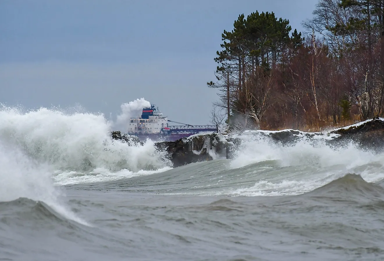
Michigan enters the ranking with 3,224 miles of Great Lakes shoreline, making it the only top-ten state without an ocean or Gulf coast. The state touches four of the five Great Lakes (Superior, Michigan, Huron, and Erie), and its two large peninsulas are surrounded by freshwater on most sides. Lake Superior provides the wildest scenery, including the multicolored cliffs, waterfalls, and beaches of Pictured Rocks National Lakeshore. Along Lake Michigan, Sleeping Bear Dunes National Lakeshore rises dramatically above broad beaches and blue water, while resort towns and historic lighthouses line both the Lower and Upper peninsulas. Mackinac Island sits where Lakes Michigan and Huron meet and preserves a car-free landscape of wooded roads, limestone formations, and nineteenth-century architecture. Although tides do not shape these shores, waves, storms, ice, dunes, and changing lake levels continually reshape them. Michigan demonstrates why an all-state shoreline ranking must state clearly whether the Great Lakes are included.
Maryland - 3,190 Miles

Maryland closes the top ten with 3,190 miles of shoreline, most of it created by Chesapeake Bay and its many tidal rivers, creeks, coves, and islands. The state's comparatively short open-Atlantic coast includes Ocean City and the beaches and wild horses of Assateague Island National Seashore. Farther inland, the Chesapeake divides Maryland into eastern and western shores and supports fishing, sailing, wildlife habitat, and the blue-crab industry central to the state's identity. Annapolis combines a historic harbor with the United States Naval Academy, while communities such as St. Michaels, Oxford, and Crisfield preserve distinct maritime traditions. The Susquehanna reaches the bay near Havre de Grace, and tidal rivers such as the Patuxent, Potomac, Choptank, and Nanticoke create long, branching shorelines. Maryland's high placement shows how a detailed shoreline measurement can elevate a relatively small state whose geography is dominated by one enormous estuary.
10 US States With The Longest Shorelines
| Rank | State | Shoreline (miles) |
|---|---|---|
| 1 | Alaska | 33,904 |
| 2 | Florida | 8,436 |
| 3 | Louisiana | 7,721 |
| 4 | Maine | 3,478 |
| 5 | California | 3,427 |
| 6 | North Carolina | 3,375 |
| 7 | Texas | 3,359 |
| 8 | Virginia | 3,315 |
| 9 | Michigan | 3,224 |
| 10 | Maryland | 3,190 |
(Figures use NOAA's legacy shoreline-mileage dataset, which includes outer coasts, offshore islands, sounds, bays, tidal rivers and creeks, and Great Lakes shores. Landlocked states are omitted.)
The Longest Shorelines in the US
This ranking reveals a different picture of the American shore than the historical general coastline figures do. Alaska remains dominant, but Louisiana rises to third because NOAA's detailed method follows its deltaic wetlands and waterways, while Maine's islands and bays place it fourth. Virginia and Maryland enter the top ten because of the Chesapeake Bay and their tidal rivers, and Michigan joins because this dataset includes the Great Lakes. California, North Carolina, and Texas remain in the ranking, while Hawaii, Oregon, and Massachusetts fall outside the top ten under this definition. The totals should not be treated as immutable physical facts: shoreline length changes with map scale, inclusion rules, erosion, sediment movement, and water levels. Using one clearly identified dataset nevertheless makes the comparison transparent and shows how dramatically bays, islands, estuaries, tidal rivers, and freshwater coasts expand the country's measured shoreline.