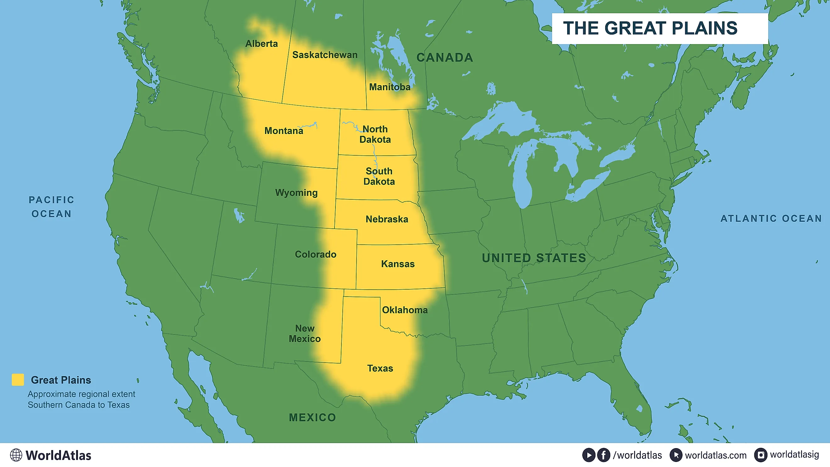
How Big The Great Plains Is Compared To All Of Western Europe
Take every country the United Nations counts as Western Europe, France and Germany included, and fit all of them inside the Great Plains. Then do it again. There would still be a patch of grass the size of Texas left over. The Plains cover roughly 1.125 million square miles across the United States and Canada, against about 428,000 for Western Europe's nine countries. One corner of Nebraska alone, the grass-covered Sandhills, is bigger than the Netherlands. The region also runs far past the wheat fields, north beyond the prairie to the Arctic Ocean.
Two Western Europes Fit Inside With Room To Spare
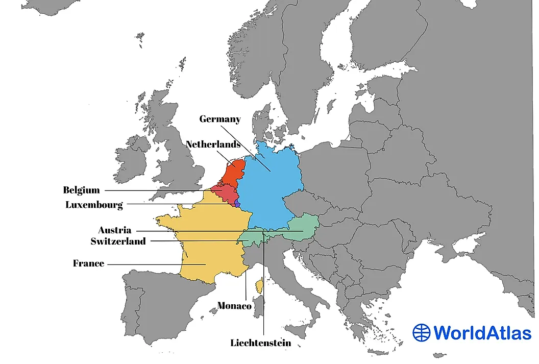
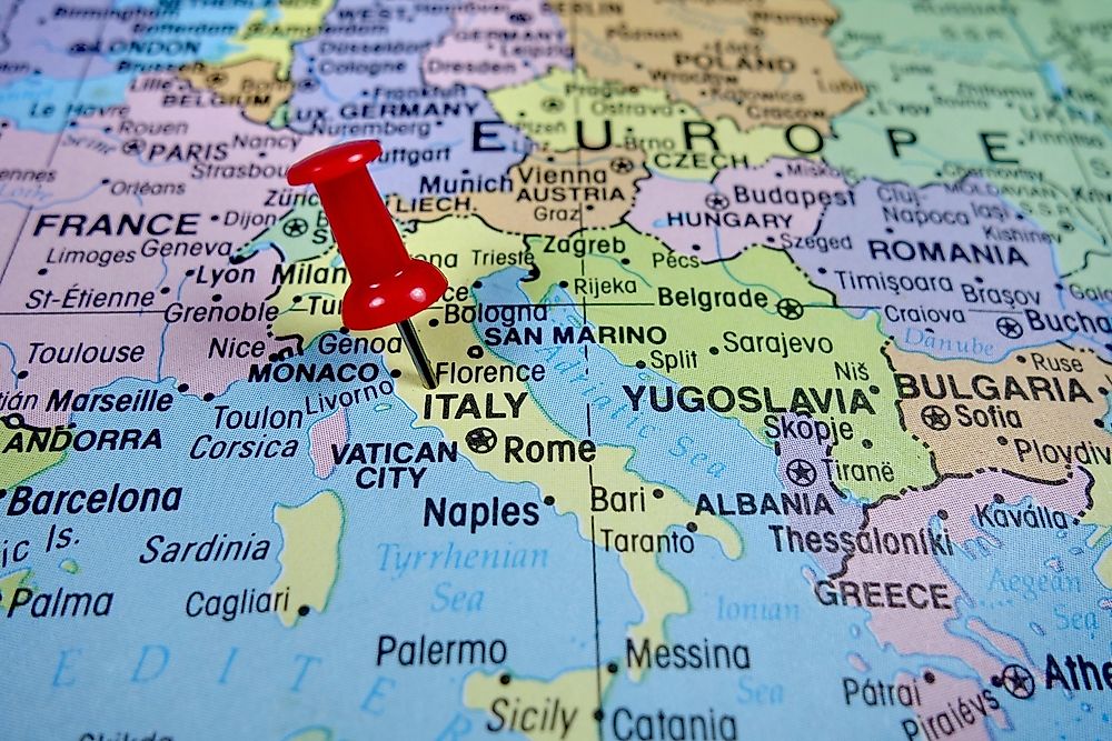
France and Germany account for most of Western Europe's area. The other seven countries are Austria, Belgium, the Netherlands, Switzerland, Luxembourg, Liechtenstein, and Monaco. France's overseas territories are excluded; the country totals include inland waters.
Double the European total and it reaches roughly 856,000 square miles. The Great Plains still have about 270,000 square miles left over, more than the approximately 213,000 square miles of European France.
The United Kingdom and Ireland fall under Northern Europe in the UN classification; Spain and Portugal are in Southern Europe. Even adding the United Kingdom to the nine-country total would leave the Great Plains more than twice as large.
The Region Extends Well Beyond Open Prairie
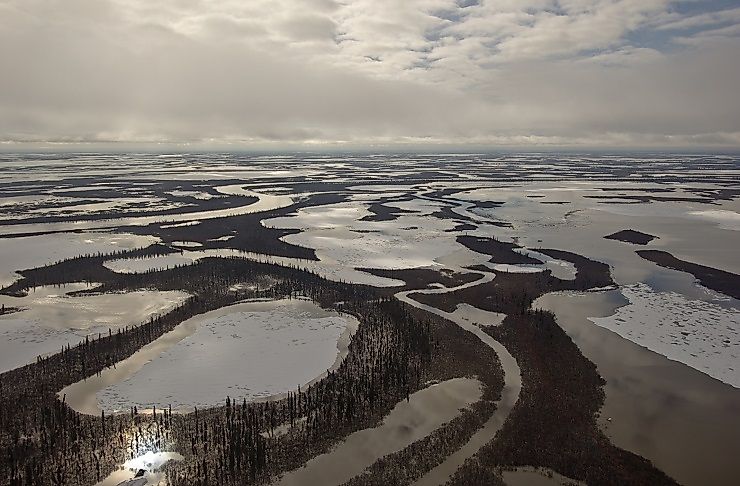
The Great Plains continue north beyond Canada's prairie provinces. The 1.125-million-square-mile estimate follows the broad geographic region to the Mackenzie River delta at the Arctic Ocean.
Prairie crosses the US border into southern Alberta and Saskatchewan, as well as parts of Manitoba. Along its northern margin, grassland changes to mixed woodland and then coniferous forest.
The American portion also changes across its width. Much of it stands between 2,000 and 6,000 feet above sea level, rising toward the Rocky Mountains. Rainfall generally decreases westward. Eastern Kansas gets more than 30 inches a year, compared with less than 15 inches near the eastern side of the Rockies.
Nebraska's Sandhills Outsize The Netherlands

Nebraska's Sandhills cover about 19,300 square miles, compared with roughly 16,000 for the Netherlands. About 95% of the region is rangeland, most of it in private hands, with beef cattle production its principal land use. Cattle graze the uplands, and ranchers cut hay in the wetter valley meadows.
Nearly 2,000 shallow lakes occur where groundwater reaches the surface between the hills, alongside more than a million acres of wetlands. Ducks and other waterbirds use those wetlands, and Blanding's turtles inhabit them. In parts of the western Sandhills, some wetlands are too salty for fish.
A Southern Plateau Is About The Size Of Austria
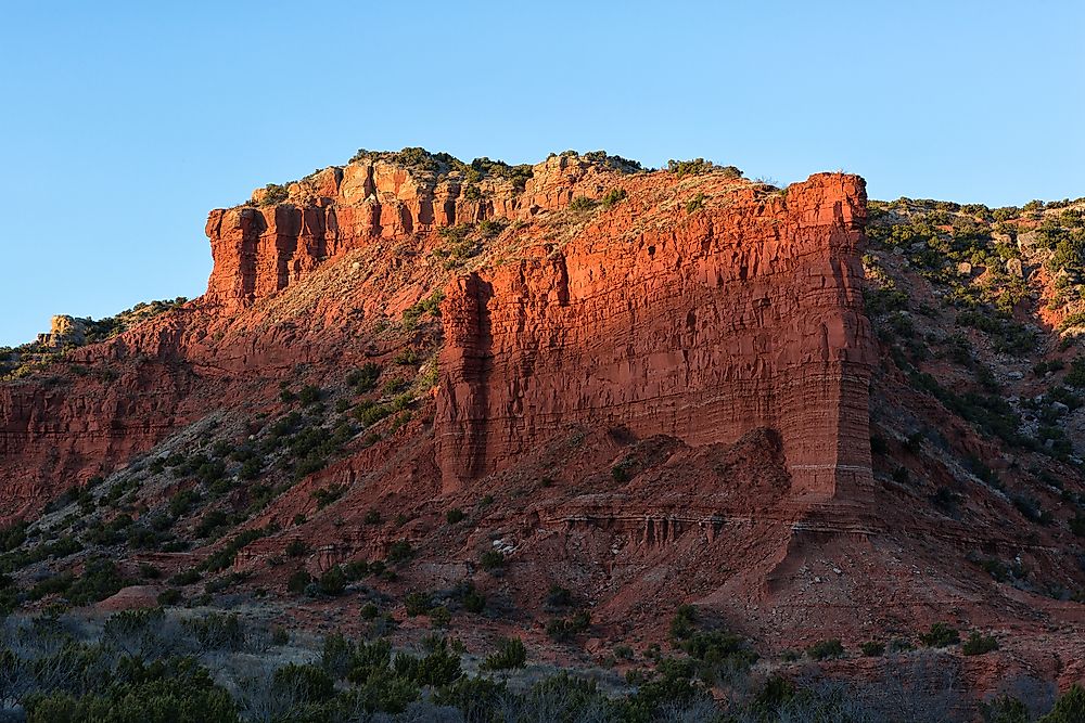
Farther south, the Llano Estacado covers roughly 32,000 square miles in western Texas and eastern New Mexico. Austria covers about 32,400 square miles. The plateau generally stands about 3,000 to 5,000 feet above sea level, with a comparatively level surface extending between steep margins.
Along its eastern edge, the Caprock Escarpment separates that high surface from lower plains. Caprock Canyons State Park sits along this escarpment, which rises as much as 1,000 feet above the plains to the east in places. Shortgrass prairie occupies the land above, while junipers and scrub oaks grow in the canyons.
On the plateau, farmers grow cotton and grain crops using irrigation water drawn from the High Plains aquifer system. The same aquifer system underlies farmland in parts of eight states.
Two Western Europes And A Texas
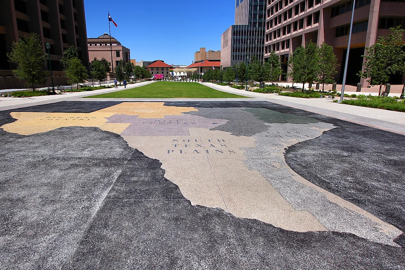
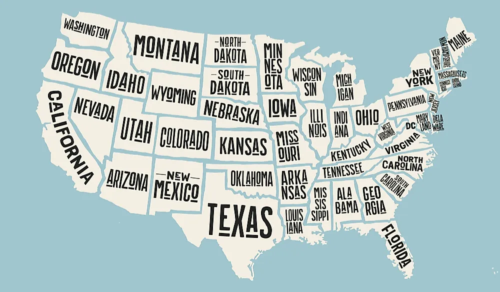
Only part of Texas belongs to the Great Plains. The state's roughly 269,000 square miles also include the pine forests of East Texas and the Gulf Coast's marshes. Within its Plains country, the Llano Estacado ends at the Canadian River valley in the north and the Caprock Escarpment in the east. Its western edge drops to the Pecos Valley in New Mexico along the Mescalero Escarpment. Those natural boundaries enclose a plateau that crosses the Texas and New Mexico border. The larger Great Plains likewise occupy parts of two countries. Their combined area is roughly equal to two Western Europes plus the whole state of Texas.