The Most Remote Mountain Range In The Lower 48
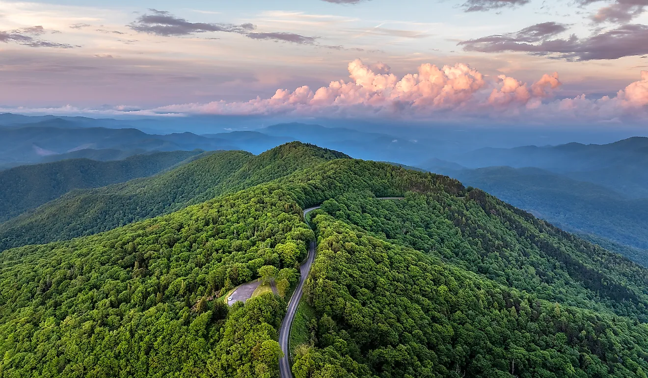
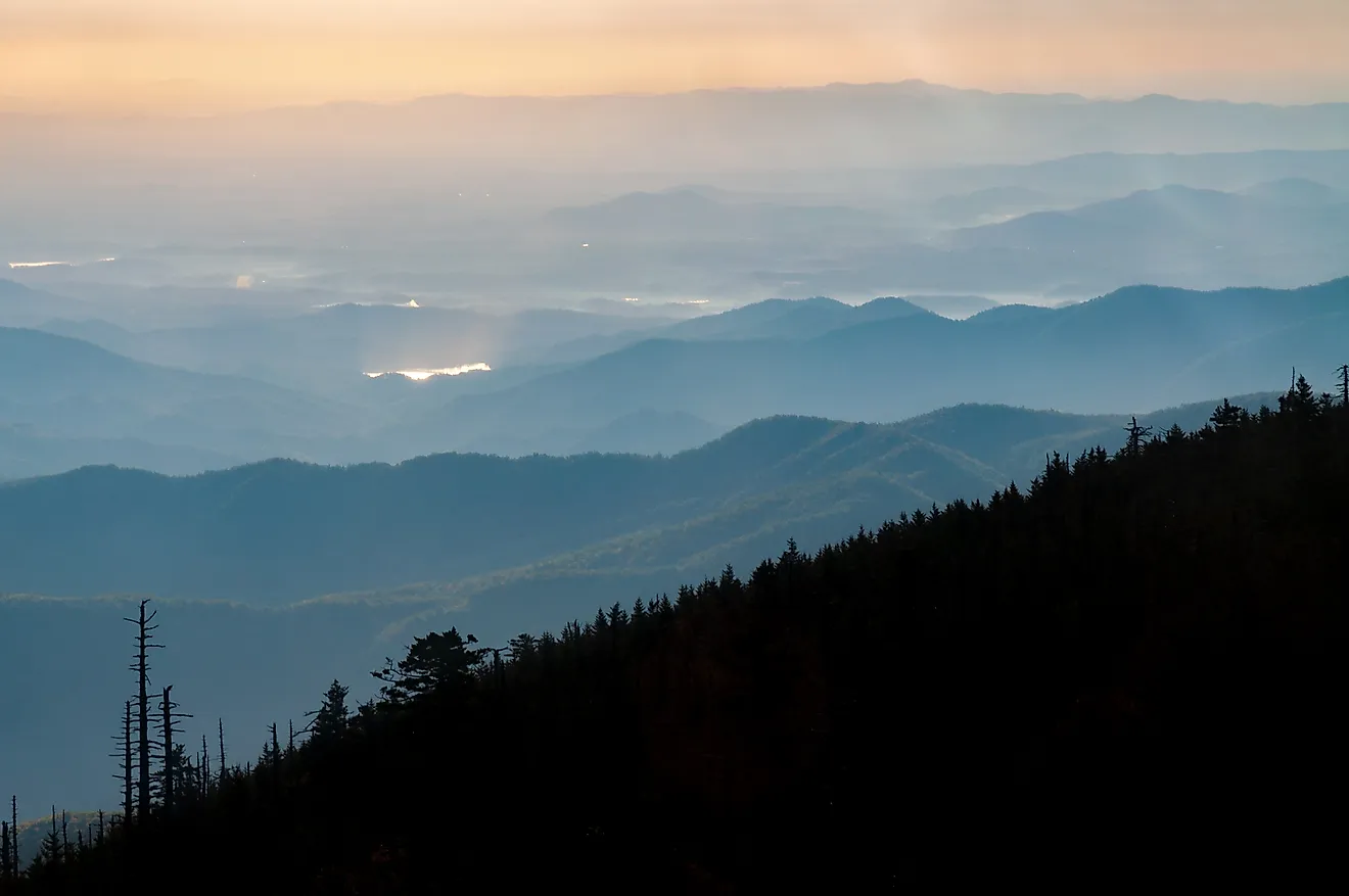
Set in sparsely populated western Wyoming, the Wind River Range is easily among the most remote mountain regions in the contiguous United States. Stretching approximately 100 miles (161 km) along the Continental Divide, this range contains dozens of towering peaks, hundreds of alpine lakes, glaciers, and vast stretches of roadless wilderness. But unlike many other major mountain destinations in the American West, much of its interior can only be reached on foot or horseback, often requiring several days of travel. Its rugged terrain, limited infrastructure, and considerable distance from any sort of major population centers have only helped preserve its largely undeveloped landscapes that few get to experience up close.
Where is the Wind River Range?

The Wind River Range runs northwest to southeast through west-central Wyoming, between the Green River Basin to the west and the Wind River Basin to the east. Its northern peaks extend toward Togwotee Pass, while the southern end approaches South Pass.
Considered a part of the much broader Rocky Mountain Range, the Continental Divide follows the Winds' high crest, separating rivers that ultimately drain toward different parts of North America. Much of the western slope also belongs to Bridger-Teton National Forest, while Shoshone National Forest covers much of the eastern side. Furthermore, parts of the eastern mountains and foothills also lie within the Wind River Indian Reservation, home to the Eastern Shoshone and Northern Arapaho tribes.
Why Is It So Remote?

The sheer isolation of the Wind River Range comes in large part from its immense, roadless interior, craggy terrain, and extensive legal protections. In fact, three federally designated wilderness areas cover more than 720,000 acres: Bridger Wilderness, Fitzpatrick Wilderness, and Popo Agie Wilderness.
Motorized vehicles and permanent road construction are generally prohibited within these protected areas anyway, leaving much of the mountainous interior reachable only by hiking or horseback riding. Even reaching some of the most used local trailheads involves lengthy drives along gravel roads. But beyond them, steep mountain passes, glacial valleys, and high elevations make travel simply physically demanding, and borderline impossible in some cases. Many of the range's more isolated lakes and summits require overnight backpacking trips, with some destinations lying more than 20 miles (32 km) from the nearest road.
Although popular locations could attract substantial numbers of summer hikers, the northern and central sections remain remarkably isolated all year long. Cell service is generally unreliable deep in the mountains, too, and emergency assistance can be many hours away.
The Geography of the Range

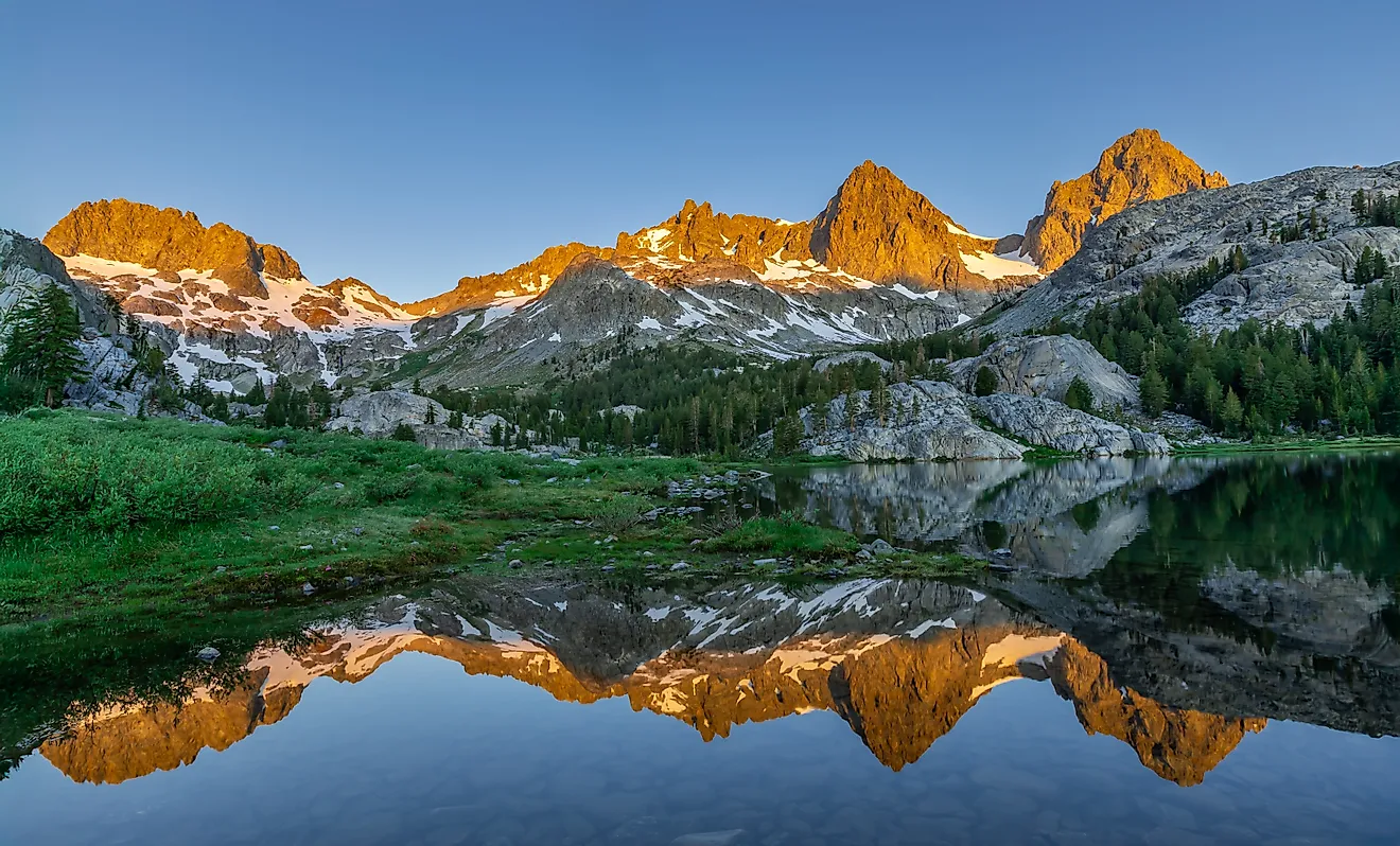
The region contains more than 40 named peaks exceeding 13,000 feet (3,962 meters), including Gannett Peak, Wyoming's highest mountain at 13,804 feet (4,207 meters). Other major summits in the Wind River Range include Fremont Peak and Mount Warren, with many of them consisting of ancient granite that was sculpted by massive glaciers during successive ice ages. These same glaciers carved deep U-shaped valleys, steep cirques, and rocky basins that now contain more than 1,300 named lakes, too.
For that matter, these mountains hold some of the largest remaining glaciers anywhere in the Rocky Mountains (which span from northern Canada to New Mexico), including Gannett Glacier and Dinwoody Glacier. Glacial meltwater from these enormous chunks of snow and ice then feeds numerous mountain streams and lakes. Gannett Glacier is actually considered the largest glacier in the American side of the Rockies, although its ice coverage has declined considerably over the past century.
Local Wildlife and Ecosystems

Supporting a diversity of wildlife across its forests, mountain meadows, and alpine tundra, the lower elevations of the Wind River Range house stands of lodgepole pines, Douglas firs, and aspens, while Engelmann spruces and whitebark pines tend to grow farther uphill. Above the tree line, vegetation consists mainly of hardy grasses, sedges, and alpine wildflowers.
Elk, mule deer, and moose inhabit the forested valleys, while bighorn sheep frequent the rocky slopes, especially around Whiskey Mountain. Black bears occur throughout the range, with grizzly bears primarily inhabiting its northern sections in smaller numbers. Smaller mammals, including pikas and yellow-bellied marmots, tend to thrive among high-elevation boulder fields. Limited aquatic life does exist here, too, with the range's streams and lakes boasting several trout species, namely native cutthroat trout.
What You Can See and Do in the Wind River Range

Not that you have many other options, but the Wind River Range is best explored on foot, with several established trails leading into its most recognizable areas. From Elkhart Park, backpackers can reach Island Lake, a turquoise alpine lake surrounded by snow-capped granite summits, before continuing into Titcomb Basin beneath Fremont Peak. The trip generally demands multiple days, making it a popular draw for experienced backpackers.
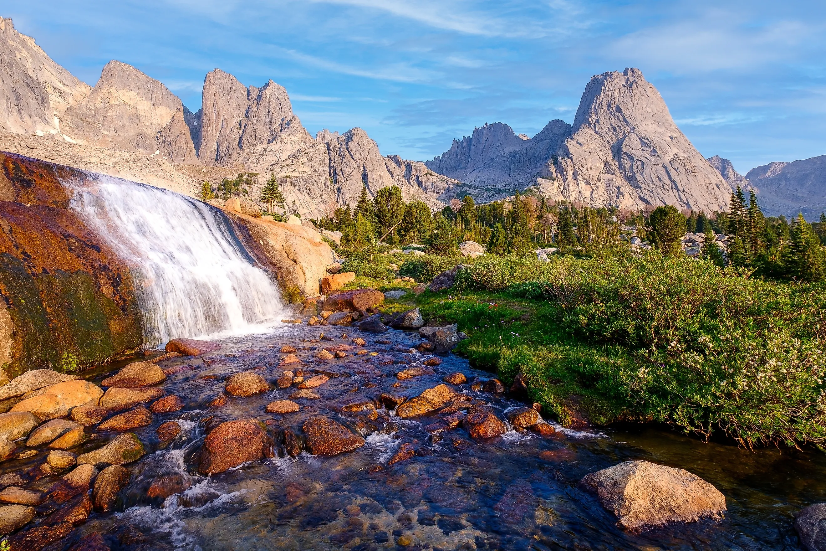
In the northern range, Green River Lakes offers views of the flat-topped Squaretop Mountain, with lakeside trails, fishing, and camping nearby. On the other hand, farther south, Cirque of the Towers is known for its steep walls and distinctive summits, including Pingora Peak. Here, trails from Big Sandy Opening lead toward the cirque, which also attracts rock climbers.
The Continental Divide Trail crosses the range, too, bringing long-distance hikers through its forests and high valleys. And while shorter, more accessible outings are possible, the greatest scenery often lies well beyond the roads, as mentioned before.
How to Plan Your Visit to the Winds

The towns of Pinedale and Lander serve as the main gateway hubs to the Wind River Range, each hosting a number of hotels and other accommodations. Popular starting points close by include Elkhart Park, Big Sandy Opening, and Green River Lakes, although reaching some of the spots involves driving long distances on unpaved roads. It is generally recommended to bring at least a 4WD while exploring this part of the country regardless of where you go.
July through September generally offers the best weather conditions for hiking, although snow still sometimes lingers on higher passes into midsummer. Afternoon thunderstorms, freezing nighttime temperatures, and sudden snowfall are also all very possible, even during summertime. With that, all visitors should carry reliable navigation equipment, bring appropriate clothing, prepare for limited cell service, follow bear safety precautions, and check current trail conditions before departure.
Try Seeing This Truly Wild Part of the West for Yourself
If you have the time, the Wind River Range can be included in a longer trip to Grand Teton National Park and Yellowstone National Park. From Jackson, drive southeast to Pinedale, where several trails lead into the range. Allow at least two or three additional days for exploring the area, as many of its best-known destinations require lengthy hikes or overnight backpacking trips.