The Highest Mountain Range In The Lower 48
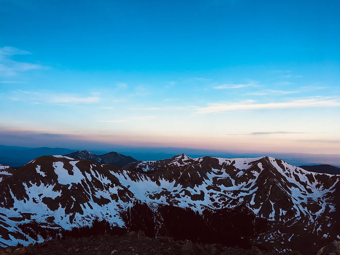
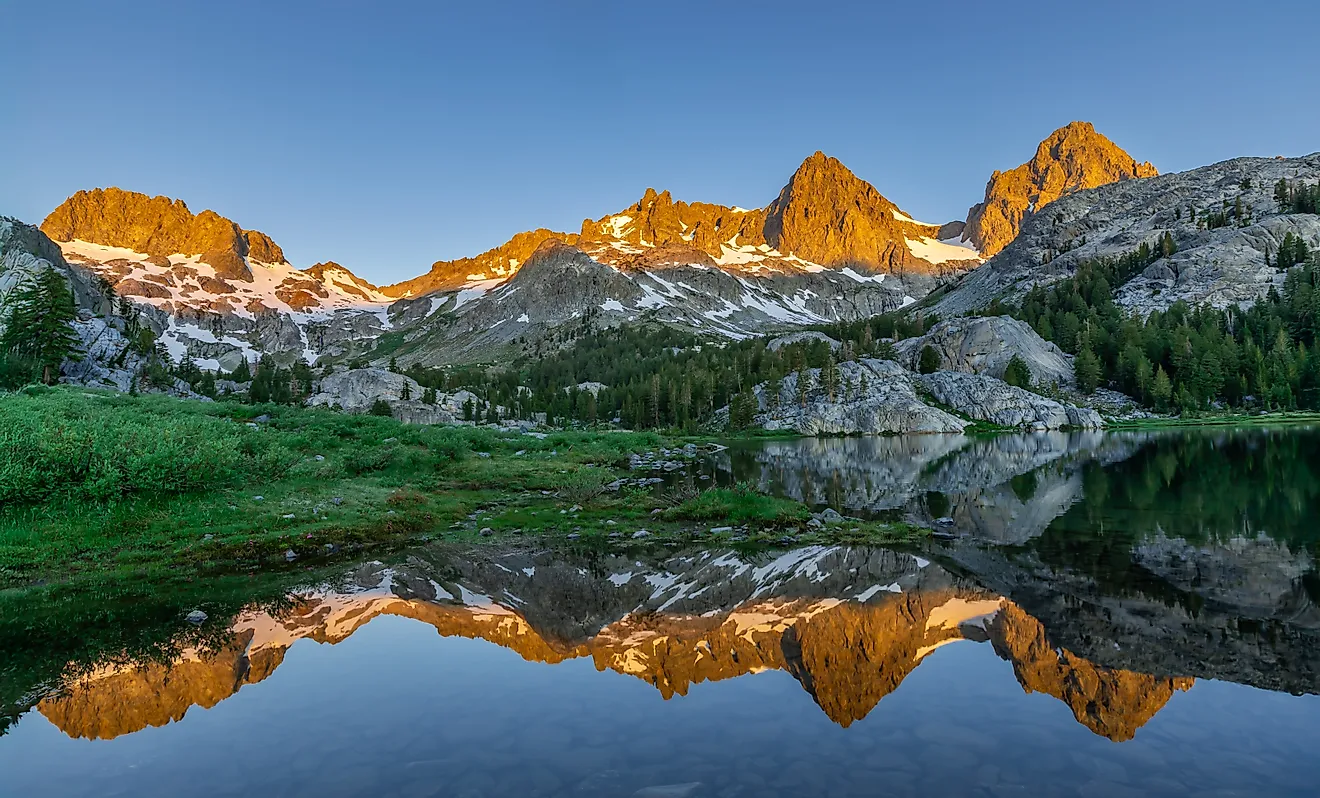
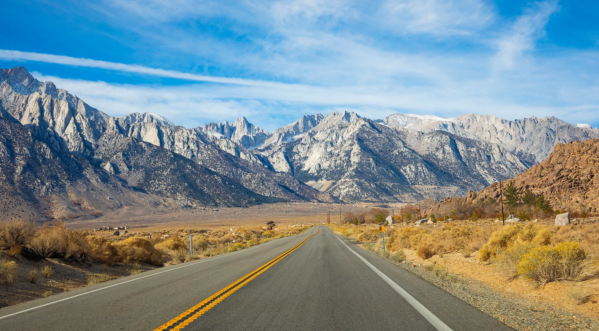
California's Sierra Nevada is the highest mountain range in the lower 48, and its tallest peak, Mount Whitney, reaches 14,505 feet. Colorado's Rocky Mountains have dozens of peaks above 14,000 feet, far more than California, but the tallest of them falls less than 100 feet short of Whitney. The peak stands on the crest west of Lone Pine, a small town on US 395 in the Owens Valley, where the east side of the range climbs steeply out of the valley floor. From town, the nearer Lone Pine Peak looks taller, even though Whitney is more than 1,500 feet higher. Above the valley, the high slopes along the crest are home to Sierra Nevada bighorn sheep, listed as endangered under federal and California law.
Mount Whitney Is the Highest Summit in the Lower 48

Hikers who reach the top of Mount Whitney find a stone hut, the Smithsonian Institution Shelter, completed in 1909, along with survey markers that disagree about the height. A U.S. Geological Survey benchmark disk reads 14,494 feet and an older plaque reads 14,496.8 feet, both set before the current national survey datum came into use. Measured against that datum, the National Park Service puts the summit at 14,505 feet. The summit lies on the boundary between Sequoia National Park and Inyo National Forest.
The Sierra Nevada runs about 400 miles through eastern California and spans 50 to 80 miles in width, and Whitney rises in its southern part, within 85 miles of Badwater Basin in Death Valley National Park. At 282 feet below sea level, Badwater is the lowest point in North America. The Badwater 135 ultramarathon follows a 135-mile course between the two, finishing at the Mount Whitney trailhead near Lone Pine.
A Two-Mile Wall Above the Owens Valley

US 395 follows the floor of the Owens Valley along the eastern foot of the Sierra, and at Lone Pine the highway passes about 15 miles east of Whitney's summit, which stands 10,778 feet above the town, just over two vertical miles. The steep Sierra escarpment rises between them, with the weathered granite boulders of the Alabama Hills spread across its base.
The Bureau of Land Management protects the hills as the Alabama Hills National Scenic Area, and from the right spot, Mobius Arch, one of the natural granite arches there, frames Mount Whitney on the crest behind it. Whitney Portal Road leaves town past the Alabama Hills and runs 13 miles west to the Whitney Portal trailhead at 8,360 feet, so more than 4,000 feet of the climb from Lone Pine is done by car before the hike begins.
The Summit Trail Runs on a Permit Lottery

From May 1 through November 1, Inyo National Forest limits day use in the Mount Whitney Zone to 100 people per day and overnight entries on the Mount Whitney Trail to 60 people per day. The day-use quota applies to the Mount Whitney Zone, including routes other than the main summit trail.
During the quota season, most available permits are allocated through a lottery on Recreation.gov that accepts applications in February. Between November 2 and April 30, wilderness permits are still required, but the number issued is not limited by a daily quota. The trail runs about 22 miles round trip and gains more than 6,100 feet. Near the top, 97 switchbacks lead up to Trail Crest at 13,600 feet, and from there the last miles to the summit lie inside Sequoia National Park.
The John Muir Trail Ends on the Summit

The John Muir Trail begins at Happy Isles in Yosemite Valley and follows the High Sierra south for about 211 to 214 miles, depending on how it is measured, sharing roughly 160 of those miles with the Pacific Crest Trail. On the shared stretch, it crosses Forester Pass at 13,153 feet, the highest point anywhere on the PCT and still 1,352 feet below the John Muir Trail's finish on Whitney's summit.
Tioga Road Closes for Winter

Tioga Road through Yosemite National Park crosses the Sierra crest at Tioga Pass, 9,945 feet up and about 4,560 feet below Whitney's summit, and it is the highest highway pass in California. The road is usually closed by snow sometime in November and reopens in late May or early June. After the 2025 to 2026 winter, it reopened on May 15, 2026, and in early November 2026 it had already been temporarily closed due to snow.
South of Tioga, the next road all the way across the range is Sherman Pass Road on the Kern Plateau, which is closed to passenger vehicles in winter. When Tioga Road closes for winter, drivers traveling between Yosemite Valley and Lone Pine must make a lengthy detour around the Sierra Nevada, either north through the Lake Tahoe region or south via routes such as Walker Pass and Highway 58 through Tehachapi Pass.
Endangered Bighorn Sheep Live Along the Crest

Sierra Nevada bighorn sheep live on the high slopes along the crest, and historically they ranged between the Yosemite region and Mount Whitney, including the high country of Sequoia and Kings Canyon National Parks, more than 48 percent of which lies above 10,000 feet. They are listed as endangered under federal and California law, and by 1995, only about 100 remained in the range. In late 2024, Tom Stephenson, who leads the state's recovery program, put the total population at 380 to 400 animals.
Of the 204 adult ewes counted in 2025, 161 were in the southern recovery unit, in the high country west of Lone Pine and Independence. In 2014, 10 ewes and four rams were released at Big Arroyo on the Great Western Divide, a ridge west of the main crest in Sequoia National Park. That herd grew to 28 animals by 2020, but its collared sheep are believed to have died in the heavy snows of the 2022 to 2023 winter, and no adult ewes were counted there in 2025.
The Ranges That Come Closest

Colorado's Mount Elbert, in the Sawatch Range, is the highest peak in the Rocky Mountains at 14,440 feet, 65 feet below Whitney and second in the lower 48. The standard route up its northeast ridge gains about 4,500 feet in under 10 miles round trip on a well-trodden trail, about 1,600 feet less climbing than Whitney's main trail over less than half the distance. Colorado has far more high ground, with 58 named peaks above 14,000 feet to California's dozen or so and a mean elevation of about 6,800 feet, the highest of any state and more than twice California's 2,900.
In Washington, the National Park Service lists Mount Rainier, the tallest peak in the Cascades, at 14,410 feet. However, a 2024 GPS survey found that melting ice had left a rocky point on the southwest rim as the mountain's highest summit. Researchers measured it at 14,399.6 feet using the older NGVD29 elevation datum, or 14,406.2 feet using NAVD88, the same datum used for Whitney's modern elevation. Rainier has the greatest topographic prominence of any mountain in the lower 48, at approximately 13,210 feet.

Back in California, near Bishop, the White Mountains line the far side of the Owens Valley from the Sierra and reach 14,252 feet at White Mountain Peak, the third-highest summit in California. The two higher ones, Whitney and Mount Williamson, are both in the Sierra. The western ridge route up White Mountain Peak climbs about 8,150 feet out of the valley.
Ancient pines grow near the upper limits of both ranges. In the southern Sierra, foxtail pines grow at treeline, and the oldest known foxtail is more than 2,000 years old. Across the valley, the Ancient Bristlecone Pine Forest spreads across slopes between 9,800 and 11,000 feet in Inyo National Forest, and one of its trees, Methuselah, was 4,789 years old when it was sampled in 1957.
Eastern California's Highest and Lowest Ground

Lone Pine sits on the floor of the Owens Valley between the Sierra Nevada on the west and the Inyo Mountains on the east, with Whitney's summit just over two miles above the town. Farther east, past the Inyo Mountains, Badwater Basin in Death Valley lies within 85 miles of that summit at 282 feet below sea level, so the highest and lowest points in the contiguous United States are about 14,787 feet apart in elevation, in the same corner of eastern California. Through the winter, the upper Whitney Portal Road is routinely closed below its switchbacks, so a hiker heading for the summit before spring starts lower on the mountain and adds miles on foot to reach the trailhead.