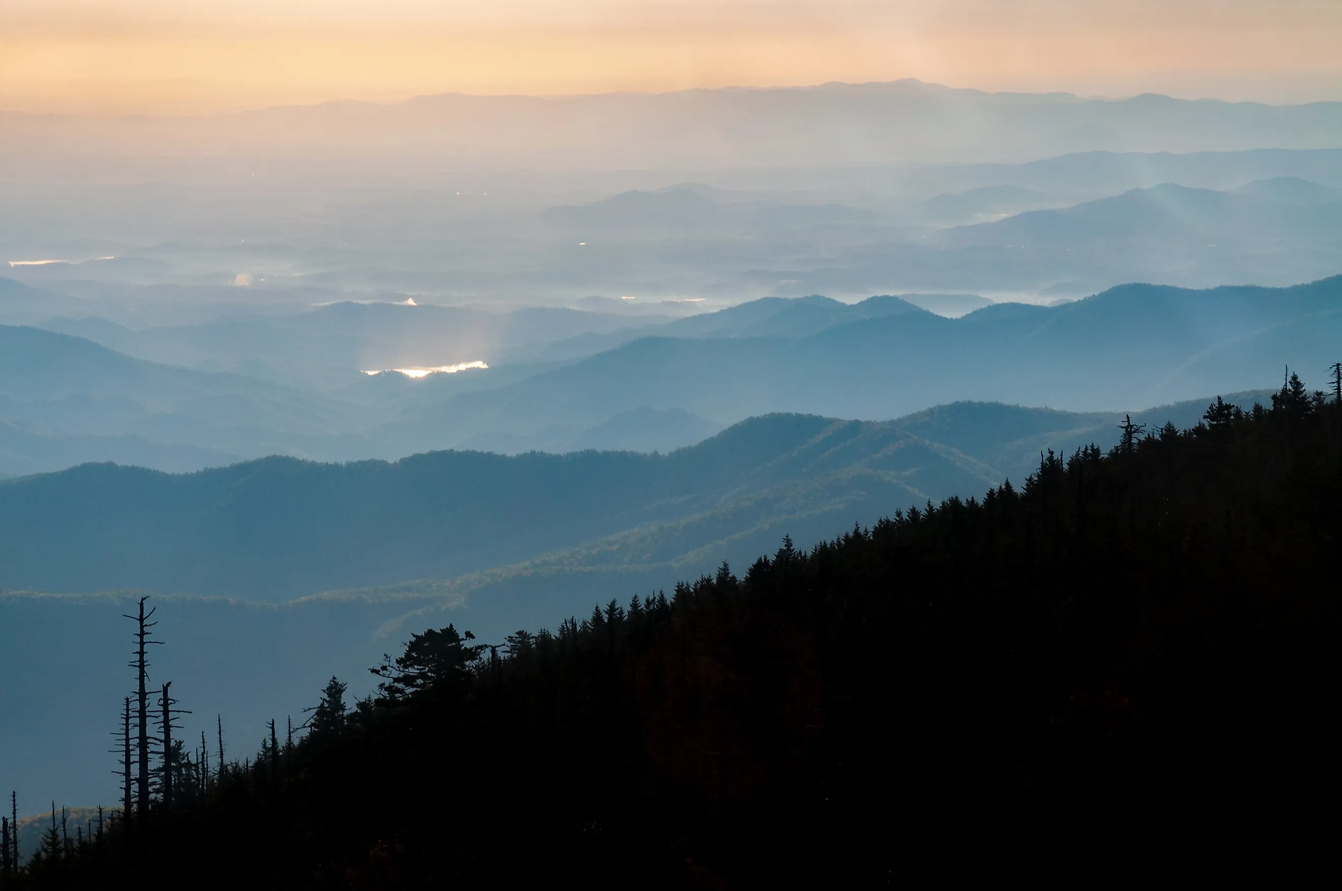
The Most Remote Peak In The Appalachians
Sometimes navigating windy logging roads and unforgiving wilderness can lend to spectacular views. For 100 miles in northern Maine, the Apalachian trail passes no towns and no paved roads. Somewhere in the wilderness stands White Cap Mountain, a contender for one of the most remote peaks in the Appalachian Mountains.
When looking for the most remote mountain peak in the Appalachian Mountains, there are two primary ways to answer the question. One is to simply look at the most topographically isolated peak in the mountain range, meaning it is the tallest mountain in a large region. Another is to look for a remote peak that is not accessible by road and requires a long trek on foot to reach.
Regardless of how one defines most remote, the mountains offer a chance to experience an unforgettable view.
Setting the Scene: The Appalachian Range

The Appalachian Mountains have 37,857 named peaks across their 2,000-mile length. While the entire Appalachian Chain width ranges from 100 miles wide to 310 miles in some regions, a major subrange of the Appalachian Chain called the Blue Ridge Mountains, spans about 5 to 65 miles wide.
Despite being largely known as an American mountain range, it actually stretches all the way up into the eastern provinces of Canada, including Quebec, Prince Edward Island, New Brunswick, Nova Scotia, and Newfoundland and Labrador. In America itself, the mountains go through 18 states in the U.S., beginning in Maine, with its ending southern points at Georgia, and Alabama.

When compared with the other major mountain range in the lower 48 states, the Rocky Mountains, the Appalachian Mountains are much lower in elevation. Even at their highest points of over 6,000 feet in elevation, they don't even reach half the height of the 14ers in Colorado, named for the fact they are 14,000 feet or higher in elevation. The reason for this low height is because the Appalachian Mountains are hundreds of millions of years older than the Rocky Mountains, dating back to the formation of Pangea 480 million years ago, and thus have had more time to erode from wind, rain, and streams.
Overall, the Appalachian Region has a larger population than the Rocky Mountains, with the Appalachian Regional Commission reporting it had 26.8 million people across the region in 2024, compared to 13.3 million people in the Rocky Mountain Bureau of Economic Analysis Region, which includes Colorado, Idaho, Montana, Utah, and Wyoming.
Deep in the Wilderness: White Cap Mountain

One way to find the most remote peak in the Appalachian Mountains is to analyze the Appalachian Trail, a 2,190-mile-long recreational footpath that begins in Georgia and passes through the entirety of the range in the U.S. to the terminus point at Mount Katahdin in Baxter State Park.
Along this footpath, the most isolated section is the Hundred Mile Wilderness. Beginning at Monson, Maine, this 100-mile section of the trail has no towns, roads, and very few places to restock. It ends 15 miles short of the northern end of the trail at Mount Katahdin, meaning anyone who wants to finish the trail must bring along enough supplies to make it through this pristine wilderness.
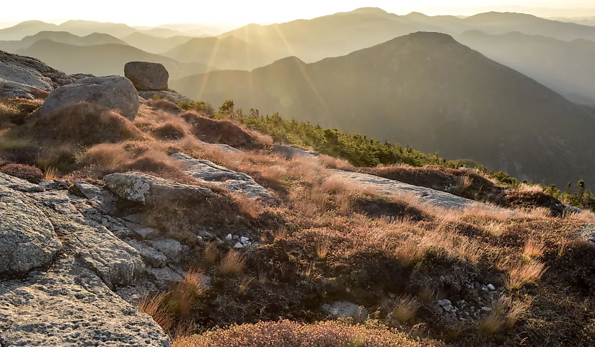
In the middle of this wilderness is arguably the most remote peak in the Appalachian Mountains: White Cap Mountain. At 3,650 feet tall, it's the tallest peak in the 100 Mile Wilderness, and hikers note it offers views up to 200 miles away, including Mount Katahdin. Technically speaking, one can drive all the way around the wilderness to take Frenchtown Road until reaching a road gate. The road itself is a dirt road, however, and is designed for logging vehicles. Hikers and travelers have often noted that it is very difficult to spot the trail here to White Cap Mountain due to it being in the middle of the woods on unpaved and difficult-to-navigate logging roads.

Even from parking at the end of Frenchtown Road, it takes a 7.3 miles round trip hike to reach the top of the summit of White Cap Mountain. On the Appalachian Trail, one passes over hardwood forests and up through spruce and fir. The Maine Appalachian Trail Club installed footsteps to enable hikers to reach the peak more easily.
Another isolated peak in the Hundred Mile Wilderness is Barren Mountain, although it is located further to the south in the Hundred Mile Wilderness, closer to the entry point of Monson. Much like White Cap Mountain, it is technically accessible via car, but one has to navigate dirt logging roads to reach it. Barren Mountain stands at 2,648 feet above sea level and is the first large peak on the Hundred Mile Wilderness. There's a fire tower at the top, though it is deteriorating and requires caution if one decides to climb it, but offers great views.
Mount Mitchell Stands Alone

Mount Mitchell in Yancey County, North Carolina, is the most topographically isolated peak in the Appalachian Mountains due to its height. It stands 6,684 feet above sea level in the subrange of the Black Mountains, making it the tallest peak in the Appalachian Mountains and east of the Mississippi more generally.
By topographical isolation, we are looking at how far away this mountain is from one that is taller than it. In Mount Mitchell's case, the nearest taller mountain is 1,189 miles away in Colorado at Lone Butte at 6,686 feet. This feature is part of the Raton Mesas, a series of volcanic features located to the east of the Rocky Mountains in Colorado and New Mexico.
Although it is the tallest, its runners-up are only a few dozen feet behind it. The second tallest is Mount Craig at 6,647 feet, located in the Black Mountains subrange in North Carolina, and the third tallest is Mount Kuwohi (formerly Clingmans Dome) at 6,643 feet. This peak sits in the Great Smoky Mountains National Park on the border between Tennessee and North Carolina.
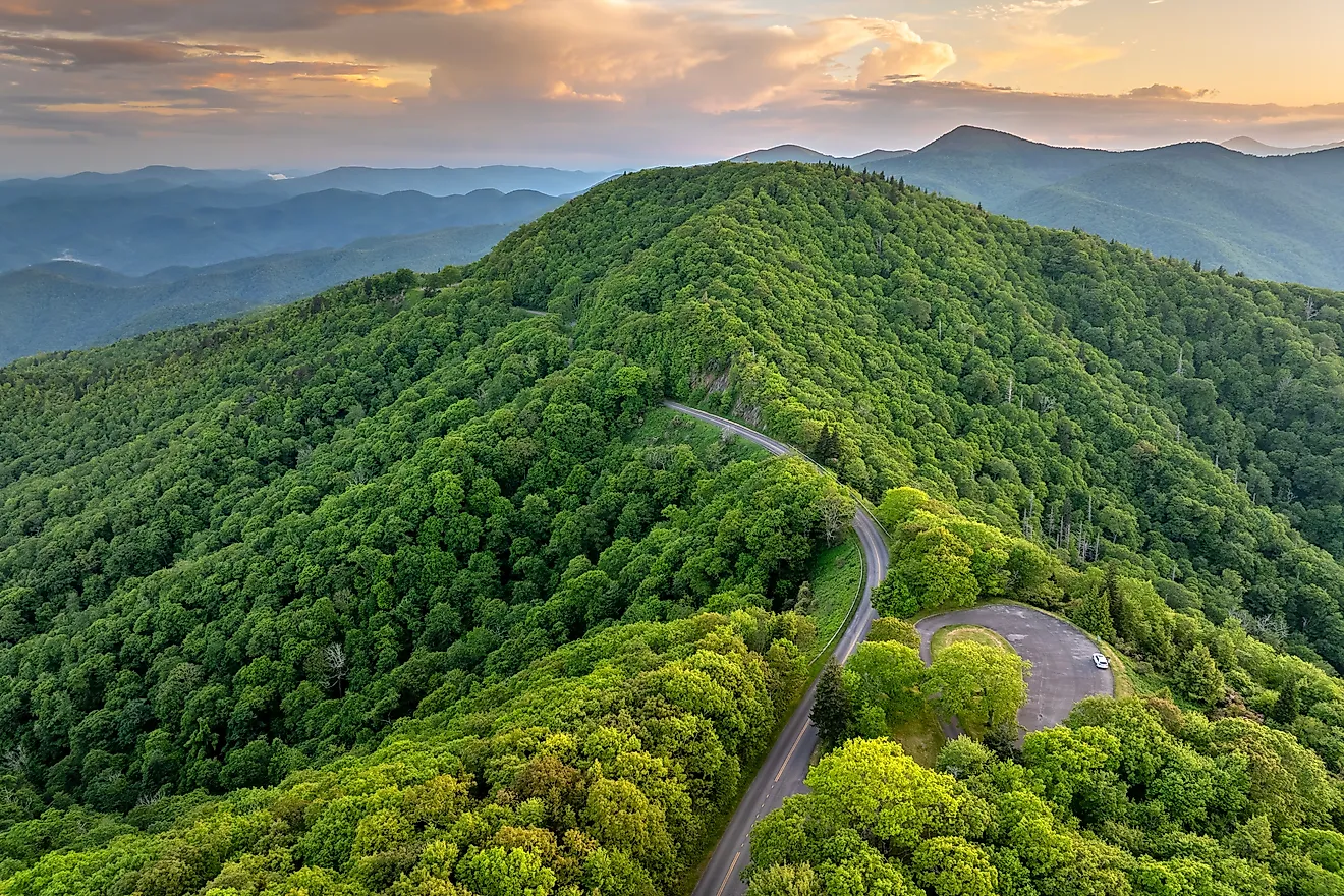
Mount Mitchell is accessible via the Mount Mitchell State Park. To reach it, one has to take the Blue Ridge Parkway until it connects with NC 128, which goes up to the summit of Mount Mitchell. This road is the highest paved road east of the Mississippi. Mount Mitchell is not part of the Appalachian Trail, but it is much easier to reach by car than White Cap Mountain.
Worth the Long Walk
The highest points in the Appalachian Mountains tend to be relatively easy to reach, as there are parking lots close to the summit of Mount Kuwohi and Mount Mitchell. The remote peaks of the Hundred Mile Wilderness, on the other hand, take more determination to find, whether that's hiking through an unforgiving wilderness or navigating winding, bumpy dirt logging roads.
By ascending to the top of White Cap Mountain, one can see out for hundreds of miles into nothing but woodlands and mountain peaks, which hikers regularly note makes a big impact as they realize just how far away they are from civilization, and that even in the developed Eastern U.S. there are still remote peaks like this to be discovered.