The 7 Tallest Mountains In The Appalachians
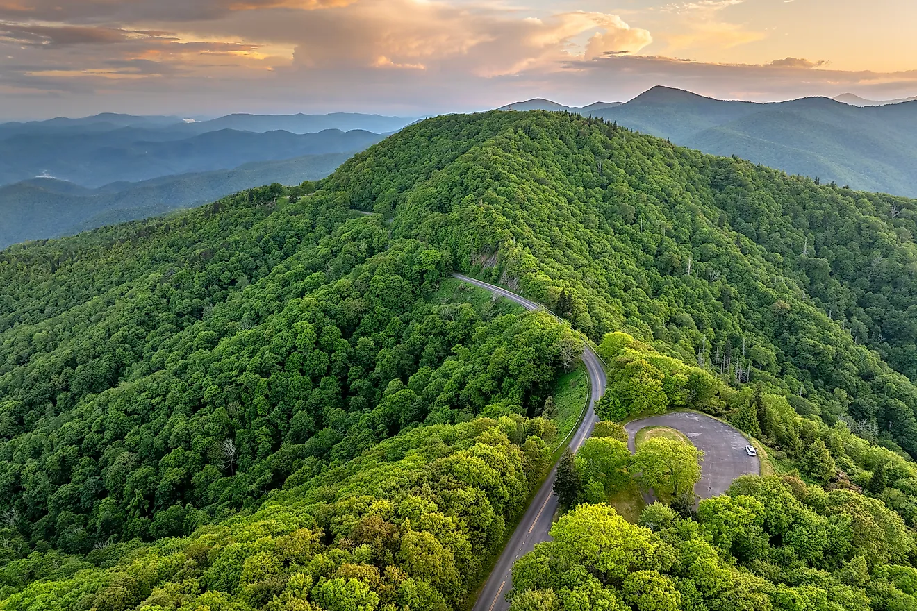
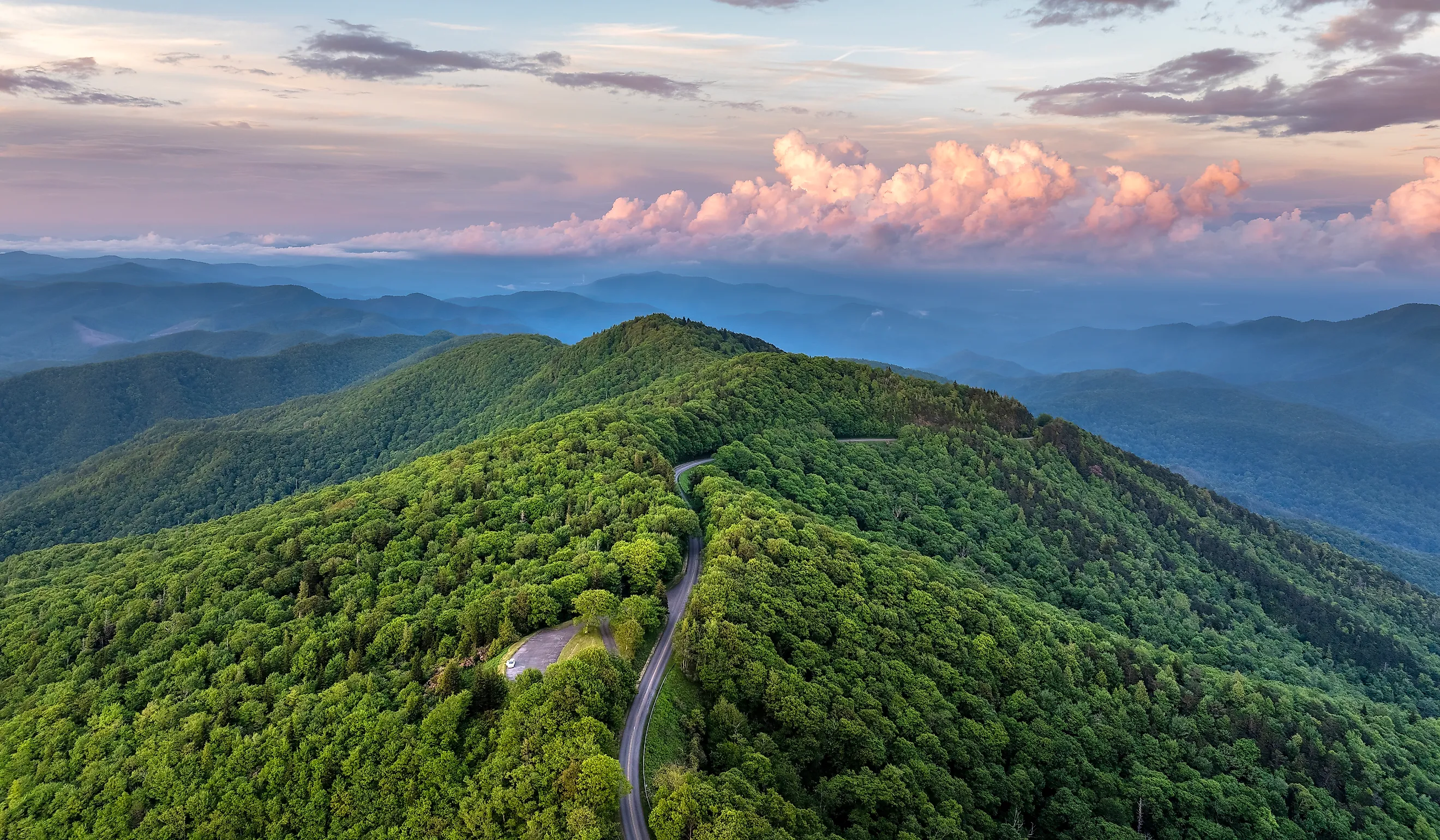
The Appalachian Mountains stretch more than 1,800 miles (3,000 km) down the eastern spine of North America. Born from the Alleghenian orogeny nearly 300 million years ago, this chain was once as high as the modern Himalayas. Over hundreds of millions of years, relentless weathering and glaciers carved away at the soft exterior sediments, leaving behind the harder hearts of Precambrian gneiss, schist, and quartzite. The Appalachians' highest peaks are tightly clustered within the southern ranges, mostly along the North Carolina-Tennessee border. These 7 peaks, blanketed in spruce-fir ecosystems, offer a glimpse into the area's geologic history as well as the heritage of America's Southeast.
Mount Mitchell 6,684 feet (2,037 meters)

Composed of Precambrian gneiss and schist, Mount Mitchell is the highest peak in mainland eastern North America and is part of the Black Range in North Carolina. Though Cherokee and early settlers had long summited the peak, the first scientifically documented ascent was made by Elisha Mitchell, a University of North Carolina professor, in 1835. Mitchell used barometric readings to prove it was taller than New Hampshire's Mount Washington. Mitchell fell to his death at nearby Mitchell Falls in 1857 while defending his measurements against a rival claim and was ceremoniously buried at the summit. In an effort to halt aggressive logging in 1915, Mount Mitchell became the centerpiece of North Carolina's first state park, Mount Mitchell State Park.
Mount Craig 6,647 feet (2,026 meters)

Located just one mile south of Mount Mitchell in North Carolina's Black Mountains, Mount Craig is named after former North Carolina Governor Locke Craig, who worked hard to protect Mount Craig and the surrounding mountains from intense logging. Craig established North Carolina's first state park to protect the area from logging. Mount Craig's height rank was contested for decades, traditionally placing third on this list, when a precise GPS survey in 1993 established its elevation to 6,647 feet (2,026 meters), securing it as the second highest peak in the Appalachian chain. The most popular hike to Craig's summit is the challenging Deep Gap Trail, where hikers who reach the top are rewarded with lovely views of the southern Black Mountain Range.
Kuwohi (Clingmans Dome) 6,643 feet (2,205 meters)

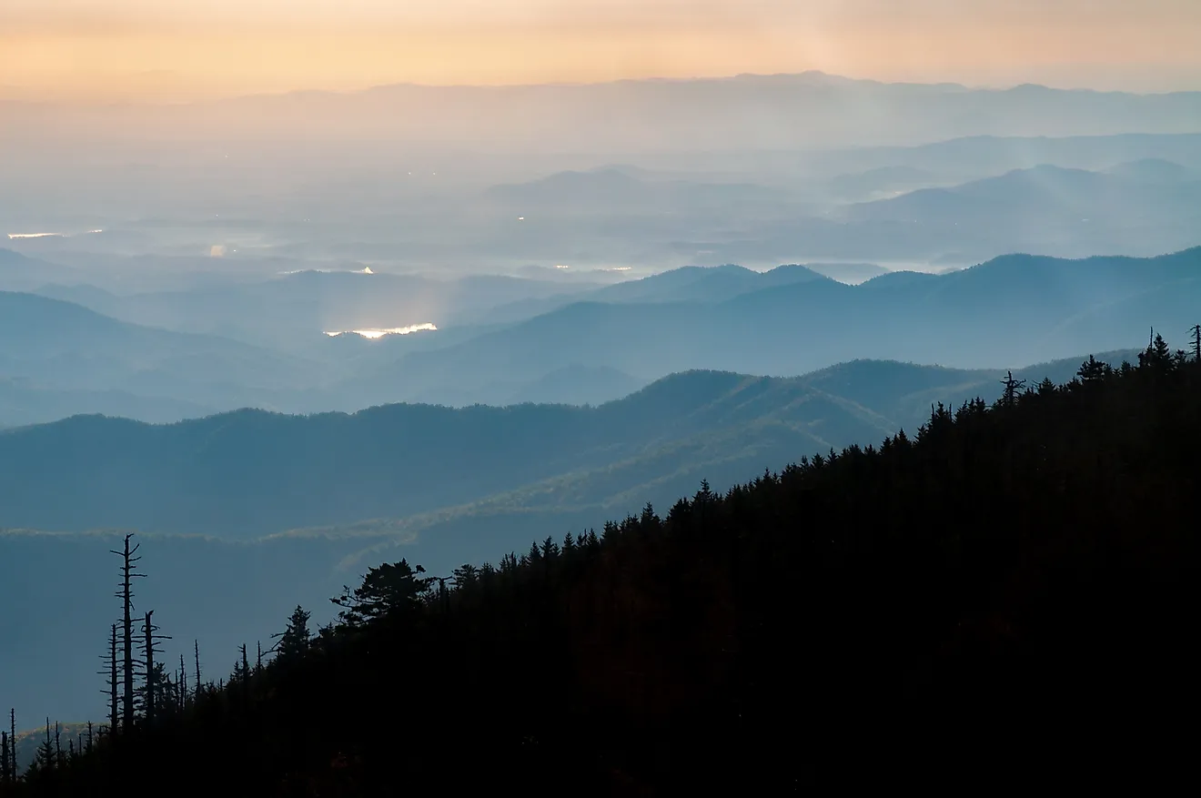
Just four feet shorter than Mount Craig, Kuwohi is geologically formed from the Ocoee Supergroup—metamorphic sedimentary rocks like hard metasandstone that survived millions of years exposed to the elements. In 1859, geographer Arnold Guyot renamed the mountain Clingmans Dome to honor Senator Thomas Clingman during a bitter elevation dispute but in 2024 the US government officially restored it to its original name, Kuwohi, which means "mulberry place" in Cherokee, a nation that has held the mountain as sacred for millennia as a place of spiritual refuge and vision quests. The highest point in Tennessee, the Appalachian Trail crosses over Kuwohi and is popular with hikers.
Mount Guyot 6,621 feet (2,018 meters)

Mount Guyot is one of the most remote peaks on this list, buried deep in the wilderness of the eastern Great Smoky Mountains. Composed of Precambrian sandstone and slate, Guyot was first documented in 1856 by Samuel Buckley, a botanist who studied its unique high-altitude plant life. But the mountain was named shortly after for Swiss geographer Arnold Guyot to recognize his extensive mapping contributions to the Appalachian range. Because of its remote location, Guyot has never been subjected to roads or commercial tourism, allowing its old-growth red spruce and Fraser fir forests to remain largely untouched.
Balsam Cone 6,611 feet (2,015 meters)
Geologically formed from dense hornblende gneiss, Balsam Cone is a sharp, jagged peak located in North Carolina's Black Mountains. The mountain was named after the thick canopy of dark southern balsam trees known as Fraser firs that blanket its upper slopes. Historically, Balsam Cone served as a difficult barrier to early cross-mountain transit and isolated the communities of Yancey County. Today, it is still very inaccessible to casual tourists and hikers and can only be reached via the difficult Black Mountain Crest Trail, often referred to as "The Death March" by backpackers.
Mount Le Conte 6,593 feet (2,010 meters)

Standing tall in Tennessee's Great Smoky Mountains, Mount Le Conte rises 5,301 feet from its base near Gatlinburg, the highest vertical relief of any mountain east of the Rocky Mountains. First measured in the 1850s, its first documented mountaineering ascent occurred in 1924 when explorer Paul Adams led Washington dignitaries up the slopes to showcase the area's rugged beauty. The expedition successfully convinced national leaders to protect the region as a national park, creating the Great Smoky Mountains National Park. At Le Conte's summit sits Le Conte Lodge, a rustic resort built in 1925 that predates the park itself.
Mount Buckley 6,850 feet (2,006 meters)

Located just a short walk down the ridgeline from Kuwohi, Mount Buckley is a distinct, narrow knob of a peak formed from folded Precambrian metagreywacke rock that was pushed upward during ancient tectonic collisions. The peak is named for Samuel Buckley, an American botanist and geologist who completed the first recorded scientific ascent and measurement of the peak in 1858. Buckley's early visits led to the discovery of several rare plant species unique to the southern highlands, and the zones in which they grow are still protected today. The Appalachian Trail runs directly over Buckley's summit.
Mount Gibbes 6,571 feet (2,003 meters)

Tucked away in the southern section of the Black Mountain range in North Carolina, Mount Gibbes has a rounded, forested profile consisting of metasedimentary gneiss. Historically, the peak was a critical waypoint for early meteorological studies and barometric altitude testing in the American Southeast. Because it lies away from the heavily used tourist tracks of Mount Mitchell State Park, its slopes serve as a sanctuary for rare songbirds and contain some of the least-disturbed cloud-forest microclimates in the Blue Ridge area.
Potato Hill 6,475 feet (1,974 meters)

The ninth highest peak in the Appalachians, Potato Hill's broad, rounded summit looked like a buried potato to early Appalachian settlers. An ancient peak composed of highly durable crystalline schist, the peak is known for severe, rapidly shifting weather conditions, frequently trapping hikers in sudden chilly cloud banks. Historically, its lower ridges were used by early mountaineers for summer cattle grazing and logging before being incorporated into protected conservation lands. Potato Hill is an excellent example of the rugged topography of the Southern Appalachians, isolated and devoid of any roads or structures.
Mount Chapman 6,417 feet (1,956 meters)

Located deep in one of the most remote, trackless backcountry zones in the Great Smoky Mountains National Park, Chapman is formed from fractured Precambrian quartzites. The mountain was extensively mapped in the late 1850s by Arnold Guyot, and later named to honor David Chapman, a wealthy Knoxville businessman who served tirelessly as the chairman of the Great Smoky Mountains Conservation Association, playing a large role in raising millions of dollars to purchase private logging lands to convert them to a public park. Though very isolated from public roads, the Appalachian Trail cuts through its high ridges, giving backpackers panoramic views of the surrounding wilderness.
High Peaks And A Legacy Of Appalachian Conservation
Along with the Appalachians' interesting geological history, its highest peaks also tell a story of intense conservation battles, contested height rankings, and modern backpacking adventures. The legacy of these efforts lives on today through protected wilderness areas like Mount Mitchell State Park and the Great Smoky Mountains National Park, as well as the Black Mountain Crest and Appalachian Trail, allowing current and future generations to explore and appreciate the wild, rugged alpine zones these mountains offer.