The Longest Mountain Range In The United States
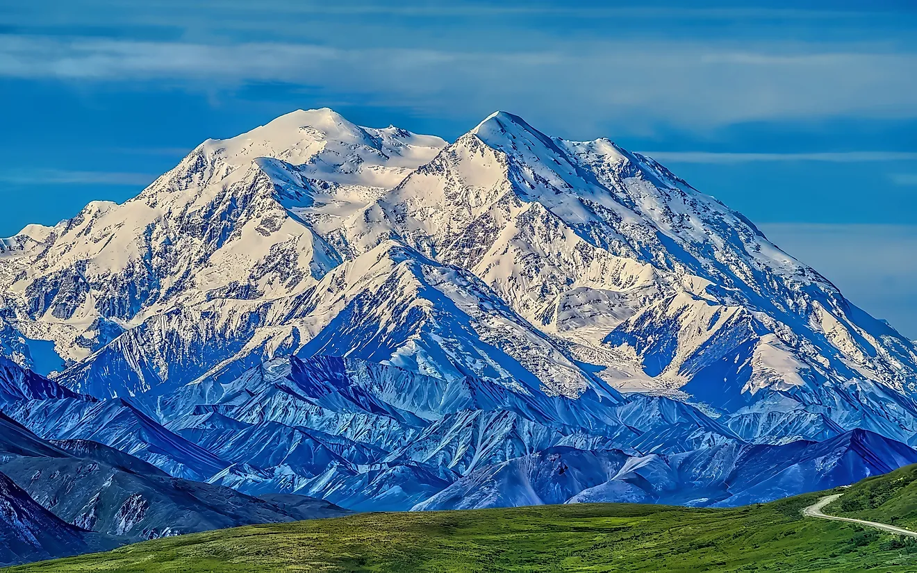
Essentially cutting the country in half from top to bottom, the Rockies are easily the longest mountain range in the United States. Their full length reaches thousands of miles, from the forests of northern British Columbia to the deserts of New Mexico. Within the United States, the range crosses six western states, encompassing high peaks, wooded valleys, and the headwaters of major rivers. Its immensely important geography also helps determine where much of the continent's water flows, the ranges of countless wildlife species, and how people travel from east to west. From Colorado's highest summits to Montana's glacially formed valleys, the Rockies don't just show off how Earth's greatest forces have shaped a mountain system spanning much of the continent. They are a fan favorite for outdoor adventure, too.
Where the Rocky Mountains Begin and End

The Rocky Mountains stretch approximately 3,000 miles (4,800 km) from the Liard River in northern British Columbia all the way down to northern New Mexico. That distance, of course, includes both Canada and the United States. In Canada, the mountains extend through British Columbia and Alberta before crossing the international boundary into the American West. The American portion then spreads across Montana, Idaho, Wyoming, Utah, Colorado, and New Mexico. Its southern end lies in the Sangre de Cristo Mountains, which extend from southern Colorado toward Santa Fe.
Along the eastern side of the Rockies, mountain foothills typically meet the Great Plains, creating a distinctly pronounced transition between open prairie and high mountain terrain. On the western side, things are usually a bit lusher, as it catches more of the rain derived from moisture coming off the Pacific Ocean.
Despite their familiar, collective name, the Rockies comprise numerous individual ranges separated by valleys, plateaus, and broad basins. Wyoming, for example, contains the Teton Range and Wind River Range, while Colorado includes the Front Range and Sawatch Range. Farther west, the Wasatch Range in Utah and Bitterroot Range along the Idaho-Montana boundary also belong to the Rocky Mountain system.
Note that the Sierra Nevada and Cascade Range are separate mountain systems farther west. Although all belong to the broader North American Cordillera, the intervening Great Basin and Columbia Plateau help distinguish the Rockies geographically from those Pacific mountain ranges.
How This Lengthy Range Formed

Although the process started as far back as 285 million years ago, much of the current Rockies took shape during the Laramide orogeny, a mountain-building episode taking place roughly 80 million to 55 million years ago. The Farallon Plate, an oceanic tectonic plate, slid beneath North America at an unusually shallow angle. This movement transmitted pressure far inland, folding rock layers and pushing large blocks of crust upward along faults, kind of like when you shift two sides of a bed sheet together. Some rocks exposed in the mountains are more than 1.7 billion years old.
The towering peaks visible today showcase millions of years of subsequent change. Later uplift elevated other parts of the region into smaller foothills, while rivers cut valleys and erosion stripped away overlying sedimentary layers. During ice ages, glaciers widened many of these valleys into broad U-shaped troughs and excavated bowl-shaped hollows called "cirques."
In a spot like Rocky Mountain National Park, these processes left exceptionally steep valley walls, exposed granite, and lake basins popular with sightseers that reveal how ice further reshaped the previously uplifted mountain terrain.
High Peaks, River Headwaters, and the Continental Divide

Mount Elbert in Colorado's Sawatch Range is the highest summit in the Rocky Mountains, reaching approximately 14,440 feet (4,401 m). In fact, Colorado features many of the range's tallest peaks, as well as its biggest collection of "fourteeners," mountains over 14,000 feet (4,267 m).
Running through much of this mountain system, the aptly named Continental Divide separates watersheds draining toward the Pacific Ocean from those draining toward the Atlantic Ocean, including the Gulf of Mexico, and the Arctic Ocean as well. Several major rivers begin in the Rockies. For one, the Colorado River starts in Rocky Mountain National Park, while the Rio Grande originates in Colorado's San Juan Mountains. In Montana, the Jefferson, Madison, and Gallatin rivers join near Three Forks to form the Missouri River.
Regardless of where it goes, massive amounts of snow accumulated through the colder months store water that enters these rivers as temperatures warm. This seasonal release supplies reservoirs, irrigated farmland, cities, and aquatic habitats far beyond the mountains, making snowpack important even for communities hundreds of miles downstream.
Wildlife and Important Habitats

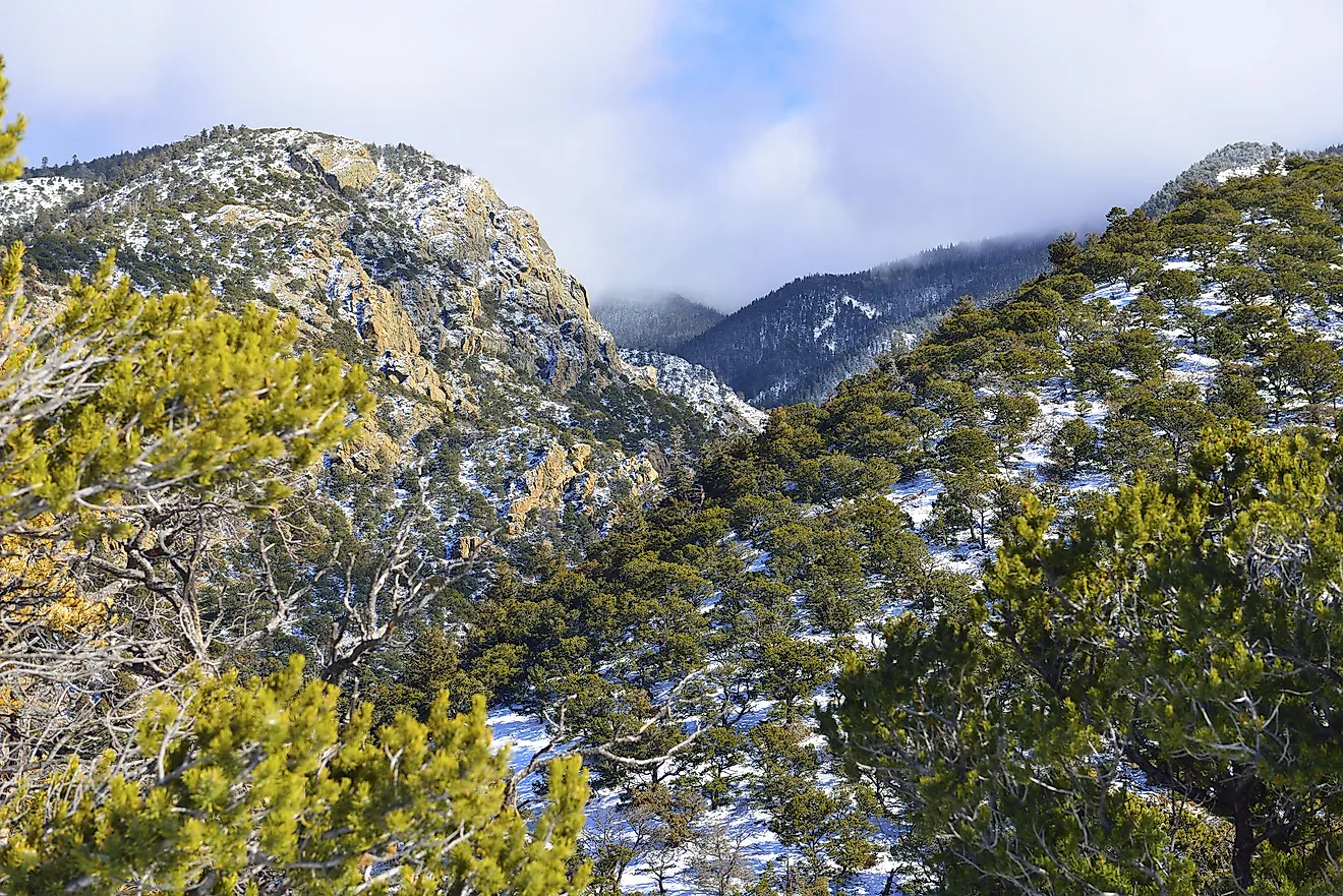
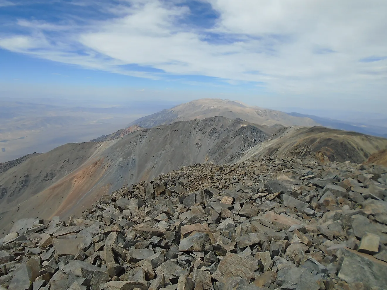
The various natural habitats of the Rocky Mountains can change quite drastically with elevation, latitude, and exposure to sunlight. Lower slopes tend to support grasslands, shrublands, and open woodlands, while cooler, higher elevations favor conifer forests. Above the treeline, alpine tundra starts to appear, containing low-lying plants adapted to strong winds, short growing seasons, and freezing temperatures. With that, colorful flower blooms often pop up in high meadows during the summer months, attempting to attract as many pollinators as possible in the short growing season.
Moreover, elk can be spotted grazing in meadows and forest openings, while bighorn sheep use steep, rocky slopes that offer quick escape routes from predators. In the tundra, pikas and marmots occupy rock piles, gathering vegetation to store for the colder months. Mountain goats inhabit rugged alpine terrain, too, although some populations in the Rockies were introduced outside their native ranges.
Local wildlife also varies geographically. Grizzly bears remain concentrated in the northern half of the Rocky Mountains, mainly Montana and Canada, while black bears occur more widely. Furthermore, seasonal movements of a plethora of flora and fauna here connect habitats as animals seek food and avoid the deep mountain snows closer to wintertime.
Best Places to Experience the Rocky Mountains

In Montana, Glacier National Park's Going-to-the-Sun Road crosses the Continental Divide at Logan Pass. Here, plenty of roadside viewpoints reveal glacial valleys, while trails lead into alpine meadows. Snow closes the road's higher sections for much of the year.
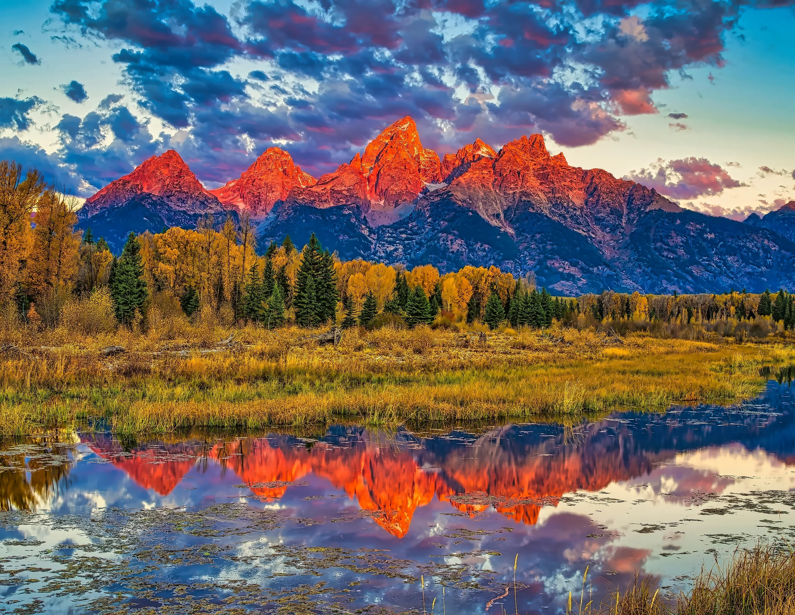
Further south just past Yellowstone, Grand Teton National Park in Wyoming places jagged summits above the broad Jackson Hole valley. Around Jenny Lake, hikers can follow trails toward Hidden Falls and Inspiration Point, combining lake views with a closer look at the mountains.
For a different, perhaps more underrated experience for those exploring the American Southwest, Colorado's San Juan Mountains offer numerous hikes and ski resorts around Ouray and Telluride, with former mining settlements scattered among high passes.
Banff National Park in Alberta shows the Canadian portion of the Rockies through glacial lakes and limestone peaks. Within it, Lake Louise has a shoreline trail beneath steep mountain walls, while Moraine Lake sits below the Valley of the Ten Peaks. Plan transportation ahead, as Moraine Lake Road is now permanently closed to personal vehicles.
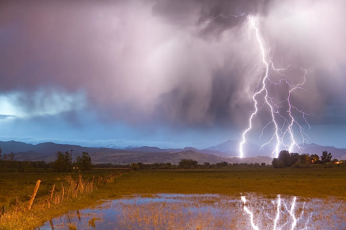
Wherever you go, allow time to adjust to the elevation, check trail and road conditions, and start exposed hikes early enough to descend before afternoon thunderstorms develop over the high country.
See the Importance of this Epic Range
The Rocky Mountains' sheer length means experiencing them requires carefully choosing a specific region or two rather than trying to cover the entire range in one trip. A visit to the San Juan Mountains differs considerably from time spent around Banff's glacial lakes or Grand Teton's granite peaks. But beyond those tourist-drawing destinations, the mountains influence water supplies and wildlife far outside park boundaries. Their importance extends beyond their height or length, shaping both the natural systems and the cities and towns across much of North America.