The Largest Ancient Cities Ever Built
Roughly a million people crowded into ancient Rome at its height. Chang'an held nearly as many along the eastern end of the Silk Road. Engineers in these cities built aqueducts and drainage systems to keep such numbers fed and watered. Planners laid out markets and civic districts on measured grids. The cities in this list rank among the largest the ancient world ever produced. No censuses survive for most of them. Historians and archaeologists estimate their populations instead from city walls and building foundations. Food supplies and burial sites fill out the picture. Each one shaped how people would build and organize cities for centuries after.
Rome

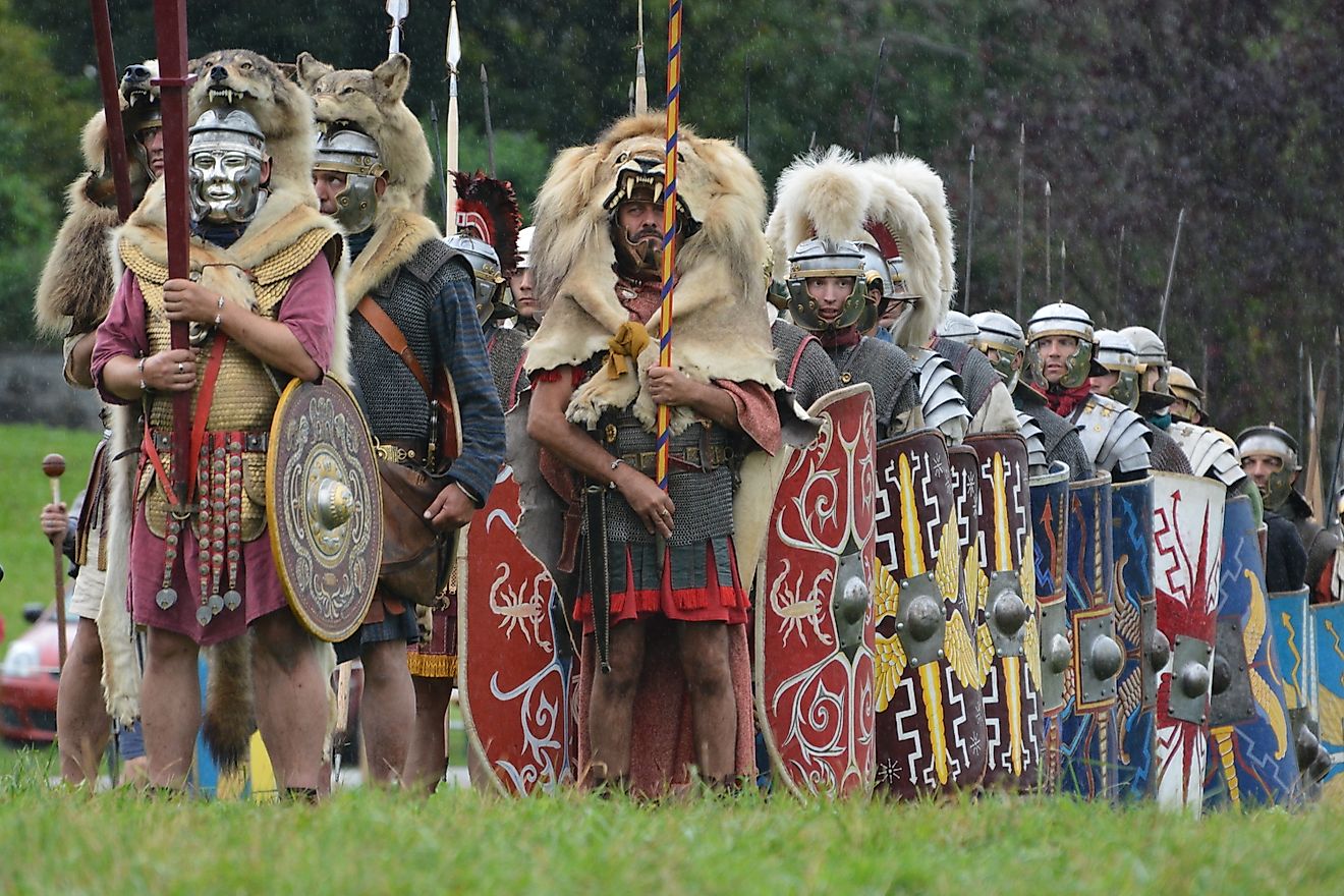
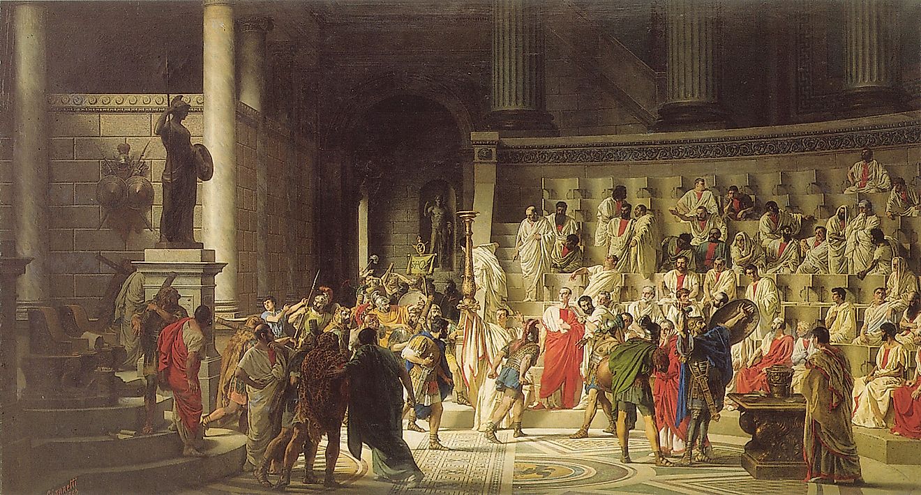
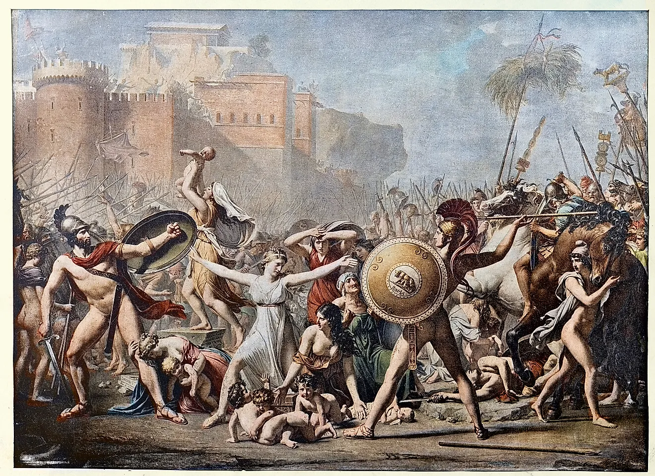
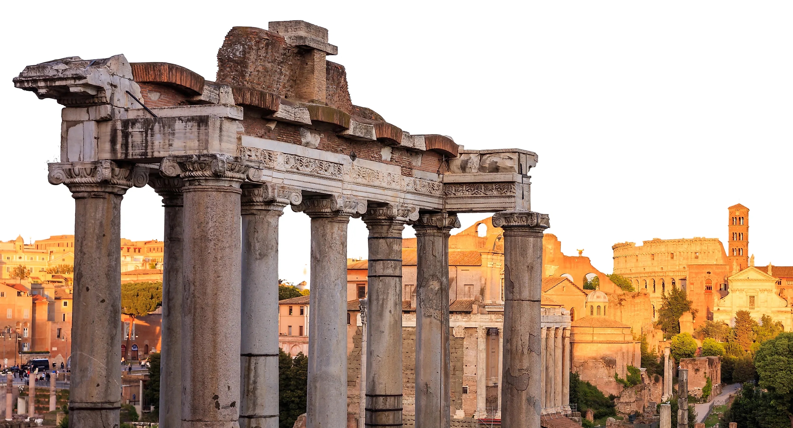
The city of Rome in the ancient world is divided into two distinct periods: the Roman Republic, from 500 BCE to 27 BCE, and the Roman Empire, from 27 BCE to 476 CE. The latter date for the empire is when the last Roman emperor was deposed in the Western part of the empire. At the same time, the Eastern Roman Empire, also known as the Byzantine Empire, continued until 1453, when the Ottoman Empire conquered it. At the heart of the Western Roman Empire was the city of Rome. Rome's beginning is part of legend, traditionally founded on April 21, 753 BCE by Romulus, the first king. Latin and Etruscan kings ruled the city from 753 to 509 BCE. During this period, the city's first temples, roads, and drainage systems were constructed, as was the Roman Forum, a center for commerce and political life. In 509 BCE, the last king, Lucius Tarquinius Superbus, was expelled with the founding of the Roman Republic. A republican form of democracy was established, with elected magistrates and a Senate.
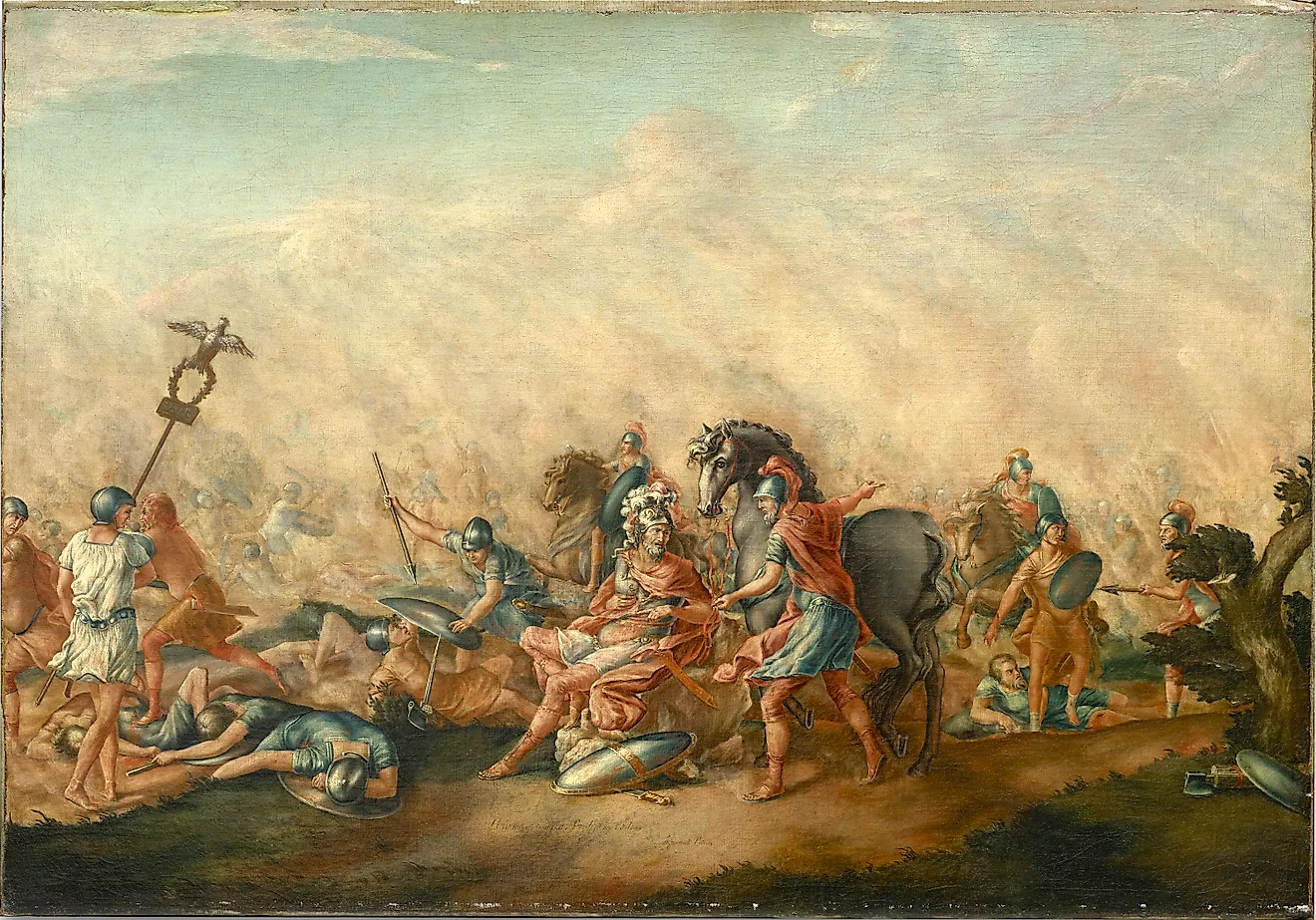
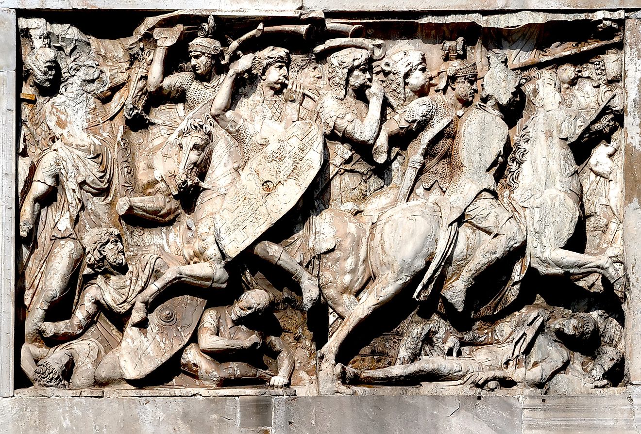
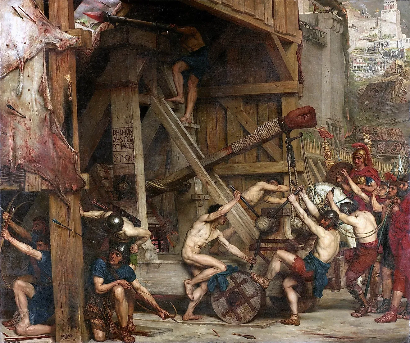
The Republic expanded beyond central Italy to most of the Italian Peninsula, then conquered Greece, North Africa, Spain, Gaul, and parts of what is now the Middle East. By the 1st century BCE, the population of the city of Rome was approximately 500,000 to 750,000. From the beginning of the Empire in 27 BCE to 180 CE, there was a period of expansion, stability, and prosperity known as Pax Romana. During this era, massive public works were constructed, reshaping the city with aqueducts, roads, public forums, baths, amphitheaters, and temples. Most historians estimate that Rome's population peaked around 1,000,000 during the early Roman Empire, making it the largest city in Europe. In 410 CE, the Visigoths sacked the city of Rome, the first time it had fallen to a foreign enemy in nearly 800 years. The Vandals sacked it again in 455 CE. In 476 CE, Germanic general Odoacer deposed the last Western Roman emperor, Romulus Augustulus, in what is traditionally seen as the end of the Western Roman Empire. The city continued as an important center of culture under the Ostrogoths.
Chang'an

Chang'an was the capital of the Han dynasty and several other important Chinese dynasties, including the Tang dynasty. Located under what is now the Chinese city of Xi'an, Chang'an was one of the largest, most important, and influential cities of the ancient world. At its peak from the 1st to 2nd centuries CE, during the Han dynasty, its population is estimated to have been 800,000 to 1,000,000, rivaling Rome in size. Chang'an was the center of political and cultural life of the Han Empire, also known as the Han Chinese Empire. The empire was in power from 206 BCE to 220 CE, though it was ruled by the Xin dynasty from 9 to 23 CE. At the empire's territorial peak under Emperor Wu, who reigned from 141 to 87 BCE, the Han Empire controlled most of what is now eastern and central China, northern Korea, and northern Vietnam, the Hexi Corridor leading into Central Asia, and territories in what is now Gansu, Xinjiang, Inner Mongolia, and Yunnan.
Chang'an, founded as the imperial capital, was a planned city with palaces, government offices, markets, and residential districts laid out on a grid. At its peak, it was the center of commercial, academic, religious, and political life. Through trade, especially as the eastern terminus of the Silk Road, Chang'an extended the influence of the Han Empire beyond its territories and west into Asia, including the Indian subcontinent. Its influence includes indirect contact with Rome via the Silk Road and trade networks on the Indian Ocean. The Roman and Han Empires were the two largest empires in Eurasia during the 1st and 2nd centuries CE. Although direct contact was extremely limited, they were aware of each other's existence through trade. Chang'an's urban planning served as a model for many other Asian capitals and large cities. Archaeological evidence confirms the size and layout of Chang'an, with palace foundations, city walls, tombs, and some civic structures discovered over the past several decades.
Luoyang

For many periods during the Han dynasty, Luoyang served as a second capital of the Han Empire, particularly during the Eastern Han (25 to 220 CE), when it was the capital of the Eastern Han Empire. At its peak during the 1st and 2nd centuries CE, the population of Luoyang was around 400,000 to 600,000. The city was vital as the eastern center of trade, culture, and urban planning. Luoyang is one of China's oldest continuously inhabited cities, unlike Chang'an, which was largely lost to history and is now under the modern Chinese city of Xian. Luoyang, in particular, is celebrated as a Buddhist religious center, with many surviving Buddhist monuments. The Longmen Grottoes are a UNESCO World Heritage Site containing tens of thousands of Buddhist statues carved into limestone cliffs, dating back to the 5th century CE.
Luoyang is also the site of what is considered the first Buddhist temple in China, the White Horse Temple (Baima Si), founded, according to tradition, in 68 CE during the reign of Emperor Ming of Han. With its location on the Luo River, Luoyang was near the eastern terminus of the Silk Road, helping shape its influence. With its continuity in Chinese history to the present day and archaeological evidence continuing to reveal the histories of many different epochs and dynasties, Luoyang remains a significant historical site for understanding the development of early Chinese civilization and of cities and urban planning in Asia.
Pataliputra

For several centuries from the 5th century BCE through the earliest part of the common era, Pataliputra served as the capital city of many Indian empires. In particular, it was the capital of the Mauryan Empire, from 322 BCE to 185 BCE. The Mauryan Empire was the first to unify most of the Indian subcontinent. At its peak, the empire stretched from what is now Afghanistan through northern and central India to Bengal and south to the Deccan Plateau. Pataliputra, at its peak in 300 BCE, had a population of 400,000 to 500,000, making it one of the largest ancient cities in the world. The city had a highly organized municipal administration, which allowed it to flourish and survive the rise and fall of several empires. It was located at what is now the contemporary Indian city of Patna. Located at the confluence of the Ganges, Son, and Gandak rivers, Pataliputra was strategically situated, making it an obvious center of governance and trade.
Under Ajatashatru, a powerful king of the Haryanka dynasty who reigned from approximately 492 to 460 BCE, Magadha expanded across much of northern India. That consolidation set the stage for the later empires centered on the region. Pataliputra became the administrative heart of the Mauryan Empire, founded around 322 BCE by Chandragupta Maurya, and served his successors as well. Archaeological evidence reveals advanced drainage systems, pillared halls, wooden palisades, and other civic structures. Greek diplomat, geographer, and historian Megasthenes (c. 350-290 BCE) was an ambassador to the court of the Mauryan emperor Chandragupta Maurya. He is one of the most important contemporary witnesses to the Mauryan Empire and Pataliputra. His account, known as the Indica, is one of the most important surviving descriptions of ancient India, particularly from a foreign observer. Megasthenes wrote about how exceptionally well planned and fortified Pataliputra was. Over time, Pataliputra's importance declined, but the site remained continually inhabited as it evolved into modern Patna. As the seat of one of the largest centralized empires, Pataliputra was an important center for commerce and the spread of Buddhism eastward.
Alexandria

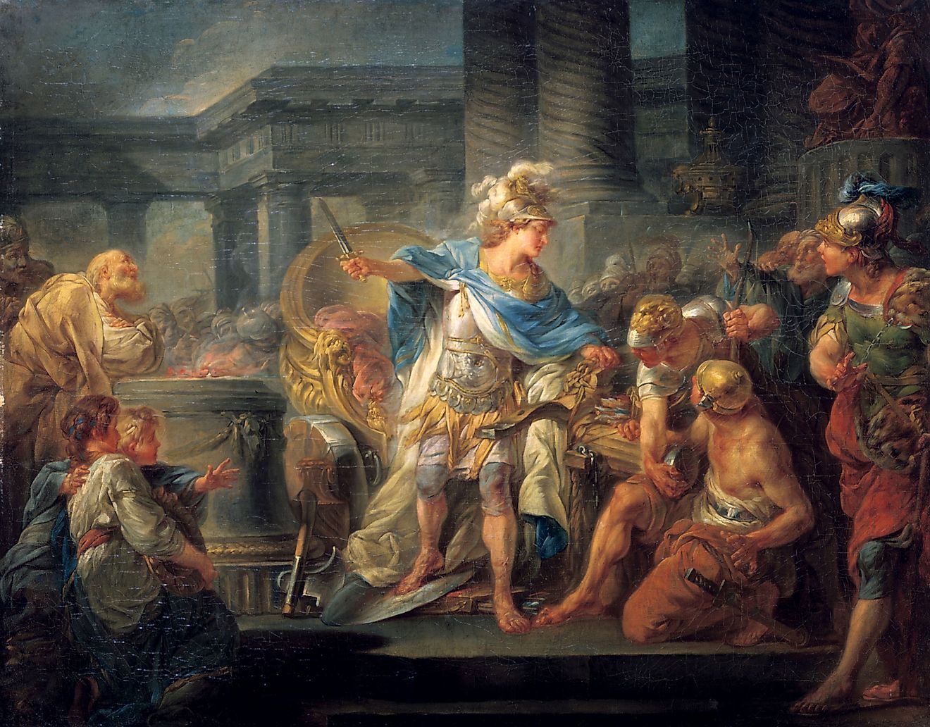
Alexandria remains a famous and storied ancient city. Founded in 331 BCE by Alexander the Great and located on the Mediterranean coast of northern Egypt, Alexandria was an important center of trade, scholarship, and culture. Continuously inhabited to this day, Alexandria remains a principal seaport for contemporary Egypt and an important economic and cultural hub. At its ancient peak in the 1st century BCE, Alexandria's population was approximately 300,000 to 500,000. Its ancient heyday was during the Ptolemaic Kingdom, from 305 BCE to 30 BCE. Famous for its lost Bibliotheca Alexandrina, or Library of Alexandria, and for the legendary Pharos lighthouse, Alexandria is still associated with the library and as a crucial center of the Greco-Roman world.
For centuries, Alexandria served as the capital of the Ptolemaic Kingdom and one of the largest cities in the ancient Mediterranean. It became renowned for its scholars, scientists, and philosophers, including Euclid and Eratosthenes. Its strategic position connected Africa, Asia, and Europe, helping shape commerce, science, and culture across the region. One of the largest ancient cities on the Mediterranean coast, it was renowned in its time for scholarly activity and as a gathering place for scientists and philosophers, particularly Euclid and Eratosthenes. Its ancient architecture blends Egyptian, Greek, and Roman styles, and unlike Cairo, Alexandria today is seen as part of the broader Mediterranean culture.
Teotihuacán

Teotihuacán was the largest city in the pre-Columbian Americas, and was one of the most important urban centers of ancient Mesoamerica. The city-state of Teotihuacán was not part of any empire and thrived between 200 and 500 CE. At its peak around 450 CE, Teotihuacán had a population of approximately 250,000 to 300,000. The larger region that is now Mexico was greatly influenced by architecture, trade, religion, and culture, and its impact continued long after the city itself fell into decline. The city was known for its sophisticated, precise grid layout and the massive Pyramids of the Sun and Moon. The city also contained large multi-family apartment compounds, not unlike those found in Rome at around the same period in the 1st to 3rd centuries CE. In addition to architectural and stylistic differences, Roman apartments, or insulae, were occupied by mixed-income tenants and could reach up to six stories in height.
Apartments in Teotihuacán were mostly one story, housed extended families, and were grouped by occupation. The apartment compounds in Teotihuacán were purpose-built for the majority of inhabitants, each covering 20,000-30,000 square feet. Multiple households surrounded one or more central courtyards, and units included living quarters, kitchens, workshops, storage rooms, shrines, and sophisticated drainage systems that helped manage water throughout the compounds. The apartments were often decorated with elaborate murals depicting gods, animals, and symbolic images. The city was organized along the Avenue of the Dead, a broad boulevard lined with plazas and pyramids. The city was multicultural, serving as a crossroads for many cultures in Mesoamerica. No specific rulers are known due to a lack of royal tombs or inscriptions. By the 6th century CE, much of the city center was burned down, and the city as a whole declined. The religious traditions and artistic styles of Mesoamerica influenced those of other cultures and empires, particularly the Maya and the Aztecs. The abandoned city was named by the Aztecs, who revered the ruins as "the place where the gods were created".
Ancient Metropolises
We think of cities today as being unique not only in population but also in infrastructure and amenities. In the ancient world, Rome's population exceeded one million, as did Chang'an. Many of these large ancient cities featured impressive drainage and sewage systems, large civic structures, sophisticated culture, and a cosmopolitan life. With advanced administrative infrastructure, these cities were able to sustain large populations in relative comfort, particularly when compared to European cities after the fall of Rome. Much of our understanding of urban design is a direct result of the work that went into the building and maintenance of these ancient cities.