The Geography Of Rome
5. Where Is Rome Located?
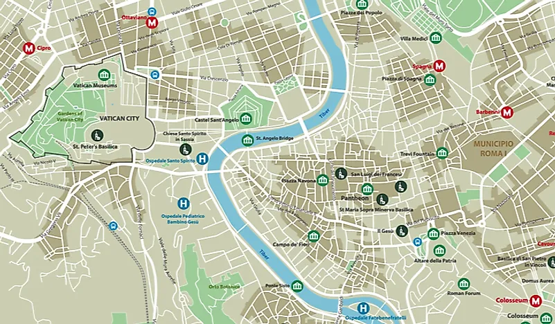
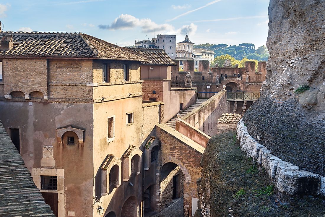
The historic city of Rome is located in the central-western part of the Italian Peninsula on the banks of the Tiber River in the Lazio region of Italy. The city is the capital of Italy and also its biggest and most populated metropolis hosting 2.9 million residents within an area of 1,285 square km. Vatican City, a country, is located within the boundaries of Rome making it the only example of a country within a city.
4. Climate Of Rome
Mediterranean climate prevails in Rome characterized by dry and hot summers, and humid, cold winters. During the warmest months of July and August, the average temperature during the day is 30 °C while at night, it is 18 °C. In the coldest winter month of January, the average day temperature is 12 °C, and that at night is 3 °C. Heavy snowfall is extremely rare, but light snowfall occurs almost every winter. However, snow accumulation on the ground is not known to happen frequently. The pleasant climate of Rome favors heavy tourist footfall in the city throughout the year.
3. The Tiber River Of Rome
The Tiber River is a historic river in Europe, famous for the city of Rome that is located on its banks. The Tiber River is the second longest river in the country after the River Po. The river traces its origin to the slope of Monte Fumaiolo from where it flows for 405 km in a generally southern direction and drains into the Tyrrhenian Sea near Ostia Antica. According to some ancient writers, the Tiber River was originally known as Albula but renamed Tiberis after a king of Alba Longa, King Tiberius, died by drowning in the river. The river has played a vital role in the birth and expansion of the city of Rome as will be explained in the below sections. Another river, the Aniene also crosses Rome. The river joins the Tiber north of the historic center of the city.
2. Geography Of Ancient Rome And Origin Of The Roman Civilization
Historians hold the view that Rome was founded on a group of seven hills located in the present-day Lazio region of Italy. These hills, named Aventine, Caelian, Capitoline, Esquiline, Palatine, Quirinal, and Viminal are located on the Tiber River's eastern bank, in the heart of the city of Rome. It is said that small village-like settlements grew up on the summits of these seven hills but in the beginning, these settlements were not organized or unified into a single entity. The city was possibly founded by Romulus on the Palatine Hill, and gradually, the residents of all the seven hills would come together to share common interests and solve common problems, giving shape to the ancient city of Rome. Thus the aggregation of these settlements paved the way for the transformation from a proto-urban stage to an urban situation. The increase in agricultural productivity and heightened trade activities possibly boosted the growth of the city.
1. How Did The Geography Of Rome Affect Its Expansion?
The geography of a place often plays a big role in influencing the growth of settlements in the place. This fact is no different for Rome where the geography of Rome affected its expansion in a major way. The elevated location of the city on the top of the seven hills provided a sense of protection to the residents and also protected the people against flooding. All great cities of the world have developed on the banks of major rivers, and so did Rome. The waters of the Tiber River satisfied the domestic water needs of the people of the region. Also, the river facilitated irrigation and navigation. It connected Rome to the Mediterranean Sea and thus provided an easy trade route between Rome and other parts of Europe and the world.


