Italian Peninsula
Italy is one of the few countries whose territories comprise islands, peninsulas, and continental parts. The continental part forms northern Italy, while the Italian Peninsula forms the country’s southern portion. Italy’s two major islands are Sardinia and Sicily, located in the Mediterranean Sea. The country covers about 301,230 square kilometers, of which the peninsula covers 131,275 square kilometers. The Italian Peninsula is a boot-shaped peninsula jutting from the Alps into the Mediterranean, Adriatic, and Tyrrhenian Sea. The peninsula played a significant role in shaping the country’s history, with several historical events taking place there, including the Renaissance and the emergence of the Roman Empire. Besides Italy, the peninsula also hosts Vatican City and San Marino.
Conents:
Where Is The Italian Peninsula?
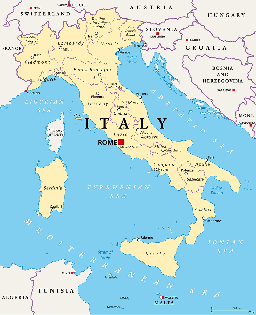
The Italian Peninsula, known variously as Apennine or Italic Peninsula, is one of the three largest peninsulas in Southern Europe (the others being Iberian and Balkan Peninsulas). It is an elongated and part of continental Italy that extends from the Alps into the central Mediterranean Sea. It stretches from the Po River on the north towards the sea. However, the Po Valley is part of continental Italy. The Italian Peninsula is bordered by the Iberian Peninsula on the west, east by the Balkan Peninsula, and Africa on the Southwest. The peninsula lies to the east of Corsica and Sardinia Islands and northeast of Sicily Island. It is surrounded by several seas, including the Adriatic Sea on the east, west by Ligurian and the Tyrrhenian Seas, and south by the Ionian Sea.
Geography

The Italian Peninsula extends 960 kilometers from the Po valley region, in the north, into the central Mediterranean Sea in the south. Although the peninsula has varied widths, it is 240 kilometers wide at the widest part. Three smaller peninsulas extend out of the main peninsula, contributing to the boot shape. The smallest of the three mini peninsulas extends into the Adriatic Sea, forming the “spur,” while further down into the Ionian Sea (near the Albanian border) is the second mini peninsula forming the “hill.” The third peninsula often referred to as the “toe,” is the location for the Calabria region. The Strait of Messina separates the Italian Peninsula from the island of Sicily. At 131,275 square kilometers, the Italian peninsula accounts for about 44% of Italy’s total land area.

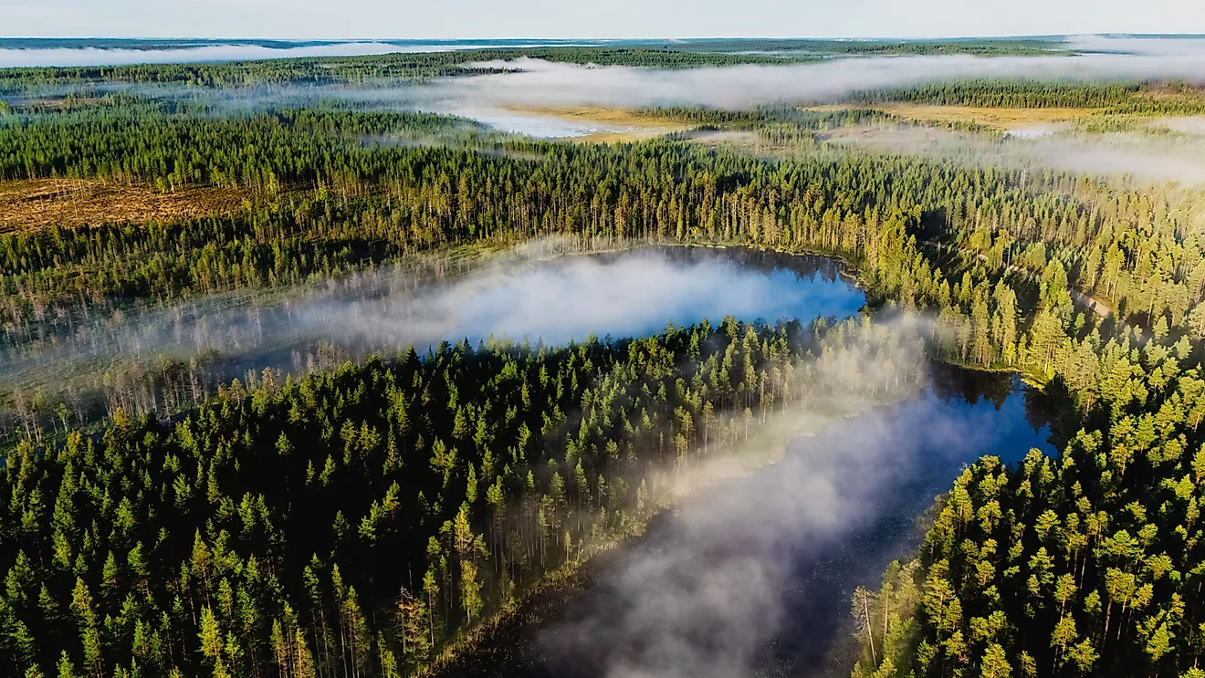
The Apennine Mountain chain is the main geographic feature on the Italian Peninsula. The mountain chain, covering most of the peninsula's length, lends its name to the peninsula, hence the name “Apennine Peninsula.”Corno Grande, located in Abruzzo, is the range's and peninsula’s highest peak. The Apennine Mountains are characterized by frequent volcanic activities, especially earthquakes. Lowlands are common in coastal areas.
The peninsula is drained by several rivers, including Volturno, Tevere, Arno, and Reno. Lake Trasimeno, located in Umbria Region, is the peninsula’s largest lake, with a surface area of 128 square kilometers. Other major lakes include Bolsena, Bracciano, and Lago di Vico.
Administration And Demography

The Italian Peninsula comprises three countries; Italy and the two microstates of the Vatican City and San Marino. However, the Italian Republic almost the entire peninsula, with San Marino covering only 0.44 square kilometers. San Marino covers about 61.2 square kilometers, just about 0.05% of the peninsula’s total area. The Vatican City is a city-state within Rome, while San Marino is located between Marche and Emilia Romagna region. Up to 11 of the 20 Italian regions are located on the peninsula. However, none of the eleven regions are autonomous.
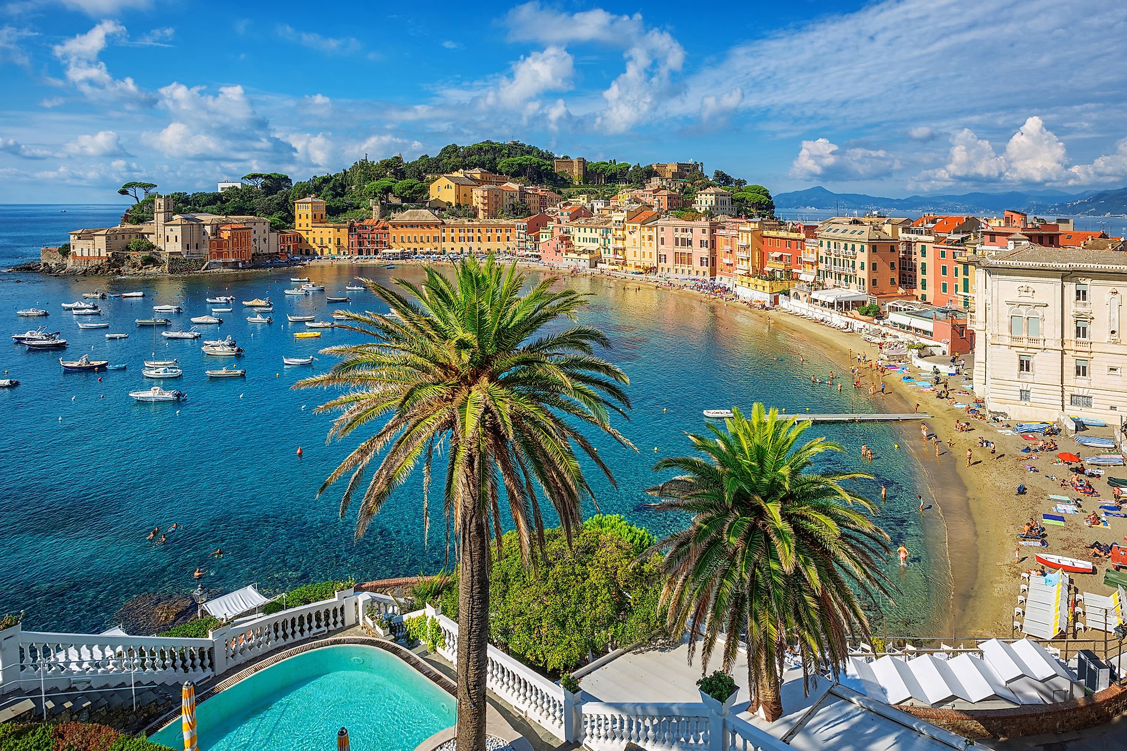
The Italian Peninsula is home to approximately 31 million people, including 32,000 people in San Marino and 830 in Vatican City. Lazio is the most populated region on the peninsula and Italy’s second-most populated region, with approximately 5.9 million residents. Rome, Lazio’s capital, is the peninsula and Italy’s most populated city, with about 2.9 million people.
Brief History
The Italian Peninsula has been inhabited by the Ancient Greeks, Phoenicians, Celts, and Etruscans since classical antiquity. The history of the Roman Kingdom began on the peninsula with the founding of the city of Rome around 753 BC around the Tiber River. According to a popular legend, the city was founded by Remus and his twin brother Romulus who descended from a Trojan hero called Aeneas. In 509 BC, the Roman Republic was established in Rome. The Peninsula, especially Rome, prospered under the various Roma emperors in areas such as architecture, literature, and arts. However, as the imperial power declined, the peninsula was characterized by frequent invasion, leading to political and economic collapse. In 330, Constantinople became the new capital, with the Western Roman Empire taking over the Peninsula.