The Difference Between A Tide And A Current
A tide is the vertical change in the height of water, while a current is the way water moves from one place to another horizontally. The two are closely connected, but currents can exist independently of tides. Tides describe changing water levels, mostly in oceans, while currents are the flow of water in oceans, rivers, streams, and lakes. Mixing up the two leads to some risky assumptions about how water behaves at the shoreline. Along Great Lakes beaches, rip currents can carry water away from shore even though the tide is barely noticeable. At Sunrise, a community in Alaska's Turnagain Arm, the average difference between high and low tide is 30.3 feet. Read on to discover more about the differences between tides and currents.
The Main Difference Between Tides And Currents

The key distinction is what each term measures. A tide is the recurring rise and fall of water level, while a current is water moving in a certain direction. Tides can generate currents as they ebb and flow, but many currents have other causes. At the Santa Monica Pier in California, a rising tide lifts the water higher on the pilings, while the current moves water past them. Water can rise as it flows inland, but its height and direction are distinct characteristics.
This explains why tide predictions and tidal current predictions serve different purposes. Tide predictions list expected water heights and high- and low-water times for the day. Current predictions forecast expected flow speeds, directions, and still periods. Knowing when high tide occurs does not necessarily tell someone when a nearby rip current is strong.
What Causes Tides?

Tides result from the gravitational effects of the moon and sun on Earth's oceans. Although the Sun is far more massive, the Moon is much closer to Earth and has a greater tide-producing influence. As Earth rotates and the positions of these bodies change, coastal water levels rise and fall in recurring patterns. That makes tides reliable and predictable well in advance.
The exact pattern and range of the tide depend on the coastal geography of a particular shoreline. Water depth, the shape of the coast, and the dimensions of the surrounding basin affect the movement of the tidal wave. As a result, places along the same coast can experience different tidal ranges or reach high water at different times. For example, Alaska's Cook Inlet can amplify tides. Its narrowing shape concentrates tidal water, contributing to large changes in water level. The mean tidal range reaches 30.3 feet at Sunrise in Turnagain Arm but only 26.2 feet at Anchorage in Knik Arm.
Why Tidal Patterns Change

Many coastlines experience two high tides and two low tides during a lunar day, which lasts about 24 hours and 50 minutes. It runs longer than a solar day because the moon advances along its orbit as Earth rotates. In this semidiurnal pattern, high tides arrive about 12 hours and 25 minutes apart, although local times vary. The east coast of Florida and the Savannah River entrance in Georgia follow it, while many Gulf Coast beaches have diurnal tides, with one high and one low tide per lunar day. Some Gulf Coast locations instead have mixed semidiurnal tides, and patterns can shift throughout the month.
Tidal ranges also change throughout the lunar month. Around new and full moons, the sun and moon produce spring tides with larger ranges. Near the first and third quarter moons, their effects partially offset each other, producing neap tides with smaller ranges. Despite their name, spring tides occur throughout the year and aren't directly connected to the spring season.
What Causes Ocean Currents?

Ocean currents have several causes, so they don't all follow a tidal schedule. Wind transfers energy to surface water, driving currents in oceans and lakes. Differences in temperature, salinity, and density also drive circulation, causing denser water to sink and less dense water to rise, a process called thermohaline circulation. Many major currents follow broad, persistent pathways, such as the Gulf Stream, which generally flows northward along the southeastern United States. Some river features are distinctive enough to earn names, including Crystal Rapid and Helicopter Eddy in the Grand Canyon.
Although currents usually flow horizontally, ocean circulation also includes upwelling, which brings deeper water toward the surface. Along the US West Coast, this process is an important part of the California Current ecosystem. Winds can push surface water offshore, allowing colder, nutrient-rich water to rise and replace it. These nutrients support biological productivity in coastal waters. Unlike tides, which produce periodic changes in sea level, upwelling moves water vertically through the ocean.
How Tides Create Tidal Currents

Tides create tidal currents when changing water levels cause water to flow through coastal waterways. As a bay fills, water generally flows inward from the sea. As it drains, water generally flows outward. The incoming flow is called a flood current, while the outgoing flow is called an ebb current. Between these phases, a reversing tidal current may experience slack water, or a period when there's little or no movement.
The shape of a waterway strongly affects the speed of the current. Where tidal water passes through narrow entrances or straits, the restricted passage can produce strong flows. Some waterways also have hydraulic tidal currents, which are driven by differences in water level between their ends. Massachusetts' Cape Cod Canal and New York's East River are examples. In these passages, currents are strongest when the difference in water height is greatest and slacken when the connected water levels are nearly equal.
Why High Tide Does Not Always Mean Slack Water

It's easy to assume that a current stops whenever the tide reaches its highest or lowest level, but that's not always the case. The timing of high tides and slack water depends on how the tidal wave travels through the surrounding waterways. In a standing-wave tidal pattern, slack water occurs near high and low tide, while the strongest currents occur between them. In a progressive-wave pattern, the strongest flood or ebb current can instead occur near high or low tide. Many coastal areas fall between these patterns, so the relationship changes from place to place.
Hydraulic currents also complicate timing because they respond to water-level differences between connected locations. High tide at one end of a passage does not automatically stop water flowing through it. This is why water-level predictions can't replace current predictions for a channel or inlet.
Why Rip Currents Are Not Tides

The phrase "rip tide" can make a beach current sound like part of the tidal cycle, but the correct term is rip current. These dangerous, concentrated flows carry water away from shore through the surf zone and can extend beyond the breaking-wave line. Tides can affect rip-current strength, but rip currents themselves can occur during any part of the tidal cycle and do not require an outgoing tide.
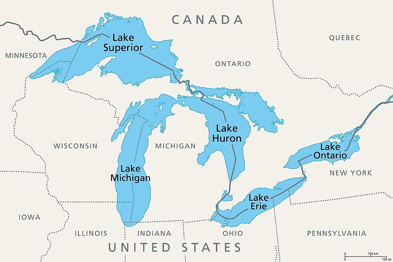
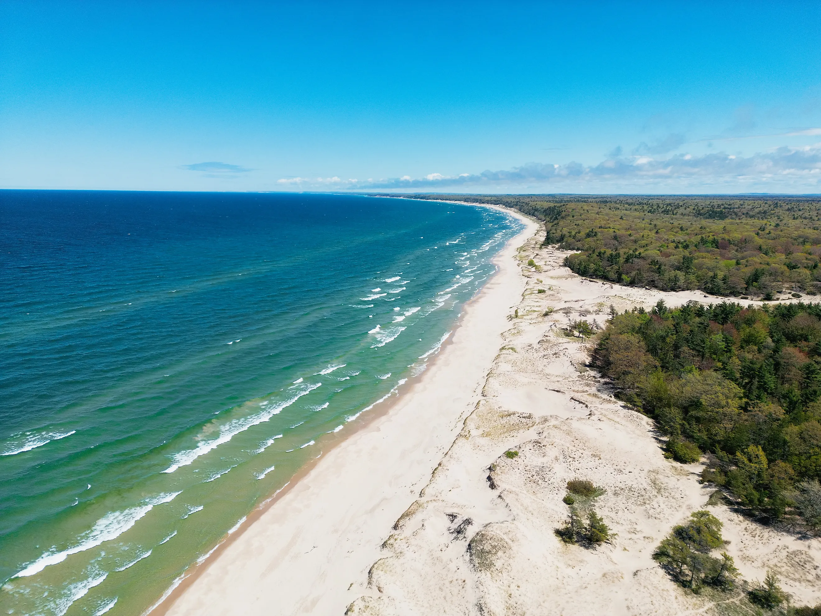
Great Lakes beaches are an example of this distinction. Rip currents occur there even though the lakes' astronomical tides are very small. The largest tides are less than two inches and are generally masked by changes in wind and atmospheric pressure. Even though the lakes are called inland seas, they are considered nontidal for practical purposes. They still have strong surf-zone currents, demonstrating that a small tidal range does not necessarily mean weak currents.
Tide And Current Predictions
Tide predictions provide the expected water levels throughout the day. Tidal current predictions provide expected flood and ebb speeds and slack-water times. These predictions have limits. Astronomical tide predictions aren't always exact because wind, atmospheric pressure, freshwater runoff, and other short-term conditions can cause water levels to differ from predicted values. Along the Chesapeake Bay, wind can cause water levels in Baltimore, Maryland, to deviate from predictions by 1 to 2 feet.
Despite these variables, water-level and current information can be useful for navigating on the water. Using both can give a clearer picture of coastal conditions than either measurement alone, especially where strong tidal flows pass through narrow waterways.