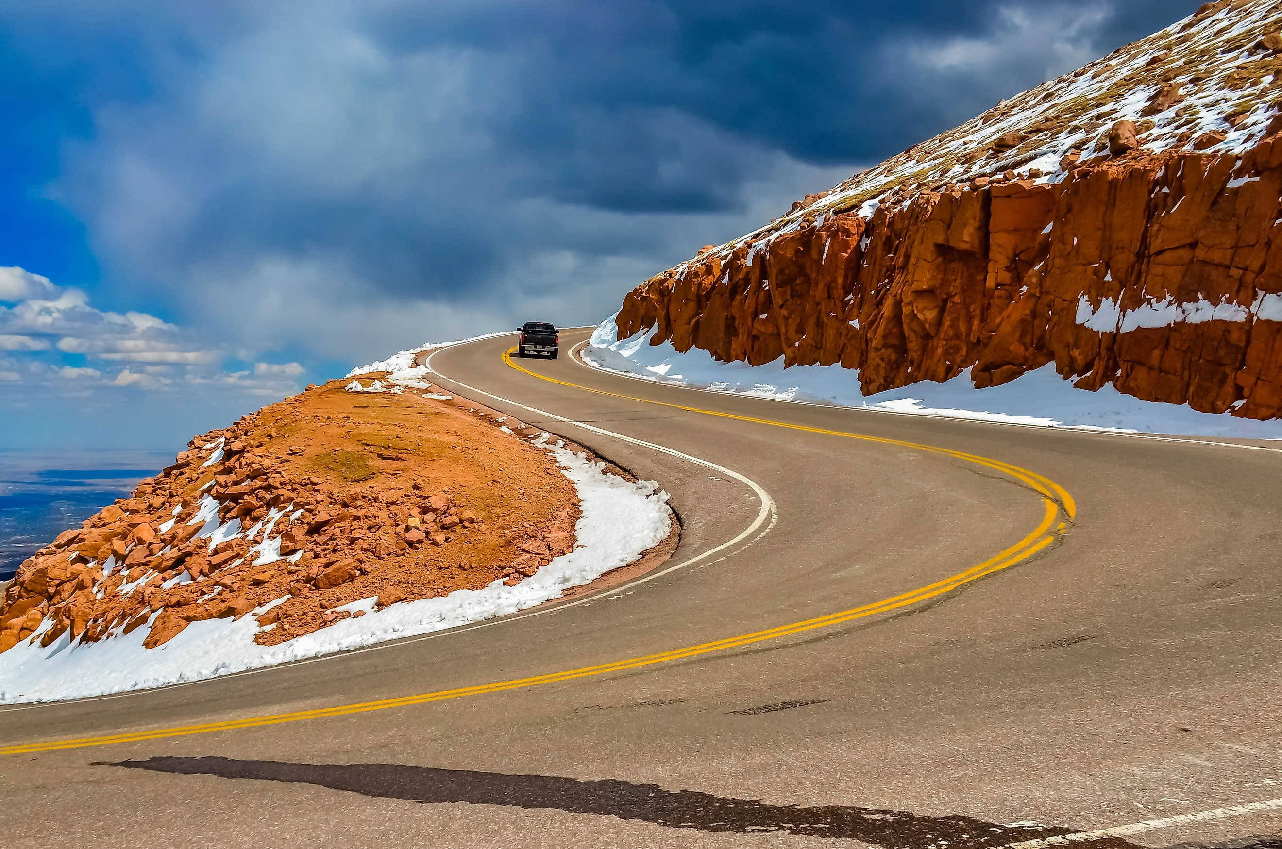
The American Mountains With Roads To The Summit
Picture parking your car at 14,115 feet. The engine ticks as it cools, the air is thin enough to notice, and the Great Plains lie flat below you like a map somebody forgot to fold. That is an ordinary afternoon on top of Pikes Peak in Colorado's Rocky Mountains. Six American summits, spread from the Rockies to the Appalachian and Adirondack ranges, have a paved road all the way to the top, including the highest paved road in North America. No blisters, no multi-day trek, no freeze-dried dinner eaten out of a bag. Just a toll booth, a long run of switchbacks, and a view most people only get to earn with their legs.
Pikes Peak, Colorado

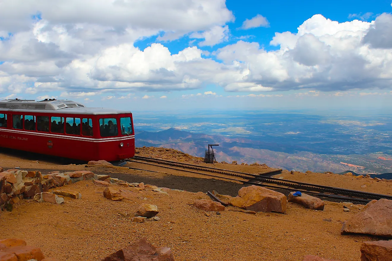
Katharine Lee Bates came down from Pikes Peak and wrote America the Beautiful. Hard to blame her. The Great Plains lie open to the east, the Rockies stand jumbled to the west, and the whole scene sits at 14,115 feet (4,302 meters). Botanist and geologist Edwin James got there first, on July 14, 1820, with two companions from Major Stephen Long's expedition, and that walk counts as the first recorded climb of a "14er" in North America. Sixty-eight years later a dirt carriage road reached the summit so somebody could cash in on mountain tourism. In 1915 Spencer Penrose rebuilt it for automobiles, turned it into a world-class tourist draw, and gave the Pikes Peak International Hill Climb a home while he was at it. If you prefer a less frantic ascent, the per-person toll runs roughly $10-18 depending on the season (with a flat carload rate available), or you can skip the driving entirely and ride the historic Pikes Peak Cog Railway up from Manitou Springs.
Mount Blue Sky (formerly Mount Evans), Colorado

Painters catch the same bug as poets. In 1863 landscape painter Albert Bierstadt went hunting for dramatic scenery and climbed the 14,265-foot (4,348 meters) summit of Mount Blue Sky, then called Mount Evans. He found jagged rocky tundra, glacial lakes far below, and mountain goats and bighorn sheep wandering around in every direction. Not a bad day at the office. Because the peak sits on the edge of Colorado's Front Range, you can see all the way to Denver on a clear day. The road went in between 1917 and 1927 as part of Denver's mountain parks plan, and the city had one very specific goal in mind, which was to claim the highest automobile road in North America and pull in every tourist who wanted to say they had driven it. You will need a paid reservation to drive it today. If you would rather walk, several hiking routes lead to the top, the best known being the West Ridge Trail from Summit Lake.
Mount Washington, New Hampshire

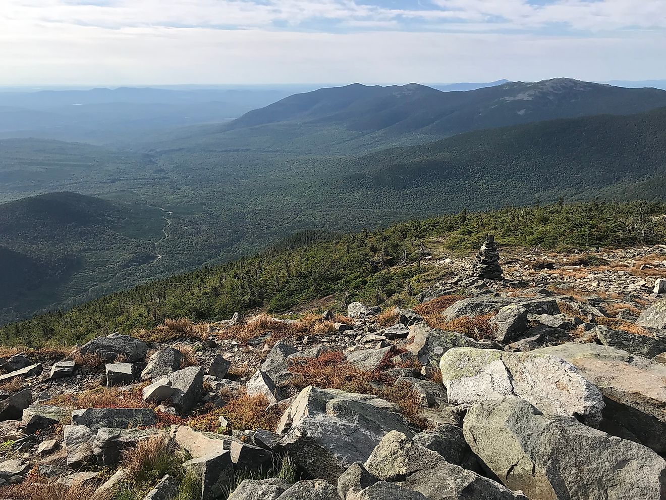
Hold on to your hat. Literally. New Hampshire's Mount Washington tops out at 6,288 feet (1,917 meters) and is famous for truly nasty weather, especially wind. On April 12, 1934, staff at the Mount Washington Observatory recorded a gust of 231 miles per hour (372 km/h), still the fastest surface wind ever measured by a staffed weather station and the strongest non-cyclonic wind on record in the Northern and Western Hemispheres. English colonist Darby Field made the first recorded climb in June 1642 with two Native American guides, reportedly to prove to local tribes that Europeans had no fear of the gods said to live on the summit. Bold move. The road opened in 1861 as the Mount Washington Carriage Road, built purely for profit by a private company that wanted to haul tourists up to the summit hotels. It is still privately owned, and the toll is steep in more ways than one. Expect to pay about $45 for a car and driver, plus extra per passenger. On a clear day the payoff is a view across five states and out to the Atlantic Ocean.
Mount Mitchell, North Carolina

Mount Mitchell has a bittersweet backstory. Professor Elisha Mitchell first measured the mountain in 1835 and later came within a dozen feet of its true height of 6,684 feet (2,037 meters). In 1857 he fell to his death during a hike on the very mountain that was later named for him. Long before that, French botanist André Michaux is believed to have been the first European to reach the top, in 1789, while collecting plant specimens. He would have been the first outsider to look out over the rolling blue ridges of the Black Mountains and their thick blanket of Southern Appalachian spruce and fir. This is the highest point east of the Mississippi, so the views go on forever on the days without fog, and those days are rarer than you would hope. Logging roads were cut to the summit in the early 1900s, and the resulting mess upset enough people that the state turned the mountain into a park in 1915. The current road was built later to tie the park directly to the brand-new Blue Ridge Parkway. Best part? Entry to Mount Mitchell State Park and the drive to the top are free.
Whiteface Mountain, New York

The road up Whiteface Mountain was a jobs program before it was a tourist attraction. Built between 1929 and 1935 to put Depression-era construction crews to work, it was championed by then New York Governor Franklin D. Roosevelt, who came back as President to dedicate it in 1935 as a memorial to the veterans of World War One. Today there is a vehicle and passenger toll for the final five miles of the Memorial Highway, and on a clear day the reward at the 4,867-foot (1,483 meters) summit is enormous. You can pick out Mount Marcy, Lake Placid, the Wilmington Notch, and even the Canadian border across Lake Champlain. A surveyor named John Richards made the first recorded ascent in 1814, long before anyone thought to strap on skis up here, which people now do all winter. Prefer to walk? Take the short, steep Stairway Ridge Trail from the Castle parking lot, or ride the Cloudsplitter Gondola from the ski area's base lodge to the top of neighboring Little Whiteface.
Brasstown Bald, Georgia

The first road up Brasstown Bald was never meant for tourists. Convict crews built the Wagon Train Road in the 1950s so that local mountain families could drive up, pitch a tent, and catch up with the neighbors. The paved Spur Road followed in the 1960s and 1970s, courtesy of the US Forest Service, along with a visitor center and a fire lookout tower. From Georgia's highest point you get a full 360-degree sweep of the Blue Ridge Mountains, and on a clear day you can see four states at once. Those are Georgia, North Carolina, South Carolina, and Tennessee. The Forest Service collects a modest per-person recreation and parking fee at the gate, and that covers a shuttle ride up to the observation deck and tower if your legs object to the last stretch. Nobody knows who first climbed Brasstown Bald. The Cherokee were using the mountain long before European settlers showed up. If you want to reach the 4,784-foot (1,458 meters) summit under your own power, try Jack's Knob Trail or the old Wagon Train Trail.
Six summits, six experiences
Car tourism paid for some of these roads. The Great Depression paid for others, in the form of public works jobs, and a few went in so that scientists could reach their instruments without a two-day slog. Whatever the motive, the result is the same. Anyone with a driver's license and a working set of brakes can stand on a summit, count the states on the horizon, and feel very small in the best possible way. The two highest, Mount Blue Sky and Pikes Peak, are also quietly impressive pieces of early American engineering. Bring a jacket. It is cold up there.