What Happens To The Central Valley If The Sierra Snowpack Fails
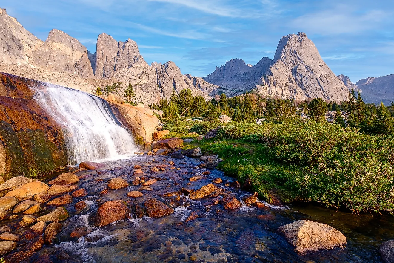
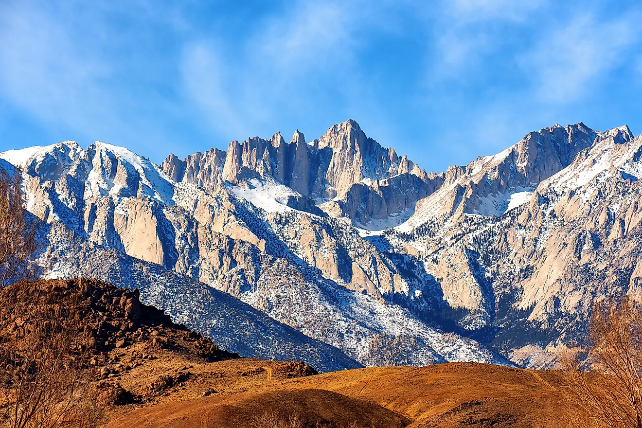
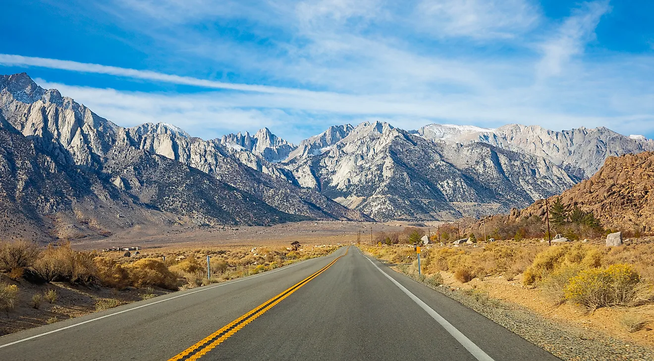
On April 1, 2026, California's snow surveyors arrived at Phillips Station, 6,800 feet up in the Sierra Nevada, with very little measuring to do. There was no snow. Across the range, the snowpack held just 18% of its usual water for that date, a worrying start for farms counting on summer meltwater.
Much of that water helps supply the Central Valley, which grows about a quarter of America's food. In an average year, melting Sierra snow provides about 30 percent of California's water. Fortunately, the state entered 2026 with water still in its reservoirs after three years without drought. Those reserves gave farms and towns some breathing room.
California had less to work with in 2015, when the snowpack measured just 5 percent of average and reservoirs were below normal too. The years that followed showed how far a snow shortage could reach beyond the mountains, affecting everything from rice planting to the water coming out of a kitchen tap.
Summer Water Would Arrive In Winter

A full reservoir sounds like good news during a snow shortage. At New Bullards Bar Reservoir on the Yuba River, the timing made things complicated. During the record-hot March of 2026, storage stood at 114 percent of average for the date. Yet Yuba Water, which operates the reservoir, had to keep a set amount of space empty until June to absorb floods. Once storage reached that limit, the agency could not keep additional snowmelt. The flood rule was likely costing it tens of thousands of acre-feet of water.
Snow usually saves water managers some of this juggling. It holds winter precipitation in the mountains and releases it gradually as temperatures rise, earning the California Department of Water Resources' description of a “frozen reservoir.” Warm storms deliver rain instead. Dan McEvoy of the Desert Research Institute describes the result as “runoff coming out of the mountains in the middle of winter,” when reservoirs still need room for possible floods. Warmer temperatures also melt the remaining snow faster, leaving less to arrive during the months when farms need it most.
Some Farms Would Get No Canal Water

For farmers served by California's major water projects, the year's allocation helps determine what they can plant. In December 2021, State Water Project contractors were told to expect nothing for 2022, the earliest the state had ever announced a zero allocation. The final allocation reached just 5 percent in both 2021 and 2022.
Some customers of the federal Central Valley Project received even less. In May 2021, the project cut agricultural water service contractors north and south of the Sacramento-San Joaquin Delta from 5 percent to zero. Those contractors received zero again in 2022. The same category of contractors south of the Delta had also been allocated nothing in 2014.
Reservoir reserves helped in 2026. With statewide storage above average, the Bureau of Reclamation allocated 28 percent of contract totals to irrigation contractors south of the Delta. The State Water Project reached 45 percent, still below its 30-year average of 60 percent. Having water stored away made a substantial difference, even if it did not cover every request.
Hundreds Of Thousands Of Acres Would Go Unplanted

Along Interstate 5 on the west side of the Sacramento Valley, the missing rice crop was easy to spot in 2022. Fields that would normally have been planted stayed idle. UC Cooperative Extension reported that the decline in rice planting was greatest along that corridor. Statewide, rice acreage fell to a little over 250,000 acres, about half the usual area and the lowest total since 1958.
Other crops lost ground too. In the western Sacramento Valley, mainly Colusa and Glenn counties, local suppliers expected about 370,000 acres of cropland to go unplanted after water deliveries to Sacramento River settlement contractors were cut.
The statewide losses had been larger in 2015. UC Davis researchers counted 542,000 irrigated acres left idle, 114,000 more than in 2014. They estimated the drought's total cost to California at as much as $2.74 billion, including about 10,100 direct seasonal farm jobs and potentially 21,000 jobs statewide. An unplanted field meant less work well beyond the farm itself.
Farms Would Pump More Groundwater

Many farms have another option when canal deliveries shrink: turn on the wells. In 2015, growers replaced almost 70 percent of their lost surface water by pumping an extra 6 million acre-feet from underground. That kept more land in production, but it drew heavily on aquifers that were already losing water.
By the Public Policy Institute of California's 2020 count, pumping from aquifers beneath the San Joaquin Valley exceeded natural recharge by about 1.8 million acre-feet a year. California depends heavily on that underground supply. In dry years, groundwater can provide 60 percent or more of the state's water. According to the US Geological Survey, Central Valley wells also meet about 20 percent of the nation's groundwater demand.
The Valley Floor Would Sink

Around Corcoran, a farming town in Kings County, heavy pumping changed the elevation of the ground. NASA radar measurements found that land near the town sank 13 inches between May 2014 and January 2015. Some parts of the San Joaquin Valley were dropping nearly 2 inches a month. In water year 2021, the fastest-sinking areas fell about 1.1 feet, and more land joined the zone sinking over half a foot a year.
Water infrastructure moved with it. Land beneath the California Aqueduct dropped as much as 12.5 inches, including 8 inches in just four months of 2014. On the valley's east side, sinking ground damaged 33 miles of the Friant-Kern Canal. State and federal agencies and the Friant Water Authority broke ground in January 2022 on a $187 million project, the first step toward restoring that stretch. Pumping helped farms get through the shortage, then left water agencies with expensive repairs.
Shallow Household Wells Would Fail First

In East Porterville, beside the city of Porterville in Tulare County, household wells began failing in late spring 2014. By September, about 290 families reported having no well water. Shallow domestic wells are especially vulnerable when groundwater levels fall, and residents came to rely on temporary tanks and bottled water for drinking and cooking.
A more dependable supply eventually arrived through a connection to Porterville's city water system. Construction began in early 2016, when providing tanks and bottled water was costing more than $650,000 a month. By January 2018, the $48 million project had connected 755 homes.
Elsewhere, wells continued to fail during later drought years. Nearly 1,400 household wells were reported dry across California in 2022, the highest annual count since tracking began in 2013. Through November, 1,017 reports came from the San Joaquin Valley. The Tulare County communities of Tooleville and East Orosi both went dry that July. In East Orosi, a house burned while the hydrants had no water.
Meanwhile, growers were drilling deeper irrigation wells. As Ari Neumann of the Rural Community Assistance Corp. put it, “Whoever has the deepest well gets the water.”
Salmon Would Lose Their Cold Water Supply

For Sacramento River winter-run Chinook salmon, the temperature of the water matters as much as its availability. Below Shasta Dam, the fish depend on cold water released from deep in Shasta Lake. A temperature control device allows operators to draw water from different depths, helping keep the river cool.
That system needs enough cold water in storage to last through the season. In both 2014 and 2015, the cold-water pool ran out, and river temperatures rose above the 56-degree goal. The California Department of Fish and Wildlife estimates that about 95 percent of the river's juvenile winter-run Chinook were lost in each year.
The larger fall run also struggled, dropping to fewer than 70,000 returning fish in 2022. The following year, the Pacific Fishery Management Council closed commercial and most recreational Chinook fishing off California and most of Oregon. Its chair cited “the poor conditions in the freshwater environment” behind the low forecast.
There was better news after California's commercial season remained closed through 2025. About 165,000 fall-run Chinook returned to spawn that year, exceeding the management goal of 122,000. Commercial boats headed back out in spring 2026 for the first time in three years.
Ducks And Geese Would Find Fewer Flooded Fields

Sacramento Valley rice fields keep feeding visitors long after harvest. Migrating birds wintering at the valley's refuges normally get about two-thirds of their calories from those fields. For ducks and geese traveling the Pacific Flyway, a poor rice year can mean much less food at an important stop.
Bird counts at one refuge fell to 745,000 in November 2021, more than 700,000 fewer than in November 2019. The following year, the Sacramento National Wildlife Refuge Complex received a 55 percent cut in its water allocation, leaving enough to supply about half its wetland units. Birds crowded onto the remaining water, and the US Fish and Wildlife Service monitored for outbreaks of avian botulism and avian influenza.
Salt Water Would Push Farther Into The Delta

Freshwater flowing through the Sacramento-San Joaquin Delta does another useful job before reaching the sea: it helps hold back salt water. Tides push salty water inland from San Francisco Bay, while river flows push it back. When those flows weaken, salt water can reach farther into the Delta and threaten water supplies.
In 2015, and again in 2021, the California Department of Water Resources built an emergency salinity barrier across West False River. The 2021 barrier was completed in late June to limit the tidal movement of salt water into the central Delta. It also reduced the need to release large volumes of freshwater simply to keep salinity in check.
There Would Be Less Groundwater To Fall Back On
California's reservoir reserves helped it manage the poor snowpack of 2026. Future shortages will arrive as the state also works to reduce groundwater pumping. Under the Sustainable Groundwater Management Act, the Public Policy Institute of California estimates that at least 500,000 irrigated acres in the San Joaquin Valley will need to leave production by 2040 to end the long-running imbalance between pumping and replenishment.
Some growers are already adjusting. In the eastern Turlock Subbasin, about 10,000 acres left production over the past year, and pumping is capped at 1.6 acre-feet per acre. An almond orchard typically uses 3 to 4 acre-feet per acre, leaving a substantial gap to cover with other supplies.
Meanwhile, DWR projects that the Sierra snowpack will lose 48 to 65 percent of its historical April 1 average by the end of the century. A 2021 study in Nature Reviews Earth and Environment projected that low-to-no-snow winters would become regular across the western United States within 35 to 60 years under high emissions.
California has already shown that stored water can help it through a very lean snow year. The harder task is preparing for those years to arrive more often, with less groundwater available to make up the difference. For the Central Valley, how much water stays on the mountains until spring will remain a very practical concern every planting season.