The Most Dangerous Currents On The Great Lakes
The Great Lakes may look calm from the shoreline of popular beaches, but beneath the surface, they generate some of the most powerful and unpredictable currents of any freshwater system in the world. Ocean rip currents form in fairly predictable patterns along sandy coastlines. Great Lakes currents often form without those surface cues, which makes them exceptionally dangerous. Sudden wind shifts, steep drop-offs, and artificial structures such as piers and breakwaters shape them, and currents can turn deadly in a matter of seconds, even on a sunny day.
Superior, Michigan, Huron, Erie, and Ontario all see swimmers swept away every summer. The Great Lakes Surf Rescue Project (GLSRP), which tracks drownings across the five lakes, counted 1,473 since 2010 in its late-August 2026 update. That makes current safety a real public health issue for the tens of millions of people who visit these shores each year. Organized by lake, the sections below cover the most dangerous types of Great Lakes currents and the shoreline spots where swimmers should watch conditions most closely.
Lake Michigan: Structural Currents Near Piers And Breakwalls

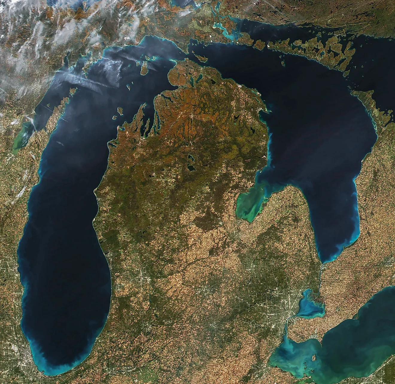
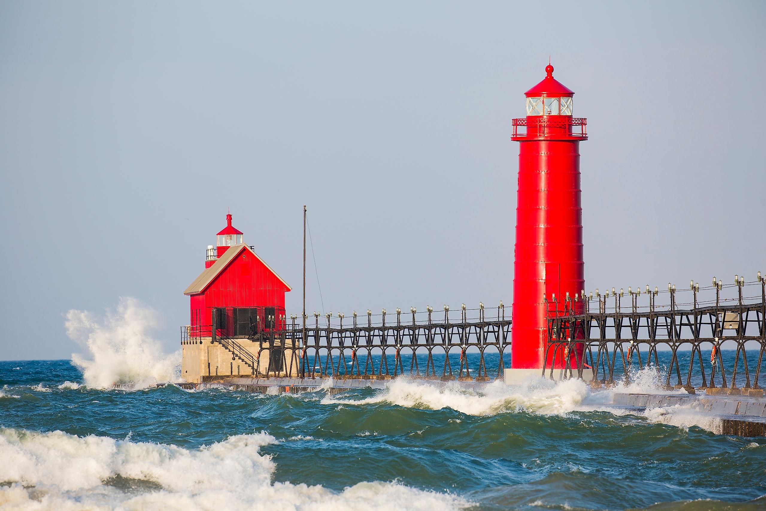
Lake Michigan consistently records more drownings than any other Great Lake, and Michigan's beaches account for a large share of that toll. Of the 58 Great Lakes drownings recorded by GLSRP through late August of 2026, 31 happened in Lake Michigan alone, continuing a pattern in which the lake has represented a disproportionate share of Great Lakes drowning deaths tracked in recent years. The most notorious hazard here is the structural current, which forms when waves are deflected and compressed around piers, breakwaters, and jetties. According to Michigan Sea Grant, structural currents are present at these structures nearly all the time. When they combine with rip or longshore currents, the result is a "washing machine effect" that moves a swimmer from one dangerous current into the next with no clear path back to shore.
The south pier at Grand Haven, beside Grand Haven State Park on the state's western shoreline, illustrates the risk starkly. The city's Department of Public Safety has counted 25 people caught in water accidents off and around the South Pier since 1993. Six of them drowned. The department responded by attaching life rings at 100-foot (30-meter) intervals along the pier, then wiring each one to an alarm that reports directly to county dispatch alongside a camera feed.
Lake Erie: Rip Currents Along A Shallow, Wind-Whipped Shoreline

Lake Erie is the shallowest of the Great Lakes, with an average depth of just 62 feet (19 meters), which makes it especially prone to fast-building waves and rip currents whenever winds pick up. The National Weather Service in Cleveland rates the daily rip current risk as low, moderate, or high along the Ohio and northwestern Pennsylvania lakeshore. Its nearshore zones reach east as far as Ripley, New York. High-risk days are treated as life-threatening for anyone entering the surf.
Presque Isle State Park, a sandy peninsula jutting into the lake near Erie, Pennsylvania, is one of the shoreline's most visited swimming spots. It is also one of its most closely monitored for rip current danger, given how exposed its beaches are to open-lake wind and wave action. GLSRP recorded nine drownings on Lake Erie through late August of 2026, the third-highest total of any Great Lake that season. Because Erie's currents can shift quickly with wind direction, officials recommend checking the daily NWS beach forecast before swimming rather than relying on how calm the water looks on arrival.
Lake Huron: Outlet Currents Where Rivers Meet The Lake

Lake Huron's most distinctive hazard is the outlet current, which forms where a river or stream empties into the lake. Michigan Sea Grant notes that the flow out of a river or stream can move quickly and may take a while to dissipate once it reaches open water. River mouths also draw swimmers because the water there often feels warmer than the lake water, and the outflow can combine with nearby longshore or structural currents to carry them into deeper water.
The mouth of the Au Sable River at Oscoda, on Huron's Michigan shoreline, is a well-documented example of this hazard. Here, the river's current meets the lake's wave action in a spot popular with anglers and swimmers alike. Farther south along the same shoreline, Tawas Point State Park occupies a sand spit referred to as the "Cape Cod of the Midwest." The point separates the sheltered, shallow water of Tawas Bay from open Lake Huron, and conditions on either side can differ sharply. GLSRP recorded six drownings on Lake Huron through late August of 2026. Even so, Sea Grant researchers caution that outlet currents are frequently underreported as a cause because they are less familiar to swimmers than ocean-style rip currents.
Lake Ontario: Longshore Currents Along Sweeping Sand Beaches

Lake Ontario, the smallest of the Great Lakes by surface area, funnels wind and wave energy along its long, sandy southern shoreline in New York, producing longshore currents that run parallel to the beach rather than straight out to sea. Michigan Sea Grant describes these currents as forcing swimmers to drift sideways along the shore, potentially toward piers or other structures where the danger compounds.
Hamlin Beach State Park, west of Rochester along Lake Ontario's southern shore, is one of the region's most popular swimming destinations. The park sits along a stretch of coast that the National Weather Service actively monitors for hazardous swimming conditions during the summer season. GLSRP recorded 10 drownings on Lake Ontario through late August of 2026, underscoring that even the smallest Great Lake can whip up serious currents. Because longshore currents can carry swimmers well beyond their original entry point, water safety officials recommend keeping a fixed landmark on shore in view at all times.
Lake Superior: Cold-Water Currents Along An Exposed, Rocky Coast

Lake Superior is the largest, deepest, and coldest of the Great Lakes, with surface temperatures that can stay in the 40s and 50s Fahrenheit (roughly 5 to 15 degrees Celsius) even in mid-summer. That cold water adds a second layer of danger to the lake's currents. Even a strong swimmer caught in a rip or structural current can lose muscle control within minutes of prolonged exposure, a risk far less pronounced on the comparatively warmer lakes to the south.
Whitefish Point, on the lake's eastern Upper Peninsula shoreline, sits at a narrow, current-swept passage long known to mariners as the "Graveyard of the Great Lakes" for the number of shipwrecks nearby. The nickname reflects the same unpredictable wave and current action that makes swimming there hazardous. Marquette-area officials and university police departments issue regular advisories reminding beachgoers that Lake Superior can turn from flat calm into dangerous chop inside an hour. GLSRP recorded two drownings on Lake Superior through late August of 2026, the fewest of the five lakes. That figure reflects colder water and lighter beach traffic rather than any lack of hazardous currents.
Staying Safe On The Great Lakes
Water safety officials across the region repeat the same short list for currents. Check the local beach hazard forecast, swim near a staffed lifeguard station, and treat piers, breakwalls, and river mouths as places to look at rather than swim beside. Anyone caught in a current is told to flip onto the back, float to conserve energy, and then follow the safest path out sideways rather than fight straight back toward shore. The currents that make the Great Lakes dangerous are the same forces that shaped the sandbars, spits, and beaches along them. They are a permanent feature of these shorelines, and a calm surface is not evidence that they have gone quiet.