What Lies At The Bottom Of Lake Powell
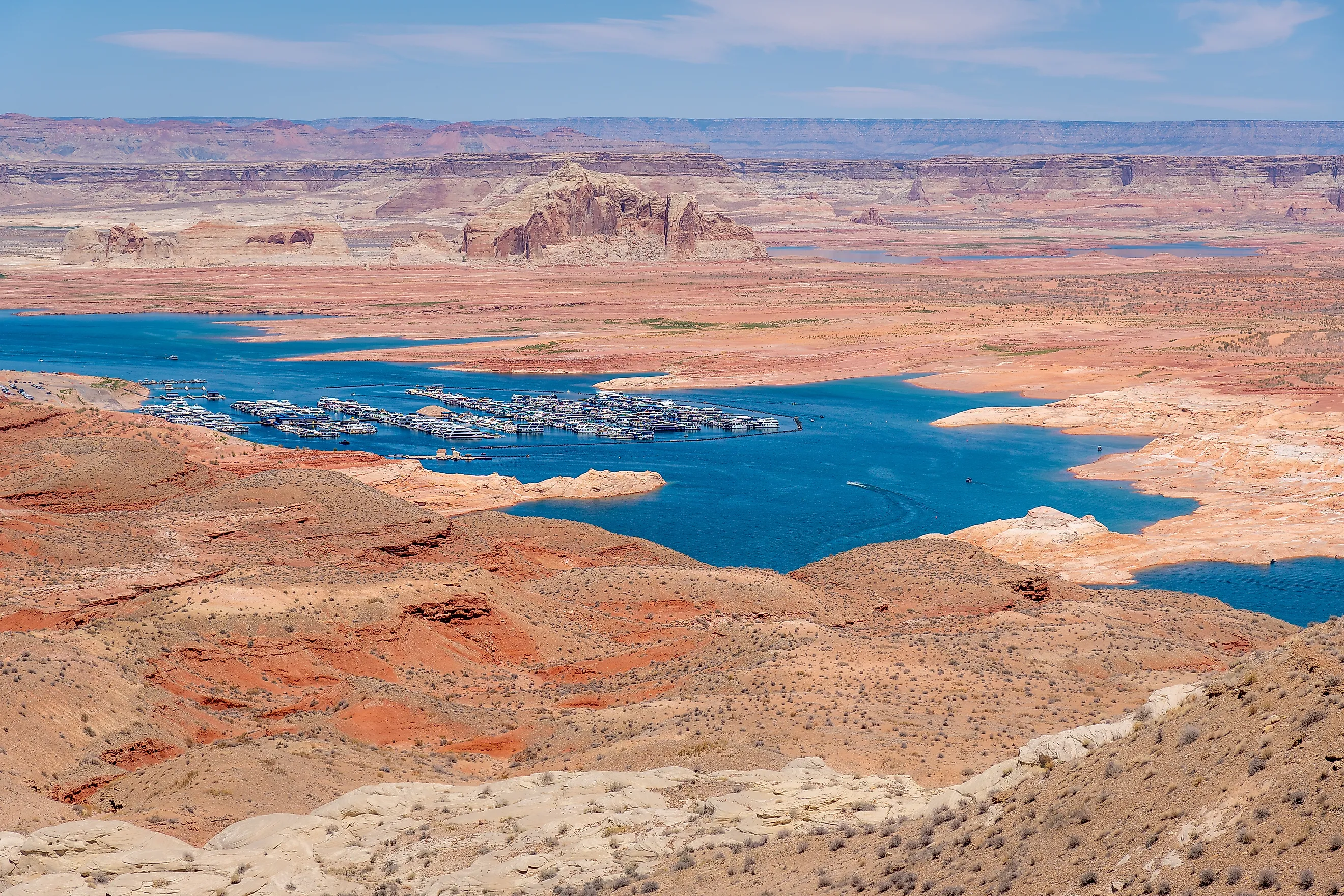
Lake Powell covers much of Glen Canyon, including the Colorado River's old channel and places where people lived and crossed the river. Gregory Natural Bridge disappeared beneath the reservoir, as did the townsite of Hite and the remains of a failed gold dredge. Across parts of the bottom, decades of deposited mud now separate the lake water from the ground that existed before Glen Canyon Dam. The reservoir straddles Utah and Arizona, where boaters travel through flooded branches of the canyon. Falling water has exposed some of those buried places again, including Indigenous archaeological sites with stonework that survived decades underwater. Others remain beneath deep water or sediment.
The Old Colorado River Channel Runs Beneath The Lake
Lake Powell began filling on March 13, 1963, when water backed up behind Glen Canyon Dam near Page, Arizona. It took until June 22, 1980, to reach full pool. At that level, the reservoir extends about 186 miles and reaches into more than 90 side canyons. Near the dam, the water is about 560 feet deep when the reservoir is full. Its long arms follow valleys that existed before the dam, with submerged canyon walls descending toward former streambeds.
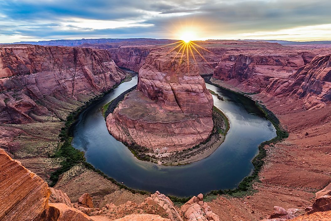
Beneath the reservoir's newer mud lie bedrock and coarse river material. Sediment cores collected in 2018 reached that older surface at multiple locations. The bottom therefore changes across the reservoir: steep rock slopes occupy some areas, while accumulated sediment covers portions of the old channel. A boat crossing open water can be passing over a former river bend or the junction where a tributary entered the Colorado.
Cathedral In The Desert And Gregory Natural Bridge Went Under

In Clear Creek Canyon, off the Escalante arm, Cathedral in the Desert contains a sandstone chamber and a waterfall. The rising reservoir submerged the chamber, including the drop over which the creek had fallen. Its exposure depends on the water level, and low water has revealed both the rock enclosure and the sediment deposited inside it. By 2023, water had scoured roughly 20 feet of accumulated sediment out of the chamber, according to the Glen Canyon Institute.
Nearby in Fiftymile Canyon, Gregory Natural Bridge also disappeared beneath Lake Powell. Its opening reemerged in 2021 after decades of submersion. Low water allowed boats to pass beneath the sandstone span, where higher reservoir water had once covered the bridge itself.
Indigenous Sites Survived Decades Underwater

Before the reservoir, people had used Glen Canyon for thousands of years. Ancestral Puebloan farmers grew crops in the region and built dwellings and storage rooms. Later communities left their own traces, including Navajo sites. The flooding covered part of this cultural landscape, placing buildings and rock imagery beneath water.
Archaeologists worked ahead of the rising lake, recording sites and removing artifacts they could preserve. Many places were subsequently assumed destroyed. In findings reported in 2022, Museum of Northern Arizona archaeologists described substantial stone structures surviving at sites exposed by falling water.
Exposure creates another problem. Park archaeologists warn that newly exposed sites become vulnerable to visitor damage. Descendant communities still regard these ancestral places as culturally meaningful.
Hite's Townsite And River Crossing Went Under

Gold drew prospectors to Hite, near the upper end of what became Lake Powell. Cass Hite arrived in Glen Canyon in 1883 and found fine gold in the Colorado's sands and gravel. Near the mouth of White Canyon, he identified a useful river crossing and called it Dandy Crossing. A settlement developed there, with a post office established in 1889. Hite and his brothers ran a small store alongside it. The gold was difficult to recover, and the mining boom faded.
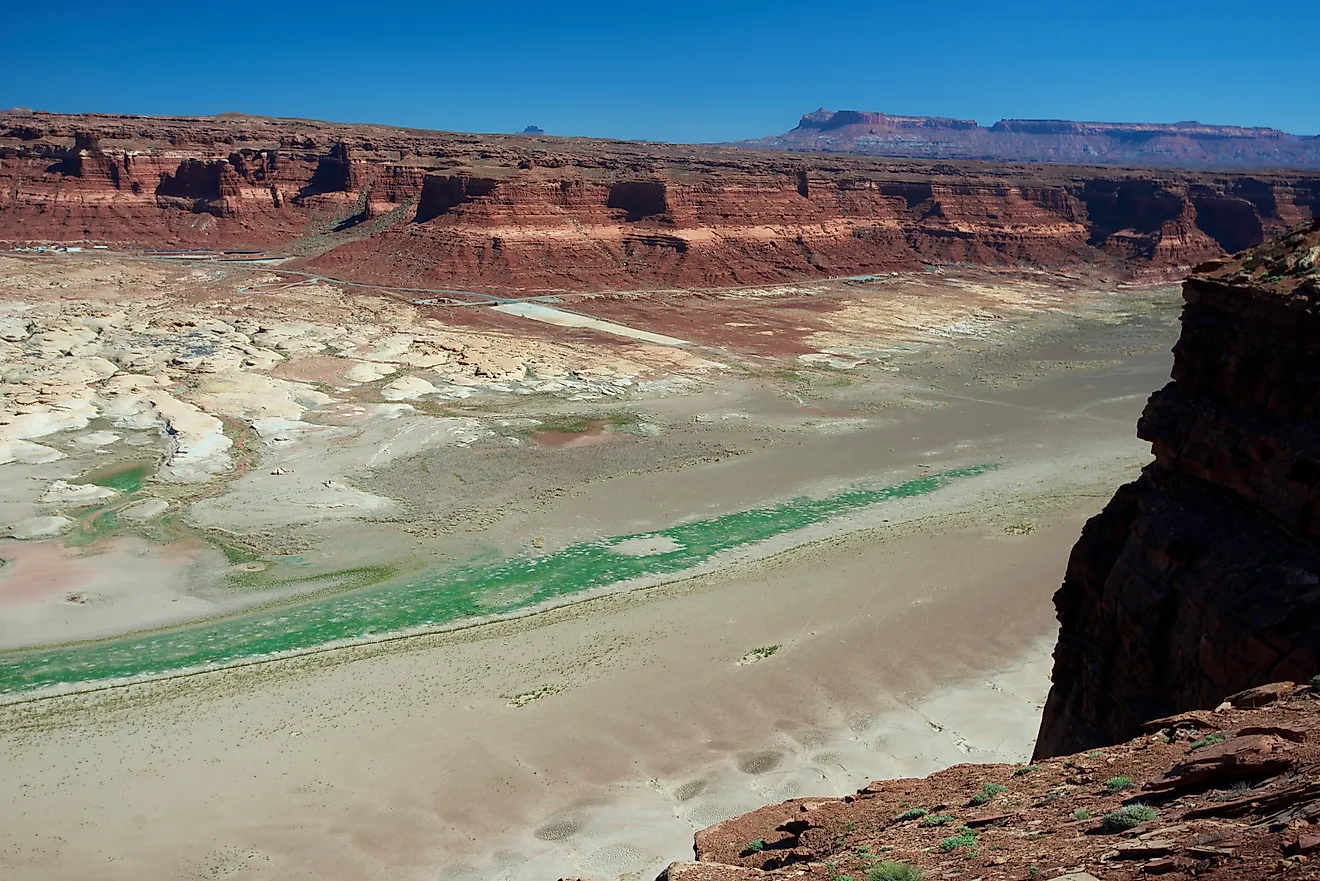
The crossing proved useful long afterward. Regular ferry service began in September 1946, carrying traffic across a stretch of the Colorado that had been difficult to traverse. The ferry stopped operating on June 5, 1964, as Lake Powell filled the canyon. Lake Powell inundated the old townsite. Low water has since left the modern Hite launch ramp above the reservoir, near the Colorado and Dirty Devil river confluence.
Lake Powell Covered An Abandoned Gold Dredge

Upstream of Bullfrog Creek, Robert Brewster Stanton tried mining the river with a machine weighing about 180 tons. His Hoskaninni Company's dredge used a chain of buckets to scoop up river material and machinery to separate the fine gold. Building it required hauling equipment across the desert from the railroad at Green River. Crews assembled the dredge beside the Colorado around 1900. Gasoline engines powered its equipment.
The machinery could move large amounts of gravel, but the recovered gold did not justify the expense. The operation failed, and the dredge was abandoned. Its deteriorating remains became a recognizable stop for later river travelers; a University of Utah photograph records a visit in 1951. Lake Powell eventually covered the wreck.
Thick Sediment Now Covers Parts Of The Original Ground

Much of the material accumulating on Lake Powell's bottom arrives with the Colorado and San Juan rivers. As river water slows in the reservoir, sediment settles. Mud builds over the older ground, especially around the river mouths, and some of those deposits shift again as lake levels change.
In the thickest complete sections sampled during the 2018 coring project, reservoir deposits exceeded 98 feet. Those samples contained thin layers of mud with varying amounts of sand or silt.
A USGS assessment found that Lake Powell lost about 1.83 million acre-feet of storage capacity between 1963 and 2018, approximately 6.8 percent. Sediment occupies space the reservoir once used to store Colorado River water for release downstream.
A Lake Bottom That Keeps Shifting
At the upper end of Lake Powell, the boundary between river and reservoir moves with the water level. Deposits that formed beneath the lake can become exposed banks, then be cut by flowing water. In side canyons, returning streams can remove sediment that buried the former floor, as happened at Cathedral in the Desert. A falling reservoir can therefore uncover a rock formation while leaving nearby ground concealed beneath mud. Those changing shores affect boat travel, with narrowing channels concentrating traffic. At Cathedral in the Desert, maidenhair ferns and willows had begun returning by 2023, after the chamber emerged from the reservoir.