The Mountains That Make Their Own Weather
Hikers exploring mountain landscapes often encounter weather that changes dramatically over a relatively short distance. Mount Rainier is famous for its saucer-shaped lenticular clouds, which can conceal dangerous summit conditions. New Hampshire's Mount Washington experiences extreme winds, including a recorded gust of 154 mph in July 1996. These four mountains demonstrate how towering peaks shape their own weather, often catching even experienced climbers off guard.
Mount Rainier, Washington

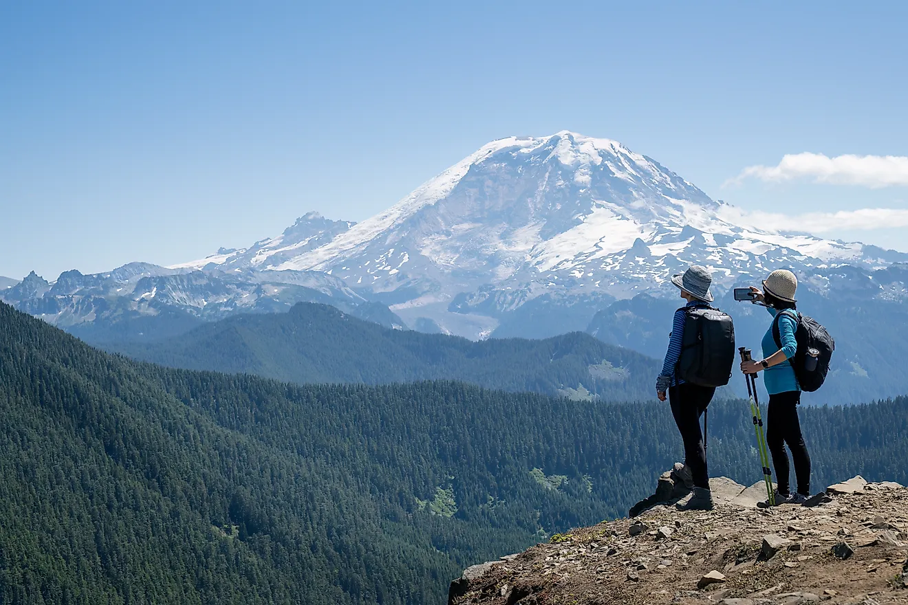
At 14,410 feet (4,392 meters), Mount Rainier in Washington is the highest peak in the Cascade Range and a significant obstacle to air moving inland from the Pacific Ocean. The mountain is an active volcano created by accumulating layers of hardened lava from repeated eruptions over roughly 500,000 years. As air from the Pacific Ocean rises over the mountain, it cools and releases moisture as rain or snow on the western slopes. The mountain's eastern side lies in a rain shadow, an area that receives less precipitation because the air has already lost a lot of its moisture on the western slopes.
Mount Rainier also creates its own clouds. As wind carries air up and over the mountain, the air cools and can form clouds above the summit. Some take on a smooth shape, almost like flying saucers of UFO lore. These lenticular clouds can appear to hover in place, even in strong winds, continually forming on one side and disappearing on the other as air flows through.
A cloud above Mount Rainier's summit can look harmless from below while climbers within it may face an intense, localized blizzard. Heavy cloud cover can also create whiteout conditions, making it difficult for hikers to find their way across difficult, snowy terrain. The National Park Service warns that severe winter-like storms can happen even in summer and urges climbers to turn back when the conditions deteriorate.
Climbers must obtain a permit to hike across glaciers or above about 10,000 feet, and pay a climbing registration fee. During the busy summer season, a wilderness permit is also required, even for climbs without an overnight stay. Climbers can go independently or with a guide, but solo climbing requires special approval from the park. The National Park Service recommends making reservations for climbs between May 1 and September 15 because camps fill up quickly in the peak season.
Mount Washington, New Hampshire

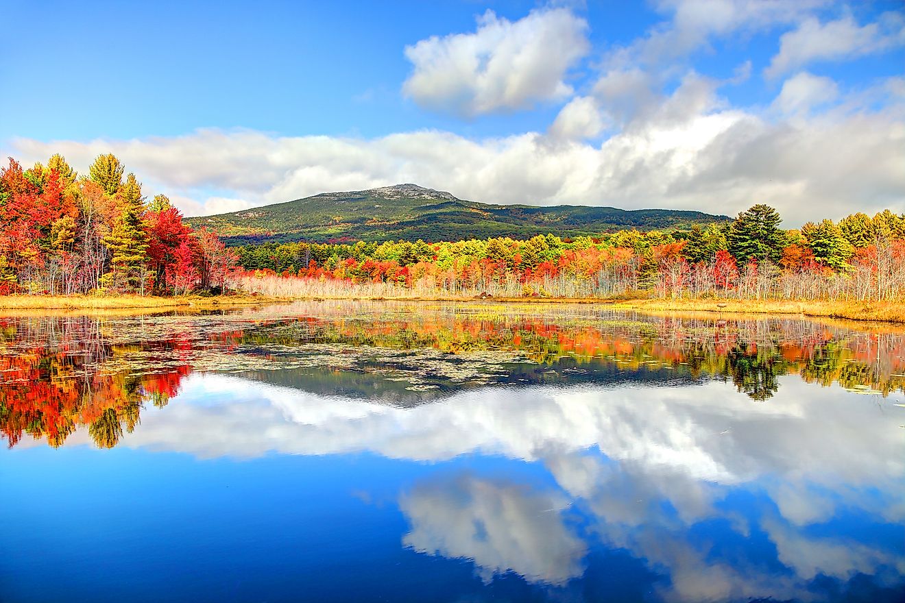
Fog surrounds Mount Washington's summit for roughly two-thirds of the year. The summit can remain foggy even when nearby valleys have clear skies. The 6,288-foot (1,917-meter) mountain in New Hampshire's Presidential Range is the highest peak in the northeastern US. Winds pushing air uphill help maintain this summit cloud cover, known as upslope fog. The mountain can also keep producing rain or snow after precipitation in other nearby areas has tapered off. In October 2012, Brian Fitzgerald, a weather observer at Mount Washington Observatory, described showers lingering over the mountain as rain dwindled across surrounding areas.
The surrounding White Mountains also help strengthen winds over Mount Washington. Their terrain funnels winds from the west toward the summit, while air speeds up as it passes over the Presidential Range. The exposed summit has stronger winds than the sheltered valleys below. Extreme winds are possible even in summer. The Mount Washington Observatory recorded a gust of 154 mph in July 1996. Winds approaching 100 mph can make simply standing very difficult, making climbing near the summit very challenging.
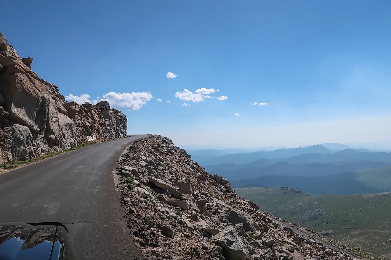
Jewell Trail is one of several hiking routes to the mountain's summit. Another common approach, the Tuckerman Ravine Trail, begins at the Pinkham Notch Visitor Center and covers 8.4 miles round trip, with 4,250 feet of elevation gain. Hikers encounter narrow rock shelves with steep drop-offs and loose, rocky footing near the summit. Snow and avalanches can close sections through the ravine, so access to the trail depends on the conditions of the trail, rather than a fixed date. Hikers should check current trail information and the Mount Washington Observatory's Higher Summits Forecast before beginning the ascent.
Mount Shasta, California

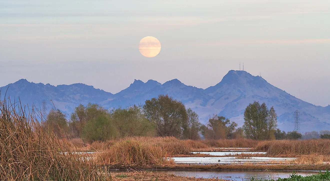
Mount Shasta is the second-highest peak in the Cascades at 14,162 feet (4,317 meters). It sits in northern California about forty miles south of the Oregon border. Mount Shasta is a volcano with several vents or openings that lava and other volcanic material flow through to reach the surface. Repeated eruptions built four cones over time. These cones overlap to form the mountain seen today. The slopes of these overlapping cones now redirect passing air, and as the air rises over Mount Shasta, it cools, and moisture can condense into clouds. Some, known as lenticular clouds, form smooth layers that stack above the summit and appear to hover in place even though air keeps moving through them.
The Mount Shasta Avalanche Center warns that cloud caps can cover the upper mountain even when skies are clear below. Climbers on the higher slopes may encounter strong winds, colder temperatures, and poor visibility. The Center advises against climbing into a whiteout situation or continuing into worsening weather.
Hikers need a free wilderness permit to enter Mount Shasta Wilderness year-round. To travel above 10,000 feet, those aged 16 and older need a paid Summit Pass. Groups must be ten people or fewer, and visitors must pack out solid human waste and garbage. Dogs and campfires are prohibited in the wilderness.
Denali, Alaska

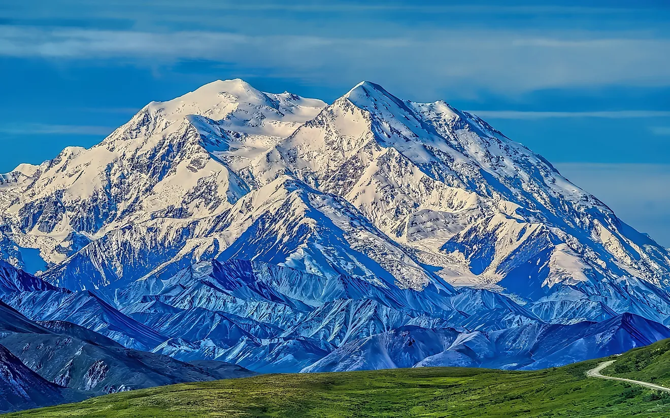
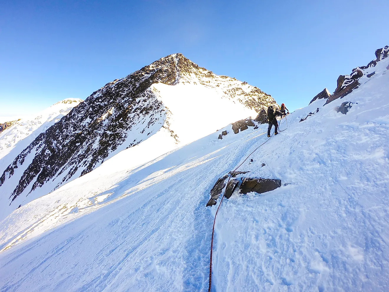
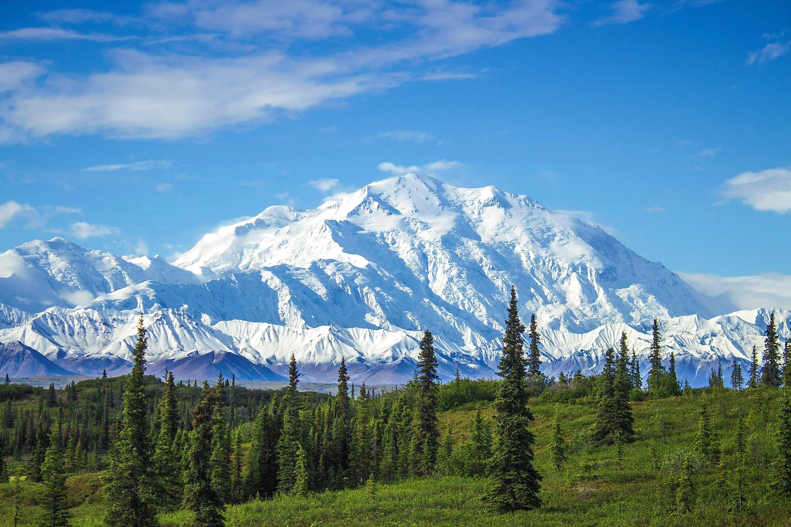
North America's highest mountain, Denali, also known as Mount McKinley, rises 20,310 feet (6,190 meters) in Alaska's Alaska Range. Denali is made mostly of granite, a rock that formed within Earth's crust when molten material cooled and hardened underground. Over millions of years, forces within Earth's crust pushed that rock upward to form the mountain. Denali is still rising, as forces within the crust push its hard granite up faster than wind, water, and ice can wear it down.
Denali rises so sharply above the surrounding land that air must change direction to move over or around it. The National Park Service compares its effect to a large boulder creating rapids in a river. Storms arriving from the Gulf of Alaska and the Bering Sea encounter this mountain barrier. As the mountain forces air upward, it cools, allowing moisture to form clouds and fall as snow. Denali's immense size alters airflow and intensifies local weather, so clear conditions can quickly give way to fierce winds, heavy snowfall, and blizzards.
Climbers generally need to register at least sixty days in advance, pay a mountaineering permit fee, and attend a ranger orientation in Talkeetna before departing. They can climb with an independent team or an authorized guide service. The National Park Service stresses that teams must be self-sufficient, since weather and altitude can prevent rescuers from reaching them quickly.
Mysterious lenticular clouds over Mount Rainier and Mount Shasta, persistent fog or incredibly high winds on Mount Washington, and rapidly changing summit weather on Denali reveal how mountains shape the air moving around them. Their influence can be visible from miles away, yet the weather within a summit cloud may be difficult to judge from below. The climbing accounts show how wind, snow, and poor visibility can obscure routes and delay rescues. Understanding these mountains means considering both the terrain underfoot and the changing atmosphere above it.