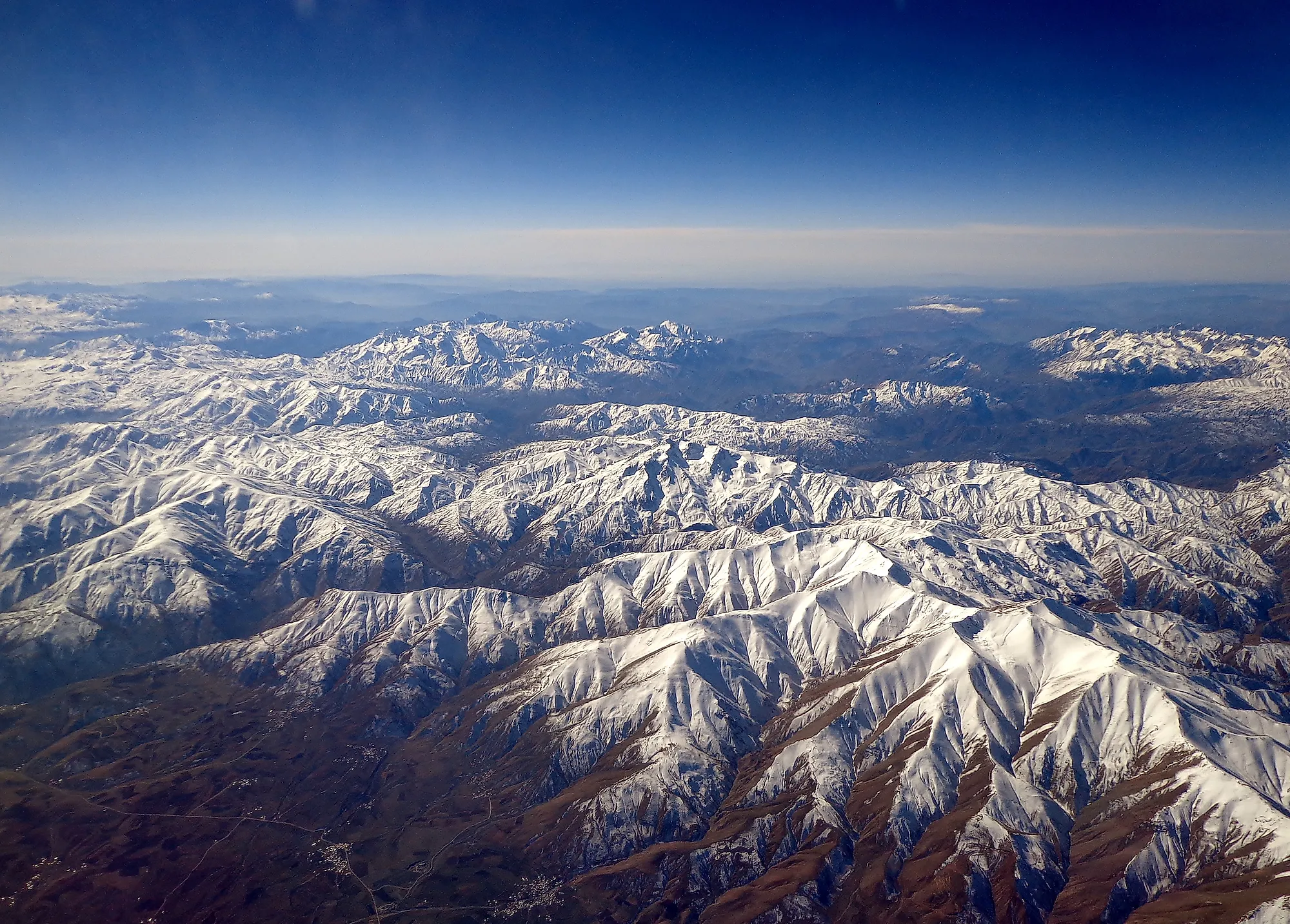
The World's Longest Mountain Ranges
Ask a geologist to name the world's longest mountain range and you will get a follow-up question: does underwater count? It matters, because the longest range on Earth is not the Andes, the Rockies, or anything else a person can hike. It is the mid-ocean ridge, a chain of volcanic peaks that circles the planet like the seam on a baseball, and more than 90 percent of it has never seen daylight. Every list of the longest mountain ranges, including this one, quietly handles that problem with an asterisk that reads "on land." So here is the champion nobody can visit, followed by the seven longest ranges that had the decency to form above sea level.
The Mid-Ocean Ridge (~65,000 km): Winner on a Technicality

The mid-ocean ridge system runs about 65,000 kilometers (40,000 miles), which is more than one and a half times the circumference of the Earth and roughly nine times the length of the Andes. It forms where tectonic plates pull apart and magma rises to fill the gap, building new seafloor as it cools. The average summit sits about 2,500 meters (8,200 feet) below the surface, which explains why the world's biggest mountain range has never once appeared in anyone's vacation photos. The main exception is Iceland, where the ridge climbs out of the Atlantic and Thingvellir National Park lets visitors stand in the rift between the North American and Eurasian plates while staying dry. If length were the only criterion, the contest would end here. Every ranking below exists because geographers decided, reasonably enough, that a mountain range requiring a submarine belongs in its own category.
1. Andes (~7,000 km)

The Andes hold the land title at about 7,000 kilometers (4,300 miles), running down the western edge of South America through Argentina, Bolivia, Chile, Colombia, Ecuador, Peru, and Venezuela. The range rose where the Nazca Plate dives beneath the South American Plate, and the construction project is still running: the Andes carry one of the densest lines of active volcanoes on Earth. Aconcagua, at 6,961 meters (22,838 feet), stands as the tallest mountain anywhere outside Asia. For all that length, the range stays remarkably thin, between 120 and 430 miles wide, a spine rather than a slab. The Andes also gave the world quinine, the original malaria treatment, drawn out of the bark of the cinchona tree on the range's wetter slopes. Geographers split the chain into the Northern, Central, and Southern Andes, and the climate swings accordingly, with cloud forest at one end and Patagonian ice at the other.
2. Southern Great Escarpment (~5,000 km)

The second-longest entry is not a collision range at all, which raises its own eligibility questions. The Southern Great Escarpment is the raised rim of southern Africa's central plateau, a wall of steep slopes running about 5,000 kilometers (3,100 miles) through Angola, Namibia, South Africa, Lesotho, Eswatini, and Zimbabwe. Nothing crashed into anything here. The escarpment began as the walls of rift valleys that opened when the supercontinent Gondwana broke apart, and erosion has been sculpting the edge ever since, leaving cliffs that look and behave like mountains, which is apparently enough for the record books. The most celebrated stretch is the Drakensberg, the "Dragon Mountains" along the Lesotho border. There the escarpment reaches its ceiling at Thabana Ntlenyana, a 3,482-meter (11,424-foot) summit inside Lesotho that ranks as the highest point in all of southern Africa.
3. Rocky Mountains (~4,800 km)

The Rocky Mountains run about 4,800 kilometers (3,000 miles) through western North America, between the Liard River in northern British Columbia and the basin country of New Mexico. They do not start in Alaska and they do not end in Mexico, two claims that circulate widely and survive on confidence alone. The genuinely strange thing about the Rockies is their address: hundreds of miles inland, nowhere near a plate edge. The ancient Farallon Plate slid beneath North America at an unusually shallow angle, scraping along under the continent and buckling the crust far into the interior. The crash happened at the coast; the wreckage piled up in Colorado. Mount Elbert, the range's high point, tops out there at 4,401 meters (14,440 feet). The Rockies also carry the Continental Divide, the ridgeline that decides whether a falling raindrop will finish in the Pacific, the Atlantic, or the Arctic.
4. Transantarctic Mountains (~3,500 km)

James Clark Ross sighted the Transantarctic Mountains in 1841, near the ice shelf that now bears his name, and sixty years passed before anyone crossed them, during the 1901-1904 British National Antarctic Expedition. That gap tells you most of what you need to know about the commute. The range runs about 3,500 kilometers (2,200 miles) across the entire continent, between Cape Adare and Coats Land, and it does real structural work, separating East Antarctica from West Antarctica. Its sedimentary layers sit stacked on a basement of granite and gneiss, and the range holds one of the continent's best jokes: the McMurdo Dry Valleys, bare-ground basins that count among the driest places on Earth, sitting on the same landmass that locks up most of the planet's fresh water as ice.
4. Great Dividing Range (~3,500 km)

Australia's Great Dividing Range ties the Transantarctic at roughly 3,500 kilometers (2,200 miles), running nearly parallel with the country's east and southeast coasts. Calling it a mountain range takes some generosity. Long stretches are hills, tablelands, and plateaus, and the whole system's ceiling is Mount Kosciuszko at 2,228 meters (7,310 feet), a national high point you can reach on a maintained walkway in comfortable shoes. The range earns its name anyway. It splits the continent's water, sending rivers east into the Pacific or west into the dry interior, and it shelters most of the ecosystems Australia cannot afford to lose, including species found nowhere else on the planet. The Blue Mountains, the Snowy Mountains, and the Australian Alps all sit within it. Gregory Blaxland, William Lawson, and W.C. Wentworth forced the first colonial route across the Blue Mountains section in 1813, and farming, timber, and mining moved in behind them.
6. Himalayas (~2,600 km)

The Himalayas land in sixth place at about 2,600 kilometers (1,600 miles), and this is the one entry that would find its ranking funny. What the range concedes in length it collects in altitude. Mount Everest crowns it at 8,849 meters (29,032 feet), and the system holds more than 50 peaks above 7,200 meters, which means the Himalayas' fiftieth-best mountain outranks the best mountain on any other continent. The name translates as "abode of snow" in Sanskrit, and the range earns it, carrying roughly 15,000 glaciers whose meltwater feeds rivers that more than a billion people depend on. The arc curves across five countries: Bhutan, China, India, Nepal, and Pakistan. It also walls the Tibetan Plateau off against the plains of the Indian subcontinent, a barrier high enough to bend the monsoon around itself.
7. Ural Mountains (~2,500 km)

The Urals close the list at about 2,500 kilometers (1,550 miles), a long, narrow ridge through western Russia that serves as the traditional boundary between Europe and Asia. They formed between 250 and 300 million years ago, when ancient landmasses collided, which makes the range older than the dinosaurs and older than the Atlantic Ocean. All that time shows. Erosion has worn the Urals down so thoroughly that their highest summit, Mount Narodnaya, reaches just 1,895 meters (6,217 feet), a continental divide lower than plenty of ski lifts in the Alps. What the range lost in height it kept in the ground. The western slopes carry the limestone, dolomite, and sandstone of vanished shallow seas, basalts dominate the eastern side, and centuries of mining have made the Urals one of the richest mineral regions on Earth.
So Which Range Actually Wins?
It depends on how badly you want to argue. By raw length the mid-ocean ridge takes the title, and it is not close: nine Andes laid end to end would barely match it. By the walkable standard the Andes win, the Himalayas own the altitude column outright, and the Urals take the seniority prize. Notice, though, that every entry here, drowned or dry, runs on the same engine. Plates collide and ranges rise, plates pull apart and ridges swell, plateau edges erode and escarpments stand in for the real thing. Measure the results however you like. The planet keeps building either way.