What Happens To The Rockies If The Snow Turns To Rain
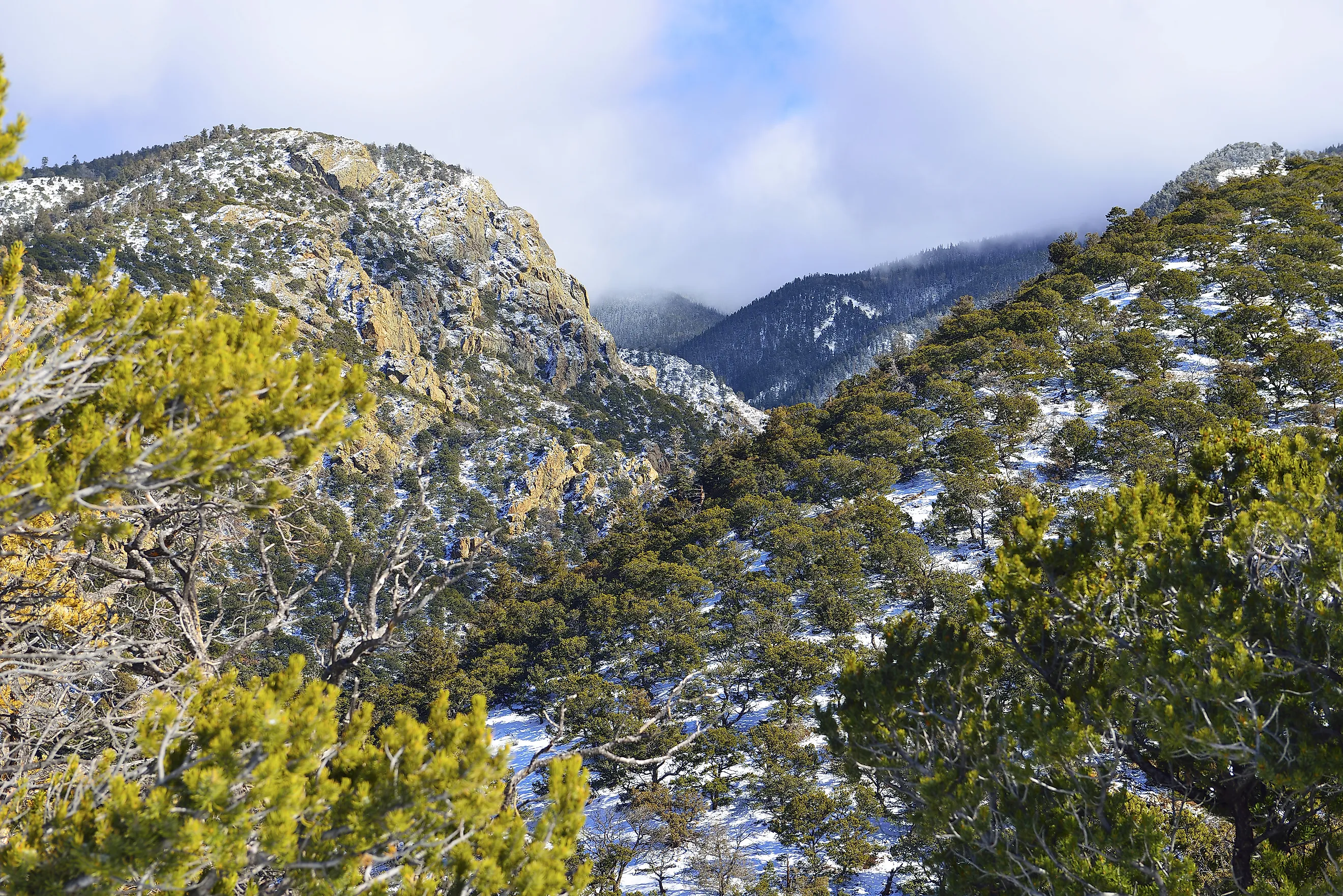
Colorado's own climate assessment puts it in one sentence: precipitation that falls and is stored as snow is more likely to end up as runoff than precipitation that falls as rain. Identical totals, different phase, less water in the river. This is not a question about getting less precipitation, which is the usual framing of a drought. It is about the same amount arriving in the wrong form. The Rockies ran a live demonstration during the 2026 water year, and the result was the lowest snowpack on record in two states.
Snow Is A Reservoir, Rain Is A Flood

The function snow performs has little to do with how much water it holds and everything to do with when it lets go of it.
A snowpack accumulates from late autumn, peaks in April or May, and then melts out over weeks or months. That slow release is a storage system no one had to build, and the entire water infrastructure of the West is designed around its schedule.
Rain does none of that. It runs off within hours, through a basin and past the diversions, and whatever is not captured immediately is gone.
October 2025 Showed Exactly What Happens

The clearest demonstration is recent, documented, and happened in the southern Colorado basins. October brought above-normal precipitation, and a significant portion of it fell as rain. It contributed directly to runoff and reservoir storage, which sounds like good news. Then precipitation stayed well below normal for months and snowpack development was limited through the primary accumulation window.
The water arrived, passed through and was counted. Nothing was banked for spring.
Then March Ran Backwards
What followed is the part that catches water managers out, because the gauges read beautifully while the situation gets worse.
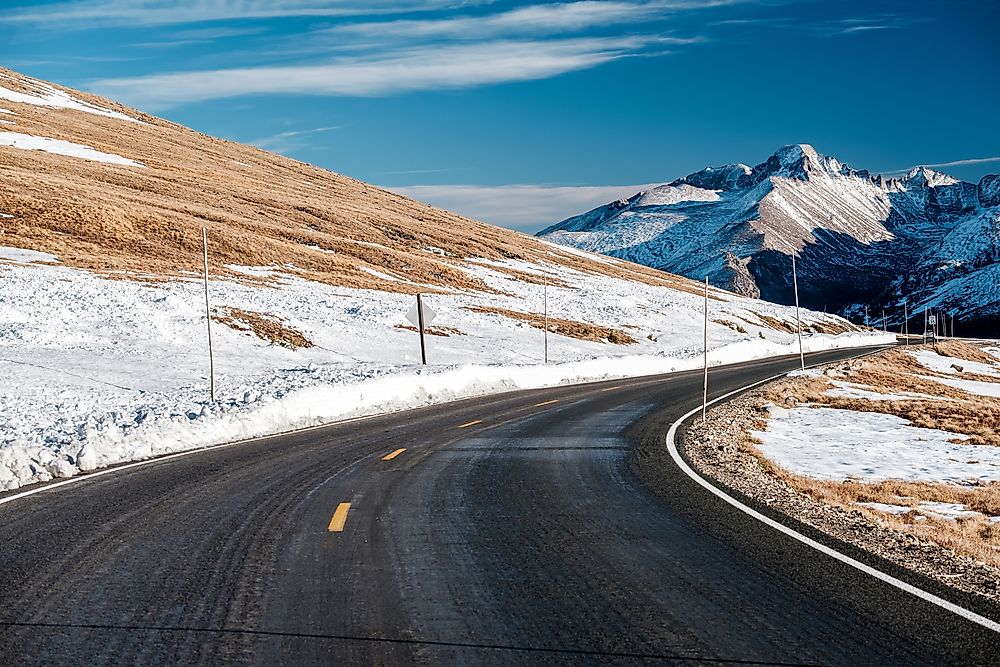
March streamflow ran above median across much of Colorado, with many basins averaging 140 percent of median. Under normal conditions that reads as a strong water supply year. It was not. It was a shift in timing combined with a reduction in total volume.
The snowpack entering April was substantially below normal, which meant a portion of the year's runoff had already happened and there was less left for the months that actually needed it.
The Numbers For 2026

The outcome of that sequence is now in the record. Snow water equivalent across the Upper Colorado Basin reached 62 percent of normal. Utah and Colorado both recorded their lowest snowpacks on record at 57 and 59 percent. The runoff forecast for Lake Powell, which collects the entire Upper Basin, came in at 36 percent of average.
Gauges with observation periods exceeding a hundred years placed those projections at the bottom of the historical record.
Soil Gets First Claim

A second mechanism sits underneath the timing problem, and it explains why good snow years sometimes fail as well.
Denver Water describes it plainly: the soil soaks up moisture like a sponge, and only when it is saturated does the remaining water run into streams and reservoirs. Nature gets first claim on the snowmelt.
In 2025 the Upper Colorado Basin had near-normal snowpack and a runoff forecast of 67 percent of average, because dry soils absorbed the difference before it reached a channel. Snowpack stopped being a reliable predictor of runoff some years ago.
Warmth Speeds The Melt Itself
Even when precipitation does fall as snow, higher temperatures change what becomes of it. Warmer conditions bring earlier melt, which moves peak runoff into spring and lengthens the dry period afterwards. More water is lost to evaporation and to sublimation, where snow passes directly to vapor without melting at all. Chinook winds can remove a snowpack without producing meaningful runoff.
Colorado's climate assessment rates earlier runoff timing and lower summer soil moisture as high-confidence projections, and of 32 model runs, all 32 show lower snow water equivalent on June 1 than the historical baseline.
Dust Makes It Worse

One factor specific to the Colorado Rockies accelerates everything above, and it blows in from the deserts upwind.
Dust deposited on snow darkens the surface and drops its reflectivity to values as low as 0.35, roughly half that of clean snow. The darker surface absorbs far more solar energy, and melt rates climb accordingly.
Research in the Upper Colorado River Basin found dust loading can advance snowmelt timing by up to 30 days. A month of difference in when the water arrives, driven by soil blown off land hundreds of miles away.
A Steady Paycheck Versus A Windfall

The clearest framing of why timing matters comes from a utility rather than a laboratory. Denver Water compares a long, late runoff stretching through spring into summer to a steady paycheck that covers the bills, because it delays the point at which the utility has to draw down its reservoirs. An early, compressed runoff is a lump sum that arrives before the bills do.
Reservoirs exist to smooth exactly that, which is why the system has coped so far. They were sized for a snowpack that released slowly, and they are now being asked to do more of the work.
What It Does Not Mean
Worth being clear about the limits here, because this is a gradual shift rather than a switch being thrown.
The high Rockies are not about to stop receiving snow. The change concerns the proportion falling as rain, particularly at lower and middle elevations and at the shoulders of the season, and the rate at which what does fall melts out.
Reservoir storage across Colorado has been running near average at around 89 percent of median even through poor snow years, which is the buffer working as intended. The question is how many consecutive years it can absorb.
The Short Answer

If Rockies precipitation shifts from snow toward rain, the same totals deliver less usable water. Rain runs off immediately instead of being stored until spring, dry soils take their share before anything reaches a stream, peak runoff moves earlier, and the late-summer period when demand is highest gets longer and drier.
The 2026 water year ran the experiment. Rain in October counted as runoff, snowpack never developed, March flows read 140 percent of median, and the Lake Powell forecast came in at 36 percent of average. The water was not missing. It arrived in the wrong form at the wrong time, which turns out to be much the same thing.