The Year The Colorado River Stopped Reaching The Sea
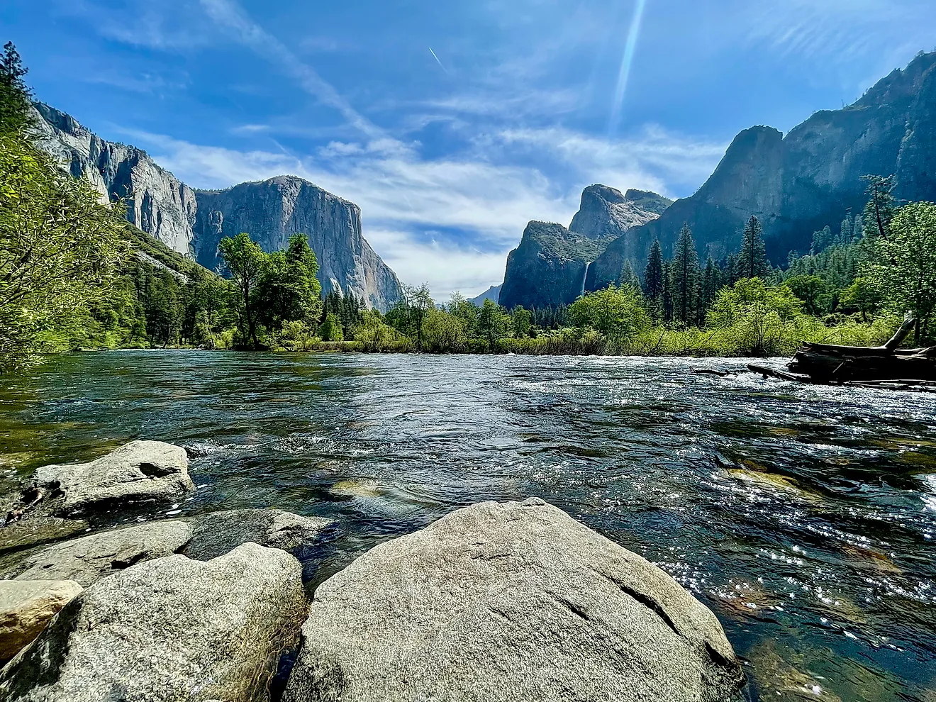
The Colorado River runs about 1,450 miles from the Rocky Mountains to the Gulf of California, or at least it is supposed to. In reality, one of North America's most important rivers often dies in the desert, its final miles reduced to dry, cracked channels well short of the ocean it once fed. That raises a simple, striking question: when did the Colorado actually stop reaching the sea? The answer points to a single decade and a single dam, though the full story, as with most things involving Western water, is a little more tangled and a lot more interesting than a one-line answer suggests.
A River That Once Poured Into the Sea

It's easy to forget that the Colorado once ended in a stunning display of nature. Where the river flowed into the Gulf of California, or Sea of Cortez, it expanded into a vast delta—a wilderness of braided channels, marshes, and lagoons spanning nearly two million acres. In the 1920s, conservationist Aldo Leopold paddled through this lush maze of "a hundred green lagoons," teeming with deer, jaguars, and myriad birds. This site was one of Earth's major desert wetlands, sustained by annual snowmelt floods from the Rockies. For millennia, the Colorado reliably completed its course, nurturing a vibrant estuary at its mouth.
The Year It Stopped: Around 1960

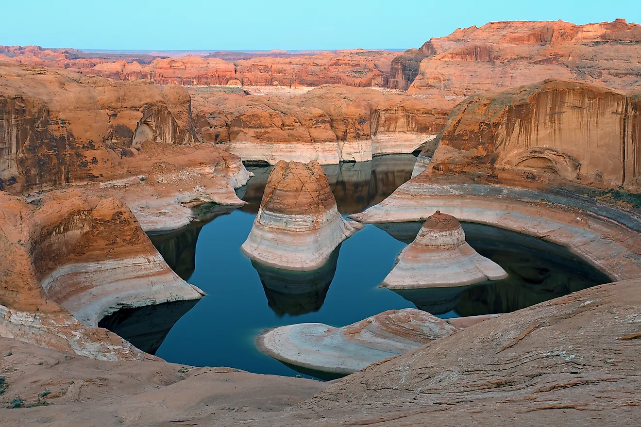
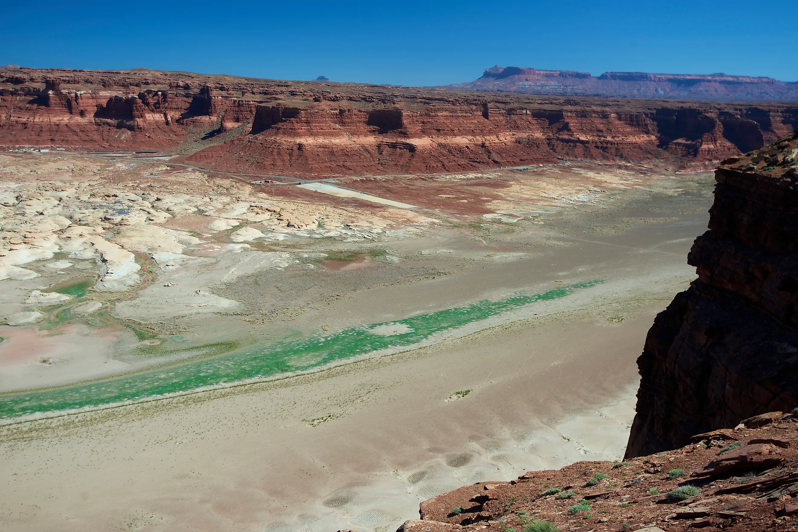
Most experts identify 1960 as the pivotal year when the Colorado River's flow to the sea effectively halted, as the newly constructed dams began trapping large amounts of water. The critical event was the completion of Glen Canyon Dam in 1963 near Page, Arizona. Its massive reservoir, Lake Powell, absorbed years of the river's flow, and from around 1960 to 1980, the Colorado rarely reached the Gulf. Sources like National Geographic generally consider 1960 the turning point, the year when a river that had flowed to the sea for thousands of years was, in practical terms, cut off before reaching the ocean.
Why a Mighty River Runs Dry

The core issue is that the Colorado River's water is overcommitted. The 1922 Colorado River Compact allocated water rights to seven U.S. states and later Mexico, but it allocated more water than the river can supply, a discrepancy that's worsened by drought and climate change. Including significant evaporation from desert reservoirs, the situation becomes dire. As water is diverted toward cities like Phoenix, Tucson, Los Angeles, and San Diego, along with large farms in the valley, about 90% of the water is used up before reaching Mexico. The last hundred miles of the river have become the point where the deficit is felt most, with water effectively exported upstream, leaving the delta as the main loser.
The Rare Returns

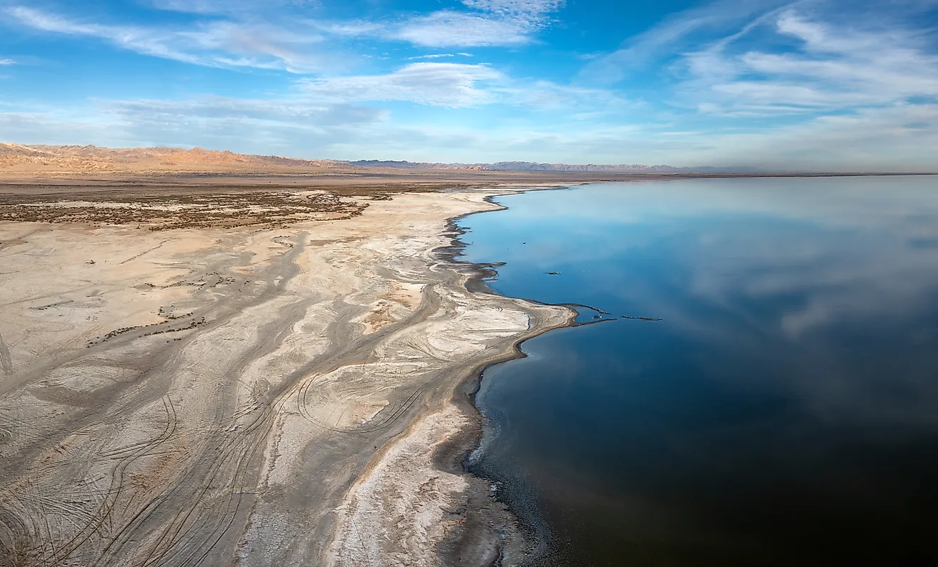
The shutoff was never quite total. In rare years, when the Rocky Mountains delivered an overwhelming snowpack, the reservoirs filled and spilled, and the surplus surged all the way down to the Gulf. Enormous El Niño floods sent the river to the sea in 1983, and it happened again during wet stretches in 1993 and, for the last time under natural conditions, in 1998. After that, the connection was severed entirely. For most of the 21st century, amid a historic megadrought across the basin, the Colorado has simply had nothing left to give by the time it reaches its old delta, and the estuary has been left to dry, salt-crusted channels.
The Day the River Came Back: 2014

Then came a genuinely moving experiment. Under a US-Mexico agreement known as Minute 319, engineers opened the gates of Morelos Dam on the border on March 23, 2014, and released a "pulse flow" of about 105,000 acre-feet, roughly one percent of the river's natural volume, meant to mimic a spring flood. Much of it soaked into the parched ground, but on May 15, aided by a high tide, the Colorado River reached the Gulf of California for the first time in some 16 years. Residents of border towns waded and celebrated in a river many had never seen flow. It was a small volume of water, but an enormous symbol, proof that the river could, given the chance, still reach the sea.
Does It Reach the Sea Today?

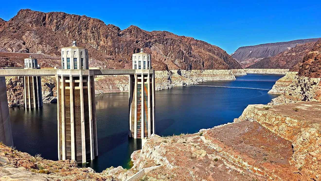
Generally, no. Without intervention, the Colorado River still almost always falls short of the Gulf each year, and the large reservoirs at Lake Mead and Lake Powell remain well below full capacity. However, the 2014 experiment shifted the discussion. Subsequent agreements have committed both countries to providing periodic environmental flows to the delta, with targeted releases already helping to restore native cottonwood and willow trees along the historic channel. The river's potential to reach the sea on its own is now seen as a choice rather than a lost cause. Whether it will again flow to the ocean independently depends not just on weather but also on whether those who rely on it can agree to leave some water for the river itself.