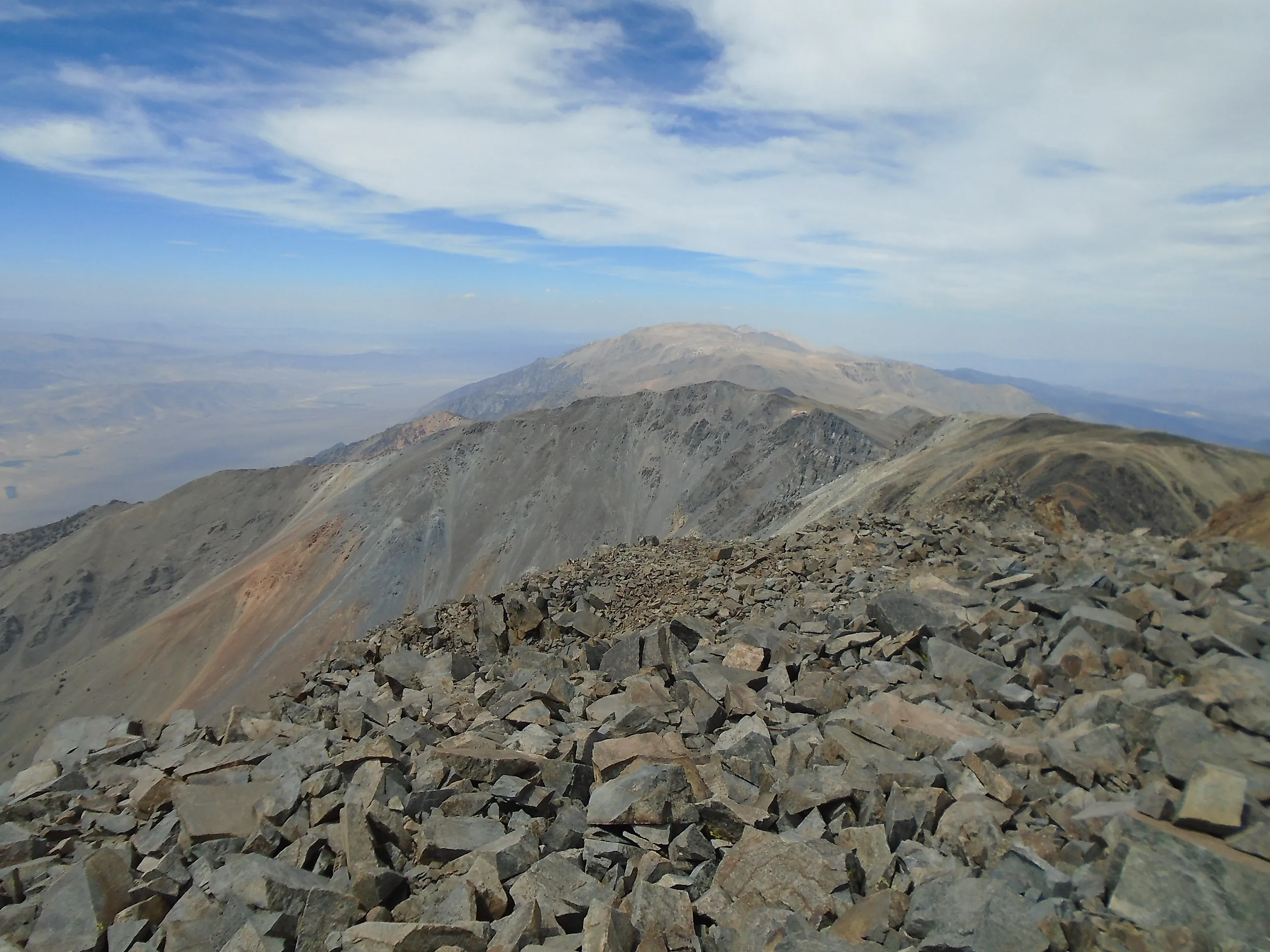
The Driest Mountain In The United States
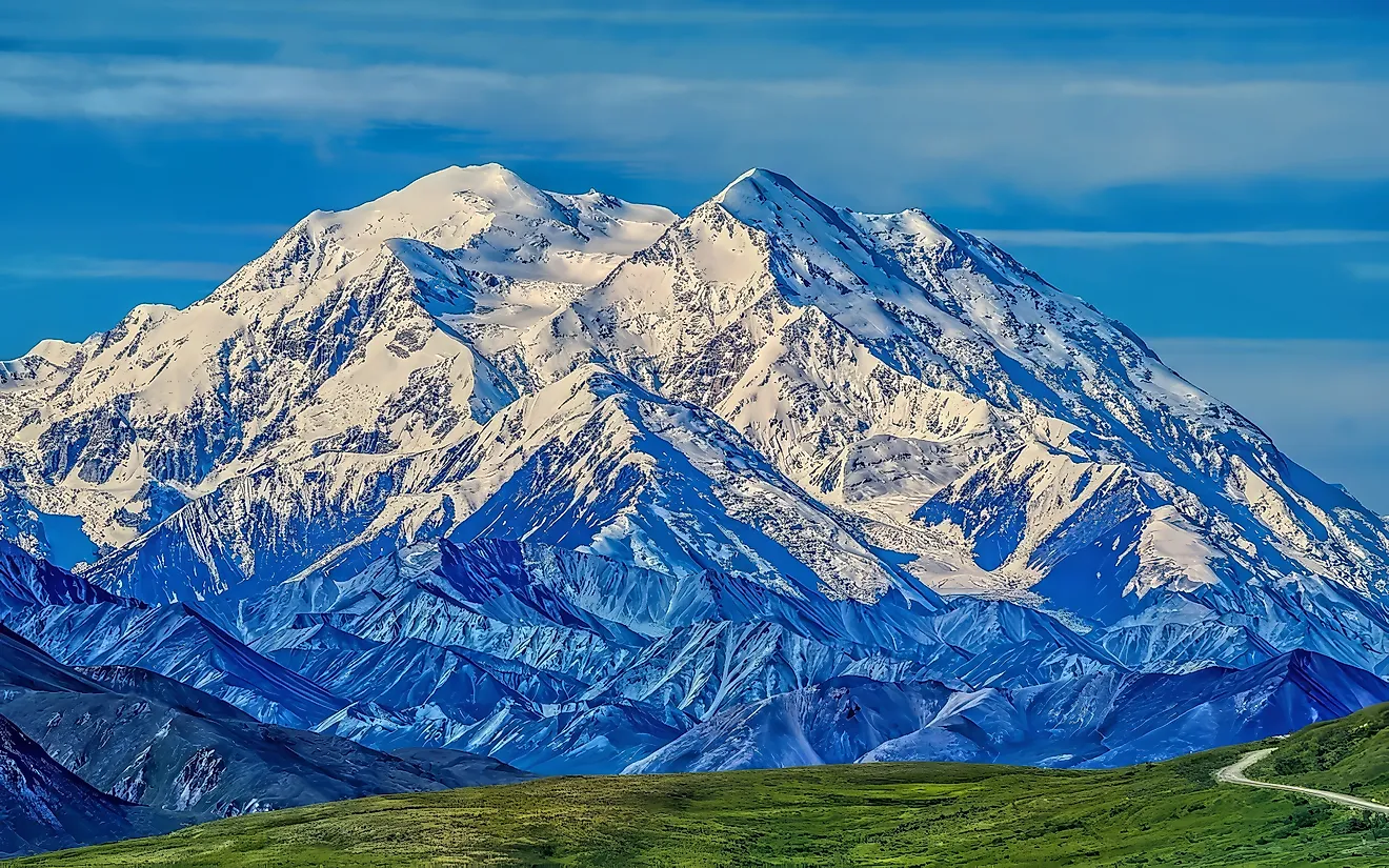
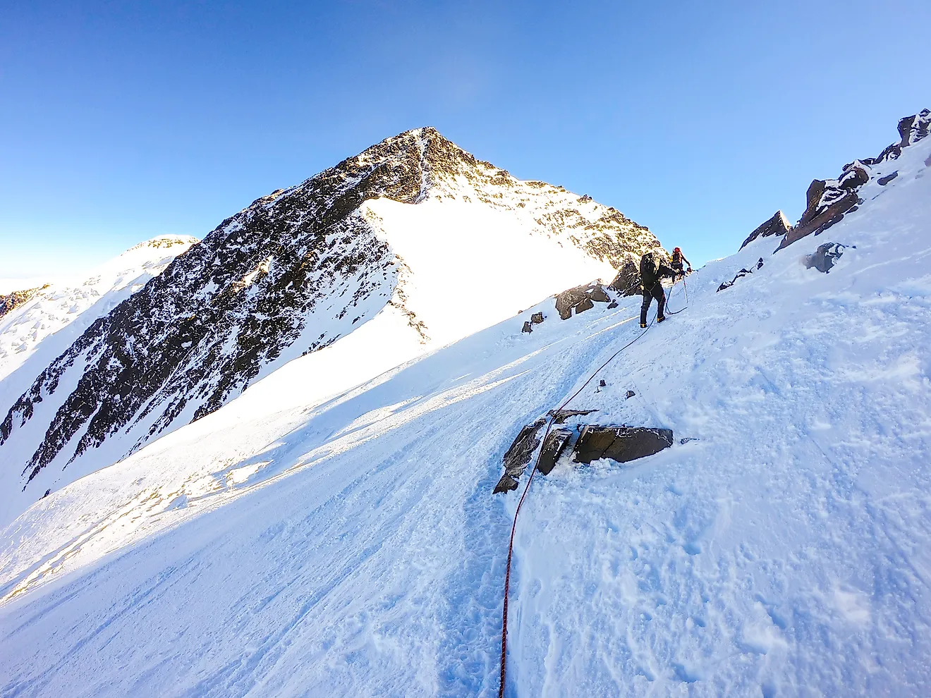
At 14,246 feet (4,342 meters) above sea level, White Mountain Peak rises above a landscape of exposed rock, thin soils, and sparse alpine vegetation. Located in eastern California, this remote summit stands in the rain shadow of the Sierra Nevada, which intercepts much of the moisture carried inland from the Pacific Ocean. The result is an exceptionally dry alpine environment, where plants must survive freezing temperatures, persistent winds, and limited moisture. White Mountain Peak is a striking example of how a mountain can rise more than 14,000 feet above sea level while receiving far less precipitation than many other high-elevation environments.
Where Is White Mountain Peak?

White Mountain Peak is located in the White Mountains of eastern California, near the Nevada border. Rising to 14,246 feet (4,342 meters), it is the highest point in the range and California's third-highest summit. Despite its elevation, the mountain receives relatively little precipitation compared with many high peaks in the western United States. The White Mountains lie east of the Sierra Nevada, whose high ridges intercept moisture arriving from the Pacific Ocean. By the time many weather systems cross the Sierra Nevada, much of their moisture has already fallen as rain or snow. The White Mountains consequently experience a much drier climate, even at elevations where substantial snowfall might otherwise be expected.
White Mountain Peak also stands within the Inyo National Forest, where researchers have studied the unusual alpine environment for decades. The University of California's White Mountain Research Center operates facilities in the range, including Barcroft Station at an elevation of approximately 12,470 feet (3,801 meters). These research facilities have helped scientists document the mountain's climate and investigate how plants survive in its demanding conditions.
The Sierra Nevada Rain Shadow

The primary reason for White Mountain Peak's aridity is its position east of the Sierra Nevada, one of the most prominent mountain ranges in the United States. When moisture-laden air moves inland from the Pacific Ocean, it encounters rising terrain and is forced upward. As the air rises, it cools, causing water vapor to condense and fall as rain or snow. Much of this precipitation falls on the western slopes and higher elevations of the Sierra Nevada. When air descends along the eastern side, it warms, and its relative humidity decreases, making condensation less likely. This process creates a rain shadow that contributes to the dry conditions found across eastern California and the Great Basin.
The White Mountains sit within this rain shadow, directly east of some of the highest terrain in the Sierra Nevada. Although storms can still bring snow and rain to their upper slopes, the mountains generally receive much less precipitation than comparable elevations on the wetter side of the Sierra Nevada. The contrast is especially apparent in the nearby Owens Valley, which separates the two mountain ranges. Moisture from Pacific storms is greatly reduced by the time it reaches this area. White Mountain Peak rises thousands of feet above the valley, but its elevation does not entirely overcome the drying influence of the surrounding geography.
So, How Dry Is White Mountain Peak?

Historical weather observations provide measurable evidence of the White Mountains' unusual climate. According to the University of California Press publication Natural History of the White-Inyo Range, Eastern California, a weather station at 10,150 feet (3,094 meters) recorded average annual precipitation of 12.89 inches (32.7 centimeters) between 1956 and 1977. A higher station near Mount Barcroft, at 12,470 feet (3,801 meters), recorded an average of 17.94 inches (45.6 centimeters) based on historical observations, with some winter records missing.
These figures are remarkably modest for elevations exceeding 10,000 feet. The same research describes annual precipitation across the White Mountains as increasing from approximately 5 to 6 inches (13 to 15 centimeters) in surrounding valleys to around 20 inches (51 centimeters), or somewhat more, at the highest elevations. Much of the precipitation at higher elevations falls as snow. However, the White Mountains also receive moisture from spring weather systems and summer thunderstorms. Precipitation therefore varies throughout the year, and conditions at one elevation do not necessarily represent those at the summit.
Identifying America's single driest mountain requires a consistent method of comparison. Summit precipitation, average precipitation across an entire mountain, and elevation-relative precipitation can yield different results. The available historical observations demonstrate White Mountain Peak's exceptional high-elevation aridity, although they do not establish a nationwide summit ranking. Modern climate datasets, including PRISM estimates from Oregon State University, can be used to compare specific locations when the same measurement period and resolution are applied.
White Mountain Peak Compared With Telescope Peak

Another important example of mountain aridity is Telescope Peak in California's Panamint Range. Rising to 11,049 feet (3,368 meters), it overlooks Death Valley, one of the driest places in North America. The valley floor receives only about 2 inches (5 centimeters) of precipitation annually, making the surrounding landscape among the most arid in the country.
However, the conditions at the bottom of Death Valley differ substantially from those at higher elevations. According to the National Park Service, precipitation in Death Valley National Park increases from approximately 1.9 inches (4.8 centimeters) annually on the valley floor to more than 15 inches (38 centimeters) in the higher mountains. Telescope Peak rises high enough to intercept moisture from passing storms, particularly during the colder months. Its slopes support pinyon pine and mountain mahogany, while higher elevations contain limber pine and other plants adapted to mountain conditions. These communities reflect differences in elevation, temperature, soil, and moisture availability.
White Mountain Peak is considerably taller, with a summit more than 3,000 feet (914 meters) above Telescope Peak. Its location east of the Sierra Nevada also produces a distinctive alpine climate. Both mountains demonstrate that desert geography alone cannot determine how much precipitation falls on a summit. Their precipitation totals must be compared at specific elevations using consistent climate records before either can be ranked as the drier mountain.
Life In A High-Altitude Desert

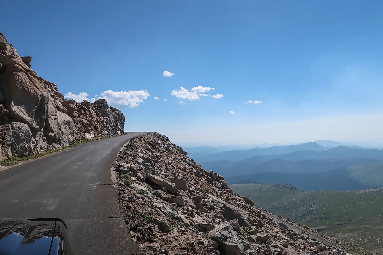
The upper White Mountains contain extensive areas of exposed rock and shallow soils, creating conditions that can appear almost barren. Yet the landscape supports specialized alpine vegetation. The USDA Forest Service identifies the summit plateau of the White Mountains as containing the largest continuous area of alpine steppe vegetation in California and the Great Basin. These plant communities have adapted to a demanding environment. Cold temperatures shorten the growing season, while strong winds redistribute snow and expose vegetation to severe weather. Thin soils also limit the amount of water available to roots during warmer months.
Some plants grow close to the ground, where they are less exposed to wind. Others occupy protected depressions or locations where melting snow provides additional moisture. The distribution of vegetation can change considerably across short distances as soil depth and local water availability vary. Researchers have documented alpine grasslands, cushion plants, and vegetation associated with rocky slopes in the White Mountain summit region. These communities demonstrate that even an exceptionally dry mountain can support a distinctive ecosystem. Sparse vegetation is one visible consequence of the harsh conditions, although temperature and soil development are also important influences.
A Desert In The Sky
White Mountain Peak demonstrates how geography can produce an unusually dry environment at one of California's highest elevations. Historical precipitation records from the White Mountains document annual averages of less than 18 inches (46 centimeters) at research stations above 10,000 feet, while the summit region remains exposed to persistent winds and severe alpine temperatures. The Sierra Nevada rain shadow is central to understanding these conditions. Reducing the moisture reaching eastern California helps create an alpine environment very different from the wetter mountains to the west. White Mountain Peak stands as a remarkable example of high-elevation aridity, where extreme altitude does not guarantee abundant precipitation.