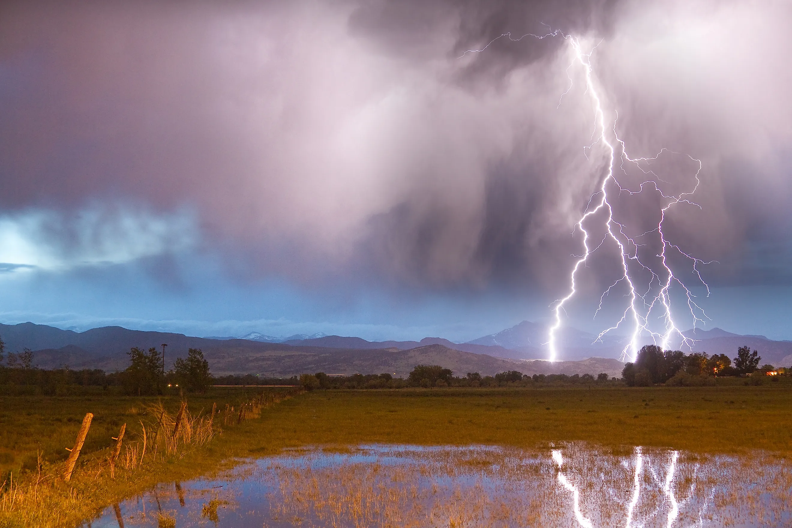
The Mountains Where Lightning Strikes Most Often In America
Lightning lore claims it hits most often on the highest peaks, but more than 21 years of ground-strike records prove the densest lightning zone on mountains do not sit on the state's tallest peaks. Instead, that title belongs to where Pikes Peak meets the Palmer Divide, a ridge that runs east onto the plains.
Here parts of the ground averaged more than 6.5 cloud-to-ground flashes per square kilometer per year between 1996 and 2016, according to a National Weather Service climatology.
The Sawatch Range, home to Mount Elbert, the highest summit in the Rocky Mountains, gets very little lightning by comparison. The key difference is moisture.
Mountains may start thunderstorms, but they need a steady feed of humid air to keep producing bolts. Peaks walled off from that supply stay quiet even if they are higher. The same pattern repeats across Colorado, New Mexico, and Arizona, where the summer monsoon arrives each July.
Florida still has the highest lightning density of any state, so these are mountain records rather than national ones. Ground counts also miss most of the action: comparing a total-lightning network with ground-strike data over northeastern Colorado implies ten or more in-cloud flashes for every bolt that reaches the ground.
The five mountains below are where the strikes that do reach the ground land most often, and the unique reasons why.
Pikes Peak, Colorado

At 14,115 feet, Pikes Peak ranks 32nd in elevation among Colorado's peaks, according to Britannica. Its geographic position matters more than its height. A Weather Service study found that Pikes Peak sticks out farther east than any other Front Range mountain, with its south and east flanks rising straight off the plains.
The summit sits an estimated 12 miles from Colorado Springs, a 13 percent grade that forces humid air upwards fast. On more than one in three days from May through August, a wind gyre known as the Denver Cyclone sets up over the plains, and its convergence zone feeds storms over the Palmer Divide and Pikes Peak.
During July and August, that area records the most ground strikes in Colorado. About two miles northwest of the summit, a boulder-strewn subpeak near 13,000 feet is named Devils Playground; trail signs say the name comes from lightning seen jumping between its rocks.
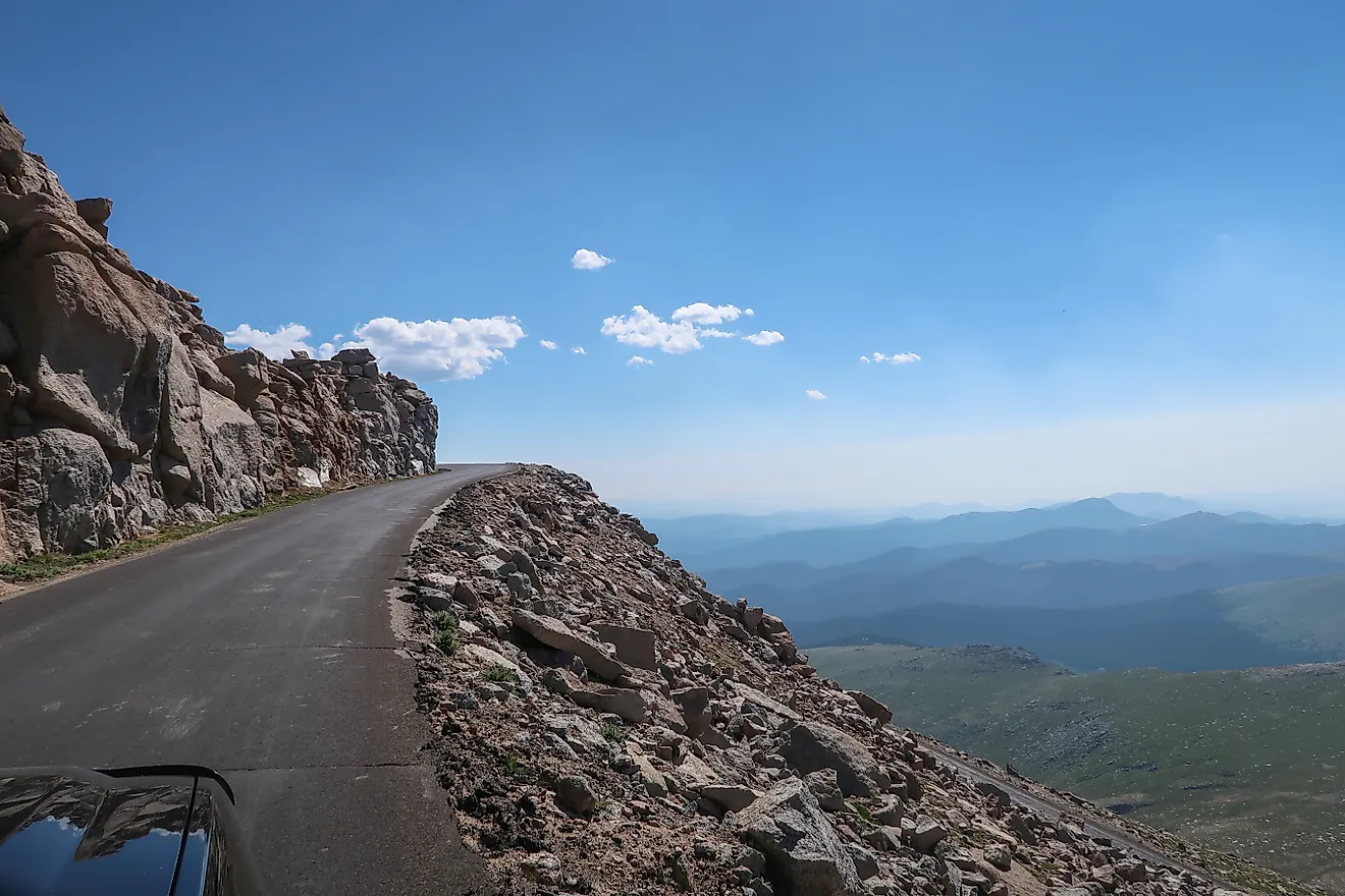
The Forest Service warns that lightning is common there every summer. Hikers on the 13-mile Barr Trail, which climbs roughly 7,400 feet from Manitou Springs, start early for that reason, while others arrive by the Pikes Peak Highway or the Broadmoor Manitou and Pikes Peak Cog Railway.
Spanish Peaks, Colorado

North of the Spanish Peaks, the east face of the Sangre de Cristo Mountains gets relatively little lightning, because the Wet Mountains block moisture from the plains. South of the twin summits, nothing stands in the way of the moisture buildup, and lightning is a common occurrence.
The Weather Service study identified four lightning hot spots in Colorado, and one covers the east- and southeast-facing slopes of the southern Sangre de Cristos, from the Spanish Peaks to the New Mexico border. Storms that build over these slopes drift east into warm, unstable air, which keeps them firing long after they leave the high ground.
West Spanish Peak, the high point of the Spanish Peaks Wilderness, reaches 13,626 feet, according to a U.S. Geological Survey report, and East Spanish Peak stands about 12,683 feet.
Unlike most of the Rocky Mountains around them, both are igneous intrusions that cooled underground long ago and were later exposed by erosion. Hundreds of narrow rock walls called dikes radiate from the peaks like spokes, and that geology earned them National Natural Landmark status in 1976.
An Indigenous name for the pair, commonly spelled Wahatoya, is usually translated as "breasts of the world." Congress designated that wilderness in 2000 in southern Colorado. The West Peak Trail (No. 1390) starts at 11,248-foot (3,428-meter) Cordova Pass and gains about 2,200 feet in roughly three miles. Most of that climb is on loose talus above treeline, with no shelter once a storm builds.
Fishers Peak, Colorado

East of the Sangre de Cristos, the same hot spot continues across Raton Mesa, the high tableland along the Colorado and New Mexico line. A mesa top heats quickly in summer sun, and on Raton Mesa, that heating draws air up the slopes until it converges near the state line. Storms drifting east off the southern Sangres hit the rising air and keep going.
The Weather Service study measured 4.0 to 5.0 ground flashes per square kilometer per year across the region. The mesa's high point is Fishers Peak, 9,633 feet, a flat-topped summit above Trinidad. The peak was located on private land until the state and conservation partners bought the property, and Fishers Peak State Park opened in October 2020 as Colorado's 42nd state park.
Hikers may find the summit trail comes with a scheduling problem. Its final mile closes every spring while a pair of peregrine falcons nests on the cliffs, and in 2026, Colorado Parks and Wildlife reopened it on August 1, in the middle of monsoon season.
The round trip covers about 16 miles with roughly 3,000 feet of gain. It's a climb labeled as strenuous, and the agency tells hikers to start early and plan for fast-changing weather.
Mount Baldy, Arizona

Arizona's many thunderstorms concentrate in its high country. A National Weather Service climatology counted as many as 80 thunderstorm days a year over the White Mountains. Compare that with less than ten along the lower Colorado River valley.
The same study found the state's highest ground-flash density along the Mogollon Rim, a long cliff line marking the southern edge of the Colorado Plateau, and over much of southeastern Arizona. Nearly all of the lightning activity falls between July and September, when the North American monsoon pulls moisture north.
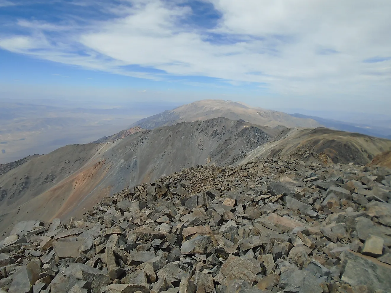
Mount Baldy, at 11,403 feet, is the highest point in eastern Arizona and the top of the volcanic White Mountains. The summit lies on the Fort Apache Indian Reservation. It is one of the White Mountain Apache Tribe's most sacred places, so it is closed to anyone who is not a tribal member.
Ramon Riley, the tribe's cultural resources director, told Arizona Highways that Apache people make an annual pilgrimage to the mountain. Hikers reach the boundary on the West Baldy Trail (No. 94) or East Baldy Trail (No. 95) in the Mount Baldy Wilderness. Each runs about seven miles one way and gains 2,100 to 2,400 feet before the two meet at a saddle near 11,200 feet. Most of the route stays in spruce and fir forest, so the exposure is concentrated at the top, where the trails break out of the trees.
South Baldy, New Mexico

South Baldy's lightning record is more about reliability than volume. At 10,783 feet, it is the highest point in the Magdalena Mountains and in Socorro County, about 18 miles west-southwest of Socorro and the Rio Grande. Summer storms here often form directly over the range, stay small and isolated, and remain in place for their entire life cycle.
That habit is why New Mexico Tech built the Langmuir Laboratory for Atmospheric Research near the summit in 1963 with National Science Foundation funds. A storm parked overhead can be measured with fixed instruments, something a moving storm does not allow.
In 1980, Congress set aside 31,000 acres of the Cibola National Forest in New Mexico as the Langmuir Research Site. The mountain's best-known result challenged a design dating to Benjamin Franklin. A team led by physicist Charles B. Moore mounted sharp-tipped lightning rods beside blunt-tipped ones on the summit.
Over eight years, 12 blunt rods took cloud-to-ground strikes and none of the sharp rods did, and the team concluded that moderately blunt rods are better strike receptors. A dirt road climbs to within a few hundred feet of the top, and a trail ascends Copper Canyon from Water Canyon on the range's northeast side.
Height Is Not The Deciding Factor
When tracking major lightning activity in mountainous regions, the common thread is supply, not altitude. The Colorado study did find that lightning strikes grow more frequent with elevation, especially above 10,000 feet, but only where low-level moisture can reach the slopes.
That is why the Sawatch Range, with 14 summits above 14,000 feet, records fewer ground strikes than the lower ridges near Pikes Peak and Raton Mesa, and why the San Luis Valley, ringed by mountains, is the least lightning-prone part of Colorado. Timing is consistent too.
In Colorado, 99.6 percent of ground strikes in the study fell between April 1 and October 31, with the peak in late July and early August as monsoon moisture spreads across the Rocky Mountains. By early October, statewide lightning activity becomes negligible. On all five mountains, the same afternoon that brings the most hikers to open summits also brings the most storms.