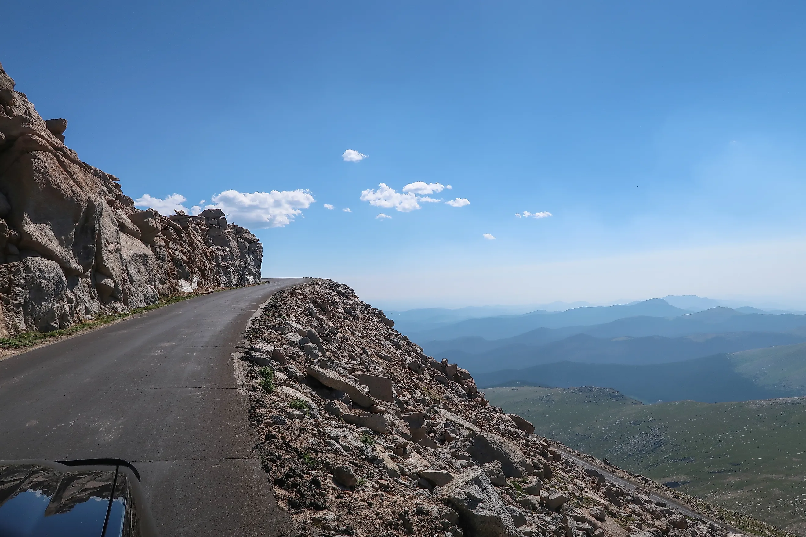
The Highest Mountain In America You Can Drive To The Top Of
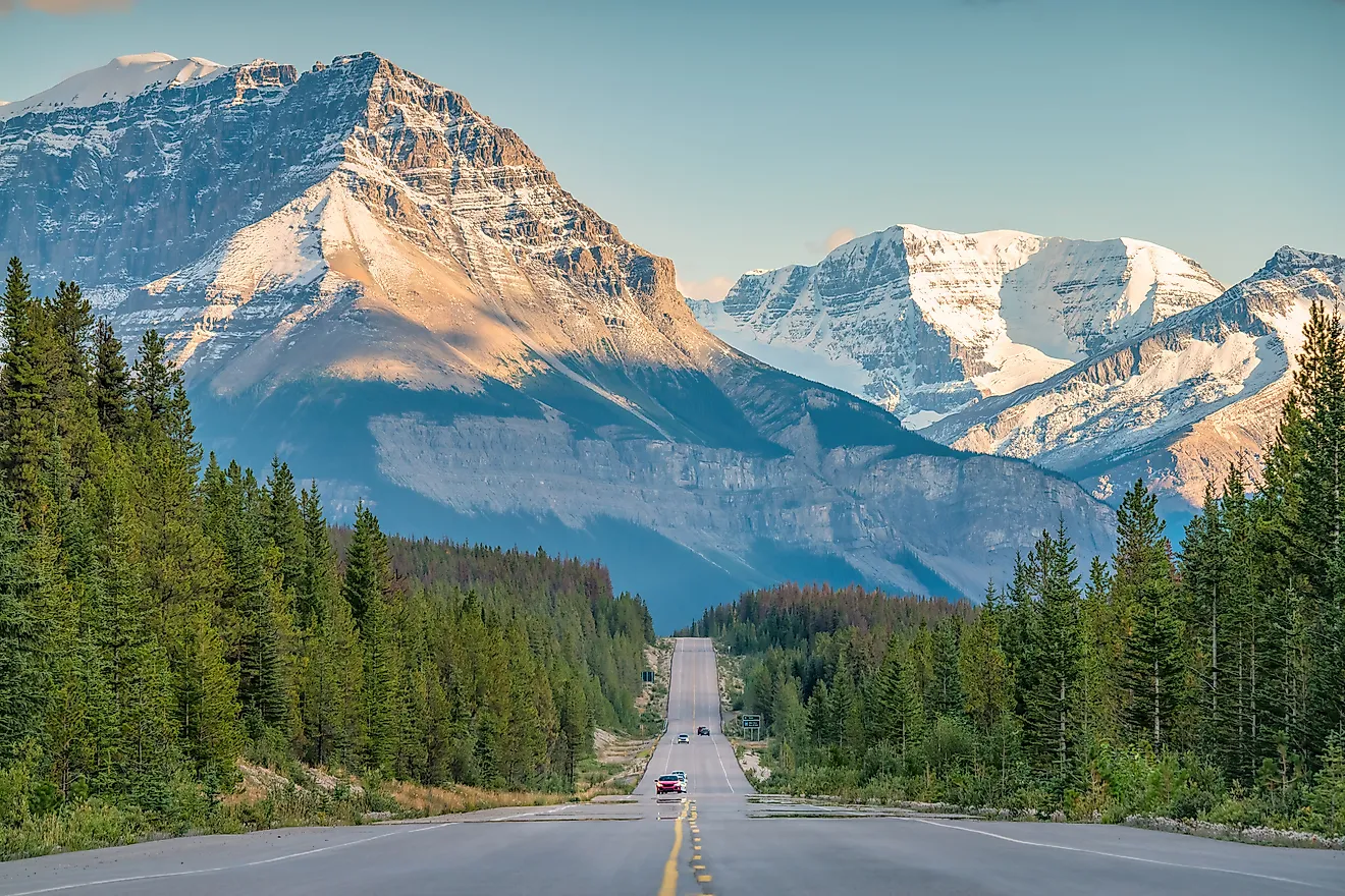
Not every American mountain requires a strenuous hike or potentially dangerous climb to reach the peak. In some, it's as simple as getting in your car and going for a drive.
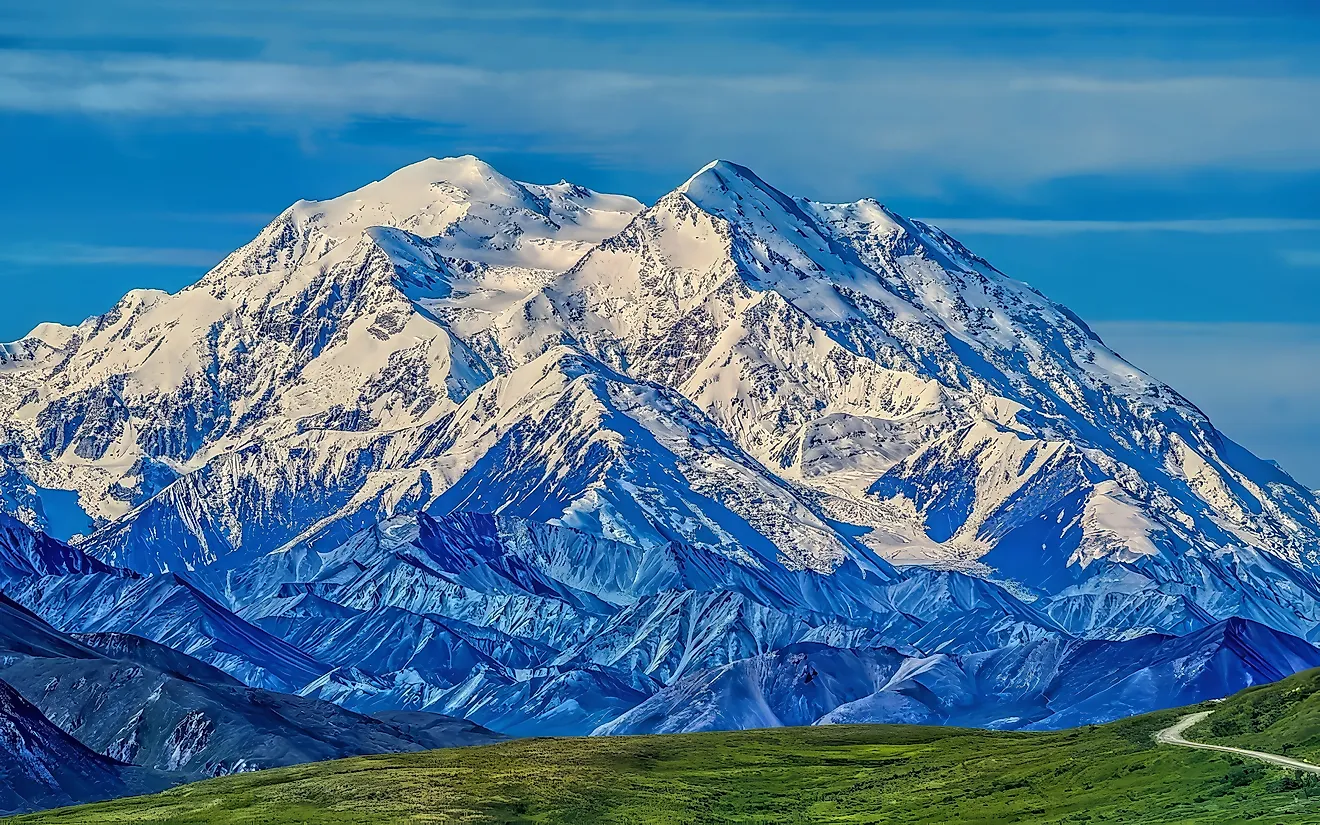
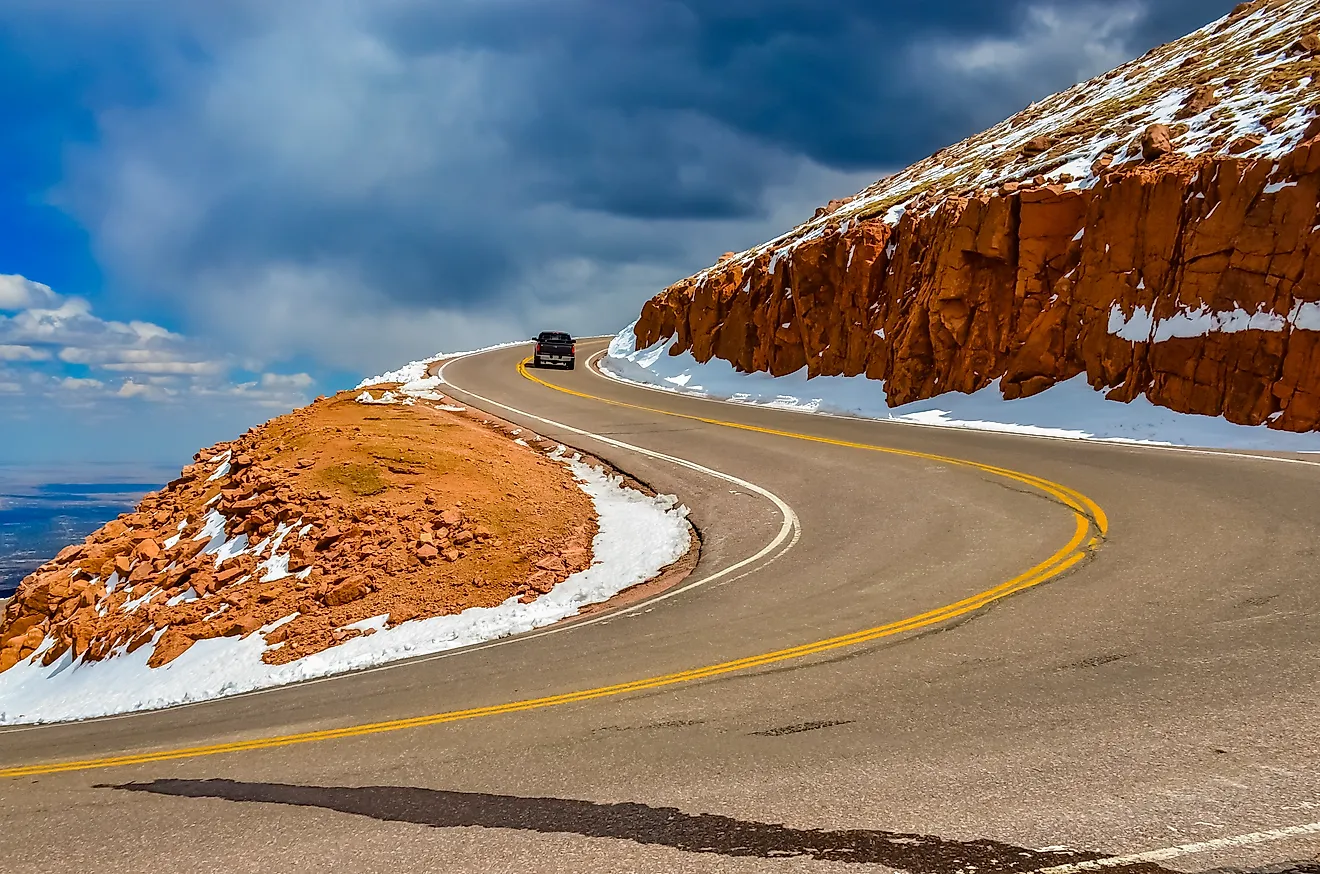
The highest mountain in America you can drive to the top of is one of Colorado's 14ers: Mount Blue Sky. The 14ers are a term used for every Rocky Mountain peak in Colorado that is 14,000 feet in elevation or higher, and Mount Blue Sky stands at an impressive 14,264 feet. The Mount Blue Sky Scenic Byway goes nearly all the way to the top at 14,130 feet, with a short dirt trail the rest of the way.
What other high mountains can you drive up?

The other highest mountain drive is just 15 feet shorter than Mount Blue Sky Scenic Byway: the 14,115-foot-tall Pikes Peak. It is accessible via the Pikes Peak Highway, which requires a timed entry permit to prevent congestion. The entrance begins at 7,400 feet in elevation before ascending about 6,700 feet to the summit.
East of the Mississippi, another road can take one close to the peak of Mount Mitchell, the tallest peak in the Appalachian Mountains at 6,684 feet. NC 128 branches off from the Blue Ridge Parkway at milepost 355.3 and goes up to a summit parking area at 6,578 feet, with the summit located via a path.
The scenic byway that makes this drive possible

As mentioned above, the Mount Blue Sky Scenic Byway is what makes this journey a possibility. The first white explorer to see the top of this mountain was painter Albert Bierstadt, who made it up here in 1863 and initially named it Mount Rosalie after Rosalie Ludlow, who later became his wife.
The mountain sits right on the edge of the Great Plains, meaning one can view it from up to 100 miles away. As early as 1912, nearby Denver aimed at creating a byway to allow drivers to reach the top of the mountain. The Denver Parks System was established that year to make the mountains accessible, increase property values, and to boost tourism. Initially, Colorado pushed for the creation of the Denver National Park in 1916, which would include the mountain, but the bill was blocked by Henry Graves, the chief forester of the U.S. Forest Service, because the service already controlled a great deal of land in the region.
Instead, the state of Colorado went to work on a different project, building a road to the summit. Beginning construction in the 1920s, the road would not reach the summit until 1931, as harsh weather conditions prevented work except during the summer.
Today, Mount Blue Sky Scenic Byway generally opens from late spring to early fall, weather permitting. Much like Pikes Peak, drivers have to purchase a ticket for timed vehicle entry on Recreation.gov.
Didn't it use to be called Mount Evans?

Mount Blue Sky was called Mount Evans in the 1870s, in honor of the territorial governor John Evans. It was officially given that title in 1895. John Evans, however, was a controversial figure in the history of the US and Native Americans.
He served as territorial governor from 1862 to 1865, but was forced to step down for his handling of the Sand Creek Massacre. This event took place on November 29, 1864, when American troops under the 1st and 3rd Colorado Cavalry regiments attacked a camp containing Arapaho and Cheyenne civilians, killing 230 people, including children and elderly victims.
Part of the reason for this massacre was due to two conflicting orders. John Evans had ordered friendly Native Americans to go to Fort Lyon for supplies, while Fort Lyon was under orders to kill any Native Americans that approached. In addition, John Evans had signed a proclamation earlier on August 11, 1864, ordering residents to pursue and kill any Native Americans who were considered hostile.
In light of all of these orders, Chief Black Kettle of the Cheyenne settled at the Big Sandy Creek, alongside 750 people. Unfortunately, many would die in the eight-hour attack by Colonel John Chivington and his men during the Sand Creek Massacre.
Following a federal investigation, the attack was condemned. John Evans himself denied any role in the massacre and made no attempt to apologize for it. According to Northwestern.edu, there is no evidence he knew about or planned the attack. Due to this pressure, he was forced to resign in 1865.
At the time of the opening of the scenic byway, it was still known as Mount Evans Scenic Byway. Between 2019 and 2020, various Native American groups called on the government to change the name, both because of John Evans' role in the massacre and to better reflect the Native American heritage in the region.
On September 15, 2023, the name Mount Blue Sky was chosen, as the Arapaho people are called the Blue Sky People and the Cheyenne regularly host a Blue Sky ceremony. This was made official by the Board on Geographic Names. It is worth noting that not every tribe agreed with this name change, as the Northern Cheyenne Tribe did not believe that the mountain should have the same name as their renewal of life ceremony.
Things to do on Mount Blue Sky

Other than seeing the summit, there are many stops to make along the drive up. For example, there is the Dos Chappell Nature Center, located in the Mount Goliath Natural Area. This center has exhibits of Rocky Mountain plants and animals, along with the 1.5-mile M. Walter Pesman Trail.
At 1,500 feet below the summit of Mount Blue Sky, there is the highest elevation city park in the U.S.: Summit Lake Park. Located at 12,800 feet elevation, it is owned and maintained by the city of Denver, and features a hiking trail where one can view tundra wildflowers and mountain goats licking salt off the rocks.
At the top of Mount Blue Sky, there are also three structures: the ruins of Crest House, which burned down in 1979 in a propane fire, the Meyer-Womble Observatory used for space observations, and the High Altitude Lab, which was built by the University of Denver in the 1930s to analyze cosmic rays.
This 14er is more than just a pretty landmark
Being able to drive up this high is an incredible experience, as the climate changes with every thousand feet. But Mount Blue Sky is more than just a pretty landmark, as it shows that names are by no means neutral. What we choose to name landmarks says a lot about what we honor, such as cultural and religious expressions or famous figures.
Although John Evans was admired enough by Colorado settlers to get his name on this mountain, his role in the Sand Creek Massacre led to the mountain being renamed to something that better fits the culture of the Arapaho and Cheyenne people who were targeted during that massacre. Drivers of the Mount Blue Sky Scenic Byway today have a chance to reflect not just on the engineering marvel of the road itself, but also the deep history behind this towering 14er.