The American Mountains With Old-Growth Forest
The National Park Service says a forest often needs 250 to 350 years before it takes on the layered structure of true old growth. Few American mountains still carry stands that old. Logging and fire has cleared most of them, so the survivors usually have a reason. Either a river that kept fire away, a valley set aside as a park, or a patch of slope that escaped a blaze. Four mountains show the pattern, and each has old-growth forest you can reach by a named trail. They are Mount Rainier and Mount Olympus in Washington, Mount LeConte in Tennessee and Giant Mountain in New York.
Mount Rainier, Washington

The Grove of the Patriarchs has been closed since November 2021, when flooding damaged the 1961 suspension bridge providing access to its island in the Ohanapecosh River. The National Park Service subsequently removed the bridge and began planning a replacement. Preparatory work was underway in October 2026, with construction planned during the 2027 and 2028 seasons and public access projected to resume in 2029. The 1.1-mile Grove of the Patriarchs Trail remains closed, but the nearby Eastside and Silver Falls trails provide access to other old-growth forest in the Ohanapecosh Valley. The grove's parking lot reopened in October 2026 following preliminary construction work, although winter road closures still affect access.
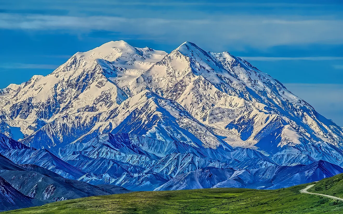
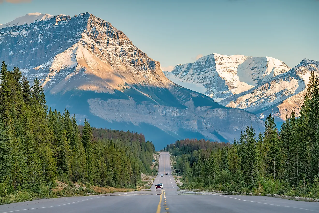
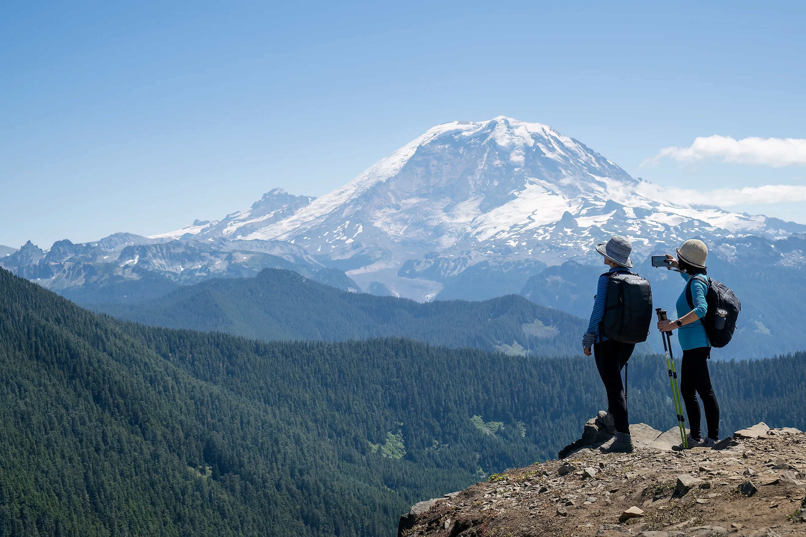
Mount Rainier rises 14,410 feet (4,392 meters), making it Washington's highest mountain and the tallest volcano in the Cascade Range. Its lower slopes contain Douglas-fir, western hemlock, and western redcedar, with some trees in the Grove of the Patriarchs estimated to be more than 1,000 years old. The surrounding river helped protect the island from fires that affected other forests. Mount Rainier became America's fifth national park on March 2, 1899, although the eastern forests were not added until 1931. The first documented ascent was made by Hazard Stevens and Philemon Van Trump on August 17, 1870, with an Indigenous guide named Sluiskin helping them reach their mountain camp. Indigenous communities have long maintained cultural connections to the mountain, with traditional names including Tahoma and Tacoma. Today, climbing its heavily glaciated summit requires technical mountaineering skills and a climbing permit.
Mount Olympus, Washington

Mount Olympus receives enough precipitation to support both extensive glaciers and the old-growth temperate rainforest growing thousands of feet below its summit. At 7,980 feet (2,432 meters), it is the highest mountain in Washington's Olympic Range. The Hoh River begins among its glaciers and descends roughly 7,000 feet on its 50-mile journey to the Pacific Ocean. Its valley supports enormous Sitka spruce, western hemlock, and western redcedar, with annual rainfall reaching approximately 12 to 14 feet. The National Park Service describes the Hoh Valley within the park as looking much as it did 5,000 years ago. The valley is also part of the ancestral homeland of the Hoh people, whose relationship with the river and surrounding landscape continues today.
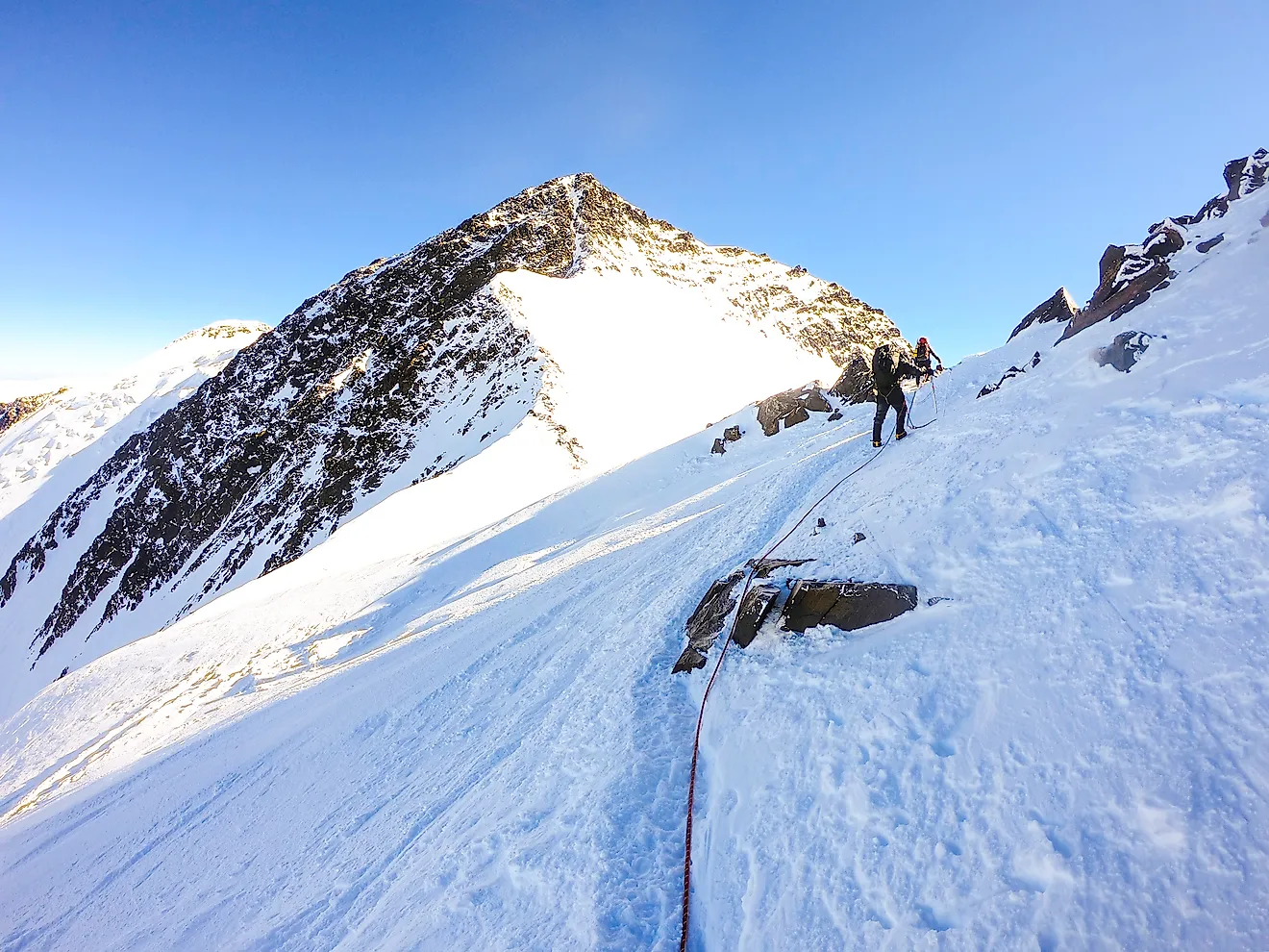
The Hoh River Trail follows the valley toward Mount Olympus, passing through old-growth forest before climbing into higher mountain terrain. The route to Glacier Meadows is approximately 17.4 miles one way, with thousands of feet of elevation gain. Beyond this point, reaching the summit requires another four to six miles of technical mountaineering, including travel across the Blue Glacier. The Park Service recommends this climb only for experienced mountaineers with glacier travel and crevasse rescue skills. Overnight wilderness permits are required, and camping spaces at Elk Lake and Glacier Meadows are limited. For a shorter route through old growth, the 0.8-mile Hall of Mosses Trail begins near the Hoh Rain Forest Visitor Center.
The first documented ascent of Mount Olympus' highest summit was made by a party led by L.A. Nelson on August 13, 1907. Two years later, President Theodore Roosevelt established Mount Olympus National Monument, protecting glaciers and important Roosevelt elk habitat. Olympic National Park followed in 1938, with the preservation of ancient forests among its central purposes. Access remains vulnerable to flooding. Upper Hoh Road, the only vehicle approach to the main rainforest trailheads, closed after severe damage in December 2024. It has since reopened and was listed as open by the National Park Service in October 2026.
Mount LeConte, Tennessee

Mount LeConte rises 5,301 feet above its lower base, making it what the National Park Service calls the tallest mountain in the eastern United States when measured by base-to-summit height. Its summit reaches 6,593 feet (2,010 meters), ranking third in Great Smoky Mountains National Park behind Kuwohi and Mount Guyot. The mountain lies entirely within Tennessee, near Gatlinburg, and its forests change considerably with elevation. The lower sections of the Alum Cave Trail pass through old-growth woodland, including hemlock and yellow birch, while higher elevations support spruce-fir forest.
The Alum Cave Trail is the shortest of five established hiking routes to Mount LeConte, covering approximately 10 to 11 miles round trip, depending on the endpoint. The trail begins beside Alum Cave Creek, passing through old growth before reaching Arch Rock, a natural tunnel, at about 1.4 miles. Alum Cave Bluffs follow at 2.3 miles, where an overhanging cliff rises approximately 80 feet above the trail. Beyond the bluffs, the route becomes considerably steeper, with rocky surfaces, exposed sections, and stairs. In winter, the Park Service warns of ice and falling icicles and recommends traction devices.
Near the summit stands LeConte Lodge, which began as a tent camp established by Paul Adams in 1925. The lodge is accessible only by hiking and remains the highest guest lodge in the eastern United States. Mount LeConte also became a personal landmark for Gracie McNichol, who reached the mountain 244 times, traveling both on foot and horseback. Her final trip came on her 92nd birthday.
Giant Mountain, New York

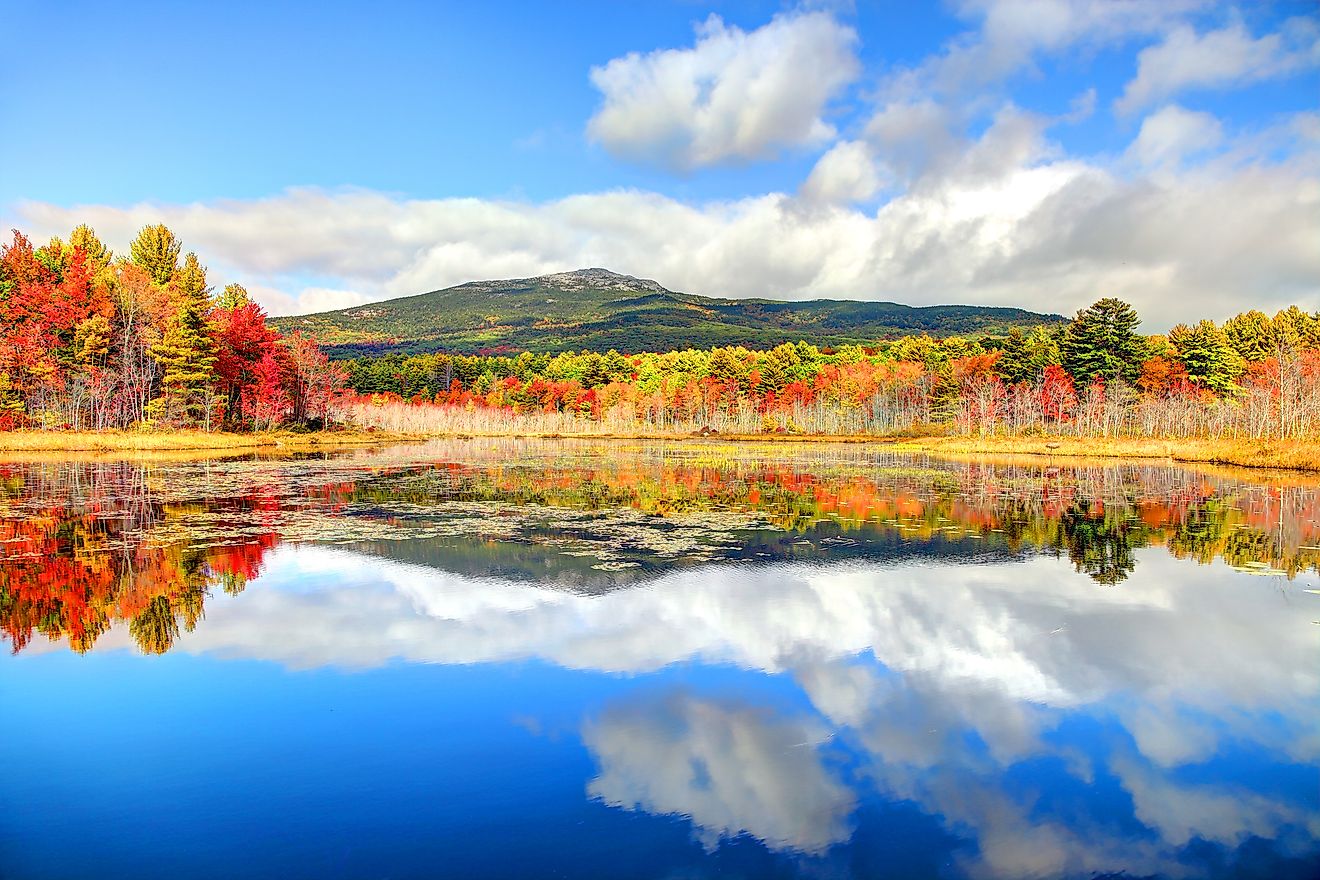
In 1903, a massive forest fire burned across much of what is now the Giant Mountain Wilderness in New York's Adirondacks. According to the Adirondack Park Agency, the fire stripped topsoil down to bare rock, leaving Giant Mountain and neighboring Rocky Peak Ridge practically bald. Most of the forest had to grow back, but pockets of white pine and eastern hemlock on the lower slopes escaped the worst of the fire. These surviving old-growth stands remain scattered among younger woodland, making Giant different from the more extensive ancient forests found in Washington and Tennessee.
Giant Mountain reaches 4,627 feet (1,410 meters), ranking as New York's 12th-highest peak. Its steep slopes and exposed rock are distinguishing features of the 23,000-acre Giant Mountain Wilderness. Two popular hiking routes begin along Route 73 near Keene. The Ridge Trail, also called the Zander Scott Trail, runs approximately three miles to the summit and gains 3,050 feet in elevation. It passes Giant's Washbowl, a small mountain pond about 0.7 miles from the trailhead. The Roaring Brook Trail is approximately 3.4 miles one way, gaining about 3,375 feet, with access to Roaring Brook Falls along the lower portion. Both routes involve sustained steep climbing, and sections of exposed bedrock can become slippery, particularly during wet or icy conditions.
Unlike the other mountains in this list, Giant's old-growth stands are not identified by the state as stops along a specific hiking trail. Their location is described more generally as scattered pockets on the lower slopes, so hikers should not assume that either summit route passes through them. The wilderness is open year-round, with designated trailhead parking and no general entrance fee. Its protection reflects New York's 1894 constitutional commitment to keeping state Forest Preserve lands "forever wild."
The Future Of These Old-Growth Forests
Rivers helped preserve Mount Rainier's ancient island grove, while abundant rainfall and federal protection safeguarded much of the Hoh Valley. Mount LeConte retains old-growth woodland along established trails, and Giant Mountain preserves scattered remnants of a forest largely destroyed by fire. Even protected forests remain vulnerable to flooding, wildfire, disease, and changing climate conditions. Their continued survival depends as much on the conditions around them as on the age of their oldest trees.