The Great Basin Desert
- The Great Basin Desert is a cold winter desert, and the 10th largest desert in the world.
- There are over 30 mountains in the Great Basin Desert whose summits are over 9,800 feet.
- The desert was first inhabited by the Great Basin tribes in 10,000 BCE.
The Great Basin Desert, as the name suggests, is an important part of the larger Great Basin situated in North America. The Great Basin is an expansive watershed area that covers much of Nevada, Utah, Oregon, Idaho, California, Wyoming, and Baja California in Mexico.

It is the second-largest desert in North America and the world’s 9th largest desert, slightly smaller than the Chihuahuan Desert. The desert spans about 190,000 square miles (492,000 square km), occupying much of Nevada and portions of Idaho, California, and Utah. To the south of the desert lie the Cascade Mountains and the Sierra Nevada. It is one of the four major deserts in North America (the other three being Chihuahuan, Sonoran, and Mojave). Unlike most deserts worldwide, The Great Basin Desert is a cold winter desert, meaning that it receives snow precipitation annually.

Contents:
- Topography
- Climate
- Drainage And Soils
- Plants And Animals
- Historical Significance
- Human Settlements
- Threats To The Environment And Wildlife
Topography

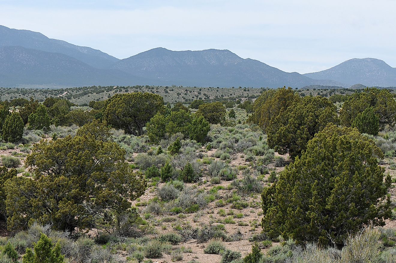
Because of its vastness and location within the Great Basin, the Great Basin Desert is characterized by unique, uneven, and varied surfaces. From deep valleys to high peaks, lakes, and flat plateaus, mountain range and basin topography characterize the desert. This desert has some of the most inhospitable terrains and extreme heat in North America.
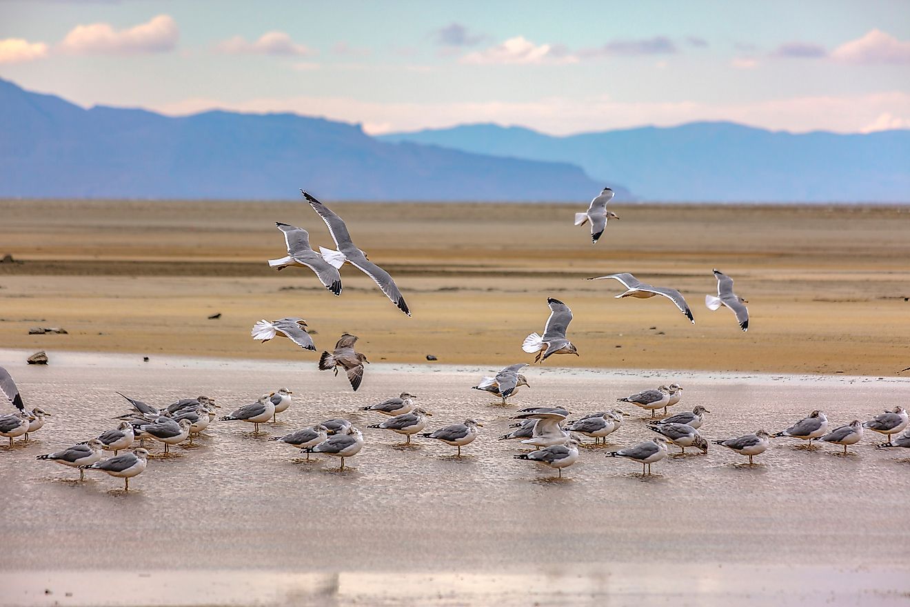
The desert is divided into several sub-regions, including salt desert, saline basins, playas, salt shrub basin, and sagebrush slopes, among other regions. The salty Great Basin Desert is characterized by salt flats, saline lakes, mudflats, and playas. The saline basins are dominated by shadscale, are mainly arid and experience colder winters than salt shrub basins. The Tonopah and Lahontan Playas are barren surfaces containing alkaline flats, mudflats, and saline lakes.
Besides the plains, wide valleys also characterize the Great Basin Desert. The Carbonated Sagebrush valleys, underlined by dolomite or limestone, surround the carbonate ranges of Eastern Nevada. Central Nevada contains high rolling valleys of at least 5,000 feet (1,525 meters), with parallel mountain ranges bordering the wide valleys. The desert also contains over 30 peaks with elevations of more than 9,800 feet (3,000 meters).
Climate

The world’s deserts are broadly divided into four different categories: polar deserts, cold winter deserts, subtropical deserts, and cool coastal deserts. The Great Basin Desert falls under the cold winter deserts. It is characterized by cold winters and long, dry summers and can receive a substantial amount of snow in a year.
Although the Great Basin Desert has a varied topography, with a wide elevation range between the basins and mountaintops, the wide desert terrain shares a climate of extreme conditions throughout the year. Summers are generally dry and hot, while winters are cold and snowy. Temperatures can rises as high as 90 degrees Fahrenheit (32 Celsius) during the days and fall to 40 degrees Fahrenheit (4 Celsius) at night. However, because the Great Desert is highly mountainous, the weather can vary greatly. Temperatures vary by elevation, such that for every 1000-foot rise, the temperature falls by 3.6 degrees Fahrenheit.
Eastern California’s Sierra Nevada plays an essential role in the amount of precipitation the desert receives. The mountain range rises over 14,000 feet (4,270 meters) above sea level, casting a rain shadow on the region. It obstructs the precipitation coming from the Pacific Ocean from reaching the east side of the mountains. Only very little moisture reaches the desert, leading to an annual precipitation of 9-12 inches.
Drainage And Soils
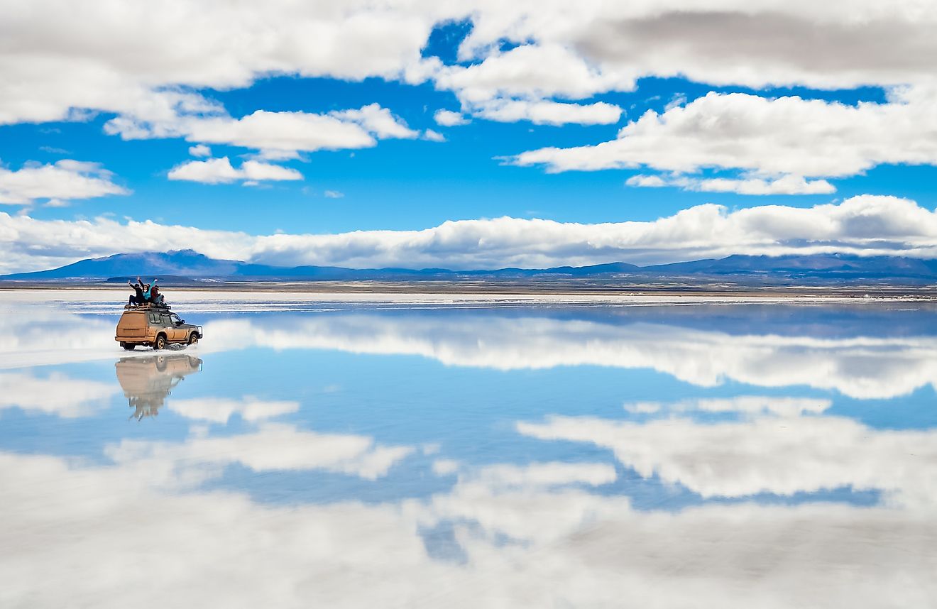
The Great Basin Desert receives very little precipitation compared to other parts of North America. Since the Sierra Nevada blocks most of the precipitation from the Pacific Ocean, the little moisture that reaches the desert falls as rain and snow, particularly on higher elevations, such as the mountainous areas. However, since the precipitation is very little, the desert is drained internally. That is, all the precipitation evaporates, flows into saline lakes, or is absorbed into the soil. No precipitation drains to the Pacific or the Atlantic Ocean. The saline lakes within the desert are mainly the remnants of Pleistocene-era lakes Lahontan and Bonneville from before the last ice age.
The desert plain is mainly covered by saline soil, formed when the surface runoff evaporates due to high temperatures. Although soil salinity is not conducive for most plants and animals, some species have adapted to living in the desert. Dolomites or limestone underline the rolling valleys. However, alluvial fans, mostly from the mountain ranges, often fill up these valleys, bringing in coarse stone-like sediments. Clay soil also dominates sections of the desert, especially the salt desert sub-regions.
Plants And Animals

The desert’s basin and mountain range topography has resulted in impressive and rich biodiversity despite the harsh and inhospitable climate. However, the size and type of biodiversity vary considerably, depending on the climate, soil type, and elevation. From the mountain summits down into the valleys, plant and animal species combinations keep changing.
Because of its vastness, the Great Basin Desert has hundreds of plant species. In the lower bottoms of the valleys, the soil is mainly saline, with shadscale being the dominant plant. The evergreen shrub is often accompanied by saltgrass, iodine bush, green rabbitbrush, and four-winged saltbush. As elevation increases and the soil becomes less salinized, the dominant plant transitions to sagebrush.
With a further rise in elevation (between 6,000 and 8,000 feet), the vegetation changes to pinyon pine and juniper. Since some of the mountain ranges in the desert are significantly high, they accommodate montane and alpine plantlife. The montane forests contain mainly Douglas fir, White fir, limber pine, and mountain mahogany.
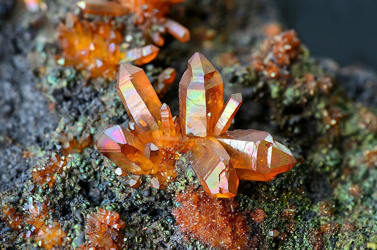
The Great Basin of which this desert is a part is home to about 70% of all mammal species in North America. However, many of these mammals are restricted to more favorable parts of the Basin. Some of the mammals that can be found in the desert include mountain lions, Jackrabbits, Packrats, elk, ring-tailed cats, and sagebrush voles. Besides mammals, the desert is also home to some reptile species, including horned lizards and rattlesnakes.
Historical Significance
The Great Basin Desert is one of the largest cold winter deserts in the world, formed during the prehistoric period. It is an important part of the Great Basin, the largest endorheic watershed in North America. The Great Basin Indigenous tribes inhabited the region from as early as 10,000 BCE. The desert and the larger basin was inhabited for thousands of years by tribes such as the Ute, Shoshone, Northern Paiute, and Mono.
Towards the end of the 17th century and the beginning of the 18th century, European exploration began. The European explorers, in collaboration with the locals, built mining camps, including those used by Absalom Lehman, who discovered the Lehman caves.

The Great Basin Desert has historically drawn tourists from all parts of the world. Being the second-largest desert in the US, tourists have visited the region to sample its attractions and conduct research. The desert attracts over 100,000 tourists annually, with the major attraction being the Lehman Caves, which can only be explored in an organized tour. Besides that, tourists also visit the desert to hike on trails, camp, ski, and snowshoe.
Human Settlements

Humans have played an integral role in shaping the history and landscape of the Great Basin Desert for thousands of years. The first settlement can be traced back to around 10,000 BCE when Indigenous tribes settled in the region, and they inhabited the desert region for thousands of years before the arrival of the Europeans. During the pre-European settlement, the locals engaged in numerous activities, including homesteading, livestock keeping, and farming. These activities have had a great impact on the desert’s biodiversity. Europeans began settling in the region as early as the 18th century. After their arrival, mining exploration began. Several mining camps were built throughout the Great Basin.
Today, the desert’s population density has greatly reduced partly due to the federal government’s effort to preserve the area and the inhospitable weather conditions. About 77% of the desert is a protected area with restricted access and use. However, a small population still inhabits protected areas, and the Nevada cities of Reno and Carson City are within the desert region. Rail lines and roads traverse the desert, including Nevada State Route 375 and the US Route 6.
Threats To The Environment And Wildlife

Wildlife in the Great Basin Desert has changed over the years in response to several factors, including human activities and climate. However, the rate of change since European arrival has been rapid and unprecedented. Human activities, both past and present, have contributed to significant modification and restructuring of the ecosystem. Widespread destruction of the environment and wildlife is a major concern, particularly because the Great Basin is home to hundreds of plants and animal species.
Although several human activities have led to environmental degradation and wildlife loss, livestock grazing and mining have been the primary culprits. Livestock grazing, especially sheep and cattle, has led to the destruction of native plant species. It accounts for up to 98% of the degradation of the sagebrush steppe ecosystem. When mining within the Great Basin began, wood was the primary source of fuel for the furnace. Miners cut down trees to provide wood for the furnace. However, mining no longer takes place in the desert.
Besides human activities, an invasive grass known as cheatgrass (Bromus tectorum) is a primary threat to the sagebrush shrubs. The grass has replaced some of the indigenous grass species. Additionally, the grass is highly flammable when dry, posing a risk of wildfire in the desert.