The Ancient Lakes That Once Covered the American West
The American West looked shockingly different during the last Ice Age. It's hard to imagine today, but large regions were once covered by prehistoric lakes, while mammoths and other Ice Age mammals grazed along their shores. The enormous waters of Lake Bonneville once covered much of what is now Salt Lake City, and epic floods reshaped the landscape of Montana. This is the story of the ancient lakes that once covered the American West.
Lake Bonneville
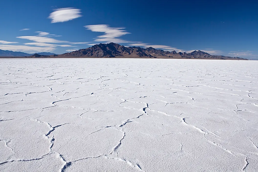
One of the largest ancient lakes in North America, Lake Bonneville once covered much of present-day Utah, as well as parts of Idaho and Nevada. It formed around 30,000 years ago. At its highest point around 17,000 years ago, Lake Bonneville stretched across roughly 20,000 square miles (51,800 km²) and reached depths of about 1,000 feet (305 m) in some places. If it still existed today, it would cover most of Salt Lake City.
Lake Bonneville formed within the Great Basin, a vast region where rivers and streams flow into low-lying basins and have no outlet to the ocean. Instead of flowing away, water either evaporates, soaks into the ground, or collects in lakes. Around 55,000 years ago, volcanic activity diverted the Bear River into the Great Basin. Combined with the cooler, wetter climate of the last Ice Age, this allowed Lake Bonneville to gradually expand. Lower temperatures reduced evaporation, while increased rainfall and melting glaciers added even more water.
The enormous weight of the lake was so great that it pushed the Earth's crust downward by around 250 feet (76 m). At its peak, mountain ranges rose above the water like islands, while glaciers and deep canyons overlooked the vast inland sea. Lake Bonneville supported a lively ecosystem. Its waters were home to large trout, and wetlands around its shores attracted birds and other wildlife. Mammoths, giant ground sloths, wolves, and saber-toothed cats also lived nearby.
Around 18,000 years ago, Lake Bonneville began to disappear after the Bonneville Flood, when water suddenly spilled north into the Snake River basin. The lake level dropped by around 400 feet (122 m), and as the climate became warmer and drier, the remaining water gradually evaporated. Today, the Great Salt Lake, Utah Lake, and Sevier Lake are all fragments of this once-enormous Ice Age lake.
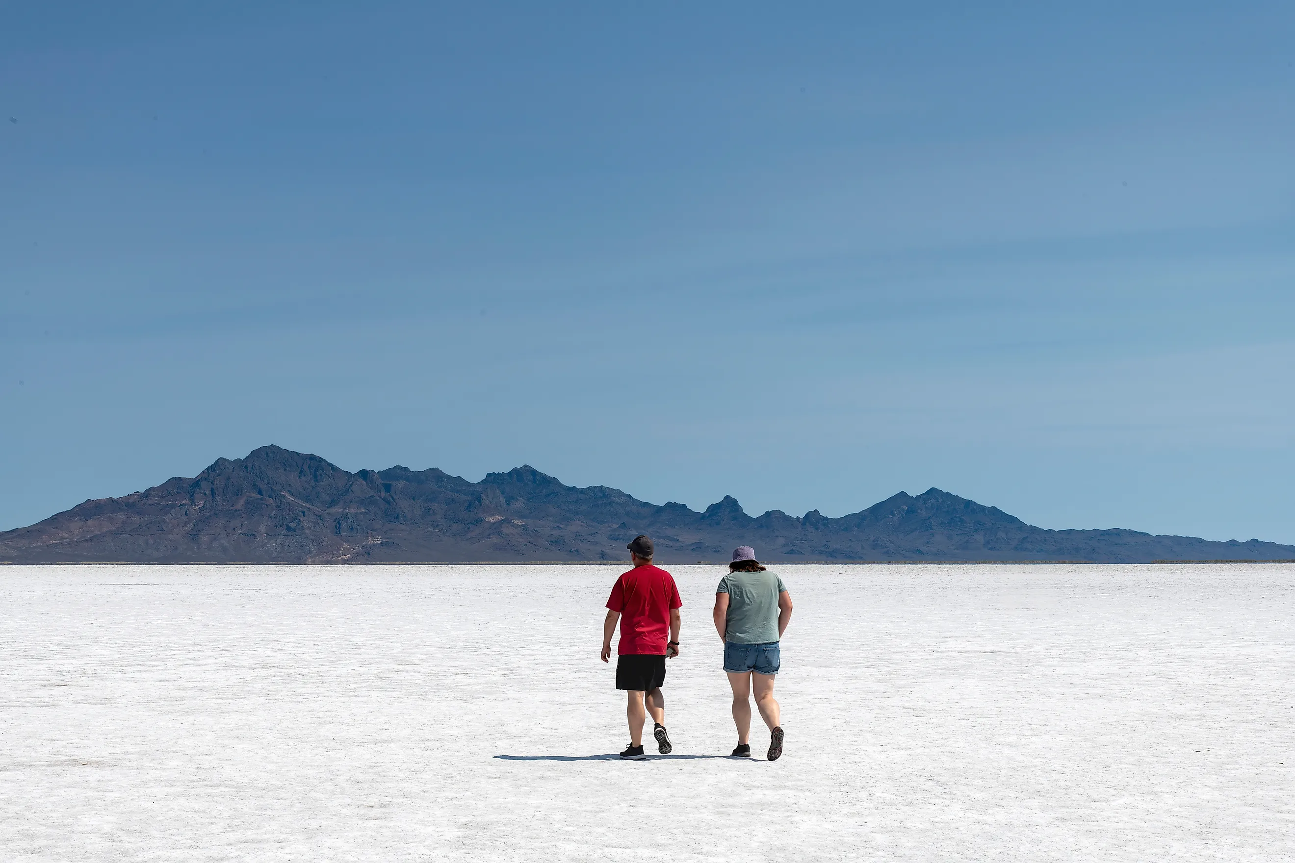
Lake Bonneville left behind some of Utah's most unique landscapes. The Bonneville Salt Flats formed as the ancient lake evaporated, leaving behind thick layers of salt that now create a vast, brilliant-white landscape. Visitors can walk across the seemingly endless salt flats, which have been featured in blockbuster movies like Pirates of the Caribbean due to their otherworldly vibes. Hikers can also follow the Bonneville Shoreline Trail, which traces the former edge of the Ice Age lake high above modern-day Salt Lake City.
Lake Lahontan

Lake Lahontan once covered much of western Nevada, with its waters stretching into northeastern California and southern Oregon. At its peak around 12,700 years ago, it covered more than 8,500 square miles (22,000 square kilometers), making it one of the largest Ice Age lakes in the Great Basin. Like Lake Bonneville, it formed because rivers flowing into the basin had no outlet to the ocean.
As the Ice Age ended and the climate began getting warmer, Lake Lahontan started drying up as its waters evaporated, and by 9,000 years ago most of this vast lake had vanished. Today, Pyramid Lake and Walker Lake are the last consistent surviving remnants of Lake Lahontan.
One of Lake Lahontan's most striking legacies is its towering limestone tufa formations. These unusual rock towers formed underwater as calcium-rich spring water mixed with the lake's alkaline water. Visitors can explore these formations at Lahontan State Recreation Area and Pyramid Lake.
Lake Missoula

Unlike most ancient lakes of the American West, Lake Missoula was not held up by surrounding mountains but rather by a gigantic wall of ice. The lake stretched across roughly 3,000 square miles (7,800 km²) and reached depths of around 2,000 feet (610 m). At its peak, much of western Montana lay beneath this enormous ancient lake.
Around 15,000 to 20,000 years ago during the last Ice Age, huge glaciers advanced and retreated across the landscape. A vast ice sheet stretched across Alaska and Canada, and part of it, known as the Cordilleran Ice Sheet, advanced into northern Idaho and western Montana, blocking the Clark Fork River in present-day Montana. As the glacier moved into place, water from nearby rivers became trapped behind it, creating Lake Missoula. The ice dam was more than 2,000 feet (610 m) high and around 30 miles (48 km) wide. It blocked the river, but not forever. Eventually, the immense pressure of the water against the ice dam caused it to fail, triggering the epic Missoula Floods.
During each flood, hundreds of cubic miles of water rushed across Idaho and Washington at speeds of up to 80 miles per hour (130 km/h), making them among the largest floods known to have occurred on Earth. A mountain of water surged across the landscape, reshaping it in a matter of hours. Scientists estimate that the lake filled and drained at least 40 times over a few thousand years, with each cycle ending in another catastrophic flood.
Shorelines from ancient Lake Missoula can still be seen on hillsides around Missoula, Montana, where hikers can follow the high-water marks. At the height of the lake, many of the surrounding mountains would have appeared as little more than islands rising above the water.
Lake Manly

Today, Death Valley is one of the hottest and driest places on Earth, but during the last Ice Age it looked very different. Around 20,000 years ago, a vast freshwater lake known as Lake Manly filled much of the valley. At its highest level, the lake was about 90 miles (145 km) long, 6 to 11 miles wide, and reached depths of approximately 600 feet (180 m).
Fed by rainfall, snowmelt, and rivers flowing from the surrounding mountains, Lake Manly transformed Death Valley into a thriving landscape. Fish swam in its waters, and wetlands lining the shoreline attracted birds and mammals. The cooler temperatures of the Ice Age dramatically reduced evaporation, allowing the lake to persist for thousands of years.
As the climate warmed, Lake Manly gradually dried up. Today, the valley is usually completely dry because water evaporates so quickly, although temporary lakes can occasionally reappear after periods of exceptionally heavy rainfall. Visitors to Death Valley National Park can still see ancient shorelines etched into the surrounding mountains, revealing just how dramatically the landscape has changed over thousands of years.
Lake Chewaucan

Lake Chewaucan once covered much of south-central Oregon during the last Ice Age. At its largest around 15,000 years ago, it stretched across approximately 480 square miles (1,240 km²) and was around 375 feet deep.
The lake supported fish, birds, and other wildlife, and mammals grazed on the surrounding grasslands. As temperatures rose after the Ice Age ended, the lake gradually shrank, eventually leaving behind only a handful of smaller lakes.
Today, Summer Lake and Abert Lake serve as remnants of Lake Chewaucan. Ancient shorelines remain clearly visible on nearby hillsides, while the Summer Lake Wildlife Area is one of Oregon's most important birding areas.
Lake Cahuilla

Many years ago, much of Indio, California, was underwater. Unlike some other ancient lakes of the American West, Lake Cahuilla did not depend on Ice Age rainfall. Instead, it formed whenever the Colorado River naturally changed course and flowed into California's Salton Basin rather than the Gulf of California. Over thousands of years, this process repeatedly created a freshwater lake covering more than 2,000 square miles (5,200 km²).
The lake became an important resource for the Cahuilla people, who established settlements along its shoreline. You can learn more about these ancient people at the Agua Caliente Museum.
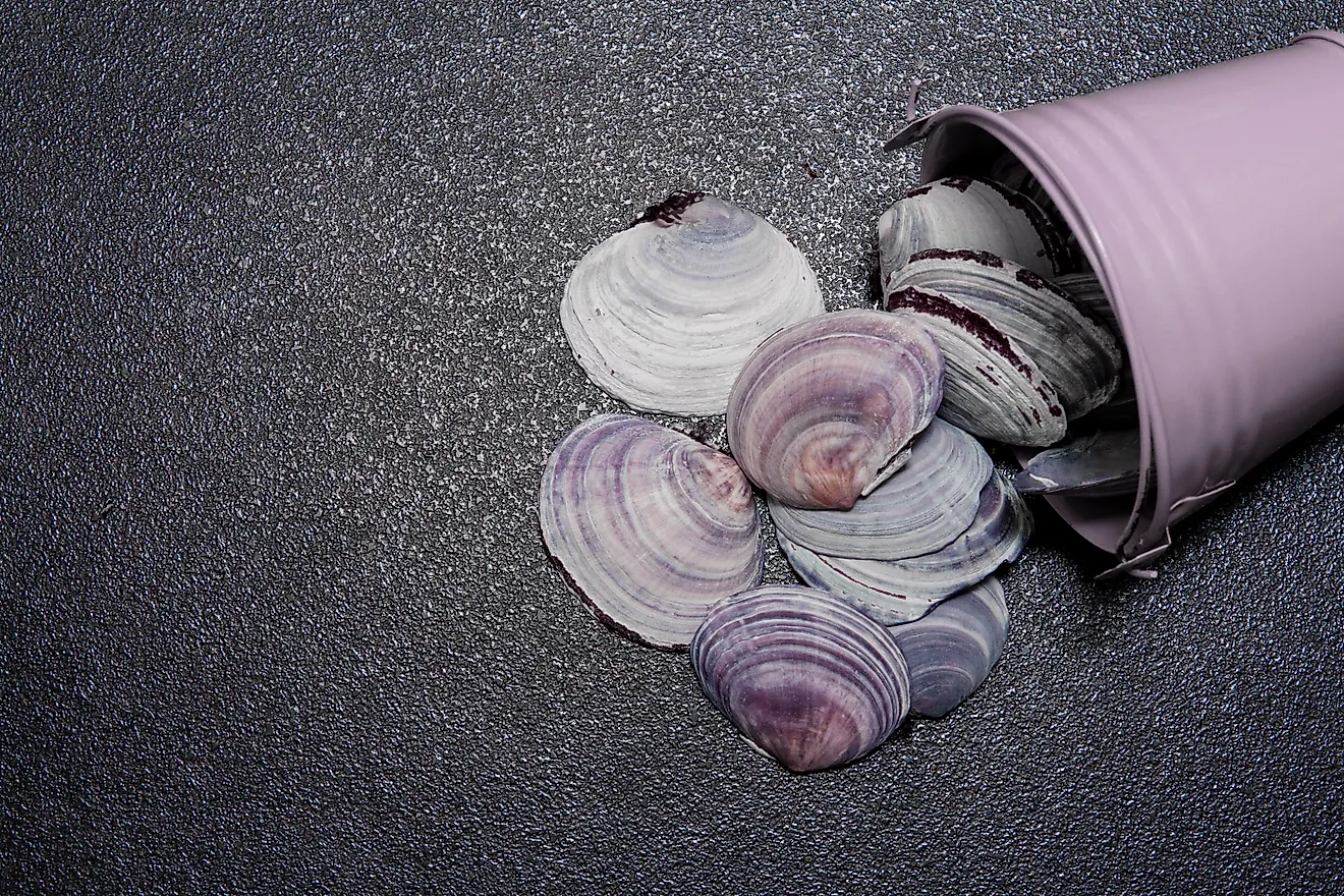
Unlike many other ancient lakes, Lake Cahuilla repeatedly filled and dried up until just a few hundred years ago because sediment from the Colorado River continually altered its course. The most recent time the lake was filled may have been around AD 1700. You can still find seashells around Coachella, Indio, and Thermal, serving as a reminder of Lake Cahuilla. Today, the smaller Salton Sea occupies part of the same basin.
A Landscape Transformed
It's hard to imagine Death Valley covered by the waters of Lake Manly or giant sloths and mammoths wandering the wetlands of Lake Bonneville. Yet the American West was a very different place between 30,000 and 10,000 years ago. Many of these ancient lakes have long since dried up or shrunk into smaller remnants, but they left a lasting mark on the landscape which ensures they won't be forgotten.