Maps of Nebraska
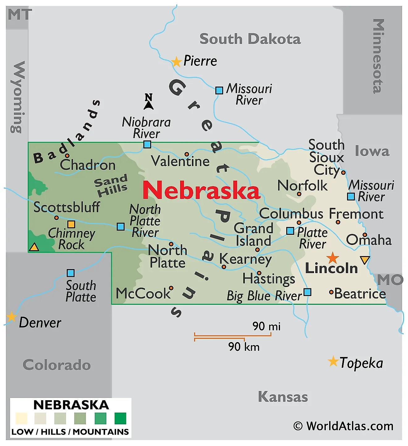
Nebraska is located in the Midwestern United States, sharing borders with South Dakota to the north, Iowa and Missouri to the east, Kansas to the south, and Colorado and Wyoming to the west. It covers an area of 77,358 mi2 (200,356 km2), ranking as the 16th largest state in the United States.
Nebraska's geography is divisible into the Great Plains, the Sand Hills, and the Badlands:
Great Plains: The eastern part of Nebraska forms a segment of the Great Plains of North America, which extend from the Rocky Mountains and spread southward from Canada through Nebraska into Texas. This region in Nebraska features rolling hills and plains predominantly used for agriculture. The terrain is marked by numerous small rivers and streams, creating a network of waterways that crisscross the farmland. The Great Plains region transitions from a humid continental climate in the east to a semi-arid steppe in the southwest. The Platte River, a major tributary of the Missouri River, dominates this area, draining a large portion of Nebraska and the Great Plains.
Sand Hills: In western Nebraska, the geography is dominated by the Sand Hills, an extensive area of rolling sand dunes formed by wind and mostly covered by vegetation. This region is distinct in its topography and is one of the largest dune formations in the Western Hemisphere. The Sand Hills are a stark contrast to the otherwise flat landscape of the Great Plains, and Panorama Point, Nebraska's highest point, is located here at an elevation of 5,429 feet (1,655 meters).
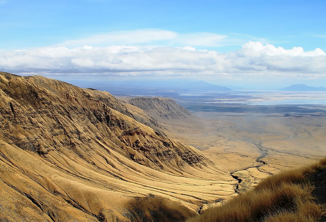
Badlands: The northwestern corner of Nebraska is home to a small but significant area known as The Badlands. This region features unusual formations of sandstone and clay, which extend into South Dakota. The Badlands are characterized by their stark and eroded landscape.
Major Bodies of Water: Nebraska's major bodies of water include the Missouri River, which forms its eastern border with Iowa, Missouri, and South Dakota, and the Platte River system. In addition to these natural rivers, Nebraska also has artificially created reservoirs like Lake McConaughy.
Counties Map
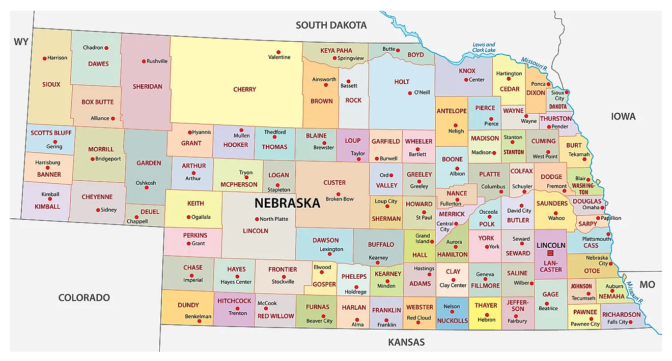
The State of Nebraska is divided into 93 counties. In alphabetical order, these counties are: Adams, Antelope, Arthur, Banner, Blaine, Boone, Box Butte, Boyd, Brown, Buffalo, Burt, Butler, Cass, Cedar, Chase, Cherry, Cheyenne, Clay, Colfax, Cuming, Custer, Dakota, Dawes, Dawson, Deuel, Dixon, Dodge, Douglas, Dundy, Fillmore, Franklin, Frontier, Furnas, Gage, Garden, Garfield, Gosper, Grant, Greeley, Hall, Hamilton, Harlan, Hayes, Hitchcock, Holt, Hooker, Howard, Jefferson, Johnson, Kearney, Keith, Keya Paha, Kimball, Knox, Lancaster, Lincoln, Logan, Loup, Madison, McPherson, Merrick, Morrill, Nance, Nemaha, Nuckolls, Otoe, Pawnee, Perkins, Phelps, Pierce, Platte, Polk, Red Willow, Richardson, Rock, Saline, Sarpy, Saunders, Scotts Bluff, Seward, Sheridan, Sherman, Sioux, Stanton, Thayer, Thomas, Thurston, Valley, Washington, Wayne, Webster, Wheeler, and York.
With an area of 200,356 sq. km, Nebraska is the 16th largest, the 37th most populous, and the only triply landlocked state in the USA. Located in the southeastern part of the state is Lincoln – the capital city of Nebraska. It serves as an administrative, cultural, commercial, financial, education, and health-care center of the state. It also hosts the country’s 2nd tallest capitol building. Located in the eastern part of the state, on the west bank of the Missouri River is Omaha – the largest and the most populated city in Nebraska. It houses the headquarters of four Fortune 500 and five Fortune 1000 companies; as well as the offices of some major firms like Gallup Organization, DLR Group, and HDR Inc.
Where is Nebraska?
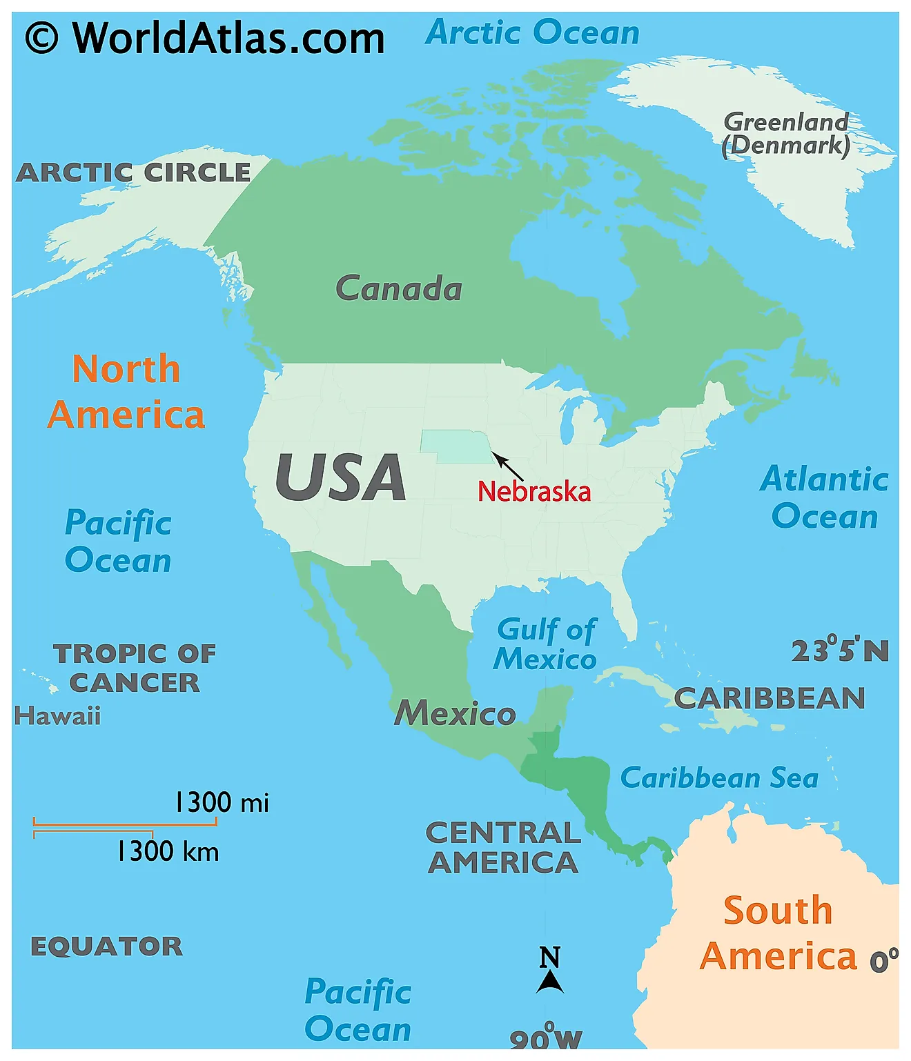
The State of Nebraska is located in the central (Midwest) region of the United States. The triply-landlocked state of Nebraska is bordered by the states of Colorado in the southwest; by Wyoming in the west; by South Dakota in the north, by Iowa in the east, by Missouri in the southeast, and by Kansas in the south. The Missouri River flows along the state’s entire eastern border.
Regional Maps: Map of North America
Outline Map of Nebraska
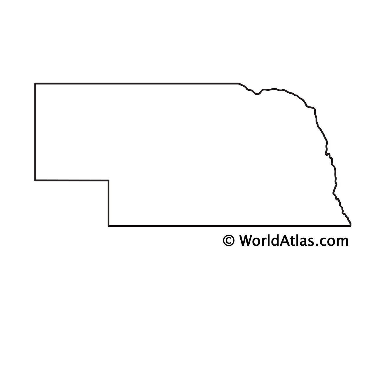
The above blank map represents the State of Nebraska, located in the central (Midwest) region of the United States. The above map can be downloaded, printed and used for geography education purposes like map-pointing and coloring activities.
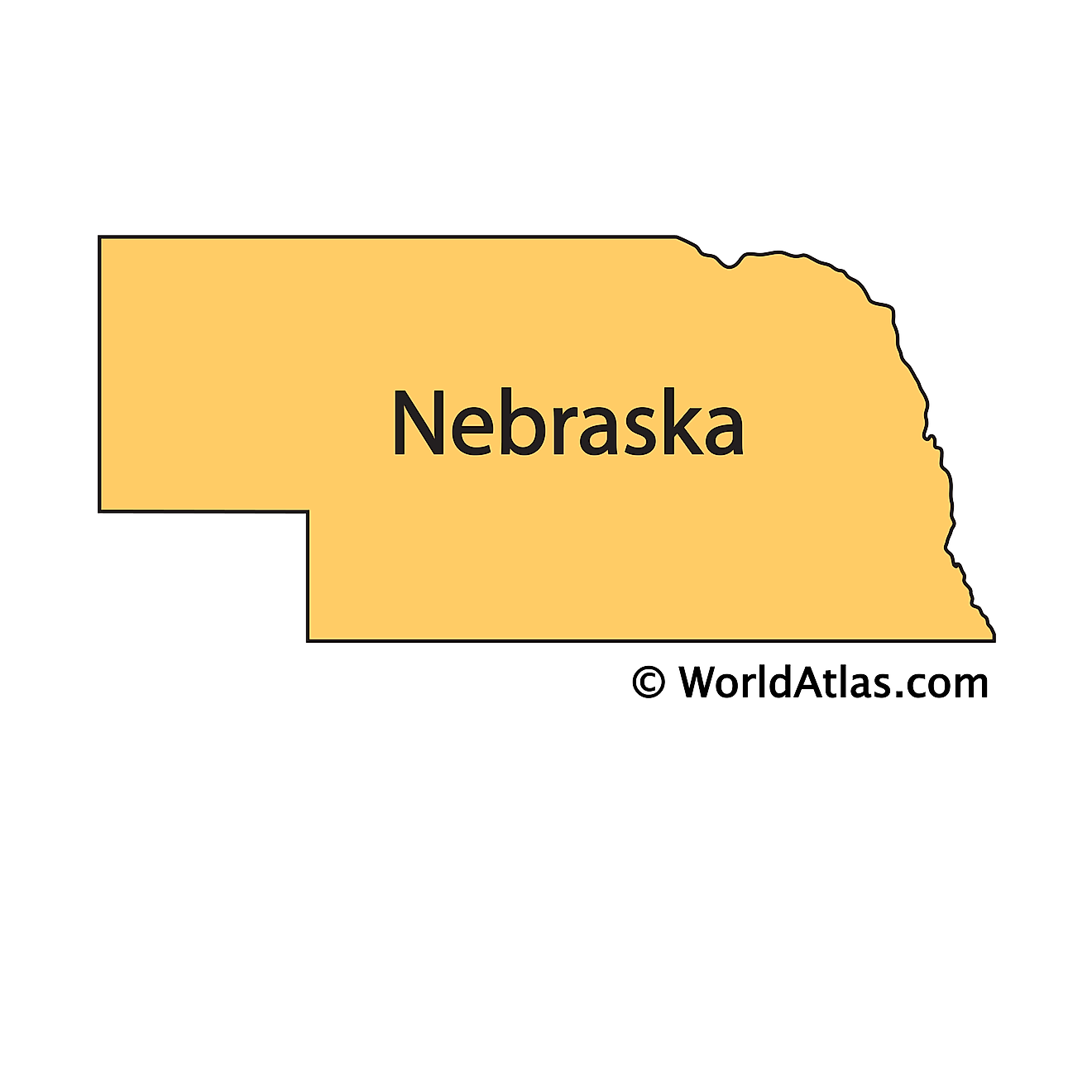
The above outline map represents the State of Nebraska, located in the central (Midwest) region of the United States. It is the only triply landlocked state in the USA.
Key Facts
| Legal Name | State of Nebraska |
|---|---|
| ISO 3166 Code | US-NE |
| Capital City | Lincoln |
| Largest City |
Omaha (859,770) |
This page was last updated on January 23, 2024
