The Biggest National Forests In The United States
One national forest in southeast Alaska is larger than ten U.S. states. The Tongass covers nearly 16.8 million acres of temperate rainforest, fjords, and glaciers, and it towers over everything else the government manages. It also anchors a system most Americans live beside without thinking about it: 154 national forests covering about 188 million acres, part of a 193-million-acre National Forest System the U.S. Forest Service runs across 43 states. Most states have at least one national forest; a handful, including Hawaii, Connecticut, and Delaware, have none. Ranked by size, the biggest forests cluster heavily in the West and in Alaska, and the distance between first place and the rest is enormous. Here is how the 20 largest stack up, and how the system got this big.
From Forest Reserves to National Forests

The system did not begin with foresters. In 1876, Congress hired a single special agent to find out how fast the country was cutting down its woods. The real turn came in 1891, when President Benjamin Harrison signed the Forest Reserve Act and started carving "forest reserves" out of the public domain, managed at first by the Department of the Interior. Control did not pass to the new U.S. Forest Service until 1905, when the Transfer Act moved the reserves to the Department of Agriculture and Gifford Pinchot became the agency's first chief. President Theodore Roosevelt, a Pinchot ally, then more than doubled the protected acreage before he left office. The reserves were not renamed "national forests" until 1907. By 1910, the system already covered roughly 172 million acres.
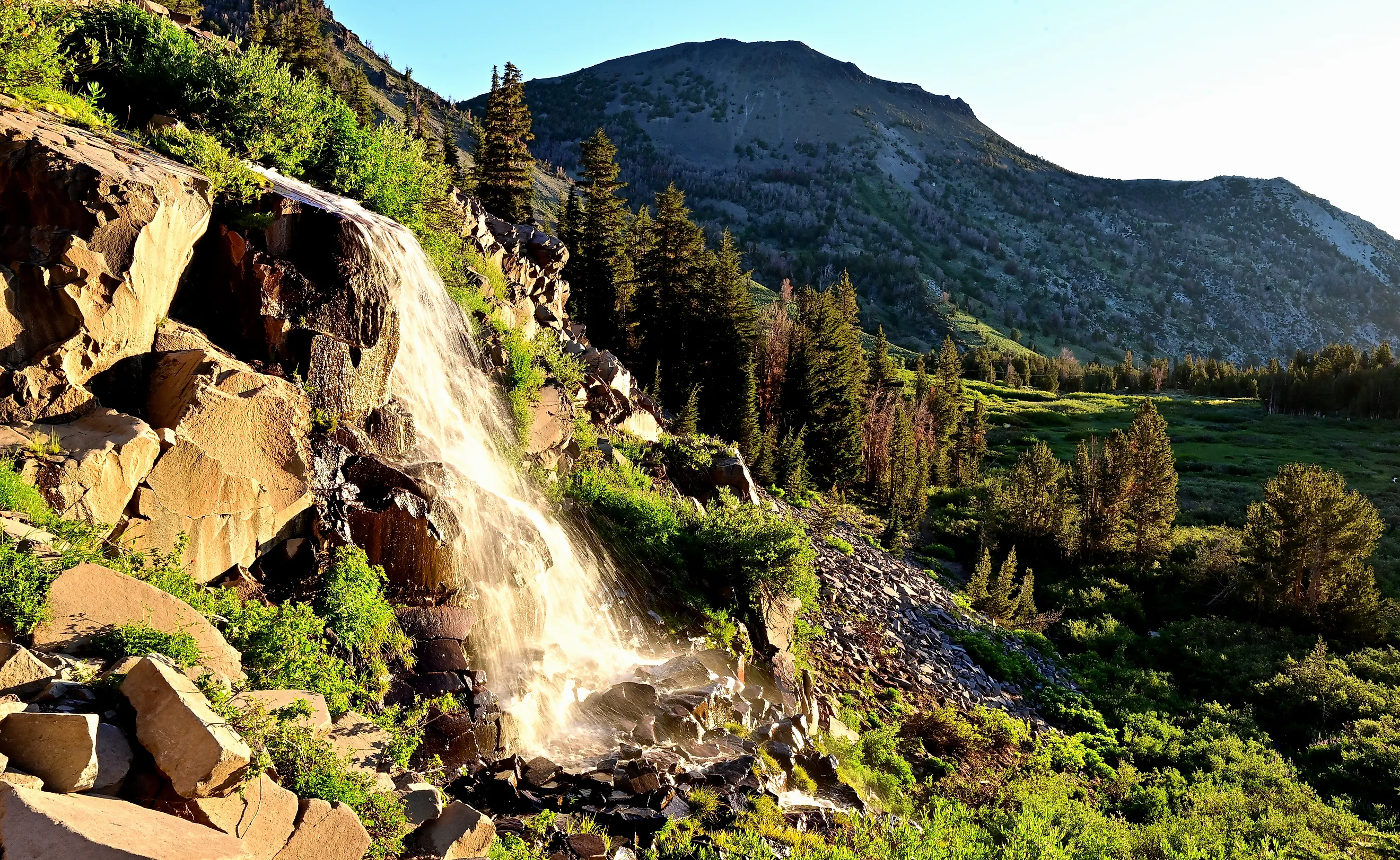
The Giants Are Almost All Out West

Three of the five biggest national forests sit in Alaska, and the top of the list is barely a contest. The Tongass is more than two and a half times the size of any other national forest. Its neighbor, the Chugach, makes a 210-mile arc around Prince William Sound as the northernmost and westernmost forest in the system, and keeps about 99 percent of its 5.4 million acres roadless. Step outside Alaska and the champion is the Humboldt-Toiyabe, which spreads 6.3 million acres across Nevada and the eastern edge of California, making it the largest national forest in the lower 48. After that, the list becomes a roll call of the Mountain West, with Idaho claiming more entries than any other state once the ranking runs deep, and Montana, Oregon, Wyoming, and Arizona close behind. Eastern forests, which the Forest Service had to reassemble parcel by parcel after a 1911 law let it buy private land, run far smaller.

A few stand out for reasons beyond their size. Wyoming's Bridger-Teton, sixth on the list, cradles the headwaters of the Green River and seven of the ten largest glaciers in the Lower 48. Idaho's Salmon-Challis, fourth, wraps around the Frank Church-River of No Return Wilderness, the largest stretch of unbroken wilderness in the lower 48. And New Mexico's Gila, tenth, holds the Gila Wilderness, the first piece of ground anywhere the federal government set aside to stay roadless, designated in 1924.
More Than Timber

For most of the 20th century, "national forest" meant logging. That has flipped. Recreation is now the fastest-growing use of the forests, and the money has followed: hiking, hunting, fishing, skiing, and camping pour far more into the economy than timber sales do. The forests also do quiet, expensive work that never shows up on a trail map. They filter the drinking water for millions of people downstream, hold soil on steep slopes, and store enormous amounts of carbon, with the old growth of the Tongass alone among the largest carbon reserves of any forest on the continent. When a forest like the Chugach stays almost entirely roadless, that is the design, not an oversight.
The 20 Biggest National Forests

Ranked by approximate acreage reported by the U.S. Forest Service, here are the twenty largest national forests. Figures are rounded and reflect the land within each forest's boundaries.
| Rank | National Forest | State(s) | Approx. Area (million acres) |
|---|---|---|---|
| 1 | Tongass | Alaska | 16.79 |
| 2 | Humboldt-Toiyabe | Nevada, California | 6.29 |
| 3 | Chugach | Alaska | 5.42 |
| 4 | Salmon-Challis | Idaho | 4.27 |
| 5 | Okanogan-Wenatchee | Washington | 4.26 |
| 6 | Bridger-Teton | Wyoming | 3.38 |
| 7 | Beaverhead-Deerlodge | Montana | 3.36 |
| 8 | Idaho Panhandle | Idaho | 3.07 |
| 9 | Tonto | Arizona | 2.87 |
| 10 | Gila | New Mexico | 2.66 |
| 11 | Boise | Idaho | 2.65 |
| 12 | Apache-Sitgreaves | Arizona, New Mexico | 2.63 |
| 13 | Caribou-Targhee | Idaho, Wyoming | 2.62 |
| 14 | Mount Baker-Snoqualmie | Washington | 2.56 |
| 15 | Uinta-Wasatch-Cache | Utah, Wyoming | 2.49 |
| 16 | Shoshone | Wyoming | 2.44 |
| 17 | Flathead | Montana | 2.41 |
| 18 | Payette | Idaho | 2.33 |
| 19 | White River | Colorado | 2.29 |
| 20 | Wallowa-Whitman | Oregon, Idaho | 2.26 |
A Map Dominated by the West

The pattern is hard to miss: the country's largest national forests are overwhelmingly western, and Alaska holds the two biggest by a wide margin. That is partly geography and partly history, since the early reserves were cut from federal land in the West before much of it could be sold off, while eastern forests had to be bought back decades later. One caution on the figures: acreage can be counted as everything inside a forest's boundary or as federal land only, so different sources land on slightly different numbers and the order can shift a notch near the bottom. The top of the list does not move. The Tongass has been the giant for more than a century, and nothing else comes close.