The Best State Parks For A Day Trip From A Big City
A day trip to a state park is the fastest way for a city dweller to trade pavement for trail. Some of the biggest cities in the United States sit within a two-hour drive of forests, dunes, red-rock canyons, and beaches wide enough to lose the crowd on. The parks below each pair an easy commute with a landscape that feels nothing like the skyline behind you. A New Yorker can reach 200 miles of trail before lunch. A Houstonian can watch wild alligators bask on a lakeshore and be home for dinner. None of these require a hotel, a flight, or a long weekend.
Harriman State Park, New York

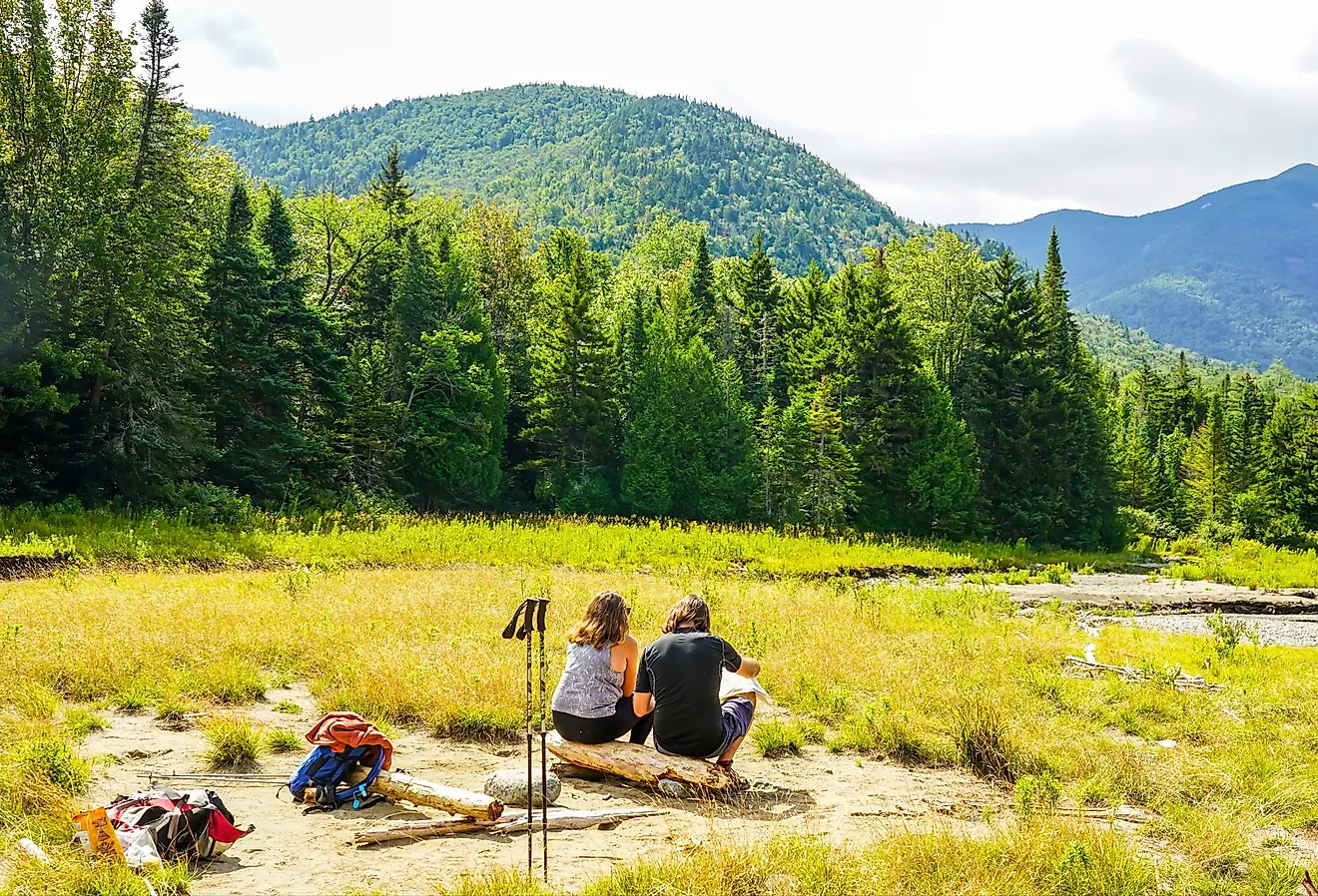
Roughly 35 miles north of New York City, Harriman spreads across more than 47,000 acres of forest, which makes it the second-largest state park in New York. Over 200 miles of hiking trails thread past 31 lakes and reservoirs, and volunteers keep the routes so well marked that first-timers and experienced hikers share the same paths without trouble. The park costs nothing to enter, though a few parking lots charge a small fee between Memorial Day and Labor Day. Driving in opens up the most options, since separate trailheads scatter across the acreage. When conditions allow, some lakes stay open through winter for ice fishing and skating, so the appeal does not end with the warm months.
Crystal Cove State Park, California

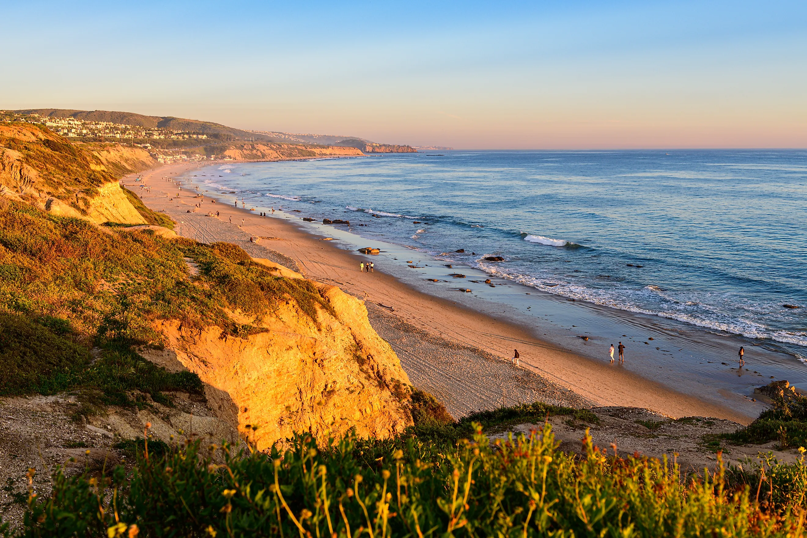
Seven coves break up 3.2 miles of Pacific shoreline at Crystal Cove, one of the largest stretches of open coast and natural seashore left in Orange County. The park sits southeast of Los Angeles, close enough to reach in about an hour outside of heavy traffic. Down at the water, visitors swim, surf, poke through tide pools, or stretch out on the sand along the Pacific. Behind the beach, 2,400 acres of backcountry wilderness climb into wooded canyons and ridgelines laced with about 18 miles of trail for hikers and mountain bikers. Two landscapes stack against each other here, and a single day covers both.
Indiana Dunes State Park, Indiana

At Indiana Dunes State Park, about an hour east of downtown Chicago, sand dunes rise nearly 200 feet above Lake Michigan. Wind and water shaped the 2,182-acre park over thousands of years, leaving three miles of dune-lined shore backed by marshes, forests, and oak savannas that support a wide mix of plants and wildlife. Sixteen and a half miles of trail cross the terrain, and the 3 Dune Challenge climbs the three tallest dunes for a payoff view of Lake Michigan. It is a short drive back to the city afterward, though the legs may argue otherwise.
Brazos Bend State Park, Texas

Wild alligators are close to guaranteed at Brazos Bend, roughly 45 miles southwest of downtown Houston. The park covers about 5,000 acres of lakes and wetlands, home to one of the densest gator populations on public land in Texas. Cooler weather between fall and spring makes hiking and wildlife watching more comfortable, and 37 miles of trail open to foot, bike, and horseback wind through hardwood forest and around the water. American alligators bask on the banks of Elm Lake and 40-Acre Lake, easy to spot from the surrounding paths. The wildlife holds the attention so completely that the city an hour away fades from mind.
Lost Dutchman State Park, Arizona

Named for a legendary lost gold mine, Lost Dutchman sits at the base of the Superstition Mountains and opens straight onto the Superstition Wilderness and Tonto National Forest. This Sonoran Desert park stays open all year, but it peaks in spring when enough winter rain brings out the wildflowers, and again in winter when snow dusts the peaks above. Six trails leave from the base of the range, and the 2.4-mile Treasure Loop climbs through rugged terrain to an overlook of the valley below. Phoenix lies about 40 miles west, close enough for a morning start and an afternoon return.
Anastasia State Park, Florida

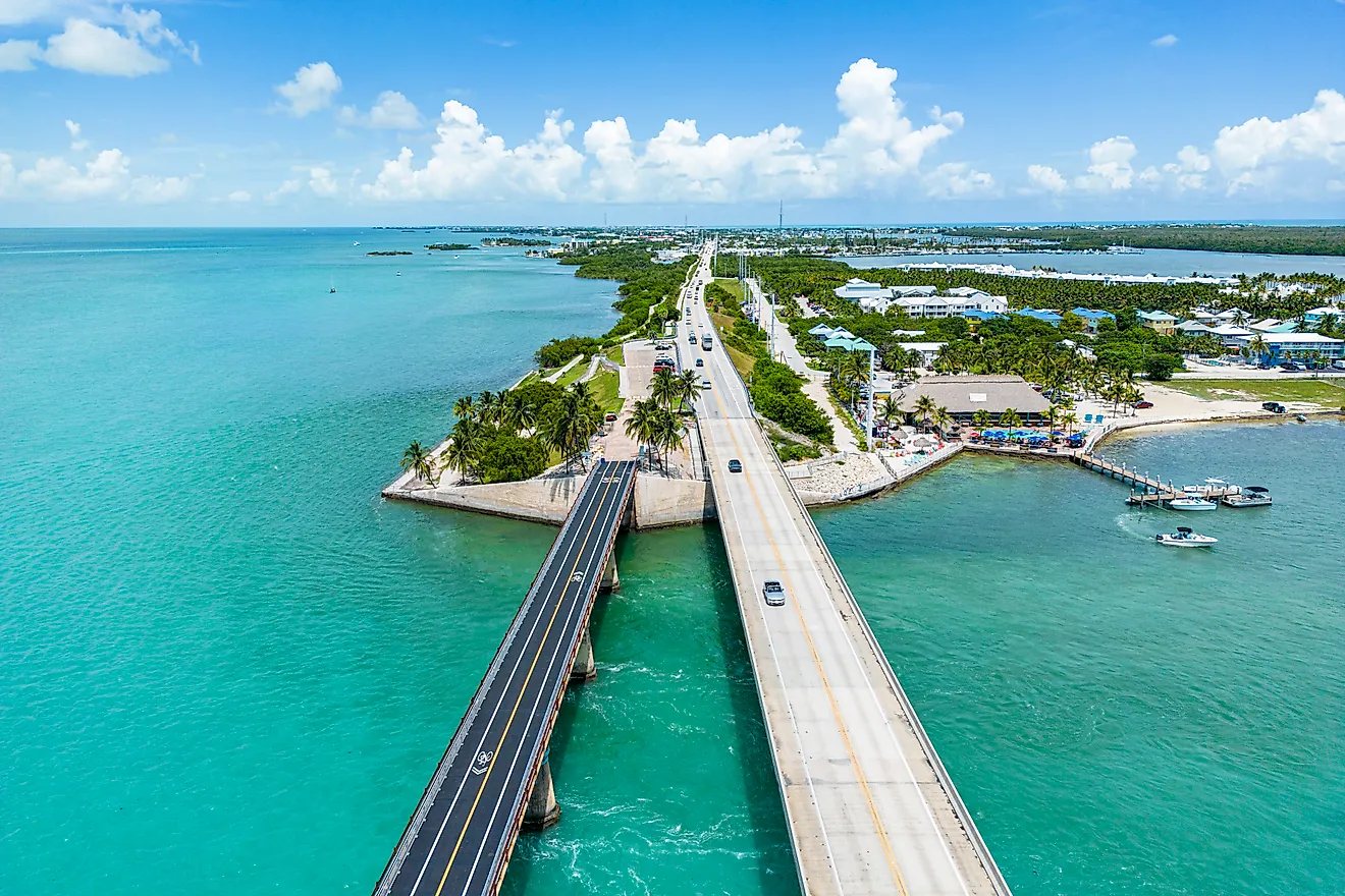
Over 1,600 acres of barrier island make up Anastasia State Park, a mix of Atlantic beach, tidal marsh, and old sand dunes under an hour south of Jacksonville. Salt Run, a lagoon that runs the length of the park, gives paddlers in kayaks and canoes one of the best ways to explore. Shorebirds and crabs work the beach while manatees, dolphins, and sea turtles move through the water offshore. Four miles of white sand draw walkers, swimmers, and anglers, and spring and fall bring the mild temperatures that make midday exploring of the beaches, dunes, and marshes comfortable.
Sweetwater Creek State Park, Georgia

The brick shell of a five-story textile mill, burned by Union troops during the Civil War, stands above the water at Sweetwater Creek, about 15 miles west of downtown Atlanta. The Red Trail reaches the New Manchester mill ruins in roughly a mile, following the creek past whitewater shoals, and more than 15 miles of trail wind through the surrounding hardwood forest across the park's 2,549 acres. Anglers and paddlers head for the 215-acre George Sparks Reservoir inside the park. Few parks inside the Georgia capital's orbit pack this much wilderness and history into a single visit.
Roxborough State Park, Colorado

Tilted slabs of red sandstone tower over the trails at Roxborough, a National Natural Landmark in the foothills about 25 miles south of Denver. The 3,339-acre park is foot traffic only, with no dogs or bikes allowed anywhere inside, a rule that keeps the wildlife at ease and the quiet intact. Nearly 15 miles of trail cross the ground where the plains meet the Front Range, including the level 2.3-mile Fountain Valley Loop and the climb up Carpenter Peak. The red formations belong to the same Fountain Formation that surfaces at Garden of the Gods, and in Colorado few places put them this close to a major city.
Interstate State Park, Minnesota

Some of the deepest glacial potholes in the world sit inside Interstate State Park at Taylors Falls, about an hour northeast of Minneapolis. A glacial river drilled more than 400 of them into the basalt as it carved the Dalles of the St. Croix, a narrow gorge walled by cliffs that rise about 100 feet above the water. The Glacial Potholes Trail runs less than half a mile with handrails and walkways, so visitors of any age can look down into the formations. Rock climbers work the cliffs and paddlers run the river between the walls, and in fall the maples along the gorge turn the whole scene gold. It ranks among the more unusual geology Minnesota keeps within reach of the Twin Cities.
Silver Falls State Park, Oregon

The largest state park in Oregon holds ten waterfalls, and the trail lets hikers walk behind four of them. Silver Falls covers more than 9,000 acres in the Cascade foothills near Silverton, about 60 miles and an hour south of Portland. The roughly seven-mile Trail of Ten Falls drops into a canyon of old Douglas fir and follows Silver Creek from one cascade to the next, with 177-foot South Falls the tallest of the set. Shorter connecting loops trim the distance for anyone short on time or legs. Behind the sheets of falling water, the trail passes through a landscape that feels a long way from any city, though it is barely an hour out.
Trading the Skyline for a Trailhead
What ties these ten parks together is proximity, not similarity. A single afternoon can put a Chicagoan on top of a dune, a Denverite among red-rock hogbacks, or a Portlander behind a waterfall, and each of them can sleep in their own bed that night. The landscapes could hardly be more different from one another: alligator wetlands outside Houston, glacial potholes above the Twin Cities, seven Pacific coves south of Los Angeles. The common thread is how little effort separates the biggest American cities from wild country. For anyone weighing whether nature requires a plane ticket, the answer sits about an hour down the highway.