The US Harbors Deep Enough For The Largest Ships
The clothing and furniture on American store shelves, and the soybeans and wood pulp going the other way, travel on container ships that now run about a quarter of a mile long. A ship that size sits deep in the water when it is full, and a harbor that cannot clear its hull makes it wait for the tide or sail with cargo left on the dock. The difference between a harbor that gets those ships and one that watches them pass is a few feet of water, and dredging that water out takes years and hundreds of millions of dollars. That is why ports from California to Virginia keep cutting their channels to 50 feet and beyond. Only a few American harbors are there yet, and some of them are still digging.
Los Angeles Harbor, California

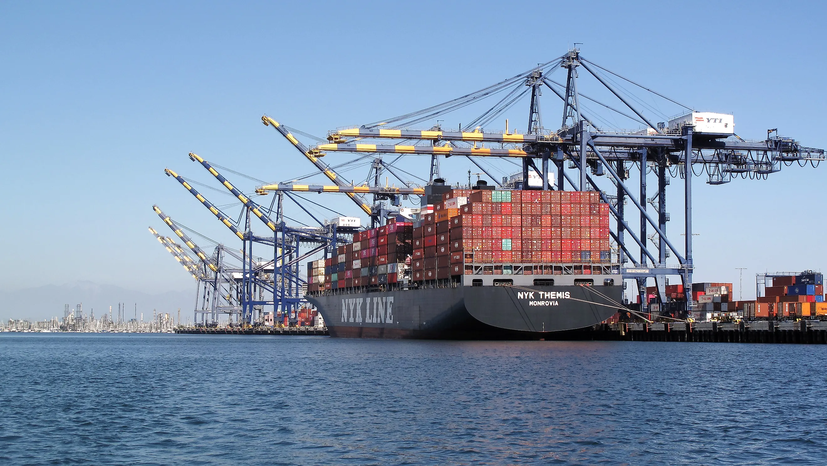
Los Angeles' main shipping channel is 53 feet deep, giving huge container vessels access to terminals inside San Pedro Bay. During MSC Isabella's 2020 visit to Pier 400, longshore workers used nine ship-to-shore cranes to move 18,465 containers on and off the vessel. The ship itself was approximately 200 feet wide. Its rated capacity is expressed in TEUs, or twenty-foot equivalent units; a forty-foot container counts as two. Containers can continue inland by train through the port's five on-dock rail yards. Its rail network totals 122 miles. Los Angeles and Long Beach together handled about 31% of U.S. international containerized waterborne trade in 2025.
Long Beach Harbor, California

Beside Los Angeles, Long Beach provides a particularly deep entrance through the breakwater at Queens Gate. Its approach channel is 76 feet deep. Long Beach Container Terminal lists 60 feet of water alongside its wharf, which extends more than 4,200 feet.
The harbor has already received MSC Nela, another 23,656-TEU vessel, at Pier T. A ship that long needs room to swing its bow and stern as tugs position it beside a berth. Long Beach's channel improvement plans therefore include easing bends and enlarging deep-water maneuvering areas, as well as deepening selected routes. The approved plan would also deepen the entrance to 80 feet. Other improvements target the approach and turning basin for Pier J South, extending the deeper route toward the terminal.
Seattle Harbor, Washington

Elliott Bay gives Seattle a naturally deep approach to its working waterfront. At Terminal 5, beside the West Waterway, the berth is 55 feet deep relative to mean lower low water, a low-tide reference level. The terminal can handle an 18,000-TEU vessel along a 2,750-foot wharf. Its six large cranes can reach across 24 rows of containers to unload boxes on the far side of a wide vessel.
Shore-power connections let suitably equipped vessels switch off their diesel generators while docked. MSC Brunella became the first ship to use the system in April 2023. Electricity comes from Seattle's grid while crews work the vessel, reducing diesel exhaust at the berth.
Tacoma Harbor, Washington

Farther south on Puget Sound, Tacoma's container terminals occupy waterways cut into the tideflats at the head of Commencement Bay. Husky Terminal sits at the northwest end of the Blair Waterway, where a rebuilt wharf provides 2,960 feet of continuous berthing space. Its reconstruction allowed two ultra-large container vessels to dock simultaneously.
The terminal lists 51 feet of water at mean lower low water and vessel-handling capability up to 24,000 TEUs. That capacity describes the size of ship its facilities can handle; the cargo aboard still determines the draft on any particular call. Eight cranes reach across 24 container rows and can lift cargo 165 feet above the dock. On-dock rail connects the terminal with the North Intermodal Yard, allowing containers to continue inland after discharge.
Norfolk Harbor, Virginia

Ships approaching Norfolk cross the mouth of Chesapeake Bay through the Thimble Shoal Channel before reaching the Hampton Roads terminals. Dredging to 55 feet was substantially completed in February 2026, creating the deepest commercial shipping channel on the U.S. East Coast. Earlier widening, finished in 2024, made room for two-way traffic by ultra-large container vessels.
The five-foot deepening was designed to let large container ships carry fuller loads. Virginia agricultural and forestry exports, including soybeans and wood pulp, can use that additional carrying capacity. Improvements continue at the docks: by February 2026, the port had brought a fourth ultra-large-container-ship berth into operation. Two were available at Norfolk International Terminals' South Berth and two at Virginia International Gateway.
Charleston Harbor, South Carolina

At Charleston, a ship's departure time once depended more heavily on the tide. Deepening the harbor to 52 feet gave large container vessels more freedom to arrive and leave throughout the day. The entrance channel reaches 54 feet, while the route serving Wando Welch Terminal continues inland toward the Wando River. OOCL Iris arrived at that terminal in February 2025 with a rated capacity of 16,828 TEUs. Its service linked Charleston with Asia and placed the port last on its U.S. East Coast rotation. That position makes depth especially useful to exporters: the ship can load its outgoing cargo before starting the ocean crossing. The harbor project also widened turning basins, giving long vessels more room to maneuver near the terminals. The widened basins sit in front of Wando Welch and Leatherman terminals.
New York And New Jersey Harbor

A container ship bound for Port Newark and Elizabeth must fit beneath the Bayonne Bridge as well as navigate the water below it. Raising the roadway increased the bridge's navigational clearance to 215 feet. The harbor-deepening project created 50-foot channels to the container terminals, opening the route to much larger vessels.
The changes were already in use when the 15,072-TEU CMA CGM Brazil arrived in September 2020. Workers unloaded more than 2,600 containers for regional retailers and loaded nearly as many for export. The incoming goods included clothing and furniture. Larger ships followed, including the 16,022-TEU CMA CGM Marco Polo in May 2021.
A further project to deepen key channels to 55 feet remained in the engineering and design stage in 2026.
A loaded supertanker can need much more water than the container vessels working these docks. The Louisiana Offshore Oil Port handles such traffic about 18 miles off Grand Isle, with mooring buoys in approximately 115 feet of water. A tanker is secured to a buoy by its bow, and flexible hoses connect it to a submarine pipeline. The buoy and hose assembly can rotate a full circle, allowing the ship to adjust its heading to wind and waves. Oil passes through a pumping platform where it is measured and sampled before being pumped toward shore. The tanker transfers its cargo without entering a coastal harbor.