Hampton Roads
With an area of 110,785.7 km2, Virginia state located in the South Atlantic Region of the United States. The Hampton Roads refers to a wide water channel and its surrounding metropolitan areas situated in the southeastern part of the US State of Virginia. Hampton Roads is considered one of the largest and the most vital natural harbors on the planet.
Hampton Roads includes the mouths of the Nansemond, James, and Elizabeth rivers along with numerous smaller rivers that drain into the Chesapeake Bay and the Atlantic Ocean. Both the water and the surrounding metropolitan area are a part of the Tidewater region that is made up of the southeastern part of the US State of Virginia and the northeastern part of the US State of North Carolina.
Geography

The topography of the Hampton Roads area is highly influenced by the Chesapeake Bay Impact Crater that contributes to the sinking of the area at 15 to 23 cm per century. Extensive natural areas are found in the Hampton Roads region including numerous rivers, botanical gardens, state parks, the Great Dismal Swamp, wildlife refuges, and more than 42 km of sandy beaches along the Atlantic Ocean.
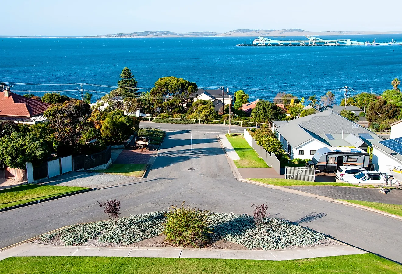
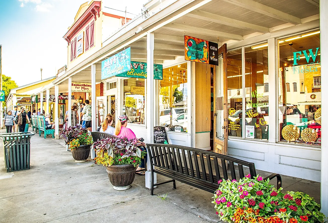
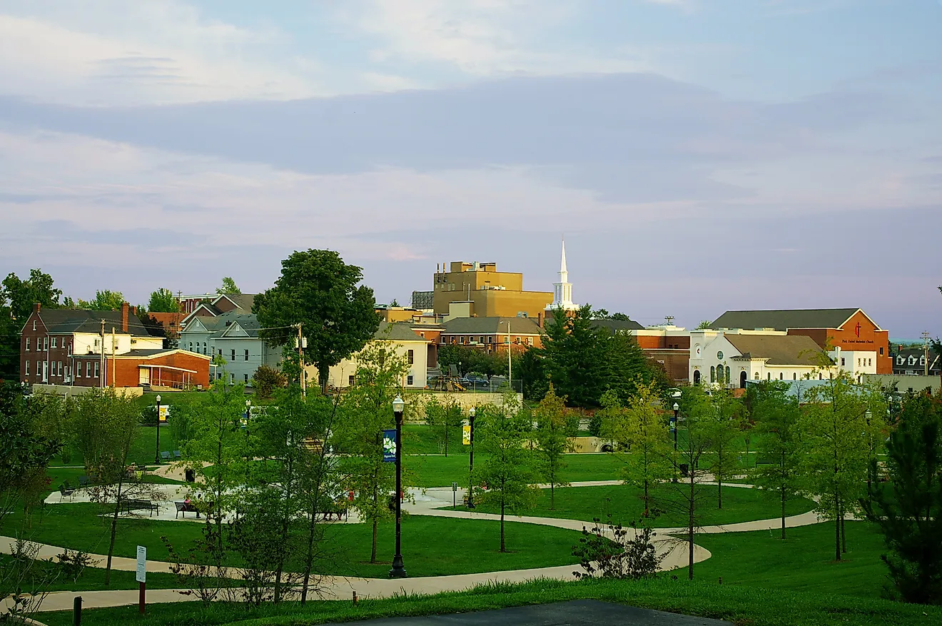
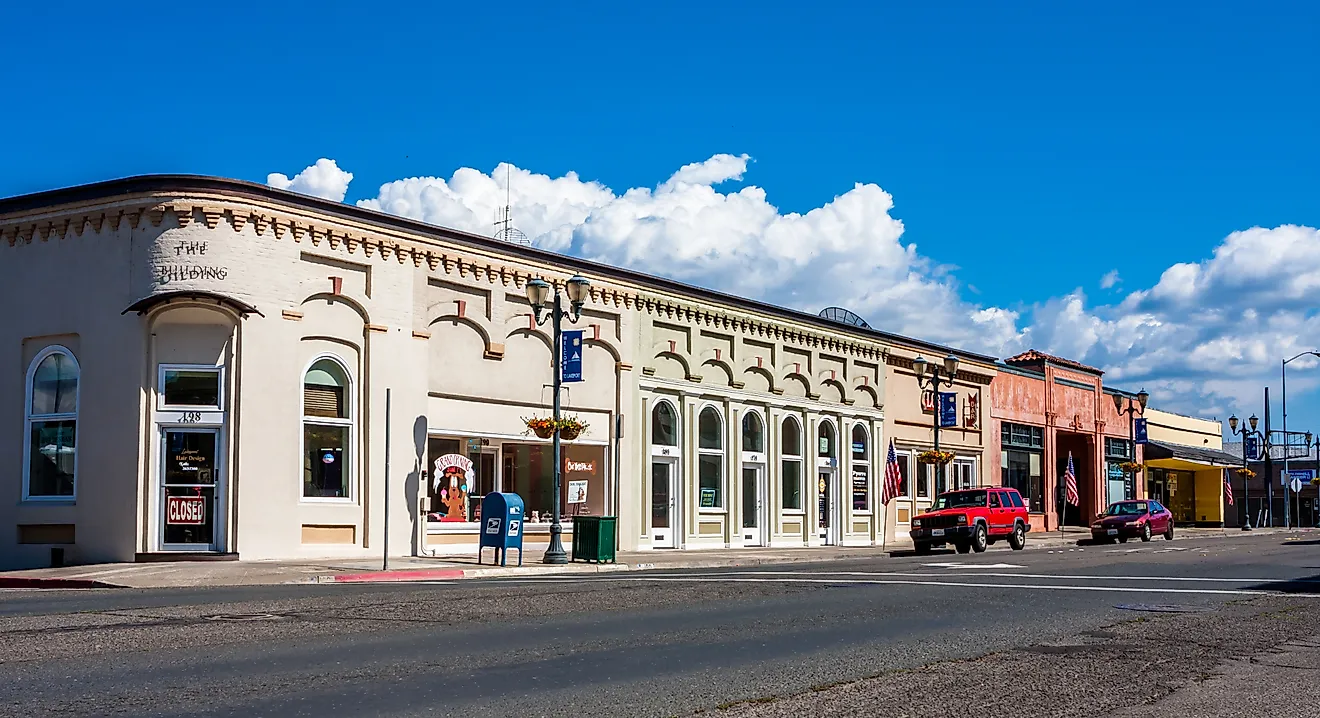
Hampton Roads is also a metropolitan area that covers an area of 3,729.76 sq. km, called the Virginia Beach-Norfolk-Newport News, VA-NC, Metropolitan Statistical Area in full. As per the US Census Bureau, this metropolitan area is administratively divided into a total of five counties and nine independent cities in the State of Virginia and three counties in the State of North Carolina.
The counties of Gloucester, James City, Isle of Wight, Southampton, Mathews, and York are located in Virginia while the counties of Camden, Currituck, and Gates are located in North Carolina. The independent cities that are located in Virginia include Chesapeake, Hampton, Franklin, Norfolk, Newport News, Poquoson, Suffolk, Portsmouth, Williamsburg, and Virginia Beach. The metropolitan area also includes some incorporated towns like Claremont, Dendron, Smithfield, Surry, and Windsor.
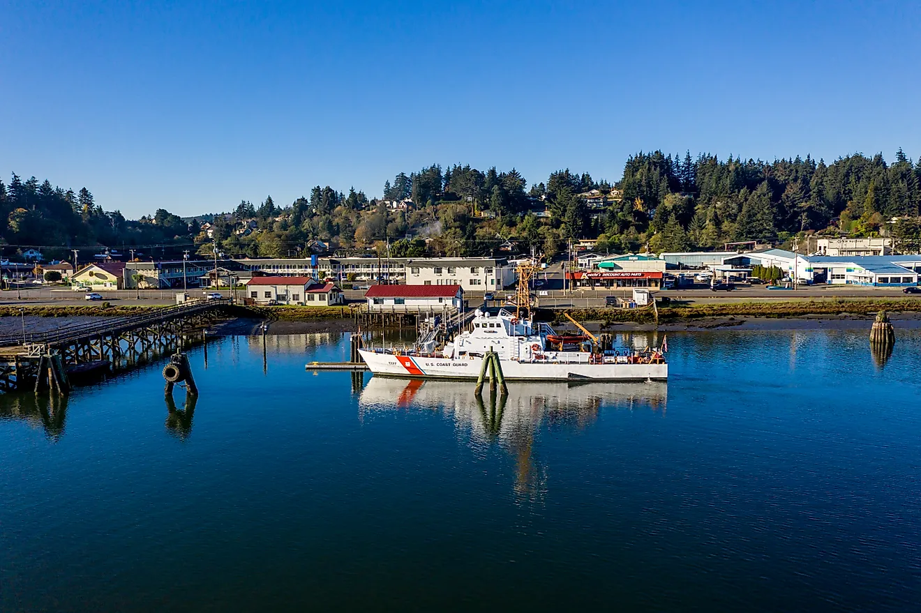
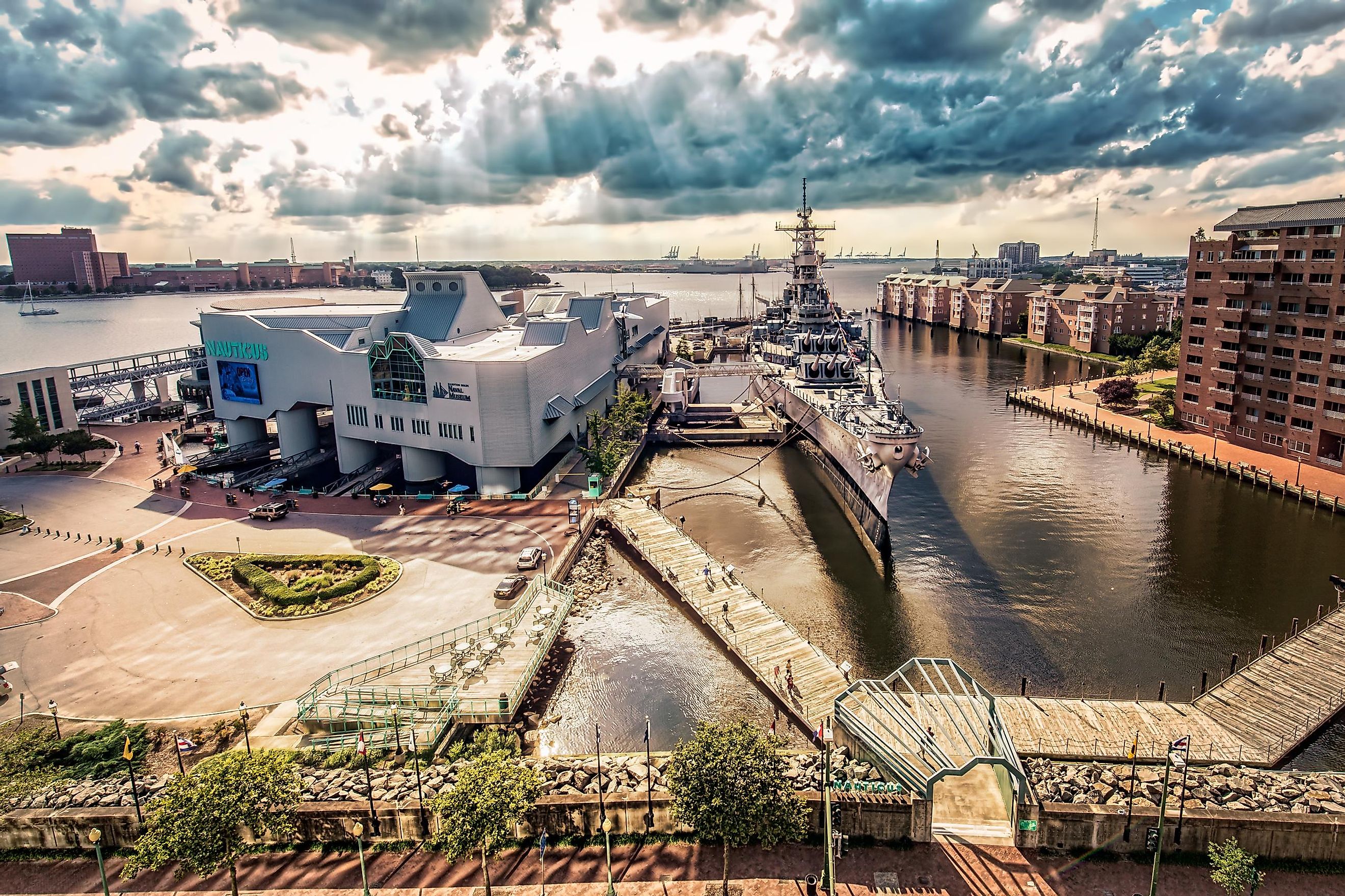
Hampton Roads is notable for being a year-round ice-free harbor and is utilized by several branches of the US Military. Established in 1926, the Port of Hampton Roads serves as one of the country’s busiest seaports.
Brief History

In 1607, Christopher Newport, an English captain landed at Cape Henry situated on the northeastern edge of Virginia Beach. After moving further upstream of the James River, the Captain and his party established the first English colony at Jamestown Island. However, several colonists died due to the area’s unhealthy environment. In 1611, a new Governor named Lord Delaware arrived on the island with John Rolfe, who was instrumental in establishing the first tobacco industry in the Colony of Virginia.
The early colonists immediately recognized the waters and ports of Hampton Roads as ideal sites for shipbuilding, military uses, and other commercial activities. Fortifications at Old Point Comfort were constructed at the mouth of Hampton Roads in 1610. In 1767, the Norfolk Naval Shipyard was also established. The first naval battle that was fought in Hampton Roads took place during the War of 1812. In later years, several fortifications like Fort Monroe and Fort Wool were constructed at the mouth of the Chesapeake Bay. In 1862, the historic Hampton Roads Battle was fought just off Sewell’s Point during the American Civil War. In 1865, the historic Hampton Roads Conference was held aboard the River Queen steamboat in the Hampton Roads between US President Abraham Lincoln and the commissioners of the Confederacy States.