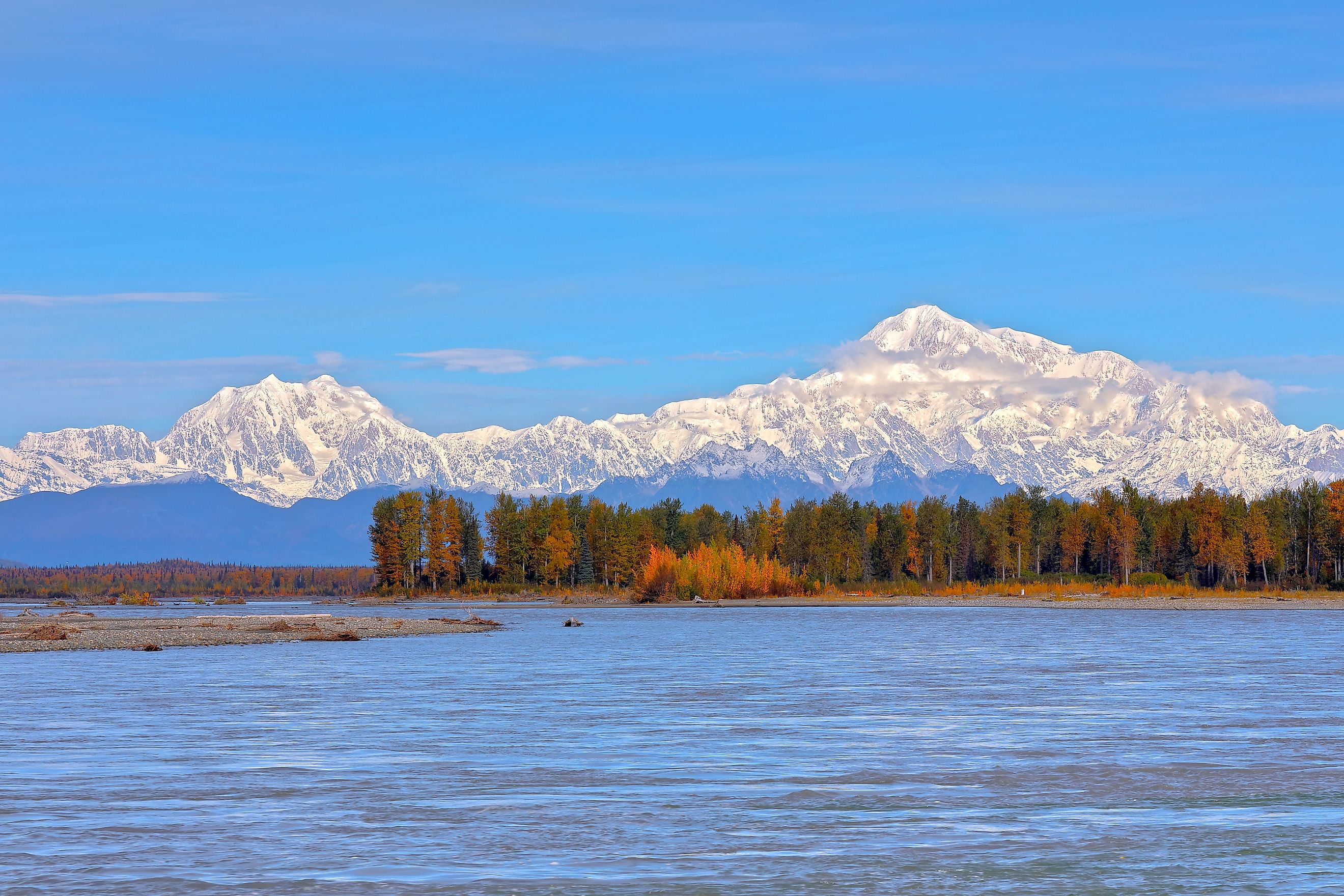
The Coldest Rivers in North America
While most rivers warm up in the summer, these North American rivers remain as cold as an ice plunge. In the northern regions of Alaska and Canada, glaciers and mountain snow affect the temperature of certain northern rivers. Some might be the longest or fastest-moving, but all share similar colder characteristics, with air temperatures dropping as low as -40°C (-40°F). Let's explore the many reasons why these waters stay so frigid.
The Yukon River, Canada And Alaska

What makes the Yukon River so cold is that it flows through subarctic regions that experience extreme winter air temperatures, combined with frigid melted glacial waters of the Pelly, St. Elias and Coast Mountains. The river basin is affected by long, drawn-out winters that drop air temperatures below freezing, sometimes to a very low -63 degrees Celsius (-81°F). Found beneath the deep moving water is a layer of unfrozen ground called a talik. Even so, much of the Yukon River basin is still covered by permafrost, and its icy-cold temps come from a mix of snowmelt, subarctic groundwater, and glacial runoff from upstream.
The main river channel is solid ice, usually between October and May, and when spring comes, the ice breaks apart and temporarily jams up the channel. Because it backs up, large amounts of water often flood riverside communities and banks.
The Mackenzie River, Canada
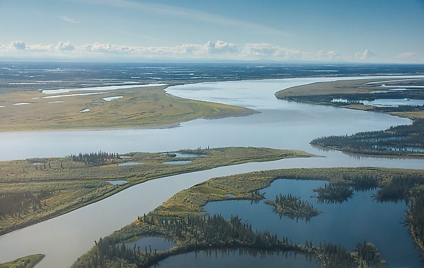
The Mackenzie River is Canada's longest river, acting like a pipeline flowing directly into the Arctic Ocean. It's called a cold river because it runs through Canada's Arctic and subarctic regions, which experience harsh winters and temperatures that can plunge to a very low -40°C (-40°F). Snowmelt from the Rocky Mountains of British Columbia and Alberta also reaches the river through its tributaries, which helps keep it frigid throughout most of the year.
A thick layer of ice, sometimes up to four feet, covers the Mackenzie River for much of the year. The river freezes over in November and does not break apart until May or June. Also, because much of the northern drainage basin remains on permafrost, the water supply stays exceptionally cold throughout the year.
The White River, Canada And Alaska

The frigid waters of the White River, spanning Canada and Alaska, resemble milk because the river carries approximately 19 million tons of suspended glacial sediment each year. High-altitude glaciers like the Russell Glacier in the Wrangell-St. Elias Mountains pump freezing, melted water into the river channel. It continues to flow throughout the White River basin in the Yukon and Alaska, a region that has recorded air temperatures as low as -63 degrees Celsius (-81°F). Surprisingly, the Yukon River runs clear until it collides with the White River, where the White injects its milky sediment, turning the water a color similar to coffee with cream.
The Copper River, Alaska

The Copper River moves so fast, dropping almost 12 feet per mile as it heads toward the Gulf of Alaska, which is why it has so little time to warm up. Its fast movement also makes it one of the most dangerous rivers in North America, and one of the coldest, with glaciers and snowmelt keeping it icy even through summer.
The Alaska Range, the Wrangell Mountains, and the Chugach Mountains surround the river's basin, and even when the sun finally comes out, melting glaciers from higher altitudes still keep the water chilled. Water temperatures vary by location and season, but the river stays cold enough for immersion to be dangerous even at the peak of summer. Local fishermen and boaters are keenly aware of the dangers caused by the Copper River, including the risk of hypothermia, fast-moving currents, and thick glacial sediment.
The Susitna River, Alaska

Similar to the other rivers mentioned, the Susitna River carries frigid waters as low as 0 degrees Celsius (32°F), fed by the rocky glacial mountains from which it flows. The waters are fed by the Susitna Glacier, located in the Alaska Range, along with over 100 other glaciers throughout the upper basin, providing a continuous supply of almost freezing streams. Even during the brief summer, currents quickly flow through mountain canyons and hidden valleys, which leaves little chance for the water to warm up.
During the winter, large sections of the river will freeze beneath thick layers of ice, while the powerful flow beneath and beyond the ice remains shaped by the forces of the landscape. Because the Susitna is not dammed, it flows freely, and its heavy glacial sediment splits it into many smaller braided channels, creating a constantly changing and formidable network of icy streams.
Hidden Forces Of Water
Many of these look like ordinary rivers from the surface, each with a history that's been formed by the Canadian and Alaskan mountains, glaciers, and challenging weather patterns. Often, we don't consider where water comes from or why some areas are colder and others warmer. Information like this helps people understand the geology behind these rivers and look beyond the surface.