The Mountains That Are Still Growing
Mountains never stop changing. Tectonic forces push them upward, and rivers, glaciers, and weathering wear them down. Melting ice may also cause the crust to rebound. These processes often happen at the same time but at sharply different rates.
Crustal uplift does not necessarily make a mountain summit higher. GPS measures movement in the crust even as erosion strips rock from the surface. Within the same mountain range, one area may rise as another loses elevation.
Each range combines these forces differently. Scientists still debate how much Everest's river system contributes to uplift. Denali shows a different pattern, with erosion near the summit far slower than in the surrounding valleys. Other ranges respond to varying combinations of uplift, erosion, melting ice, and crustal movement.
Mount Everest

Mount Everest is rising about 0.08 inches (2 millimeters) a year, nearly twice its long-term rate. A 2024 study proposed that a change in a nearby river system could explain part of that difference, but geologists immediately challenged the idea that same year. The debate is still open.
The Arun River drains southern Tibet, flows through Nepal, and joins the Kosi system. In 2024, Xu Han and colleagues argued that the Arun captured another river about 89,000 years ago. The combined flow cut a deep gorge, removed rock, and allowed the crust to rebound, like a boat rising when its load is removed.
Han’s team estimated that isostatic rebound tied to historical erosion from the Arun River contributes an estimated 0.16 to 0.53 millimeters (0.006 to 0.021 inches) of extra uplift per year around Everest. This figure does not mean the summit rises by that total amount each year; rather, it is a localized estimate of the upward flexure caused specifically by the loss of rock mass from the river basin. While geologists note that estimating the exact timeline and rate of this river-capture event involves deep modeling uncertainties, the underlying mechanism of erosion-driven crustal rebound is a recognized contributor to Everest's anomalous growth spurt.
They argued that orographic rainfall could explain the valley's shape equally well, and that other evidence does not support the capture theory. Han and colleagues later defended their view. Meanwhile, rivers, glaciers, and other forms of erosion continue to remove rock. Everest's height depends on the balance between uplift and erosion.
The St. Elias Mountains, Alaska / Yukon

The St. Elias Mountains are rising about 0.12 to 0.16 inches (3 to 4 millimeters) a year, making them one of the fastest-rising ranges on Earth. One driver is the Yakutat microplate, a thick piece of oceanic crust being pushed beneath southern Alaska.
Researchers with the STEEP project study how this collision is reshaping the range. Near the coast, the numbers climb far higher. GPS data show sites near Icy Bay rising more than 0.94 inches (24 millimeters) a year, and sites along the Bagley Icefield rising about 0.79 inches (20 millimeters) a year.
Scientists found that part of this uplift comes from melting ice. Ice is heavy, so when large amounts melt, the crust loses weight and rebounds upward. In the St. Elias Mountains, this rebound is happening alongside tectonic uplift.
Mount Denali, Alaska

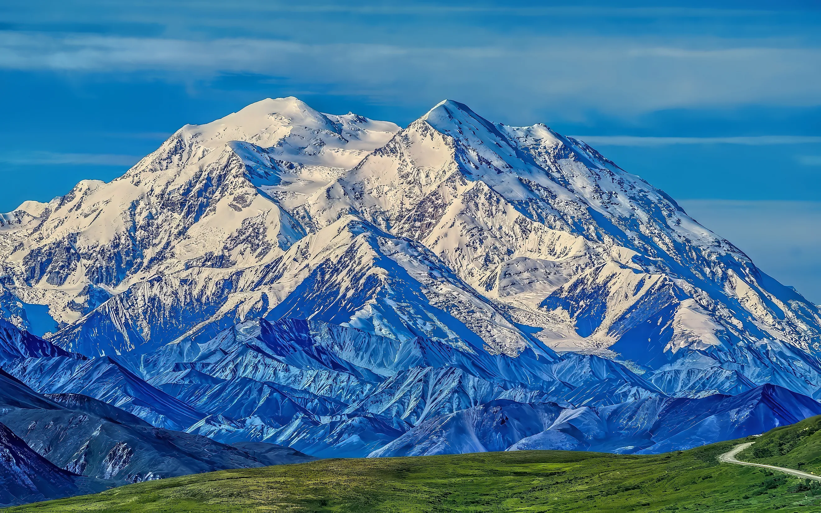
Mount Denali lies inside a 19-degree bend in the active Denali Fault system. The fault slips about 0.28 inches (7 millimeters) a year, but uplift is only about 0.02 inches (0.5 millimeters) a year. The bigger story is erosion. Near 17,060 feet (5,200 meters), close to the summit, erosion removes rock at a mere 0.18 inches per thousand years (4.6 millimeters).
In the valleys below the Kahiltna Glacier, erosion strips away 17.7 to 35.3 inches per thousand years (450 to 896 millimeters), about 100 to 200 times faster. Uplift alone does not account for Denali's height. Slow erosion near the summit and rapid erosion in the valleys create a sharp contrast. USGS researchers found that this difference helps explain Denali's anomalously high relief.
The European Alps

Ten years of GPS measurements across the western Alps show almost no horizontal movement, a sign that the head-on convergence that built the range has largely stopped. Even so, parts of the Alps are still rising.
GPS and leveling surveys record uplift of more than 0.08 inches a year (2 millimeters) across an area about 50 by 37 miles (80 by 60 kilometers) around the Mont Blanc and Vanoise massifs. Researchers estimate that the usual explanations, such as the crust rising after rock and Ice Age glaciers were removed, account for no more than 60 percent of that uplift.
The cause of the remaining uplift is still unclear. Uplift is uneven across the range. A study using cosmogenic isotopes in river sediments found that the Central Alps are rising faster than they are eroding, the Western Alps are close to balance, and the Eastern Alps are losing elevation faster than they are gaining it.
Yushan, Taiwan
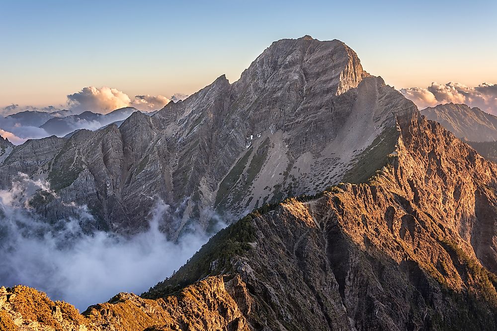
Yushan is the highest mountain in Taiwan. In 2018, Taiwan's National Land Surveying and Mapping Center measured the summit at 12,967 feet (3,952.43 meters). The rocks that form Yushan were originally deposited in a marine environment before the Eurasian Plate and Philippine Sea Plate began converging.
That collision forced the crust upward and built Taiwan's mountains. This convergence is still happening today, so the crust around Yushan continues to deform. Vertical uplift is rapid in eastern Taiwan. A 2002 GPS and geoid study measured average uplift of 1.76 inches a year (4.46 centimeters) along the Longitudinal Valley. Along the coastal highway, the average was 1.19 inches a year (3.02 centimeters). The measurements were based on 33 benchmarks in eastern Taiwan.
These measurements should not be read as Yushan's summit rising by one or two inches every year. They came from sites across eastern Taiwan rather than the summit itself. Instead, they show how quickly parts of the region are rising as the two plates continue to converge.
The Pamir, Central Asia
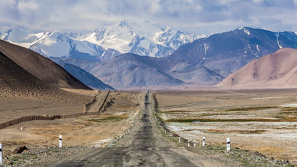
Along the western edge of the Pamir Plateau, the crust is still moving and changing shape. InSAR and GPS measurements show at least 0.39 inches (10 millimeters) of uplift and 0.39 inches of westward movement each year. The Pamir is pushing into the Tajik Depression. Shortening rates there reach about 0.59 inches a year (15 millimeters) in the east and fall to 0.08 inches (2 millimeters) in the west.
GPS data along the northern and western edges record deformation of about 0.79 inches a year (20 millimeters) in some areas. These measurements track crustal movement rather than the yearly rise of a particular mountain summit. They show how quickly the crust is moving, shortening, and rising beneath the ranges. The same forces produce powerful earthquakes.
The 1911 Sarez earthquake had a surface-wave magnitude of 7.7. It triggered a landslide large enough to block the Murghab River and create Lake Sarez, still in place today. In 2015, a magnitude 7.2 earthquake ruptured about 50 miles (80 kilometers) of the Sarez-Karakul fault. Researchers found that the 1911 and 2015 earthquakes had similar locations and mechanisms, though the exact relationship between the two ruptures remains uncertain.
Mountains In Motion
Mountains are not fixed monuments. They rise, sink, and reshape as tectonic forces, erosion, glaciers, and climate interact, and no single process explains mountain growth everywhere.
Plate collisions drive uplift in some ranges. Melting ice and crustal rebound play a larger part in others. Sometimes erosion outpaces uplift, and sometimes uplift wins out. Mountain growth is not a simple measure of summits getting taller. It is the outcome of competing forces acting on the crust and surface, often at mismatched rates. GPS, geoid studies, isotopes, and field surveys now let scientists track those changes with increasing precision.