Maps of Nepal
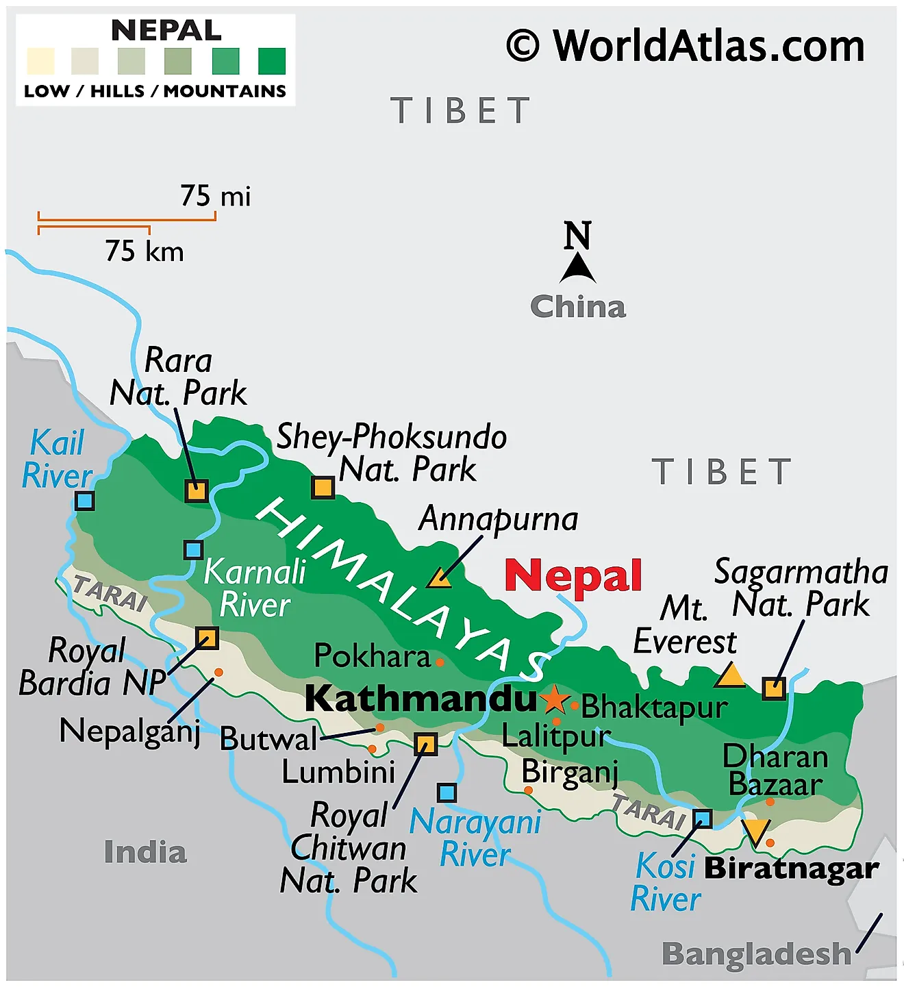
Nepal, a landlocked country in South Asia, spans an area of approximately 147,516 km2 (56,956 mi2). It sits wedged between two powerful countries, sharing its northern border with China's Tibet Autonomous Region and its other borders with India to the east, west, and south. Nepal comprises three distinct geographical regions: the Terai Plains (Madhesh), the Hill Region (Pahad), and the Mountain Region (Himal).
Madhesh run parallel to Nepal's southern border. Also known as the Terai Plains, this region spans a width of about 26 to 32 kilometers (16 to 20 miles) and a length of over 800 kilometers (497 miles). The terrain here is mostly flat, characterized by fertile soils that give way to lush agriculture, providing sustenance for a significant portion of Nepal's population. The Terai region is also home to many of the country's developing industrial centers.
Pahad: Ascending northwards from the Terai Plains, the topography morphs into what is known as the Hill Region or Pahad. This region covers about 64% of the total land area and presents a mixed landscape of valleys, hills, and smaller mountains, the elevation ranging from 800 meters to 4,000 meters (2,624 feet to 13,123 feet) above sea level. The Hill Region is not as densely populated as the Terai but nonetheless holds significant settlements, including Nepal's capital, Kathmandu.
Himal: Further north, the Mountain Region (known as Himal or Parbat) shrouds the remainder of Nepal. This region houses part of the Himalayan range, including eight of the ten highest peaks in the world. The most famous among these is Mount Everest, soaring to an elevation of 8,848.86 meters (29,031.7 feet) above sea level. These icy peaks and rugged terrains, while less hospitable for human habitation, attract a multitude of climbers and adventure seekers from around the globe.
Bodies of Water: Nepal is punctuated by a network of significant rivers and minor bodies of water. The three main river systems of Nepal - the Koshi, Gandaki, and Karnali - originate in the snow-covered Himalayan peaks, coursing southwards through the Hill Region and the Terai Plains before merging into the Ganges River in India. These rivers are vital for Nepal, providing water resources, hydroelectric power, and aiding in agriculture and transportation.
The larger bodies of water in Nepal include the Rara Lake, Phewa Lake, and Tilicho Lake. Rara Lake, located in the remote far-western region, is the largest lake in Nepal. Phewa Lake is a high-traffic destination situated near the city of Pokhara in the Hill Region. Tilicho Lake, known for being one of the highest lakes in the world, is nestled within the Annapurna range of the Himalayas.
Political Map of Nepal
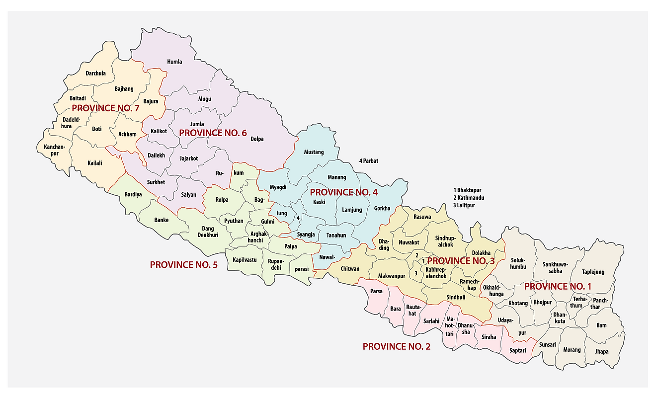
Nepal (officially, the Federal Democratic Republic of Nepal) is divided into 7 administrative provinces. These provinces are: Province no. 1, Province no. 2, Province no. 3 (Bagmati Pradesh), Province no. 5, Gandaki Pradesh, Karnali Pradesh and Sudurpashchim Pradesh. These provinces are divided into districts which are further subdivided into smaller subdivisions – municipalities and rural municipalities.
Kathmandu (“The City of Temples”) is the capital of Nepal. It is located in the north western part of the Kathmandu valley to the north of the Bagmati River. Kathmandu is the largest and populous metropolitan city and the center of history, culture and economy of Nepal. It is a home to a number of World heritage sites and often referred to as the “Gateway of Nepal Himalayas”.
Where is Nepal?
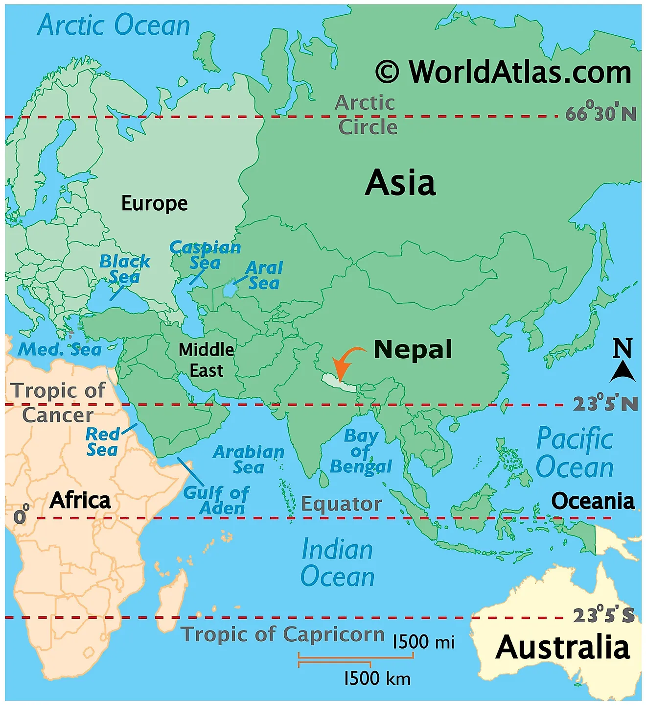
Nepal is a landlocked sovereign country, strategically located between China and India. Nepal is located in Southern Asia in the Northern and eastern hemispheres of the Earth. Nepal shares its borders with the Indian States of Uttarakhand, Uttar Pradesh, Bihar, West Bengal and Sikkim in the south, east and west; while it is bordered by China in the north. Nepal is separated from Bhutan by Sikkim. At the south eastern edge of Nepal, lies the independent country of Bangladesh. Nepal contains 8 of the world’s 10 highest mountain peaks including, Mount Everest and Kanchenjunga.
Nepal Bordering Countries: India, China.
Regional Maps: Map of Asia
Outline Map of Nepal
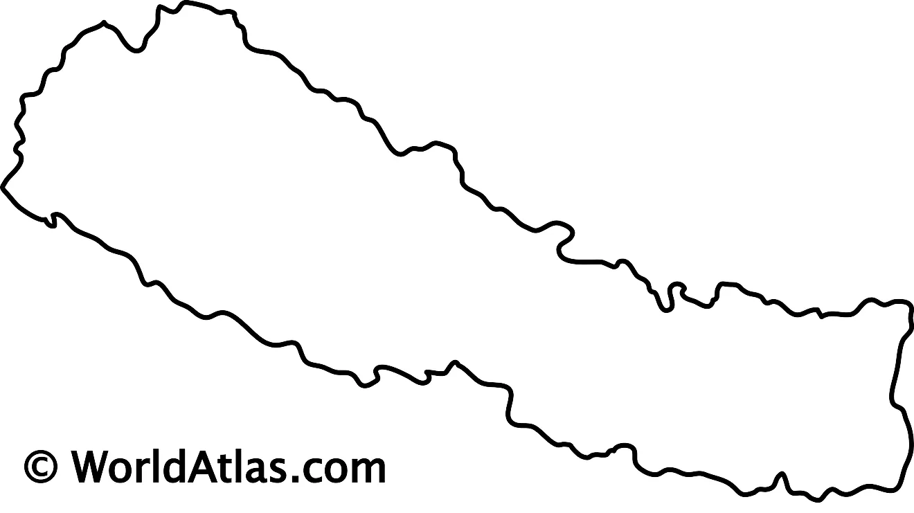
The above map represents Nepal, a Himalayan nation in the Indian subcontinent. The mountain chains of the Himalayan range run west-east through the country. The map can be downloaded, printed, and used for coloring or educational purpose like map-pointing activities.
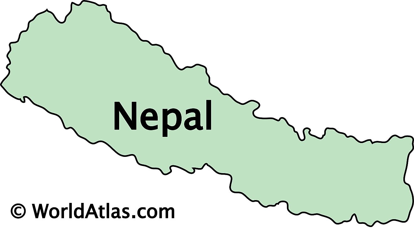
Located in the Himalayan mountain region of the Indian subcontinent, Nepal is a mountainous country with picturesque landscapes. The above map represents Neapl.
Key Facts
| Legal Name | Federal Democratic Republic of Nepal |
|---|---|
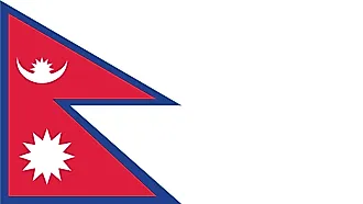
| Flag |
|
| Capital City | Kathmandu |
| 27 43 N, 85 19 E | |
| Total Area | 147,181.00 km2 |
| Land Area | 143,351.00 km2 |
| Water Area | 3,830.00 km2 |
| Population | 28,608,710 |
| Major Cities |
|
| Currency | Nepalese rupees (NPR) |
| GDP | $30.64 Billion |
| GDP Per Capita | $1,071.05 |
This page was last updated on January 8, 2024
