The Highest Mountain In The United States That Isn't In Alaska
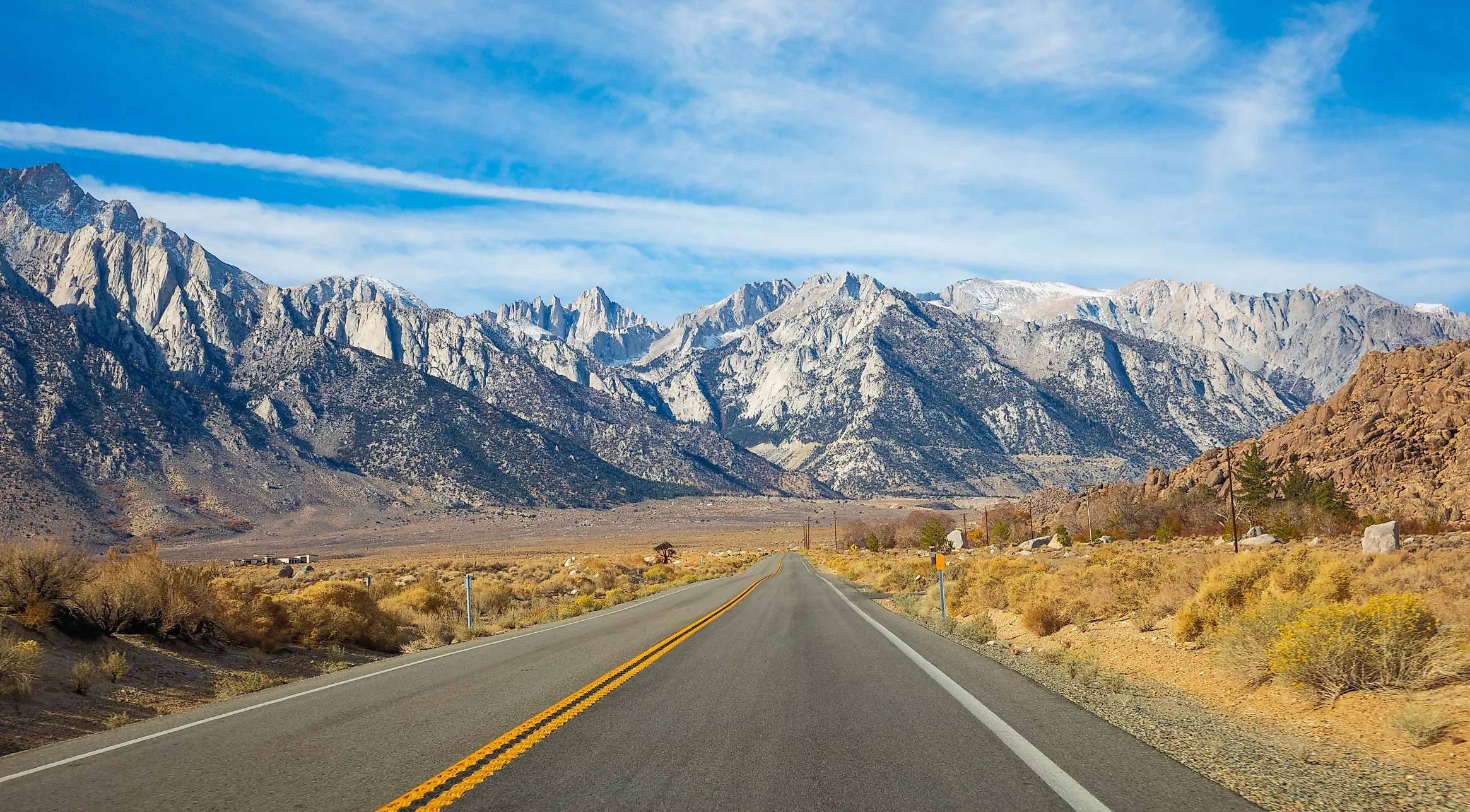
Remove Alaska from the US mountain ranking and California's Mount Whitney takes the top spot. The National Park Service gives its summit elevation as 14,505 feet, making Whitney the highest mountain in the contiguous United States and the highest anywhere in the country outside Alaska.
Colorado's Sawatch Range accounts for the next three summits before Washington's Mount Rainier and California's Mount Williamson. The six mountains are separated by surprisingly little elevation. Whitney stands less than 100 feet above Rainier, even though the two peaks were built by very different geological processes.
Mount Whitney, California

Mount Whitney is the answer to the title, with a summit elevation of 14,505 feet according to the National Park Service. It sits on the boundary of Sequoia National Park and Inyo National Forest, high above California's Owens Valley. From the east, the Sierra Nevada climbs abruptly out of dry basin country because the range is an enormous tilted block of Earth's crust with a steep eastern escarpment.
The rock near the summit has a much older history. NPS geologists identify Whitney Granodiorite there, an intrusive igneous rock dated to roughly 83 million years ago. Magma cooled deep underground before uplift and erosion eventually exposed it near the crest of the Sierra.
Most hikers approach from Whitney Portal, where the trail starts at 8,360 feet. The shortest popular route covers 10.7 miles each way, leaving more than 6,000 feet of climbing before the summit. Ice axes and crampons can be necessary in spring and early summer. By mid-summer, the standard trail is generally nontechnical, although the altitude and long ascent remain serious challenges.
Mount Elbert, Colorado

The next summit lies in Colorado's Sawatch Range southwest of Leadville. The U.S. Geological Survey lists Mount Elbert at 14,433 feet in its national summit compilation, while the Forest Service likewise identifies it as Colorado's highest peak. Elbert also holds the elevation record for the entire Rocky Mountain chain. Its upper slopes lie above timberline, where forests give way to alpine tundra and exposed rock. Forest Service surveys of the Mount Elbert area record lodgepole pine, bristlecone pine, limber pine, spruce, fir, aspen, wetlands, and high tundra across a large elevation range. A climb steadily leaves most of that vegetation behind. By the upper mountain, low temperatures, wind, and a short growing season determine what can survive. Standard routes are hiking routes rather than technical glacier climbs, but they still carry hikers into an environment more than 14,000 feet above sea level.
Mount Massive, Colorado

Mount Massive reaches 14,421 feet in the USGS summit table and sits immediately north of Elbert in the Sawatch Range. Its upper mountain stretches across a long crest instead of narrowing quickly to one dominant point. The Forest Service records five separate summits above 14,000 feet along that crest.
Much of the mountain falls within the Mount Massive Wilderness west of Leadville. Broad alpine slopes occupy the ground above the forest, and several ridges remain high for considerable distances before reaching the main summit. The official USGS figures put only 12 feet between Massive and Elbert, roughly the height of a one-story room. That tiny numerical gap is enough to separate first and second place in Colorado. On Massive itself, the prolonged high crest is more noticeable than those 12 feet. A hiker can spend mile after mile surrounded by tundra, rock, and neighboring Sawatch summits while still approaching the highest point.
Mount Harvard, Colorado

Colorado keeps the next position with Mount Harvard, which the USGS lists at 14,420 feet. That puts its recorded summit just one foot below Mount Massive in the same federal compilation. Harvard stands in the Collegiate Peaks section of the Sawatch Range west of Buena Vista, surrounded by other fourteeners and protected high country.
Long creek valleys and forested approaches lead toward open alpine basins below the summit. Higher up, trees disappear and low tundra plants occupy patches between talus and exposed rock. These high basins also carry signs of the glaciers that once occupied the Colorado Rockies. Ice widened valleys, excavated bowl-shaped cirques, and left steep mountain walls around sections of the Sawatch Range. Harvard's elevation is so close to Massive's that the exact number depends on keeping survey references consistent. The USGS table is useful here because it reports all of these summits from the same topographic compilation instead of mixing figures drawn from different modern and historical datums.
The summit area remains part of a much larger sweep of high ground rather than an isolated peak above low country. Neighboring mountains stay above 13,000 and 14,000 feet across the surrounding skyline, which helps explain why the central Sawatch contains such a concentrated group of the nation's highest summits.
Mount Rainier, Washington
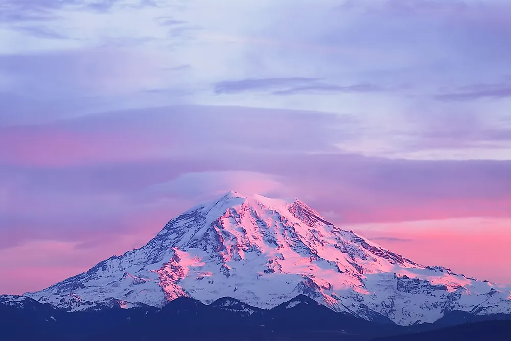
Mount Rainier reaches 14,410 feet at Columbia Crest, according to the National Park Service. It is the fifth-highest summit in the contiguous United States, but its geology bears little resemblance to the granite peaks of the Sierra Nevada or the high ridges of Colorado. Rainier is an episodically active stratovolcano. Volcanic activity began roughly half a million to one million years ago, and repeated eruptions built layers of lava and loose volcanic material into the present cone.
Ice occupies a major part of the upper mountain. NPS identifies Rainier as the most heavily glaciated peak in the contiguous United States, with more than 35 square miles of snow and ice. Emmons Glacier is the park's largest, while Carbon Glacier extends the farthest. The moving ice has cut deep valleys between volcanic ridges and supplies major river systems flowing away from the mountain.
Those glaciers also change what it takes to stand on the summit. NPS says every climbing route requires glacier travel, with climbers facing crevasses, steep snow, rapidly changing weather, and more than 9,000 feet of vertical gain. Lower elevations offer a much easier look at the same ice-covered cone, particularly around Paradise and Sunrise.
Mount Williamson, California

California's Mount Williamson occupies the sixth position. The USGS summit compilation lists it at 14,370 feet, making it the second-highest mountain in the Sierra Nevada after Whitney. Williamson rises along the range's steep eastern side north of Lone Pine, with Owens Valley thousands of feet below. Reaching the upper mountain requires considerably more commitment than its proximity to Highway 395 might suggest. The Forest Service's Shepherd Pass route begins around 6,300 feet for hikers and reaches 12,000-foot Shepherd Pass after roughly 11 miles, before a climber has even finished the approach toward Williamson's summit. The same high country provides habitat for Sierra Nevada bighorn sheep, a federally managed mountain population associated with the Mount Williamson area. From Owens Valley, Williamson's eastern walls and high crest are visible above the broad alluvial slopes at the foot of the Sierra, exposing much of the enormous vertical change between the desert basin and California's second-highest summit.