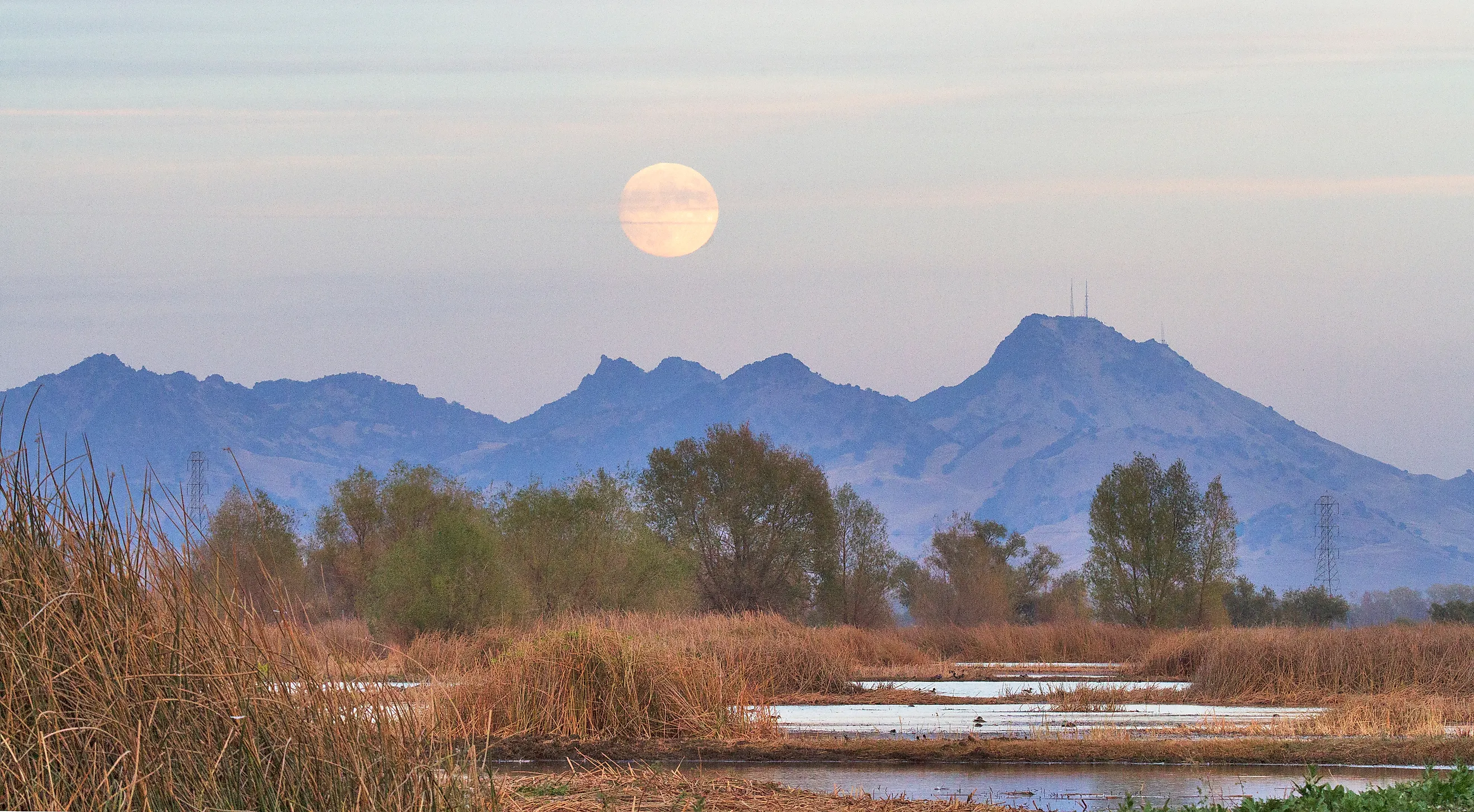
The Shortest Mountain Range In The United States
Jutting up from Sacramento Valley's productive farmlands seemingly at random is a tight cluster of rocky peaks and secluded valleys, all extending not much more than 10 miles. The so-called Sutter Buttes are an isolated formation molded from the remains of an ancient volcano and are widely considered the smallest/shortest mountain range in the world, let alone the United States. Its limited size still contains a substantial history, from Indigenous traditions to generations of ranching. However, exploring the wild interior of the Buttes today takes special planning since most of the land here is privately owned. For those who still want to see it up close, scheduled guided hikes can reveal a terrain that looks very different from the nearby working fields. Before you go, read on to learn more about this unique geological oddity.
Geological History

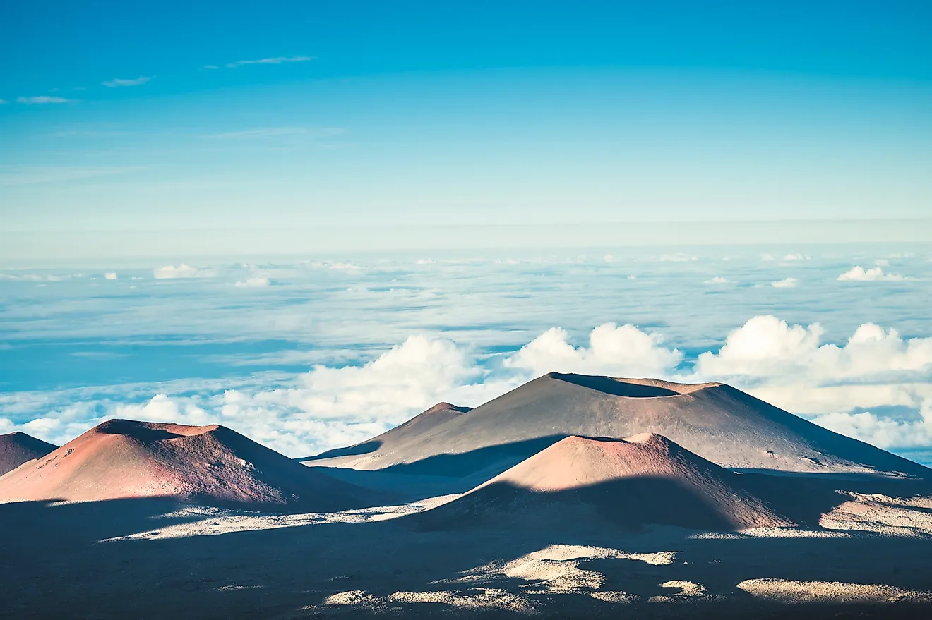
The Sutter Buttes formed during a period of volcanic activity approximately 1.6 to 1.4 million years ago, in the early Pleistocene Epoch. Magma forced its way through thick sedimentary deposits beneath what is now the Sacramento Valley, beginning with sticky, silica-rich rhyolite. Rather than spreading far across the ground, this viscous lava accumulated around eruption openings, building steep domes instead of the flatter lava fields you'd see in Hawaiʻi or Craters of the Moon National Monument and Preserve.
About 30,000 years after the initial eruptions, types of rock called andesite and dacite emerged through multiple vents, creating larger domes within the volcanic center. As magma pushed upward, it also bent and lifted the sedimentary layers, leaving some beds standing vertically or overturned. Explosions and collapsing domes then sent hot mixtures of gas, ash, and broken rock down the slopes. These pyroclastic flows, together with mudflows, deposited the broad ring of debris surrounding the central peaks. Have no worries while exploring for yourself these days, the volcano is considered inactive, and renewed eruptions are considered unlikely.
After the eruptions ended, streams and weathering gradually reshaped the volcano. Erosion removed softer sedimentary rocks around its core, forming an intervening belt of moat-like valleys while cutting channels through the outer debris deposits, too. The surviving domes now form the highest hills in the range. Lastly, the Sutter Buttes are often associated with the Coast Ranges volcanism near Clear Lake rather than the Cascades, though their origin is still debated.
The Range's Current Geography

Surrounded by the relatively flat farmland of the Sacramento Valley, the Sutter Buttes occupy a distinctly rural and isolated patch of Northern California in Sutter County. They lie a very short drive from Yuba City and around 50 miles (80 km) north-northwest of Sacramento.
Visible from quite some distance away, their circular outline extends about 10 miles (16 km) both east to west and north to south, including the outer volcanic debris deposits. The terrain here divides into several distinct zones. Steep volcanic domes form the central highlands, reaching roughly 2,120 feet (646 meters) above sea level at South Butte, the range's highest point. Around these hills, lower interior valleys form the aforementioned moat, separating the rocky core from an outer belt of gentler slopes. Various small streams can also be found radiating outward through this debris apron toward the agricultural plain. Moreover, grasslands and oak woodlands cover much of the lower terrain, with boulder-covered expanses often marking the steeper hills.
Peace Valley occupies part of the northern interior, which eventually empties out into a landscape of vineyards and farms. Beyond the foothills, rice fields and other cultivated land also surround the Buttes, as the volcanic soils here are rich and ideal for growing a variety of crops.
Local Flora and Fauna to Look Out For

Sutter Buttes in the springtime.
Blue oaks, interior live oaks, and pockets of wild grasslands give the Sutter Buttes a very different character from the cultivated fields close by. North Butte supports both oak species above an understory of native shrubs and flowering plants, with spring growth turning grassy slopes green before summer dries them to gold. Popular seasonal wildflower hikes explore places such as Brockman Canyon, where blooms vary with rainfall and timing. Poison oak also grows in parts of the Buttes, making careful footing and attention to surrounding vegetation worthwhile when getting around.
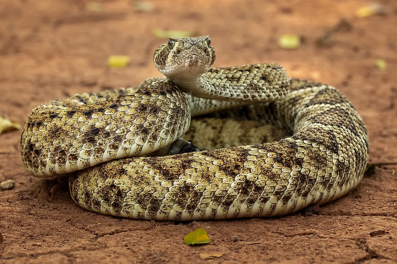
In terms of animals, these habitats house deer, gray foxes, and several species of birds that use the woodlands and open ground for shelter and food. Rocky outcrops then add crevices for reptiles like northern Pacific rattlesnakes and sagebrush lizards, as well as a few amphibians such as Sierran treefrogs and California slender salamanders.
A Human History of the Range

Long before ranches divided the Sutter Buttes, Indigenous communities gathered acorns, hunted game, and maintained deep spiritual connections to the mountains dating back thousands of years. The Nisenan, Maidu, and Patwin peoples incorporated the landmarks into their traditions, with seasonal visits linking the hills to settlements across the valley.
European American settlement expanded during the nineteenth century, and livestock grazing became a lasting use of the grasslands. Ranching families established homesteads and worked properties that still shape ownership today.
Previously called the Marysville Buttes, the formation officially became the "Sutter Buttes" in 1949. California State Parks purchased land on the northern side in 2003, helping to publicly maintain at least a portion of the range's ecologically productive zones.
Hiking the Sutter Buttes
Hiking the Sutter Buttes often requires advance planning because, as said, most of the land is privately owned. Services like Middle Mountain Interpretive Hikes have been able to lead registered visitors onto working ranches through agreements with the respective landowners. While part of it is also state park property, even that remains closed to the public, so arriving at a gate does not provide a starting point for an independent hike.
Guided outings generally take place on weekends from late October through April. Some are quite leisurely, while more demanding routes require greater fitness. Although it is not as simple as just going out on your own like you can do in most public wilderness areas, in this instance, you have the added benefit of a local expert who can explain the range's ecology and its natural/human histories.
Allow most of the day for your trip, with most excursions scheduled from morning to later in the afternoon. Wear hiking boots and bring drinking water, lunch, sun protection, and layers for potentially changing conditions. Trekking poles can help on uneven ground and save your knees, too, by the time the day is done. Also keep in mind that spring brings greener grasslands and seasonal wildflowers, while cooler autumn and winter outings offer a pleasant alternative to the intense summer heat that California's interior usually sees.