Why Some Rivers Carry More Water In Winter Than In Spring
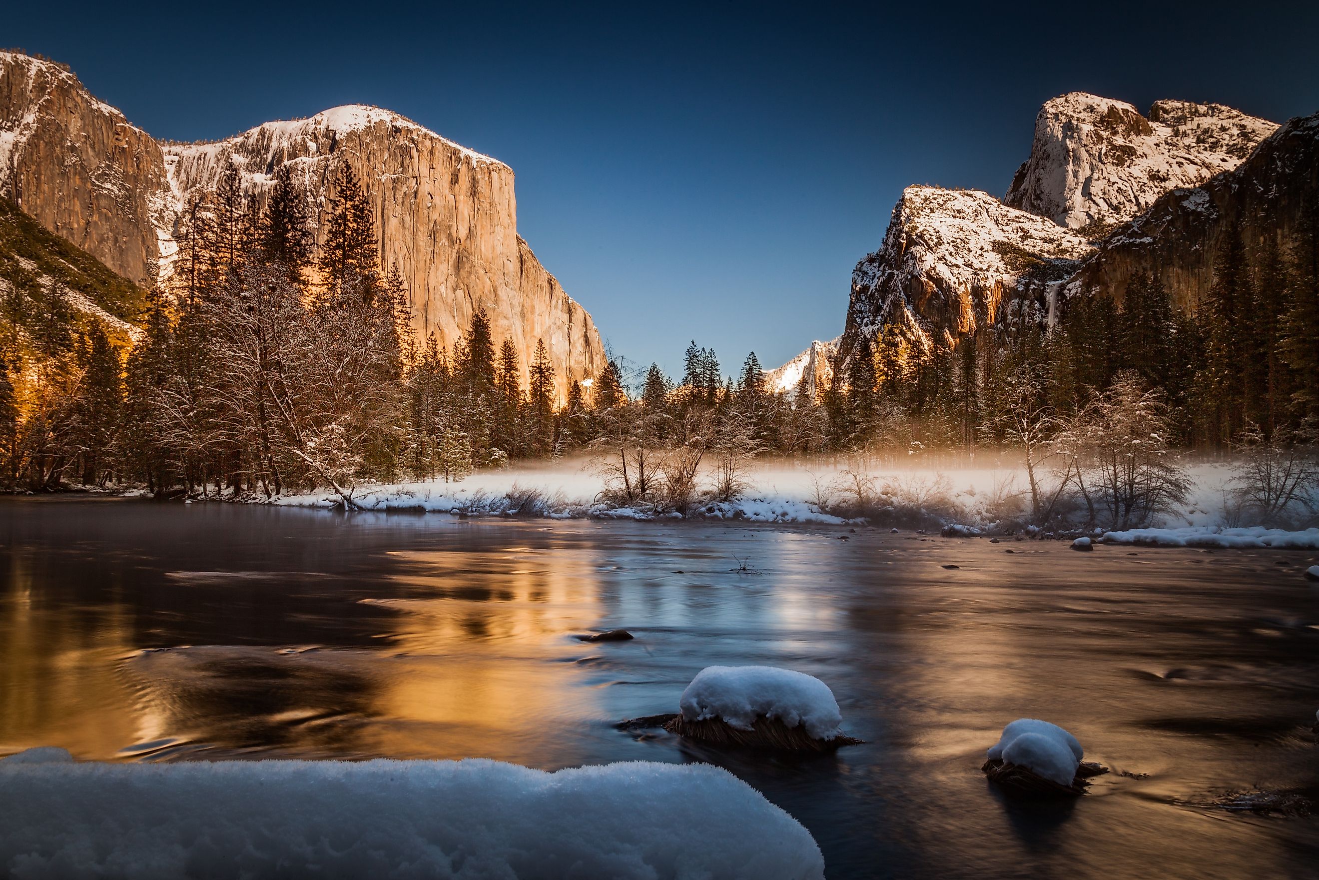
Some rivers carry more water in winter than in spring for a variety of reasons, including rainfall, evaporation, and snow accumulation. Along California's coast, winter rain can swell streams while mountain rivers store much of their future flow as snow. In Muir Woods, winter rain increases the flow in Redwood Creek. Farther inland, the Kings, Kaweah, and Kern River headwaters collect snow that releases water during spring and summer. These different landscapes reveal why warm spring weather does not always bring the highest river flows. The timing depends on when precipitation arrives, whether it falls as rain or snow, and how much water the surrounding land returns to the atmosphere.
Rain Reaches Rivers Faster Than Snow

The biggest reason for higher winter river flow is the difference between liquid rain and stored snow. Rain can enter streams during a storm, although some of it soaks into the ground or remains in the soil. Snow holds water on the landscape until warmer temperatures melt it. A wet winter will therefore have different effects on a mild coast than on a cold mountain.
A watershed is an area of land where precipitation drains into a common stream, river, lake, or other outlet. When winter precipitation falls mainly as rain, rivers can receive large amounts of water quickly. When snow dominates, much of that water remains stored until spring or summer. Snowpack in the Sierra Nevada, for example, acts as a frozen reservoir. Rain-fed rivers lack the same degree of seasonal snow storage, so their high-water season can arrive months earlier.
Cooler Weather Evaporates Less Water

Rainfall alone does not determine how much water reaches a river. Some water returns to the atmosphere through evaporation from soil and water surfaces. Plants also absorb water and release vapor through their leaves, a process called transpiration. Together, these processes are known as evapotranspiration. As temperatures rise and vegetation becomes more active in spring, evapotranspiration can increase, reducing the amount of water available to feed rivers.
During cool winter conditions, lower evapotranspiration can allow more precipitation to replenish groundwater or reach streams. Not every river declines in spring, since snowmelt or heavy rainfall can outweigh these losses. However, seasonal differences in evapotranspiration help explain why similar amounts of precipitation can produce different streamflows at different times of year.
Wet Ground Makes Winter Storms More Effective

The condition of a watershed before a storm helps determine how much runoff reaches its rivers. Rain falling after a dry period may first replenish depleted soil moisture. After repeated storms, however, saturated soils have less capacity to absorb additional rainfall. More water can then flow across the surface or through shallow subsurface pathways into streams. Winter river flow therefore reflects accumulated wetness as well as the rain falling during an individual storm.
A 2020 study of 57 snow-dominated watersheds in the western United States found that runoff efficiency was highest during winter. This means a greater proportion of water input became streamflow. Although spring snowmelt often generated greater total streamflow, winter rainfall could produce particularly efficient runoff when conditions favored water reaching river channels. A thoroughly soaked watershed can therefore respond quickly to additional winter precipitation.
Atmospheric Rivers Can Increase Flows

Coastal California generally has cool, wet winters and warm, dry summers. The timing and strength of individual storms determine when rivers rise. A dry winter can leave a normally rain-fed river like the Eel River unusually low. Regional climate establishes the usual seasonal pattern, but individual years can vary considerably.
Atmospheric rivers are long, narrow bands that transport large amounts of water vapor through the atmosphere. When they reach land, they can produce substantial rain or snow. Along California's coast, winter atmospheric rivers can deliver enough rainfall to rapidly raise streamflow, particularly when earlier storms have already saturated the watershed. Their influence helps explain why a river's most dramatic rise may occur before spring.

At Point Reyes National Seashore and Golden Gate National Recreation Area, strong atmospheric rivers in February and March 2019 caused high streamflows, flooding, erosion, and landslides. Saturated slopes failed, in particular at Drakes Beach. These events illustrate how repeated winter storms can produce significant hydrological impacts before the traditional spring snowmelt season.
Rain on Snow Can Release Water Early

Some watersheds receive both rain and snow during winter. In these places, a warm storm can deliver rainfall while accelerating snowmelt. Water that might otherwise have remained frozen until spring can reach rivers earlier. When heavy rainfall and melting snow occur together, the combined runoff can produce unusually high winter flows.
The Kaweah River near Sequoia National Park illustrates this process. In January 1997, warm rainfall and melting snow contributed to severe flooding and extensive damage across the region. The river also experienced substantial high flows during storms in December 2010. These events demonstrate why even a mountain river normally associated with spring snowmelt can experience major winter flooding.
Groundwater Can Sustain Winter Streamflow

Not all water reaches a river by flowing quickly across the surface. Some precipitation infiltrates the ground and moves through soil and rock before entering a stream. This slower contribution, called base flow, can keep rivers running between storms. The amount of groundwater reaching a river depends on local geology, soil conditions, vegetation, and the hydraulic connection between groundwater and the river channel.
USGS research in coastal Georgia and adjacent parts of Florida and South Carolina found that groundwater contributions to streamflow are greatest during winter, when evapotranspiration is low. Rainfall can replenish aquifers effectively during the cooler, nongrowing season. Groundwater levels in many shallow aquifers rise during winter and reach seasonal highs in winter or early spring. This stored water can sustain river flow long after individual storms have passed, although the timing varies with local conditions.
Consequences of High Winter Flows

Two California waterways named Redwood Creek demonstrate the effects of high winter water levels. In Redwood National and State Parks, the northern Redwood Creek runs high and fast during the wet season. Seasonal footbridges along the Redwood Creek Trail are removed until summer, and gravel-bar camping is restricted during the wetter months. These measures reflect the hazards associated with seasonal changes in streamflow.
Farther south, another Redwood Creek flows through Muir Woods in the San Francisco Bay Area. Winter flows allow endangered coho salmon to travel upstream to spawn. Insufficient water can prevent fish from reaching spawning habitat, while exceptionally strong flows can disturb streambed gravel and damage developing eggs. Seasonal river conditions therefore affect both wildlife and human access to waterways.
Seasonal Patterns
A major winter flood does not necessarily mean a river consistently carries more water in winter than spring. A river might reach its highest flow rate during a January flood but carry a greater total volume of water during weeks of sustained spring snowmelt. In rain-dominated watersheds, repeated winter storms and low evapotranspiration can produce higher flows before spring arrives. In snow-dominated watersheds, much of the winter precipitation remains stored until warmer weather releases it. These differences explain why some rivers carry more water in winter while others reach their annual highs during spring or summer.