The Snowpack That Feeds The Entire Colorado River
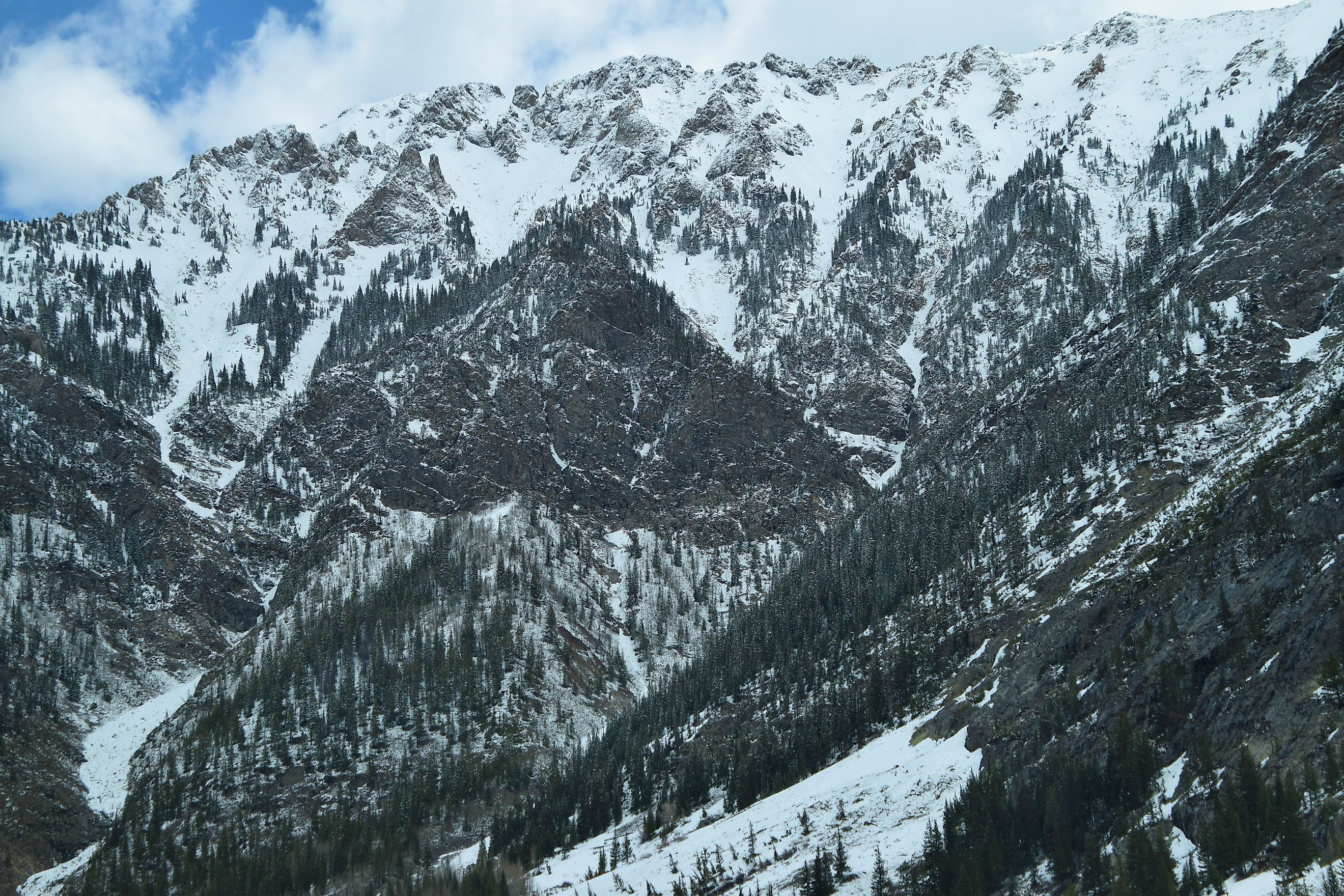
The Colorado River supplies roughly 40 million people and nearly 5.5 million acres of farmland across seven states and Mexico, and almost all of that water falls as snow on an area covering about 15 percent of the Upper Basin. That is the number worth sitting with. USGS Circular 1502 puts it plainly: high mountain terrain making up around 15 percent of the Upper Basin's land area produces about 85 percent of the river's annual flow. Reclamation's 2026 Final Environmental Impact Statement supplies the reason, noting those mountain rims average more than 40 inches of precipitation a year while most of the basin is arid or semi-arid and receives under 20.
Here is where that snow actually lands, why it matters more than rain, and how a handful of mountain ranges came to hold up the entire Southwest. The concentration is the story, and it gets tighter the closer you look.
The Snowpack Is A Second Reservoir

The seasonal snowpack behaves like a piece of storage infrastructure that nobody built and nobody maintains. It fills through the winter, holds through the cold months and empties in a rush in spring, and the volumes involved are directly comparable to the dams downstream.
Average peak snowpack in the Upper Basin runs to roughly 18 million acre-feet of water, which is about 70 percent of Lake Powell's entire capacity. Every year that volume assembles itself on the mountains for free, then delivers itself to the reservoirs without a pump or a canal.
The Colorado Headwaters
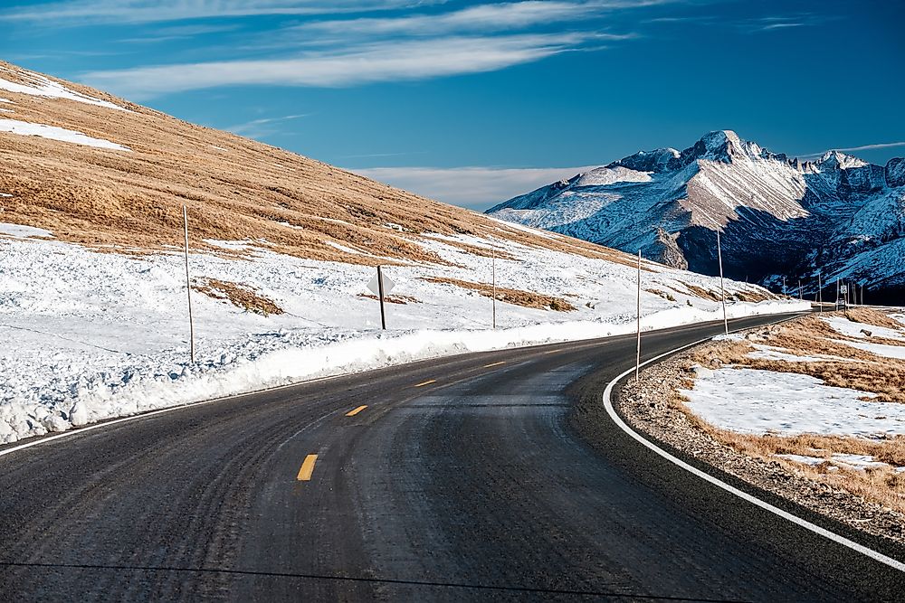
The river proper begins in Rocky Mountain National Park in northern Colorado, in country that stays snow-covered for much of the year and holds some of the most closely watched measurement sites in the basin. This is the snow that becomes the main stem.
Colorado operates 198 SNOTEL and snow course sites, and the Colorado Headwaters basin is one of the readings that moves markets, because it feeds the main stem directly. A single number from these stations in early April tells water managers in Arizona and California roughly what kind of year they are about to have.
The Wind River Range, Wyoming

The single most underappreciated snowpack in the system sits in western Wyoming. The Green River rises in the Wind River Range and runs 730 miles to its confluence with the Colorado in Canyonlands, which makes it the longest tributary in the entire system.
Most people discussing the Colorado River never mention Wyoming, and yet a substantial share of what eventually reaches Lake Powell fell as snow on these peaks. The Wind Rivers are high, cold and glaciated, and they hold snow later into the summer than almost anywhere else in the basin.
The Uinta Mountains, Utah

The Uintas are the only major range in the contiguous United States running east to west rather than north to south, and they are the other significant contributor to the Green River system in Utah. That orientation matters for snow. An east-west range presents a long north-facing wall that holds snowpack through spring, and the Uintas carry deep accumulation well into the melt season. Along with the Wind Rivers they make the Green a genuinely snowmelt-driven river in its own right rather than a tributary that simply adds volume.
The San Juans And The Southern Basin

The San Juans in southwestern Colorado feed the San Juan River and, through it, Navajo Reservoir and Lake Powell. They are also the part of the system that tends to fail first, and in recent years they have been failing badly.
Southern basins peak earlier than northern ones, typically between April 2 and April 8, and they sit closest to the desert Southwest, which makes them the most exposed to a warm dry winter. In recent seasons the southern Colorado basins have repeatedly come in far below the northern ones, sometimes at half the median while the north sat near normal.
Why Snow Beats Rain
An inch of precipitation is not worth the same amount of water depending on the form it arrives in, and the difference is far larger than most people assume. Snow has more than twice the runoff efficiency of rain in this basin. Rain falling on dry ground in summer largely soaks in or evaporates before it reaches a channel, while snow accumulates all winter and then releases in one concentrated pulse when the soil is already saturated and the air is cool. The same total precipitation delivered as rain would produce a fraction of the streamflow.
Roughly 80 percent of the precipitation at the Colorado's headwaters arrives as snow. That is why the basin's water supply is keyed to temperature as tightly as it is to how much actually falls, and why a warm winter can be as damaging as a dry one.
April 1 Is The Number Everyone Watches
Peak snow water equivalent has traditionally been measured on April 1, and that single date has become the annual verdict for the entire Southwest. The real peak varies. Colorado's statewide median peak falls around April 8, while southern basins can top out in late March and northern ones not until late April. But April 1 remains the benchmark for forecasting, and the number published that week determines reservoir operations, shortage declarations and interstate negotiating positions for the following year.
It is a remarkably thin thread. Forty million people's water supply is forecast from snow depth readings taken at a few hundred automated stations on mountains most of them will never visit.
California Gets The Storms First
Here is the connection that explains why Western droughts tend to arrive everywhere at the same time. Research on atmospheric rivers found that these storms deliver on average 11.4 snow-accumulating days a year in the Upper Colorado Basin, and that they account for 30.8 percent of the basin's average annual peak snow water equivalent. Nearly a third of the Colorado's snowpack arrives in about eleven days.
The same study found that 84 percent of atmospheric river days in the Upper Colorado Basin are also atmospheric river days in the Sierra Nevada. The storms that fill the Colorado basin mostly hit California first, which is why a bad year in the Sierra and a bad year in the Rockies so often turn out to be the same bad year.
The High Snow Does The Most Work
Within the headwaters, elevation sorts the contribution sharply, and in dry years the pattern runs opposite to what you might expect. USGS work using stable isotopes on the East River in Colorado found that high-elevation snowmelt supplied an average of 44 percent of the snowmelt hydrograph, rising to as much as 70 percent as the melt season progressed. The same relationship held on the larger Gunnison and Colorado catchments.
Crucially, high-elevation contributions were larger in years with lower snowpack and warmer springs. When the low and middle elevations melt out early, the alpine snow is what is left carrying the river, which makes the very highest ground the most important and the most vulnerable part of the whole system.
What Is Actually Changing

The concerning projection is not principally about less precipitation falling. Modeling of the Upper Colorado Basin suggests winter totals may hold steady or even rise, while warming shifts the form of that precipitation from snow to rain.
That produces less seasonal storage and lower snow water equivalent even in years that are not dry by the rainfall measure, along with earlier and flashier runoff. A basin engineered around snow arriving in winter and leaving in early summer does not work the same way when the same water arrives as rain and leaves immediately.
The basin is also in its driest stretch in roughly 1,200 years, which is the backdrop to every measurement taken over the past two decades and the reason none of these figures can be read as a normal fluctuation.
The Whole System On One Number

Set it all out and the Colorado River is an unusually concentrated piece of hydrology. Fifteen percent of the Upper Basin's area produces 85 percent of its flow. Those mountains get more than twice the precipitation of the rest of the basin. Eighty percent of it falls as snow, and roughly a third of the peak snowpack arrives in about eleven days of atmospheric river storms that hit California on the way through.
That is what supports 40 million people and 5.5 million acres of farmland. Not a river, exactly, but a seasonal accumulation of snow on a relatively small amount of high ground, measured every spring by a few hundred stations, and increasingly arriving in the wrong form at the wrong time.