The Saltiest Rivers In America
The Salt Fork of the Brazos River is as salty as the sea and runs through ranch country 400 miles from the nearest beach. None of that salt comes from any ocean still found today. It comes from one that disappeared roughly 250 million years ago. Groundwater has been leaching those beds ever since, and in country that gets too little rain to flush them, the brine surfaces in springs and feeds rivers that look ordinary and taste like the sea. Ranked by the salinity of their saltiest monitored reach, these are the ten saltiest rivers in America.
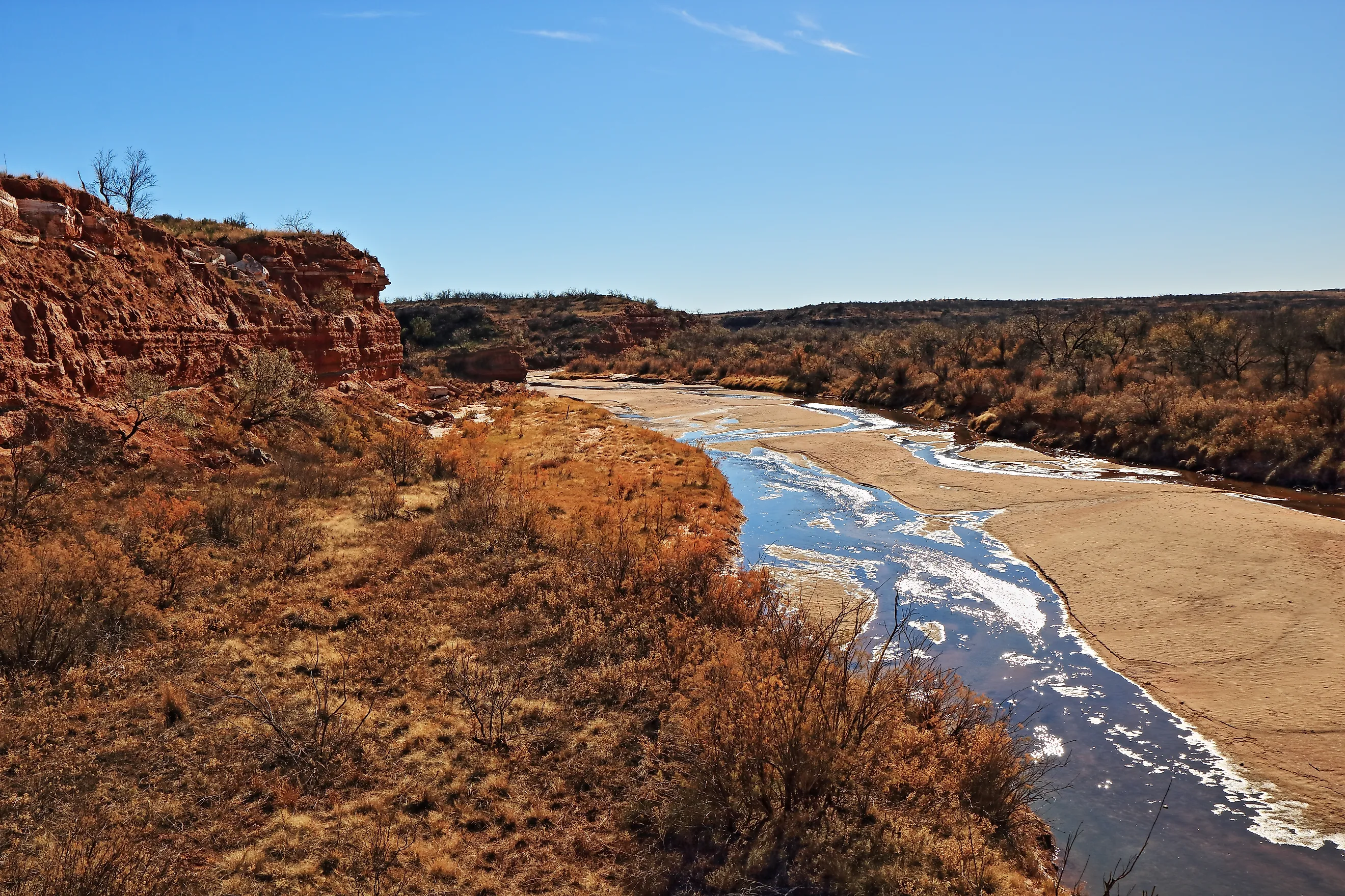
Salt Fork Brazos River, Texas

The Salt Fork Brazos River carries an extraordinary mean TDS concentration of 35,862 mg/L. Texas Commission on Environmental Quality monitoring produced that average between December 2017 and November 2024. The concentration is close to the roughly 35,000 mg/L associated with average seawater. Mean chloride alone reached 22,857 mg/L.
The source lies beneath the dry plains of West Texas. Permian rocks contain evaporite deposits formed when ancient seawater disappeared and left thick accumulations of soluble minerals. Groundwater dissolves those deposits and emerges through salty springs and seeps. USGS investigations identified Croton Creek and Salt Croton Creek as particularly important sources entering the Salt Fork system. Historical studies found that the Salt Fork supplied most of the chloride reaching the upper Brazos River around Possum Kingdom Reservoir.
South Fork Wichita River, Texas

The South Fork Wichita River recorded a mean TDS concentration of 30,272 mg/L during the 2017-2024 TCEQ assessment period. Mean chloride exceeded 16,000 mg/L, making the river one of the most heavily mineralized flowing waters monitored in Texas.
Natural salt springs provide much of that load. Groundwater moves through Permian evaporite formations beneath north-central Texas, dissolving chloride and other minerals before reaching the river. During dry periods, brine can account for a larger share of the total flow, pushing mineral concentrations higher.
The salinity prompted an unusual river-management project. Highly saline low-flow water is intercepted along the South Fork and pumped toward Truscott Brine Lake for evaporation. The system forms part of a long-running federal effort to keep some of the natural salt load out of Lake Kemp and downstream water supplies.
Prairie Dog Town Fork Red River, Texas

The lower Prairie Dog Town Fork Red River averaged 27,127 mg/L of total dissolved solids during TCEQ's 2017-2024 assessment. Forty-nine TDS measurements contributed to that figure, while mean chloride reached 11,784 mg/L. Groundwater circulating through Permian evaporite deposits acquires large quantities of salt before emerging into the river system. Estelline Salt Springs became such an important source that the U.S. Army Corps of Engineers enclosed them with a ring dike in the 1960s. The structure keeps a substantial chloride load from entering the river, yet the lower Prairie Dog Town Fork remains exceptionally saline.
Pease River, Texas

The saltiest monitored reach of the Pease River system averaged 19,660 mg/L of TDS between December 2017 and November 2024. TCEQ recorded that figure in the Upper Pease/North Fork Pease segment, where 43 TDS observations were assessed. Mean chloride reached 9,323 mg/L.
The monitored area includes the Pease River upstream to its confluence with the Middle Fork and the adjoining North Fork farther west. Groundwater moving through soluble deposits beneath this part of northwest Texas carries salt into the channels through seeps and springs. Limited rainfall leaves less freshwater available to dilute those inputs.
Salinity falls farther downstream as additional flows join the river. TCEQ monitoring of the lower main-stem Pease produced substantially lower mineral concentrations, showing how sharply water chemistry changes within the same river system before the Pease eventually enters the Red River.
Red River Above The Pease River, Texas And Oklahoma

The Red River along the Texas-Oklahoma boundary becomes intensely mineralized before reaching its junction with the Pease River. TCEQ measurements collected during the 2017-2024 assessment period produced mean TDS of 17,017 mg/L. Mean chloride reached 7,756 mg/L.
Much of that salt arrives through western tributaries instead of developing uniformly along the main river. The Prairie Dog Town Fork already carries an enormous mineral load when it helps form the Red River, while saline groundwater and natural springs add further dissolved material across the upper basin.
Conditions change farther downstream. Incoming tributaries increase total flow and progressively dilute the mineral concentration. Salinity can therefore differ markedly between two reaches of the Red River even though the dissolved salts originate from the same broad belt of Permian geology.
Wichita And North Fork Wichita River, Texas

The Wichita and North Fork Wichita River segment averaged 13,572 mg/L of total dissolved solids during TCEQ's 2017-2024 assessment. Mean chloride was 5,654 mg/L, while sulfate averaged 2,119 mg/L. Salt reaches the system through groundwater and natural seeps associated with Permian formations beneath north-central Texas. Some of the most concentrated sources occur upstream, including along the South Fork Wichita. Salinity-control projects intercept part of that brine before it moves downstream, but the Wichita still carries a mineral concentration far above that of ordinary freshwater rivers. Its unusual chemistry has influenced water-supply planning across the basin for decades.
Upper Pecos River, Texas

The Pecos River enters Texas already carrying a substantial mineral load, then becomes even saltier across parts of the Permian Basin. TCEQ's 2017-2024 assessment of the Upper Pecos produced mean TDS of 11,341 mg/L from 99 assessed observations. Mean chloride reached 5,390 mg/L, while sulfate averaged 3,072 mg/L.
Natural saline groundwater is a major contributor. Water moving through salt-bearing rocks enters the Pecos through springs and subsurface discharge. Irrigation return flows can contribute additional dissolved material, while water withdrawals and strong evaporation reduce the amount of fresher water available for dilution.
Individual Pecos measurements can climb considerably above its recent mean. USGS sampling has recorded concentrations above 16,000 mg/L in particularly saline reaches. Those peaks demonstrate how extreme conditions can become, while the long-term mean better reflects sustained salinity across repeated observations.
Cimarron River Near Dover, Oklahoma

The Cimarron River in western and central Oklahoma crosses an extensive belt of Permian rocks containing salt and gypsum. A USGS statistical analysis of water-quality observations at the Dover monitoring station calculated mean dissolved solids of 8,093 mg/L. Individual samples have climbed beyond 20,000 mg/L.
The river becomes salty as groundwater interacts with highly soluble evaporite beds in western Oklahoma. Mineral concentrations vary considerably along its course. Base-flow samples historically reached about 16,600 mg/L near Waynoka before falling farther downstream as less mineralized groundwater and tributaries added fresher water. At Dover, the multi-sample mean still reflects an exceptionally large dissolved-mineral load for an inland river.
Salt Fork Arkansas River Near Jet, Oklahoma

The Salt Fork Arkansas River carries some of Oklahoma's most mineralized flowing water. USGS reports mean TDS concentrations of roughly 6,000 mg/L near Jet, compared with substantially lower concentrations farther upstream near Alva.
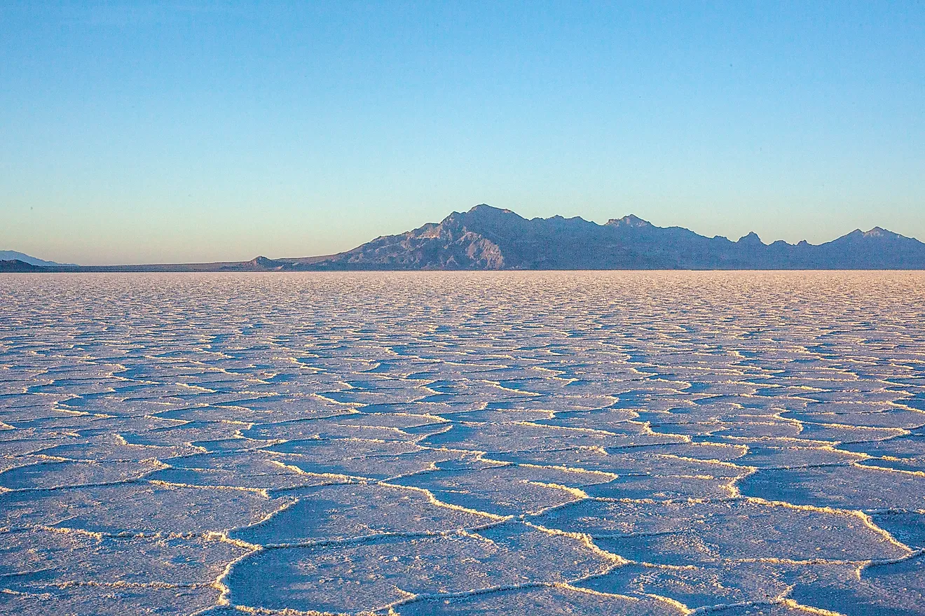
Much of the salt is associated with the Great Salt Plains. Groundwater dissolves buried salt deposits, while mineral-rich water enters the river around the Great Salt Plains National Wildlife Refuge and reservoir. Water leaving the reservoir adds another concentrated source to the channel downstream.
The effect weakens as the Salt Fork continues east. Fresher tributaries progressively dilute the dissolved minerals, causing salinity to fall with distance from the Great Salt Plains. Near Jet, however, the combination of groundwater, salt deposits, and reservoir outflow keeps concentrations unusually high.
Colorado River Below Lake J.B. Thomas, Texas

The upper Texas Colorado River below Lake J.B. Thomas averaged 4,491 mg/L of total dissolved solids during TCEQ monitoring from December 2017 through November 2024. The figure came from 64 assessed TDS measurements. Mean chloride reached 1,825 mg/L, while sulfate averaged 957 mg/L.
The salinity is concentrated in the upper basin, where the river crosses dry terrain underlain by mineral-rich formations. Natural saline groundwater contributes dissolved material, and tributaries such as Beals Creek can introduce additional salts from nearby saline areas. Farther downstream, larger inflows dilute the upper basin's mineral load.
The Colorado's chemistry therefore changes dramatically before it reaches Central Texas and the Gulf Coast. Its saline upper reach bears little resemblance chemically to the much fresher river passing through the Highland Lakes hundreds of miles downstream.
Why America's Saltiest Rivers Cluster In The Southern Plains
Texas and Oklahoma contain many of the country's most saline inland rivers because large parts of the region overlie ancient marine deposits. Permian seas repeatedly flooded and retreated across the area hundreds of millions of years ago. Their evaporation left salt, gypsum, and related minerals buried in the rocks.
Modern groundwater dissolves those deposits and carries the minerals toward rivers through springs and seeps. A relatively dry climate limits the freshwater available for dilution. The result is unusually saline water across the upper Brazos, Red, Wichita, Pease, Cimarron, Arkansas, Pecos, and Colorado river systems. Much of that salt comes from the remains of seas that disappeared deep in geological time.