The River That Forms The Longest State Border
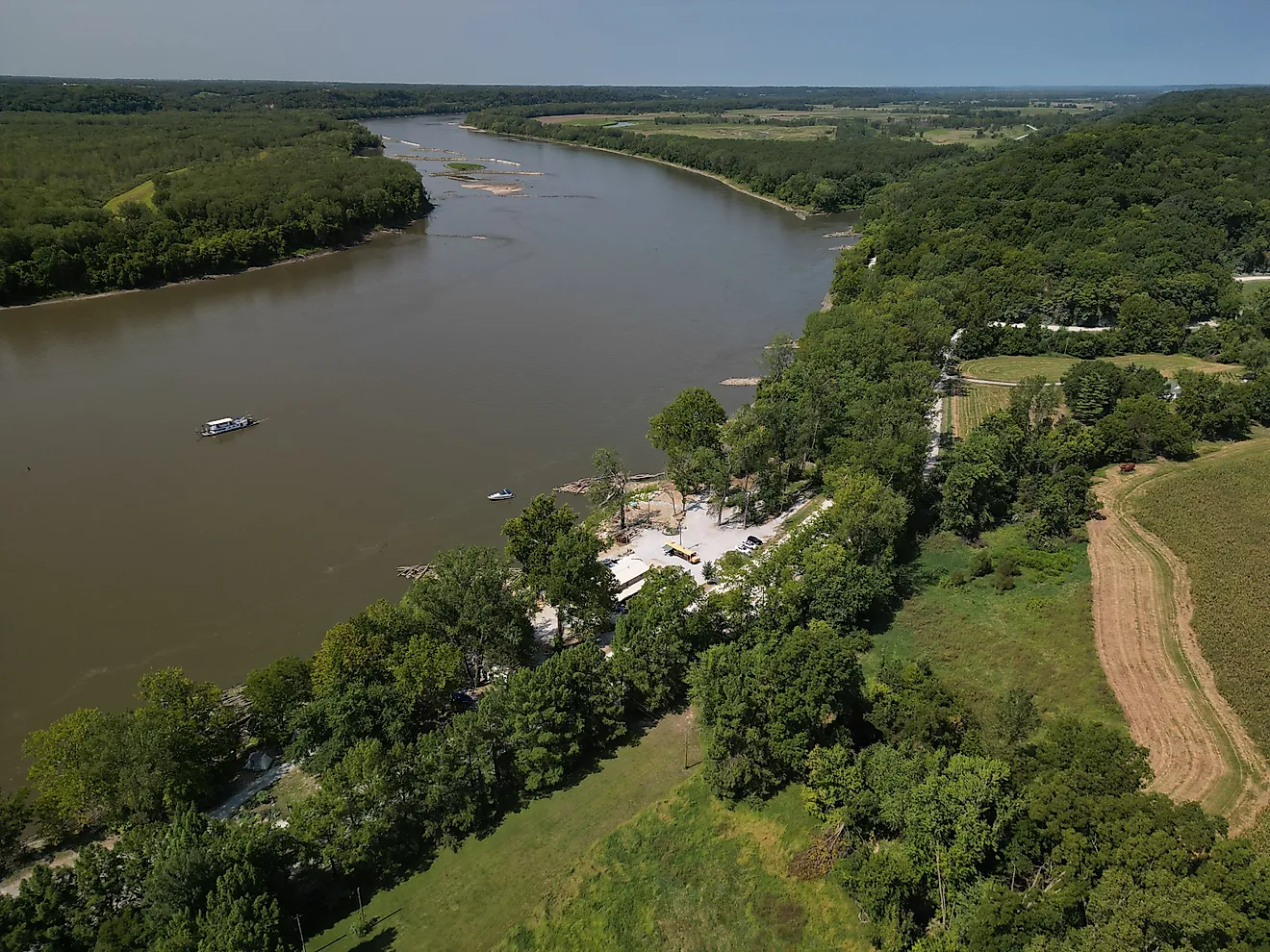
The Mississippi River forms hundreds of miles of state boundaries as it flows south from its Minnesota headwaters toward the Gulf of Mexico. Along Illinois alone, it marks roughly 581 miles (935 km) of the state's western border. However, a state's total river border is not the same as the length of a border shared by two states, a distinction that matters when comparing interstate boundaries.
The Mississippi separates neighboring states, shapes their political geography, and provides a natural reference point for legal boundaries. Its course has helped define state lines for generations, although changes in the river's channel have sometimes complicated the question of where those lines actually lie.
A River That Separates Multiple States
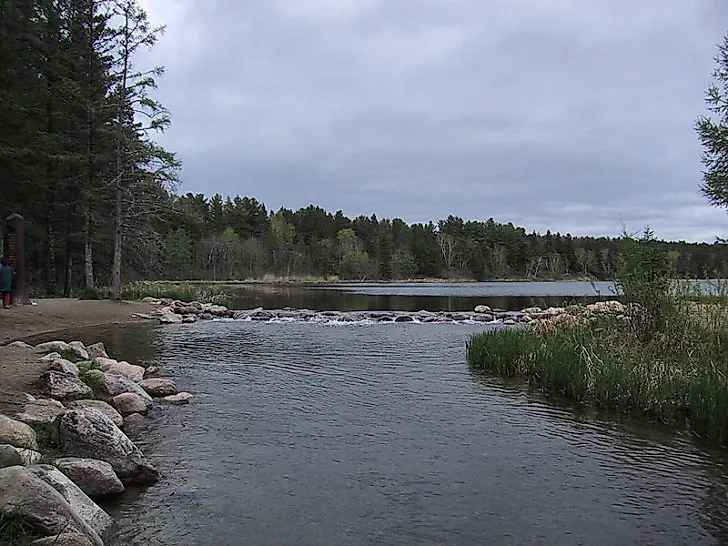
The Mississippi begins at Lake Itasca in northern Minnesota and flows approximately 2,340 miles (3,766 km) south through a wide range of landscapes. Along the way, it passes through or borders 10 states: Minnesota, Wisconsin, Iowa, Illinois, Missouri, Kentucky, Tennessee, Arkansas, Mississippi, and Louisiana.
Along its course, the Mississippi separates Minnesota from Wisconsin, Wisconsin from Iowa, Iowa from Illinois, and Illinois from Missouri. Farther south, it forms portions of the boundaries between Missouri and Kentucky, Missouri and Tennessee, Arkansas and Tennessee, Arkansas and Mississippi, and Mississippi and Louisiana. The exact stretches vary, but together they show how the river serves as a boundary for states across the Midwest and South.
These different stretches explain why the river's total length cannot be used as the length of a single state border. Each boundary has its own endpoints, neighboring states, and legal history. To compare them accurately, measurements must refer to the same type of geographic feature.
How Many Miles of State Border the Mississippi Forms
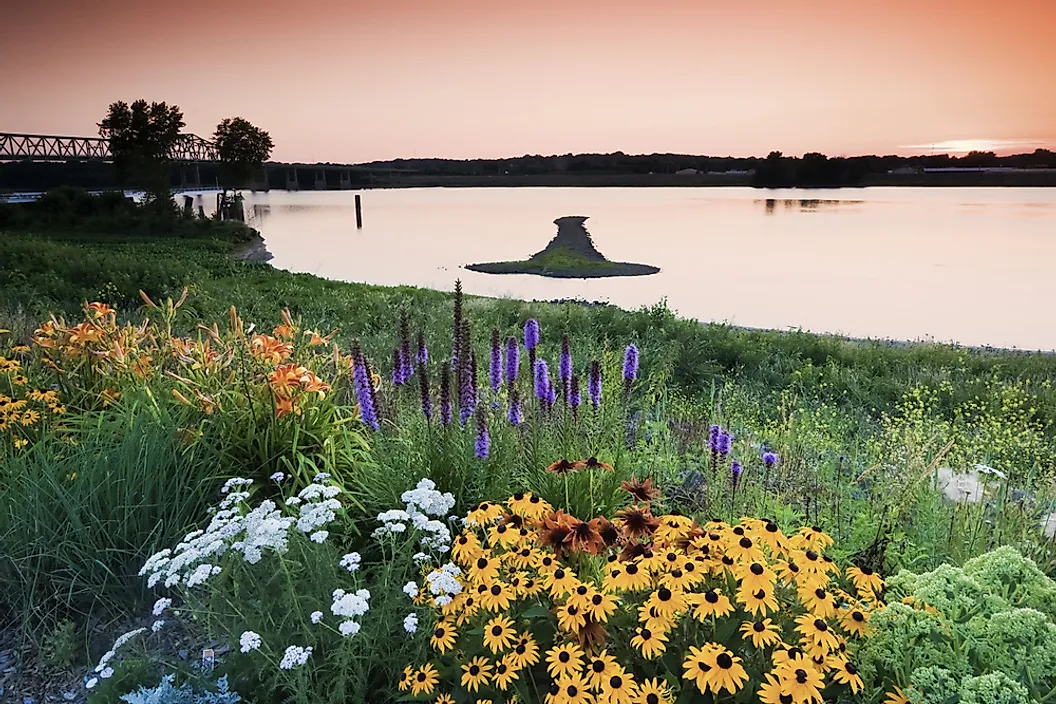
Illinois provides one of the clearest examples of the Mississippi's role as a state boundary. The Illinois Department of Natural Resources reports that the river forms approximately 581 miles (935 km) of the state's western border. The stretch runs from the state's northwestern region toward Cairo, where the Mississippi meets the Ohio River.
That figure describes the Mississippi along Illinois's western side, rather than the length of a border shared exclusively with one neighboring state. The river separates Illinois from Iowa in the north and from Missouri farther south. As a result, the state's total river-border measurement includes stretches involving different states.
Missouri provides another example. According to the Missouri Department of Natural Resources, the Upper Mississippi separates eastern Missouri from western Illinois for approximately 361 miles (581 km), ending near the confluence with the Ohio River. Farther south, the river separates southeastern Missouri from Kentucky and Tennessee for another 126 miles (203 km).
The measurements illustrate two different ways of describing the river's boundary role. Illinois's figure represents the Mississippi along one state's western side, while Missouri's figures distinguish between separate stretches along different states. Neither measurement, by itself, establishes the length of the longest border shared by one specific pair of states.
The distinction is important when evaluating the title's claim. The Mississippi unquestionably forms an extensive state boundary, and its course along Illinois provides a well-documented example. Establishing which individual state-to-state border is the longest, however, requires comparable measurements of each shared boundary rather than simply comparing the total river frontage of Illinois and Missouri.
How the Mississippi Became a Political Boundary

Rivers have often served as convenient political boundaries because a river's course can be easier to identify than lines crossing forests, prairies, and hills. When governments defined territories and later established state borders, waterways provided recognizable geographic references.
The Mississippi River played a significant role in the early geography of the US. During the colonial era, European powers competed for territory around the river and its tributaries. Following American independence, the Mississippi also served as a major reference point for western territorial boundaries.
As the country expanded, lawmakers established state borders through legislation and agreements. Some boundaries followed rivers, while others used surveyed lines or parallels of latitude. The legal descriptions sometimes referred to the middle of a river's main channel, creating questions about how the boundary should be interpreted when the channel moved.
Illinois's borders illustrate this history. The Mississippi defines its western side, while the Ohio River and Wabash River form portions of its southern and southeastern boundaries. These waterways helped establish the state's geographic outline, but their role extends beyond what a modern map may show, resting on legal agreements and court decisions that can determine where a boundary lies even when the river itself has changed.
When a River Changes Course

The Mississippi is not a fixed line on the landscape. Flowing water erodes banks, deposits sediment, forms islands, and sometimes cuts new channels. When a river serves as a state boundary, these changes can raise questions about whether the legal line should follow the river's new course.
Two terms help explain the issue. Accretion refers to gradual changes in a river's course caused by erosion and sediment deposition. Avulsion describes a sudden change in the channel. Under traditional boundary principles, a state line may move with gradual changes but remain in the former channel after a sudden shift. The outcome depends on the circumstances and the legal rules governing the particular boundary.
The Mississippi has been involved in boundary disputes that demonstrate these complications. In Missouri v. Kentucky (1870), the US Supreme Court considered the boundary near Wolf Island and ruled that the island belonged to Kentucky. The decision turned on where the river's main channel had run when the boundary was established, and the Court held that a later shift in the river did not move the line. The outcome illustrates why the present-day riverbank does not always reveal the exact location of a state boundary.
The village of Kaskaskia, Illinois, offers another example. In 1881, the Mississippi shifted eastward into the channel of the Kaskaskia River, cutting a new course east of the town. Although Kaskaskia ended up on the river's western side, it remained part of Illinois. The change demonstrates how the legal boundary can differ from the river's modern appearance.
These cases show why measuring a state border is not always as simple as tracing the water's edge. Historical channel locations, legal descriptions, and court rulings can all affect where the boundary is recognized.
A Border That Connects Communities

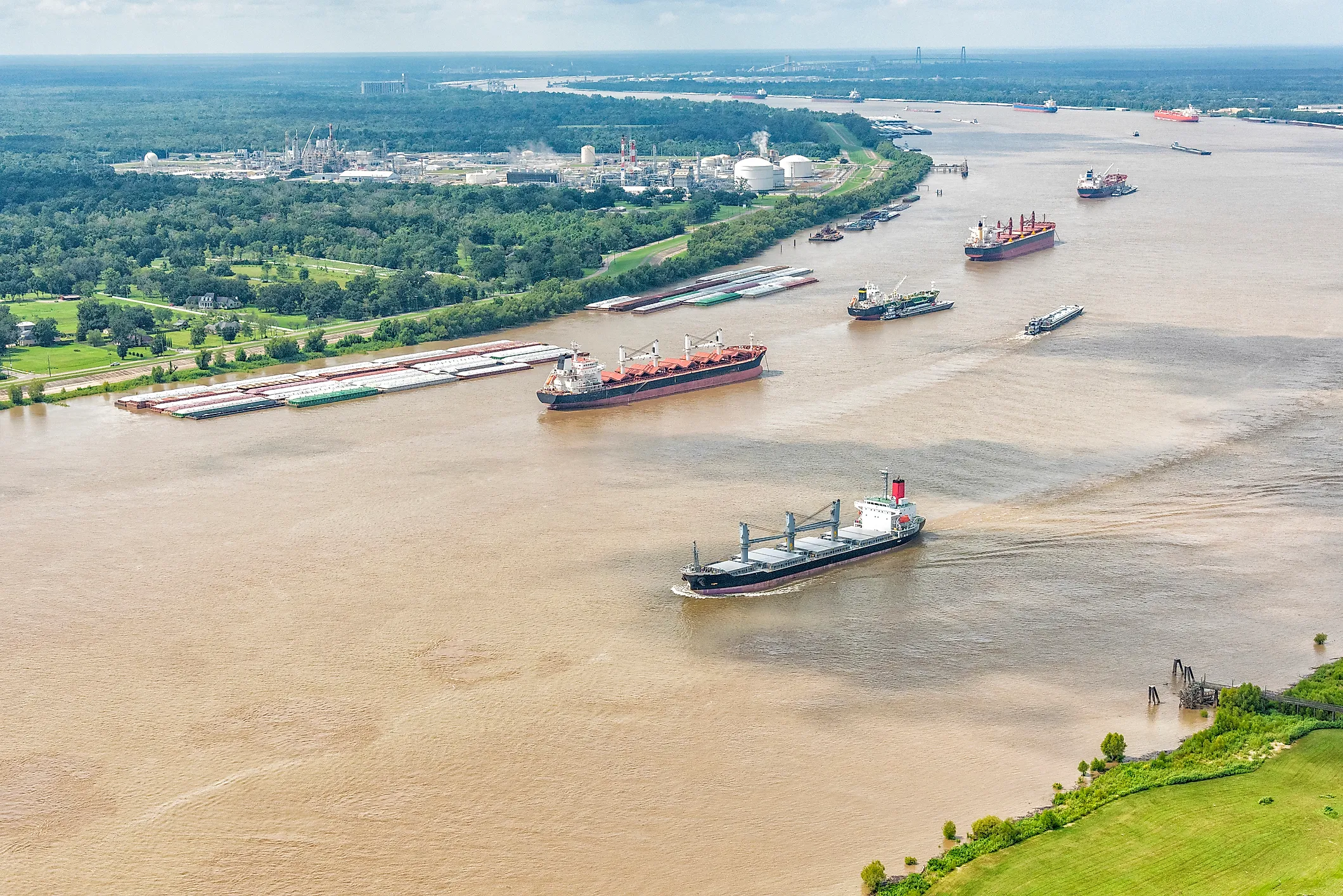
Although the Mississippi separates states on maps, it also links communities through transportation and commerce. Ports along its banks handle agricultural and industrial shipments, while barges move bulky goods that would otherwise travel by road or rail.
Locks and dams support navigation along parts of the Upper Mississippi by helping vessels travel through changes in water level. Farther south, the river serves as a major shipping corridor connecting inland communities with coastal markets. Its economic importance crosses state lines, just as its waters do.
The river also connects states through shared environmental concerns. Flooding, water quality, sediment, and habitat conditions can affect areas on both sides of a boundary. Decisions made upstream may influence conditions farther downstream, requiring coordination among local, state, and federal agencies.
These shared responsibilities underscore the difference between a political boundary and a natural system. State governments exercise authority within their jurisdictions, but the river continues flowing through the region regardless of those lines.
The Mississippi's Lasting Role in State Geography
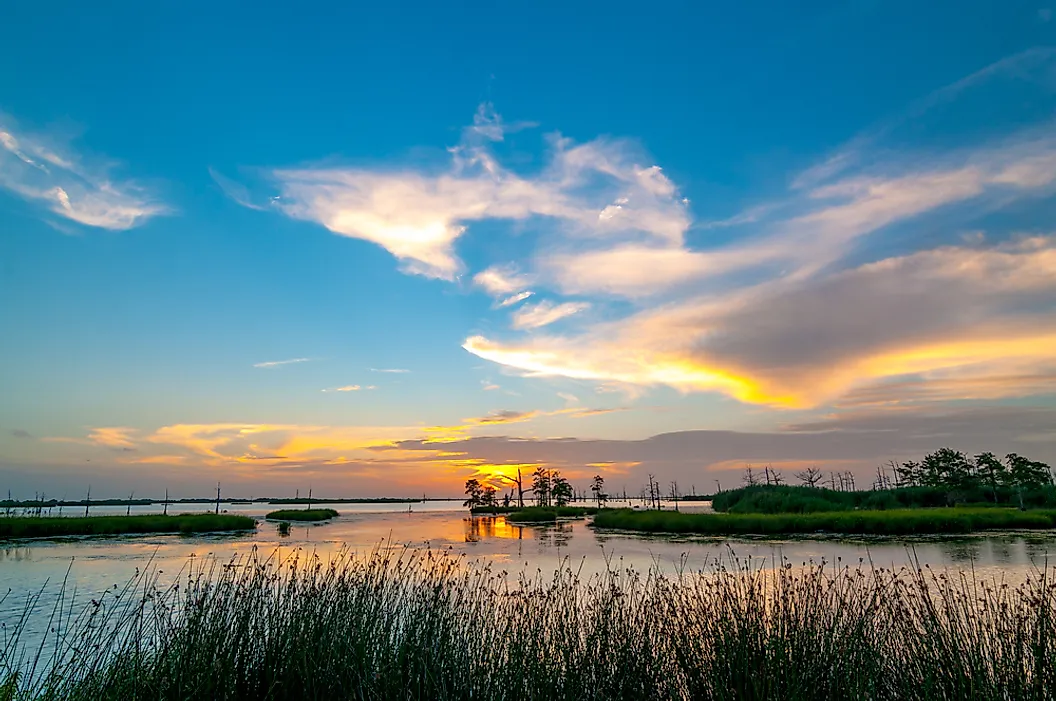
The Mississippi River remains one of the country's most significant natural boundaries, defining extensive stretches of state borders, including approximately 581 miles (935 km) along Illinois's western side. Its course has shaped the geography and legal boundaries of the central US, even as shifting channels have complicated questions of ownership and jurisdiction.
The river's influence extends beyond lines on a map. It separates states, connects communities through commerce, and reminds neighboring states that they share responsibility for the waterways flowing between them.