Wabash River
The Wabash River is an 810km long river streaming southwest from northwest Ohio and flowing across northern Indiana until southern Illinois. The river forms the Illinois-Indiana boundary and then drains into the Ohio River - which is its largest northern tributary. Wabash River is considered to be Indiana's most famous river, streaming across the entire state and providing drinking water to more than 70% of Indiana's counties.
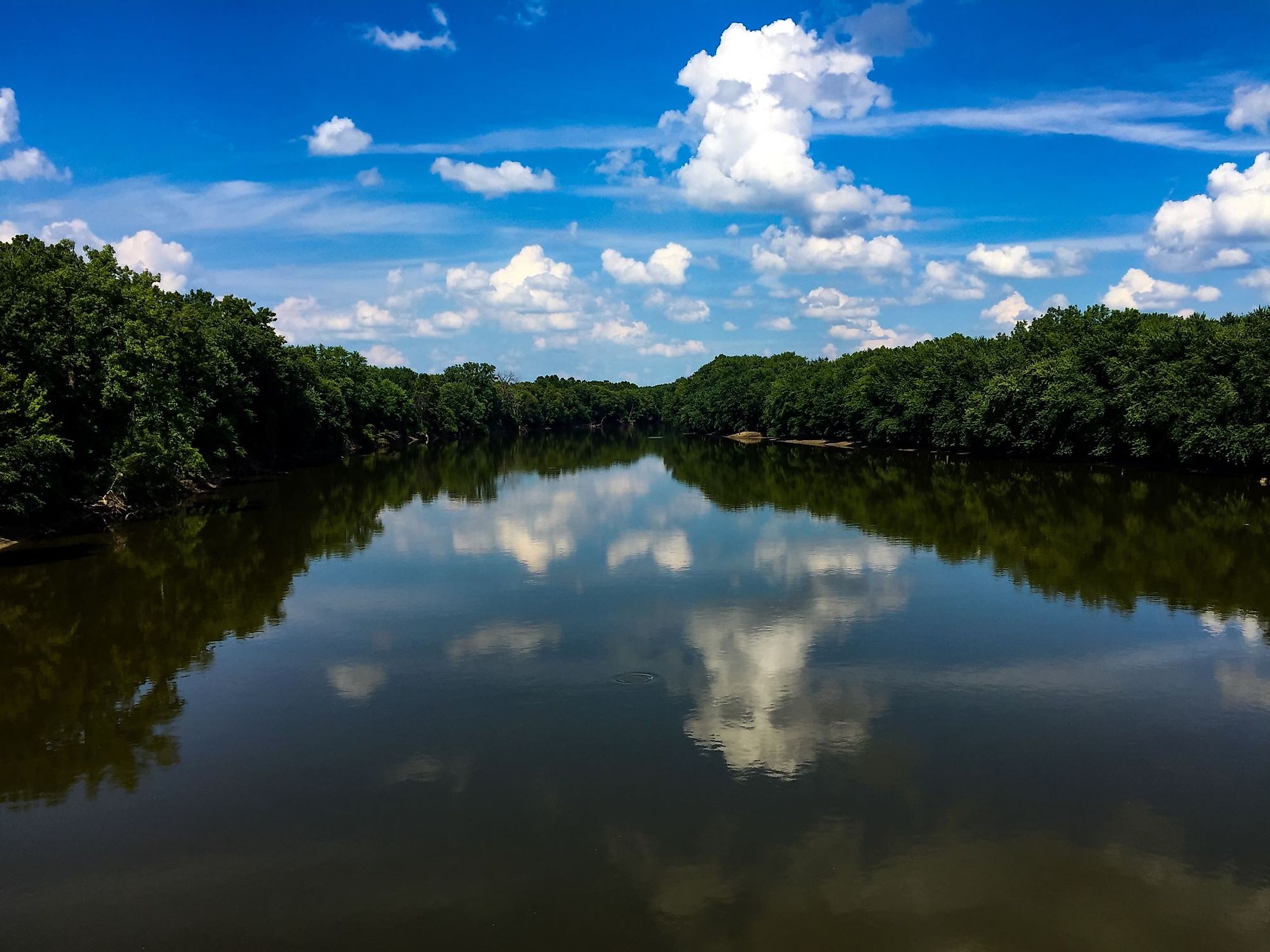
Course Of The Wabash River

Wabash River is the longest river, situated east of the Mississippi River, and ranks as the 49th among the 135 US rivers that are more than 100 miles long. The river widens from 200 ft at Huntington to 400 ft at Covington. The Wabash River is 1,200 ft wide at its mouth, dividing the state from the northeast to the southwest and drawing 200 miles of Indiana’s border with Illinois before entering Ohio after a total course of 810km. The river’s depth is about 30 feet in the lower 50 miles, with a 5 ft depth above Huntington. The Wabash River drains an area estimated as 86,000 sq. km, which covers approximately two-thirds of the 92 counties, as it flows more than 766.05 km westward across Indiana past the cities of Huntington, Wabash, Logansport, and Lafayette, then southward to Terre Haut. Moreover, the river is joined by several streams, which are topped mainly by the White and Tippecanoe rivers, as well as Little Wabash, Embarrass, and Vermilion. The Wabash River finally drains into the Ohio River close to the Hovey Lake Fish and Wildlife Area.
Ecology Of The Wabash River
The climate where Wabash River streams along is classified as humid continental, with a lush environment, making the river home to about 120 endangered or unique plants and animals, from many native species, like osprey, bald eagles, the Indiana bat, as well as river otters, and bobcats. These animals inhabit the Wabash river, in addition to 150 species of fish, like largemouth bass, smallmouth bass, sauger, catfish, and paddlefish. On the other hand, unique wildlife experiences and incomparable views are found along the Wabash River, which hosts a variety of rare and frequent native plants, including Young Blue Flag Iris, Black-Eyed Susan, Cardinal Flower, Young Purple Coneflower, and many more.
History Of Wabash River

The area was initially inhabited by the indigenous people who filled the surrounding of the Wabash, establishing many villages along its length. French explorers were the first colonists to arrive in the area through their missionaries and fur traders, and the Wabash was used as a significant trade route linking the lower Great Lakes and the Mississippi River. Later on, the colonies from France and England tried taking over the Wabash, which eventually ended up with the scene of George Rogers Clark's defeating the British, and eliminating them from the Northwest Territory. Then in 1811, Governor William Henry Harrison and his army conquered Tecumseh native Indians at the Battle of Tippecanoe near Lafayette. Moreover, the Wabash's contributed to the growth of Indiana, serving as an essential transportation joint. Where the Wabash-Erie Canal - America's longest canal - was built along the river when it wasn't reliable enough to serve its purpose, in addition to its contribution in being the reason for the variety of ethnic groups who came to work on the canal and then stayed to live in the valley, where the canal towns started developing, along with production industries in parallel with the main transportation purpose.
Points Of Interest Along The Wabash River

Wabash Heritage Trail
The Wabash Heritage Trail is an 18-mile scenic trail along Burnett Creek and the Wabash River. The northern trail starts at Tippecanoe Battlefield and roams along Burnett Creek to the Wabash River. It passes through the cities of Lafayette and West Lafayette and ends at Fort Ouiatenon. No horses, bikes, or motorized vehicles are allowed on the path in the rural areas of the trail. However, bicycles are permitted on the paved trail, where visitors can bike for five and a half miles in Lafayette and West Lafayette, whereas camping is not allowed anywhere along the trail.
Fort Ouiatenon
Named after Wea tribes in the area, the French built the park in the 1700s as a fur trading post. At present, the park is used for recreation and includes picnic facilities besides hosting the annual Feast of the Hunters’ Moon festival each fall.
Moreover, the river features many water activities like swimming, rafting, and kayaking, as well as fishing activities due to its variety of fish inhabitants. Besides, the river runs between a list of other public parks, topped by Tapawingo public park, where public events and festivals are being hosted regularly by the Wabash River Enhancement Corporation, which brings together residents, experts, and governments to improve water quality and expand public access, and make use of the Wabash River‘s ability to provides a huge opportunity for active recreation, appealing beauty, and sustainable economic development.


