The Steepest River In The United States
One of steepest rivers in the US is a short stream that flows out of a national park with the largest trees on Earth: the Kaweah River in California. Through its flow from 13,000 feet above sea level, it drops off more than two miles to close to sea level in the San Joaquin Valley. At only 33.6 miles in total for the main branch, it's a very short river, but it does stretch only slightly longer through its lower branches to close to nearly 100 miles.
It has such a dramatic drop-off that it is often classified as a top-notch whitewater rafting destination, and the whitewater raftors barely get time to admire the sequioas overhead before being whisked into ominously named rapids, like Suicide Falls.
The river's origin and name

Kaweah River has its headwaters in Sequoia National Park, managed alongside Kings Canyon National Park. These national parks are the headwaters for several other rivers flowing into central California, including Kings and Kern Rivers.
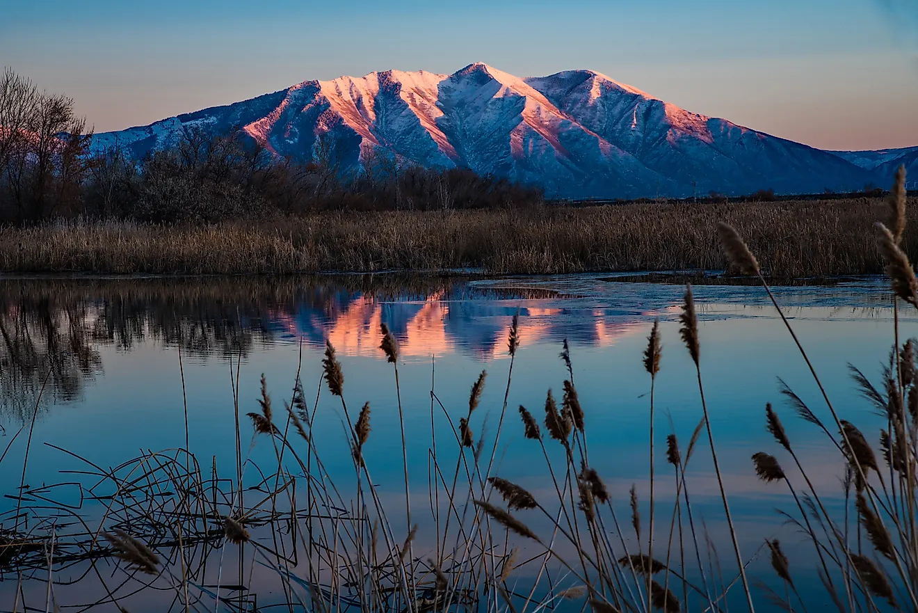
The region it is part of is the Great Western Divide, a vast subrange of the Sierra Nevada Mountains, located entirely within Sequoia National Park. One of its peaks is called Mount Kaweah, which stands at 13,802 feet above sea level.
The name Kaweah itself comes from Native Americans, but its actual meaning and origin are debated, with some arguing it means crow cry or happy land, or simply as the name for the Kaweah subgroup of the larger Yokuts Native American tribe.
However, the river went by several other different names depending on who was exploring it. Spanish explorers first called it Rio San Francisco and later Rio San Gabriel, while Americans tended to call it River Francis or the lower delta region the Four Creeks.
The river's course
The water for the river comes from melting snow at the high elevation of 13,000 feet, and it averages a drop of 70 feet per mile, with some steeper drops in places.
Along this route, there are three main forks, known as North, Middle, and South. The town of Three Rivers, just outside of Sequoia National Park, takes its name from these forks. The North Fork was once the home of a utopian community in the late 19th century, although it had to disband in 1891 due to the creation of Sequoia National Park, which cut off its supply of timber.
Overall, the Kaweah River drops down 10,000 feet in elevation until it meets the Terminus Dam. This dam was constructed in 1962 by the US Army Corps of Engineers at 250 feet high and 2,375 feet long. Unlike other dams, it is primarily used for flood control, as a flood in 1955 caused over $20 million in flood damage. The dam cost close to $24 million and enables runoff water to flow into Lake Kaweah.
This lake is typically kept at a shallow level, filling up between May and June. During the winter, water is released to make room for additional water. However, even with the dam, there were still flooding events across a 40-year period. To deal with this, the Terminus Dam Spillway was constructed, which raised the lake's level by 21 feet and increased its storage capacity by a third to its current total of 185,600 acre-feet. This was completed in 2004 at the cost of $56 million.
After passing through the lake, the Kaweah River continues to flow down through the town of Lemon Cove and enters the San Joaquin Valley. At McKay Point, the river splits into Lower Kaweah and St. Johns. These two river streams further split off into smaller creeks, forming the Kaweah Delta, a fertile alluvial fan. The last remnants of the river flow into Tulare Lake.
At McKay Point, there are several weirs that were built to divert the water equally from the Kaweah River into Lower Kaweah and St. Johns. These weirs were later replaced with other water control structures just downstream to ensure equal distribution of water and flood control. This delta water is utilized for irrigation for agriculture, although the Kaweah Delta Water Conservation District also uses groundwater, as the rate of flow from the Kaweah River can vary.
Whitewater rafting
As one of the steepest rivers in the US, it is only natural that this river provides a grand whitewater rafting experience for those with enough experience to handle the rapid drops and speed of the water.
The Kaweah River classified as a Class IV+ rafting experience, meaning it is mostly Class IV but in certain sections crosses over into Class V. Whitewater rafting ranges from I to V, with IV requiring more skills to navigate narrow pathways and overcome obstacles. Several rivers in the West have this classification, such as the Colorado River in the Grand Canyon and Gauley River in West Virginia. The only ones more difficult are Class V rapids, such as several points in the Grand Canyon on the Colorado River. Class VI is considered extremely dangerous and rarely run.
For a Class IV rapid, River Runners USA notes that Class IV rapids have large gradients, big rocks, and "constriction in the river." However, in the case of the Kaweah River, at times the upper portion can produce rapids that go beyond Class IV to Class V due to the steep drop-offs and large rock obstacles with ominous names such as Suicide Falls or Lower Slicky. During the spring, water flow can reach more than 2,500 cubic feet per second.
The forks of the Kaweah River are also navigable, with the East Fork being the easiest for all rafters, and the North Fork the most difficult, with rapids at Class V or more.
In addition, from the river's entry point in the Sequoia National Park, most of the land around it is privately owned, meaning it can be difficult to find pull-offs. As a result, most white water rafting associations recommend that only experienced rafters take on this river.
Steep Learning Curve
Handling these waters requires experts of all kinds. There were the Army engineers who constructed a dam to handle vast flooding as the steep river falls down from the mountains, and of course there are modern-day whitewater rafters who will have no time to see the sequoias as they struggle to stay afloat amid the rocks and drops of Kaweah River. And of course farmers rely on the river for their crops in Central California. What the river lacks in length, it more than makes up for in elevation drop-offs and fertile alluvial fans that form a crucial supply of water for Central California.