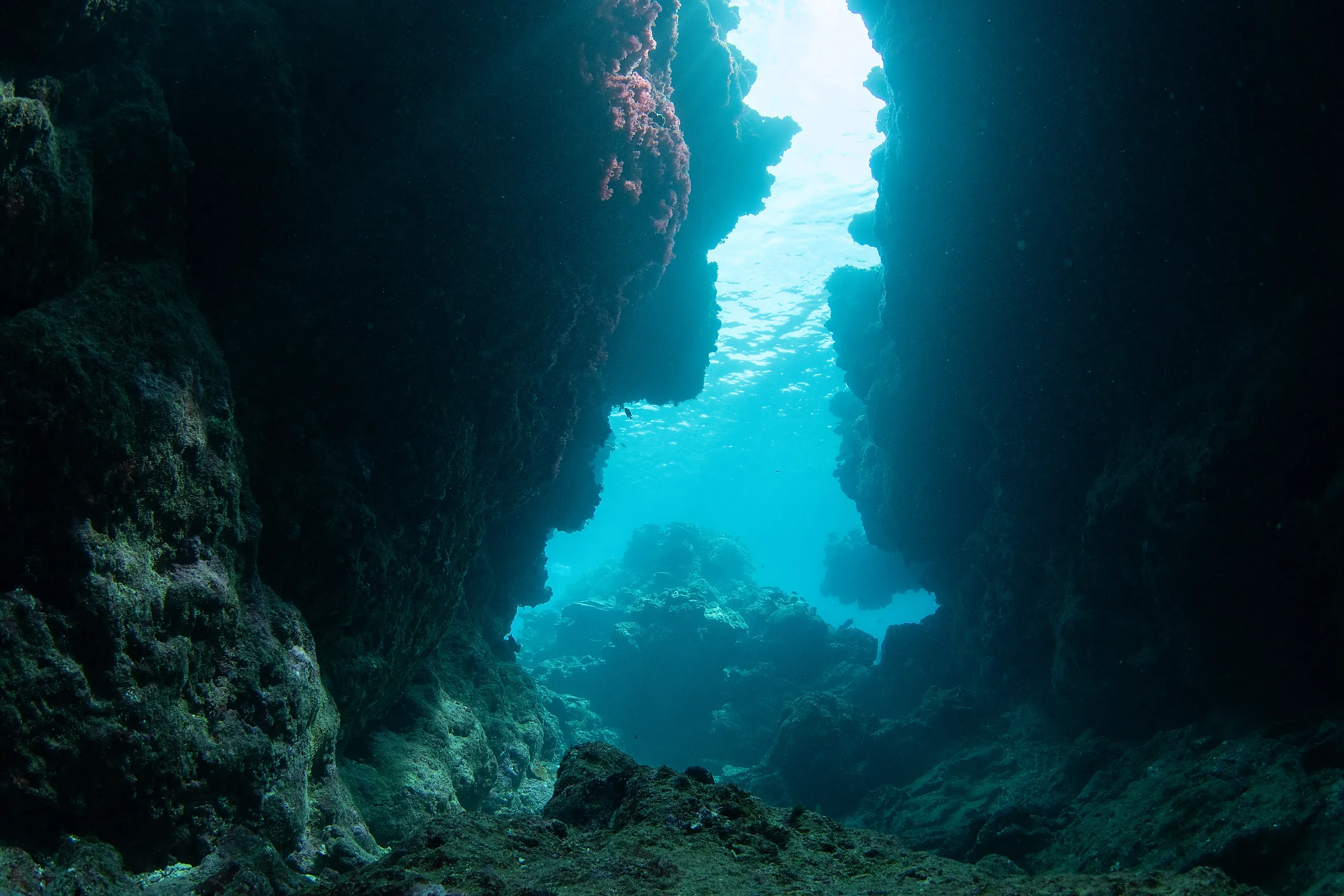
The Highest Underwater Mountain In American Waters
Southeast Hancock Seamount rises about 16,400 feet off the floor of the North Pacific, enough to top Mount Whitney by close to 2,000 feet, and its summit still sits about 870 feet underwater. That height makes it the tallest underwater mountain in American waters, a flat-topped volcano roughly 186 miles northwest of Kure Atoll at the far end of the Hawaiian chain.
Its best-known fully submerged rivals are shorter, with Vailuluʻu, the active undersea volcano off American Samoa, rising about 13,800 feet and Kamaʻehuakanaloa, the young volcano off the southeast coast of Hawaiʻi Island, rising a little over 10,000 feet. Mauna Kea is taller between base and peak, though its summit is dry land, and the summit of Southeast Hancock's near twin, Northwest Hancock, is split by the outer boundary of US waters.
Southeast Hancock is the tallest peak that stays fully submerged and lies entirely inside American jurisdiction, and at that height its flat top sits close enough to the surface for trawl nets to reach, which is how a mountain that never breaks the surface ended up under a fishing ban that has held since 1986.
How A Summit 870 Feet Underwater Stands Three Miles Tall

A seamount's height is measured off the seafloor around its base. Near Southeast Hancock that floor lies roughly 17,250 feet down, so a summit sitting that close to the surface still stands more than three miles above its own base, topped by a flat platform about a mile and a quarter across.
Vailuluʻu, the active undersea volcano off American Samoa, rises about 13,800 feet, and Davidson Seamount off central California rises 7,480 feet. Mauna Kea measures more than Southeast Hancock, at roughly 33,500 feet between its base and its peak, though its summit is dry land on Hawaiʻi Island.
Northwest Hancock, a near twin with a summit around 860 feet down, stands 34 nautical miles, or 39 miles, to the northwest. The two mountains share a base, with the saddle between them only about 2,100 feet above the abyssal floor. The outer boundary of US waters cuts across Northwest Hancock's summit, so Southeast Hancock is the one whose entire peak lies inside American jurisdiction.
A Hawaiian Volcano That Sank Past The Reach Of Coral

Southeast Hancock formed over the Hawaiian hotspot, the same magma source beneath Kīlauea today. Movement of the Pacific Plate carried each volcano northwest and away from that supply, so the islands and seamounts grow older with distance from the Big Island. Kure Atoll, the last speck of land in the chain, is roughly 28 to 30 million years old, and Colahan Seamount farther northwest is nearly 39 million years old. Southeast Hancock lies between the two along the chain, which puts its age somewhere in that span.
A flat summit marks it as a guyot, a volcano whose top was planed off by waves at sea level before the cooling crust beneath it subsided. Kure sits at what geologists call the Darwin Point, where coral growth still barely outpaces the sinking and holds the atoll at the surface. Farther north, cooler water slows coral growth below the rate of sinking, so Southeast Hancock's worn-down top sank to its present depth.
Armorhead Spend Their Youth In The Open Pacific
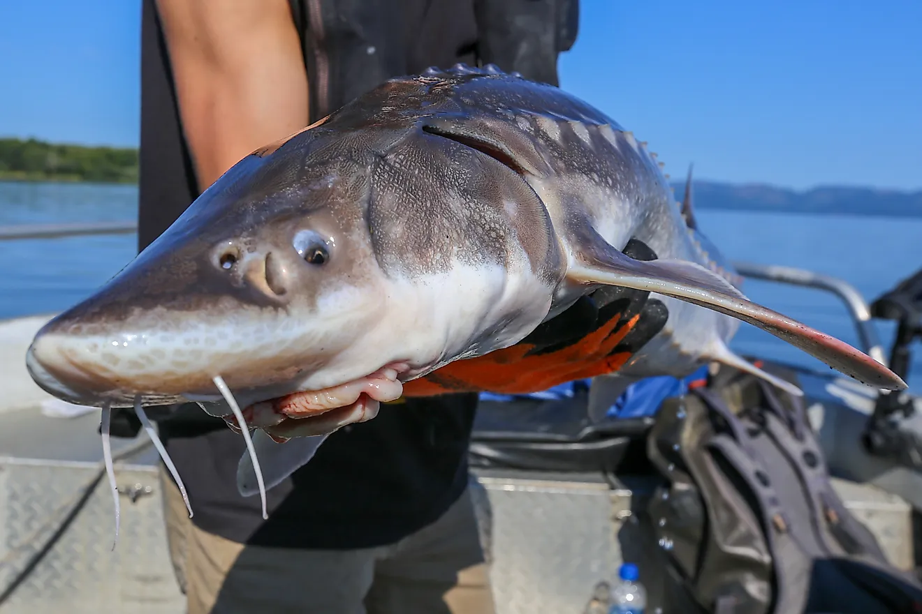
That drowned platform is where the pelagic armorhead ends its travels. Young armorhead spend roughly 1.5 to 2.5 years in the open central and eastern North Pacific, in waters reaching as far north as the latitude of Vancouver Island, before settling onto a seamount summit, where they grow no larger. Adults spawn in winter and can live up to four or five years on the seamount, slowly becoming emaciated.
Because settled adults never grow, a depleted summit rebuilds only as fast as new waves of young fish arrive from the open ocean. Between 1978 and 1990, those arrivals on Southeast Hancock were highly irregular, with the notable pulses coming in 1980 and 1986.
The Armorhead Stock Fell By More Than 99 Percent

Soviet fishermen first found dense armorhead schools on the Emperor Seamounts, farther northwest, in November 1967, and Soviet research cruises surveyed the Hancock seamounts in 1968 and 1969. Japanese trawlers joined the fishery in August 1969 and were working the Hancock summits by the early 1970s. At the fishery's peak in 1972, trawlers there were pulling armorhead off the summits at rates near 80 metric tons, about 180,000 pounds, for every hour of trawling.
In 1977, US fishery jurisdiction was extended to 200 miles, placing the Hancock seamounts in American waters. Japanese vessels kept fishing there under US permits with American observers aboard until the permit program ended in 1984, and American researchers trawling the seamounts in the late 1970s found night far more productive, averaging about 1,150 pounds of armorhead per hour after dark and roughly 84 pounds in daylight. Scientists estimated the Southeast Hancock stock at about 5,500 metric tons in 1972 and just 25 tons in 1989, a decline of more than 99 percent driven by heavy fishing and by the sporadic arrival of young fish.
Why The Hancock Closure Has No End Date

The first six-year moratorium on armorhead and bottom fishing at the Hancock seamounts took effect in 1986, and three more followed it. In 1993, the spawning potential of the Southeast Hancock stock stood at about 2.5 percent of an unfished population, far below the 20 percent threshold managers used to define overfishing, and the armorhead was formally listed as overfished in 1997.
Federal managers set a minimum rebuilding time of 35 years for the US portion of the stock, and they cited continued fishing on the same stock outside US waters as one reason it stayed overfished. Since December 2010, an indefinite closure on bottomfish and seamount groundfish has replaced the rolling moratoria, and it holds until the armorhead is judged rebuilt. The Hancock seamounts are the only known armorhead habitat in US waters, and the United States has never had an armorhead fishery of its own.
Coral Is Growing Back From Pieces Caught In Lost Nets
Precious corals grow on Southeast Hancock's slopes as well, and the bottom trawling for armorhead damaged them until foreign vessels were barred from the Hancock seamounts in 1986. Researchers surveyed these seamounts between 2014 and 2017 with crewed submersibles and a robotic vehicle at depths between about 650 and 2,300 feet. Of the formerly trawled seamounts now under protection, Southeast Hancock held the largest population of the precious coral Hemicorallium laauense, and along a single survey line about a third of a mile long, at roughly 2,000 feet, the team counted 155 precious coral colonies.
At that depth on Southeast Hancock, Hemicorallium laauense and a stony coral were regrowing from fragments caught in lost fishing nets. Across more than 536,000 images from seven seamounts along the Hawaiian and Emperor chains, both Hancocks among them, the research team found early signs of coral recovery after 30 to 40 years without trawling.
Hancock Stays Closed Under The 2026 Fishing Proclamation

Southeast Hancock became part of Papahānaumokuākea Marine National Monument in August 2016, when the monument was expanded to the edge of US waters west of 163° West longitude. In January 2025, the same waters were designated Papahānaumokuākea National Marine Sanctuary, covering 582,570 square miles, more than the entire land area of Alaska.
On June 11, 2026, the president signed a proclamation lifting the monument's own commercial fishing bans in waters more than 50 nautical miles from the islands, a zone that includes Southeast Hancock. Commercial boats gained no immediate access, because the Commerce Department was directed to rewrite the regulations covering those waters, including the sanctuary rules. The Hancock closure on armorhead, bottomfish and seamount groundfish, along with the regional ban on bottom trawling for those fish, is a separate fishery rule and remains in force.
What A Three-Mile Summit Set In Motion
Southeast Hancock's record height is what put its fish within reach. A volcano rising some 16,400 feet off the abyssal floor lifts its flat summit close enough to the surface for armorhead to school there by the thousands of tons and for trawl nets to follow them down. Since the trawling stopped, the fish and the corals have recovered at very different speeds. Armorhead that stop growing after they settle can only be replaced by young fish drifting in from the open Pacific, and those arrivals have been irregular while the same stock is still fished outside US waters. Corals regrow in place, and on Southeast Hancock some are rebuilding from fragments caught in nets lost on its slopes. Under the separate Hancock closure, armorhead and other bottomfish on this summit stay off limits until federal managers declare the stock rebuilt, regardless of what changes in the rest of the monument.