The Most Treacherous Passages For Ships On The Great Lakes
The scariest stretch of a Great Lakes voyage is often a ditch. A loaded freighter slides into a dredged channel with a few feet of water under the keel, rock on both sides, and a current shoving it sideways. One of these channels is literally named Death's Door. Another runs beside a reef that sits awash right next to the shipping lane. A third moves faster than most people walk. Three schooners once wrecked on the same rock, one on top of the other. On the Great Lakes, the trouble starts where the water gets narrow.
St. Marys River Neebish Channels and Little Rapids Cut

The St. Marys River carries water from Lake Superior toward Lake Huron through a chain of channels, islands, locks, and rapids. The U.S. Coast Guard singles out West Neebish Channel, Middle Neebish Channel, and Little Rapids Cut as extremely hazardous in poor visibility. Traffic is separated through much of the area. West Neebish is normally used by downbound vessels, Middle Neebish by upbound traffic, while Little Rapids Cut carries ships in both directions.
The current adds another constraint. NOAA's 2026 Coast Pilot gives Little Rapids Cut currents of up to about 2.2 mph under high-flow conditions. Water levels can also change quickly when winds shift across Lake Superior. Coast Guard navigation material notes short-term fluctuations large enough to affect under-keel clearance for commercial ships already working with only a few feet between their hull and the maintained channel bottom.
Manitou Passage, Lake Michigan

Hundreds of vessels used Manitou Passage because the shortcut around the Manitou Islands could save roughly 60 to 70 miles. The same route put them beside shallow shoals, strong currents, fog, and sandbars capable of shifting position. National Park Service records describe hundreds of maritime casualties in the passage during the busiest decades of Great Lakes shipping. At least 16 wrecks are known in and around the passage and Manitou Islands, with others likely still undiscovered.
The Walter L. Frost struck near South Manitou Island in thick fog in 1903. More than half a century later, the Francisco Morazan grounded there during a snowstorm in 1960. Both wrecks remain part of the underwater and shoreline history around Sleeping Bear Dunes National Lakeshore.
Death's Door Passage, Wisconsin

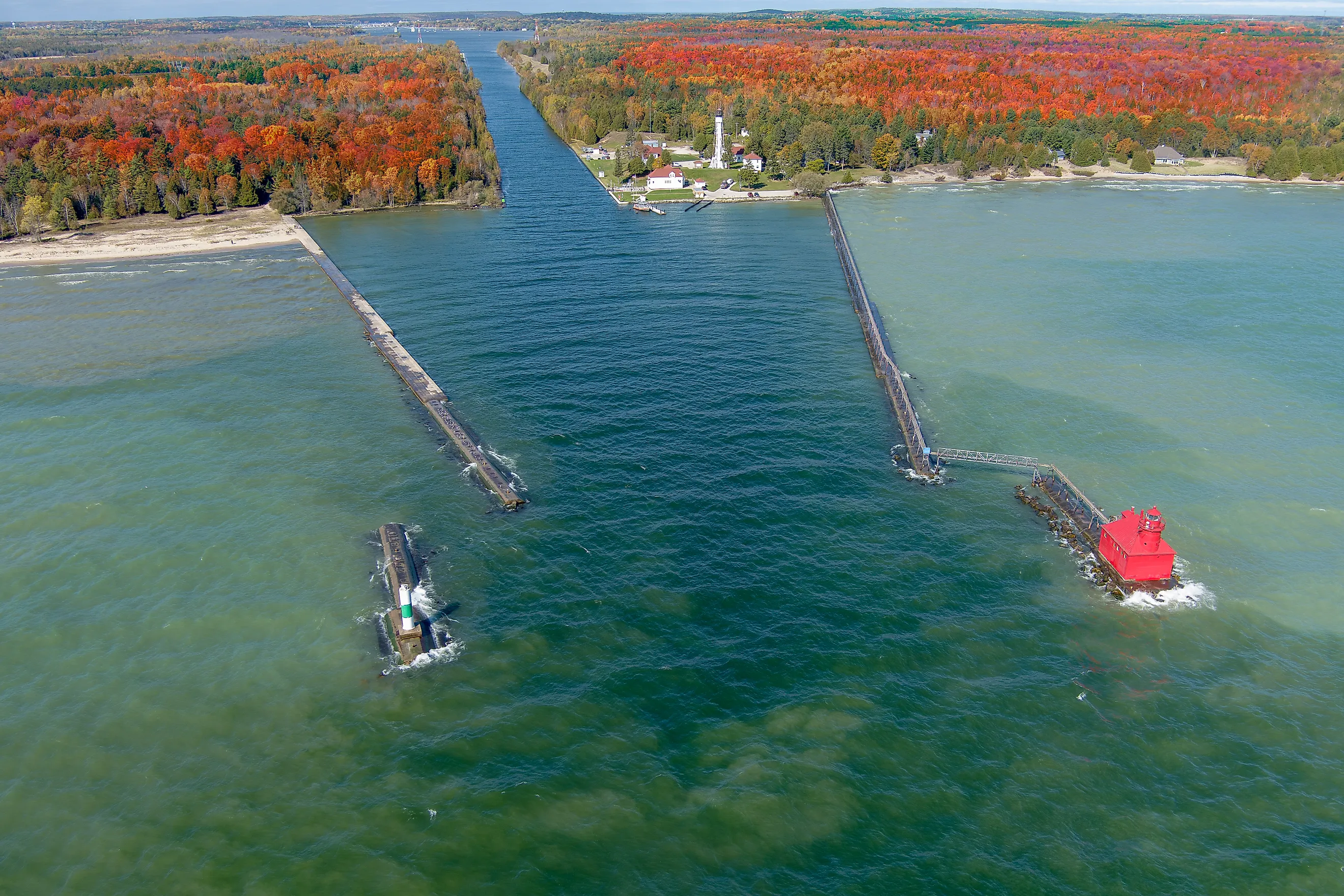
The water between Wisconsin's Door Peninsula and Washington Island has earned its reputation the hard way. The Wisconsin Historical Society describes Death's Door as one of the most treacherous areas on the Great Lakes and records hundreds of vessels lost or damaged in the surrounding waters. Rocky reefs sit close to the shipping route, while strong currents and sudden gales have repeatedly pushed sailing vessels out of position.
The wrecks around Pilot Island are especially concentrated. The schooner Forest went onto the reef in 1891. The J.E. Gilmore struck there in 1892, followed by the A.P. Nichols in a snowstorm in 1893. The Jennibel capsized while passing through Death's Door during a gale in 1881. Lighthouses on Pilot Island and Plum Island reduced some of the uncertainty, but they could not remove the reefs or the weather.
Grays Reef Passage, Lake Michigan

NOAA's 2026 Coast Pilot describes Grays Reef as an 8.5-mile stretch of rocky shallow water west of the Straits of Mackinac. Parts of the reef are exposed or nearly awash, while other sections carry only about 18 feet of water. Vienna Shoal, across the usable route, has a least charted depth of roughly 12 feet. Middle Shoal rises to about 17 feet.
Commercial vessels use a dredged passage between these obstacles. NOAA identifies it as a major route for ships drawing less than 25 feet between the Straits and southern Lake Michigan ports. The surrounding rock is much shallower than the working depth needed by a loaded freighter, which is why Grays Reef Light and federal navigation rules remain important here.
Pelee Passage and Southeast Shoal, Lake Erie

About a dozen recommended shipping courses converge around Pelee Passage and Southeast Shoal, according to NOAA. That makes this one of the busiest navigational junctions in western Lake Erie. Canadian pilotage records describe an 8.5-mile passage that narrows at one point into two roughly 1,000-foot one-way channels separated by shoal water.
Southeast Shoal has a long history of trouble because large vessels approach shallow sandbars with little room to recover in bad weather. The National Museum of the Great Lakes records repeated strandings and wrecks around the shoal, and a lightship was once stationed there to warn approaching traffic.
Modern charts still devote unusual attention to the area. NOAA and Canadian authorities have revised recommended routes here for electronic navigation because so many commercial tracks intersect around the same shallow water.
Livingstone Channel, Detroit River

Livingstone Channel was cut through shallow rock in the lower Detroit River so deep-draft ships could move between Lake Erie and the upper lakes. Soon after it opened in 1912, federal engineers were already documenting trouble. One government review recorded 35 major accidents, including 12 serious enough to block the channel.
The problem was not simply depth. Federal reports described cross-currents pushing vessels toward the submerged sides of the excavation. A ship that moved laterally could leave the maintained water and strike the rock edge. Masters also complained about fog, limited width, and the difficulty of meeting other vessels inside the cut. Modern traffic rules still tightly control movement through Livingstone and the nearby lower Detroit River.
Upper St. Clair River and Lake Huron Cut

Lake Huron empties into the St. Clair River through a narrow outlet beside Port Huron, Michigan, and Sarnia, Ontario. NOAA warns that currents above the Blue Water Bridge can reach 5 mph or more. For roughly another mile downstream, they can remain above 4 mph. Upbound vessels also encounter a westward set near Lake Huron Cut.
Commercial traffic is restricted accordingly. U.S. navigation regulations designate the reach between Lake Huron Cut and Port Huron as an alternating one-way zone, so large vessels may not meet or overtake inside it. A freighter heading upstream is working directly against some of the fastest sustained current on the Great Lakes navigation system.
De Tour Passage, Lake Huron

De Tour Passage forms the southern entrance to the St. Marys River, funneling Lake Huron traffic toward the Soo Locks. NOAA gives the entrance more than 2,500 feet of deep water, but the surrounding hazards rise quickly. De Tour Reef comes to within about 12 feet of the surface, while Crab Island Shoal contains boulders just below the water.
Farther north, Frying Pan Shoal has only about 19 feet over parts of it. The channel near Crab Island has been dredged to around 30 feet, creating a large difference between the maintained route and the nearby bottom.
At the north end of the passage, upbound and downbound channels divide around the Pipe Island group before joining again farther upstream. NOAA lists working channel depths around 29 feet through this section, keeping deep-draft traffic inside a relatively precise corridor between islands, reefs, and shoals.