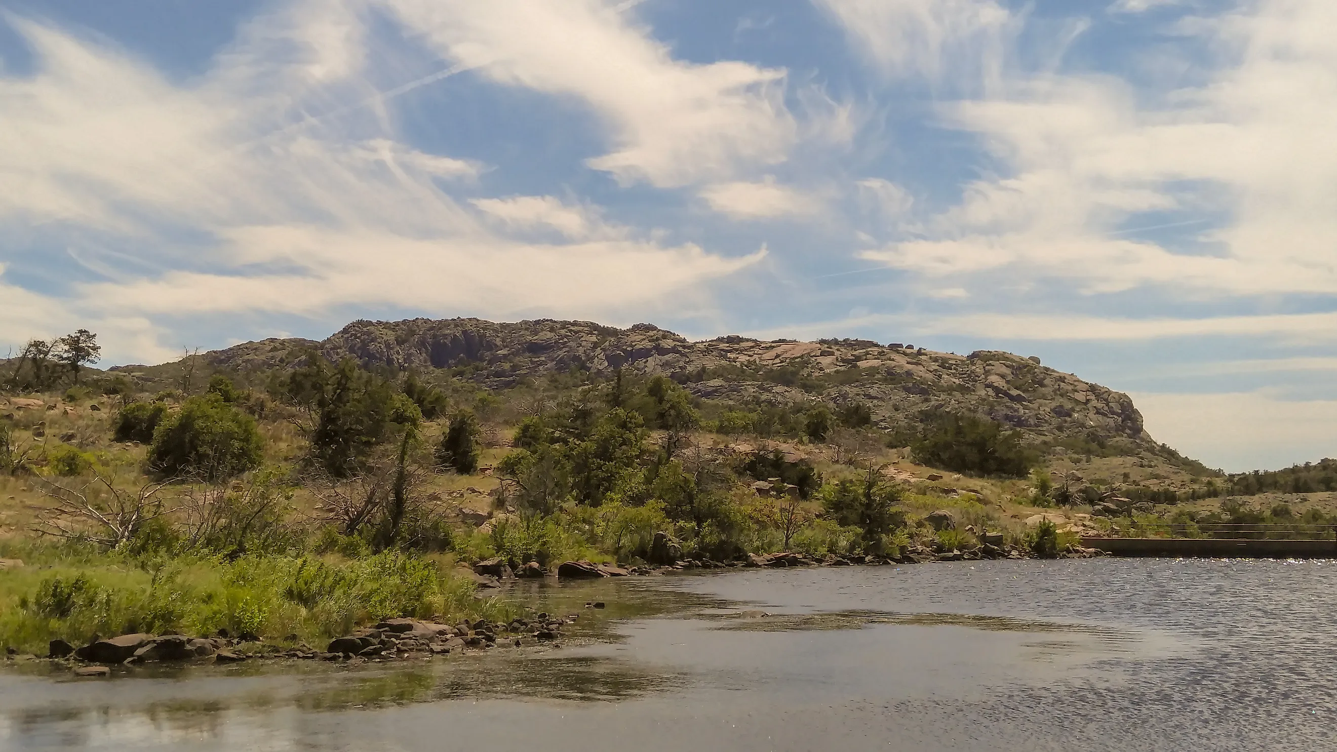
The Largest Lakes In The Great Plains
The Great Plains are not a naturally conducive environment for lakes, with their relatively flat features and semi-arid environment. That's why all of the largest lakes in this region were not made by nature but rather by human efforts.
From the 1930s to the 1960s, a series of massive flood control projects transformed the Great Plains states into a network of reservoirs, gaining their water from formerly wild rivers.
In the process, these lakes provided drinking water and power, but often displaced the Natives who already lived there.
Milford Lake
Milford Lake is Kansas's biggest lake, at 15,700 acres with 163 miles of shoreline. It is the first example of the aforementioned principle of the Great Plains states taking advantage of their rivers to form reservoirs for drinking water and recreation.
In the case of Milford Lake, the Army Corps of Engineers dammed the Republican River from 1962 to 1967. Today, the lake provides water for more than one-third of Kansas's entire population, with the Army Corps of Engineers still maintaining the reservoir and Milford Lake Dam.
Since its construction, it has paid for itself more than three times over, as it has prevented $165 million in flood damages across its almost 60 years of existence.
On its shoreline, there is the Milford State Park, a 1,084-acre facility on the southeastern end of the lake, featuring 12 miles of trails, a splash pad, and beachfront to catch bass, crappie, or to go for a swim.
Lake Texoma

Lake Texoma sits at the southernmost reaches of the Great Plains, at the border between Oklahoma and Texas. This 89,000-acre reservoir is different from others in how it draws its water.
Mainly, it receives its water from two rivers: the Red River and the Washita River, which converge right on the border between Texas and Oklahoma.
n addition, the Denison Dam that created this reservoir was constructed during World War II, using prisoners of war from Erwin Rommel's Afrika Korps, a German military group. The dam was finished in January 1944 at a total cost of $54 million.

Its initial purpose was flood control, due to a series of floods that struck the U.S. in 1937, but generators were added in September 1949. Lake Texoma State Park would be added a few years later, featuring a marina, overnight facilities, and striped bass fishing.
In fact, anglers come from all over the state and surrounding area just to catch the striped bass here. The lake draws in an estimated six million visitors annually.
Lake Francis Case

Lake Francis Case is the second-largest reservoir in South Dakota at 102,000 acres by surface area. Its name comes from South Dakota Senator Francis Higbee Case. It gets its water from the largest river that flows through Lake Francis Case: the Missouri River.
Much like Lake Texoma, its initial purpose was for flood control and later on hydroelectric power. The project would take ten years to complete, from 1946 to 1956, with the construction of Fort Randall Dam, an earthen dam, and the installation of power generators.
Today, Lake Francis Case features more than 540 miles of shoreline, with a maximum depth of 140 feet.
What makes this lake special is that it's one of the best places this far out west to go fishing for walleye, and it hosts a large number of America's national bird: the bald eagle from December through February. The shoreline itself is a mixture of prairies and farmland of the Great Plains alongside cliffs and canyons.
Lake Sakakawea

At 307,000 acres, Lake Sakakawea is the largest reservoir in North Dakota. If its name sounds somewhat familiar, that's because it comes from a common spelling of the name Sacagawea, a Lemhi Shoshone woman who helped lead the Lewis and Clark expedition on their vast journey out west.
The reservoir gets its water via the Garrison Dam, which redirects water from the Missouri River. It was built at the same time as Lake Francis Case, as they were both approved by the Flood Control Act of 1944, which was part of a series of New Deal programs to manage and prevent flooding.
The dam was completed in 1956, but it also flooded 152,350 acres of the Fort Berthold Indian Reservation, forcing three Native American groups to relocate.
The primary recreational area for the lake is the Lake Sakakawea State Park, with a swim beach and plenty of space on the water for sailboats. The park is connected to the 4,800-mile North Country National Scenic Trail, which also runs to the nearby Fort Ransom State Park.
Fort Peck Lake

Fort Peck Lake sits in the eastern section of Montana. This 245,000-acre reservoir is the earliest on this list, dating back to 1940 with the construction of the 3.8-mile Fort Peck Dam on the Missouri River.
This project began in 1933 as part of a New Deal program to revitalize the economy suffering from the downturn of the Great Depression. At its peak, the dam project hired 10,564 workers.
The project was slowed down due to an earth slide in 1938 that killed eight workers and required repairs to the dam. It was officially completed in 1940. Hydropower would be added later, with the first power house constructed in 1951 and the second in 1961.
Fort Peck Lake has more than 1,520 miles of shoreline, providing space for anglers to catch more than 50 varieties of fish, including walleye, chinook salmon, and paddlefish.
Lake Oahe
{"embedUrl":"https://www.instagram.com/p/CUiW1WDpNp9/embed/"}
Lake Oahe is the largest reservoir in the Great Plains, stretching from South Dakota to North Dakota for 230 miles and covering 370,000 acres. This reservoir was the result of the Flood Control Act of 1944, which authorized funding for many Missouri River dam projects.
The Oahe Dam itself took ten years to complete, from 1948 to 1958. Even with the dam's completion, it took four years for the lake to fill up with enough water to turn on power generators.
However, as is tragically the case for such large projects, people were already living here, including the Sioux and Cheyenne people. The lake flooded more than 460,000 acres of their reservations, forcing displacement of the groups to higher elevations. Some historians have noted that this project destroyed more Native land than any other.
Today, the lake attracts close to 1.5 million visitors a year, including at the Oahe Downstream Recreation Area.
The Ingenuity And Tragedy Of These Lakes
Unlike the natural lakes out east, these lakes were designed with a human purpose in mind, for drinking water, power, irrigation, and recreation. By taking advantage of the Missouri River, Red River, and Republican River, these Great Plains states are able to make life much more comfortable for residents.
But all that progress came with a cost. The first was the flooding of Native American reservations. Lake Oahe and Lake Sakakawea alone destroyed more than 610,000 acres of Native American reservations, a fact that the people who used to live there have not forgotten. The second was the damming of wild rivers themselves, taking away some of their meandering character.
Whether this cost was worth the price is one for everyone to consider as they visit these largest lakes in the Great Plains.