The Road That Circles All Five Great Lakes
There is a road trip hiding in plain sight on the map of North America, marked by modest green-and-white signs that most drivers blow past without a second look, and it happens to be the longest freshwater coastline drive on Earth. The Great Lakes Circle Tour is a designated route system that loops every one of the five lakes, more than 6,000 miles of connected highway threading two countries, eight states, and the province of Ontario, past the skyline of Chicago, over the Mackinac Bridge, around the wild top of Lake Superior, through Niagara Falls, and home again. Drive all of it and you will cross international borders repeatedly, pass dunes taller than skyscraper floors and a giant steel goose, and circle a fifth of the planet's fresh surface water using nothing but a car, a passport, and a frankly heroic appetite for pasties and butter tarts. Here is the road, lake by lake.
One Road System, Two Countries

The Circle Tour is not one highway but a brilliantly simple idea stitched onto existing ones. Established in 1988 through the Great Lakes Commission and the surrounding states and Ontario, the system designates a signed shoreline-hugging route around each individual lake, Superior, Michigan, Huron, Erie, and Ontario, plus connecting corridors, so that a driver can lap any one lake as a standalone vacation or chain all five into one continental epic. The green-and-white Circle Tour markers do the navigating; the lakes do the scenery; and the whole arrangement runs on the honor system, with no tolls for the route itself, no finish-line medal, and no rule against doing it in either direction.
The gateway drama comes free of charge. Because the route follows the water, it funnels over some of the continent's great crossings, none grander than the Mackinac Bridge, five miles of suspended steel across the straits where Lake Michigan and Lake Huron trade water, a bridge so central to the system that two different lake circles share it. Pick a direction at the toll booth and you have chosen which Great Lake to orbit next, which is the most consequential left-or-right decision in American road-tripping.
Lake Superior: The Big One

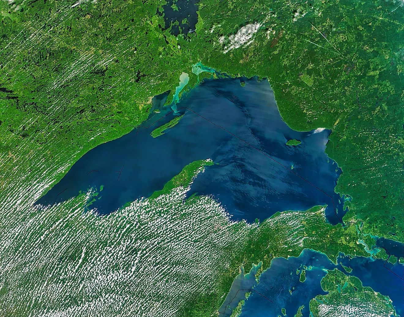
The Superior loop is the system's heavyweight: roughly 1,300 miles around the largest freshwater lake on Earth by surface area, and the wildest driving on the tour. From Duluth's harbor and Aerial Lift Bridge, Minnesota's Highway 61 runs up the North Shore past waterfalls, cliff-top lighthouses, and state parks strung like beads, into Ontario at Thunder Bay beneath the Sleeping Giant, then across the lake's astonishing roadless-feeling top, where the Trans-Canada swings through Lake Superior Provincial Park and moose outnumber billboards.

The north shore also supplies the tour's best mascot: Wawa, Ontario, announces itself with a giant steel Canada goose, nearly 30 feet of roadside bird erected to lure Trans-Canada traffic into town, and it has worked on every generation since 1960.

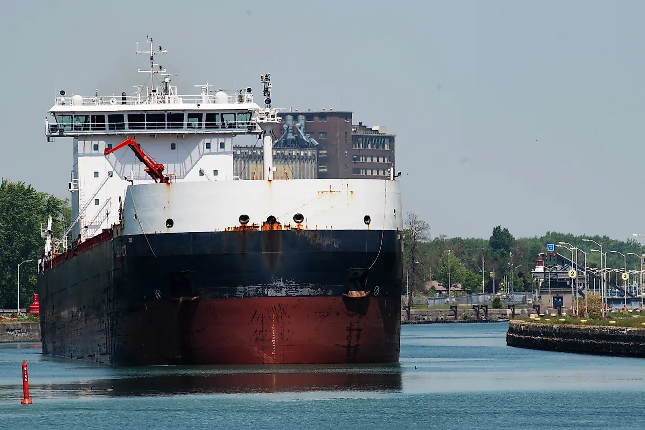
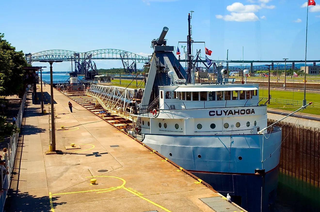
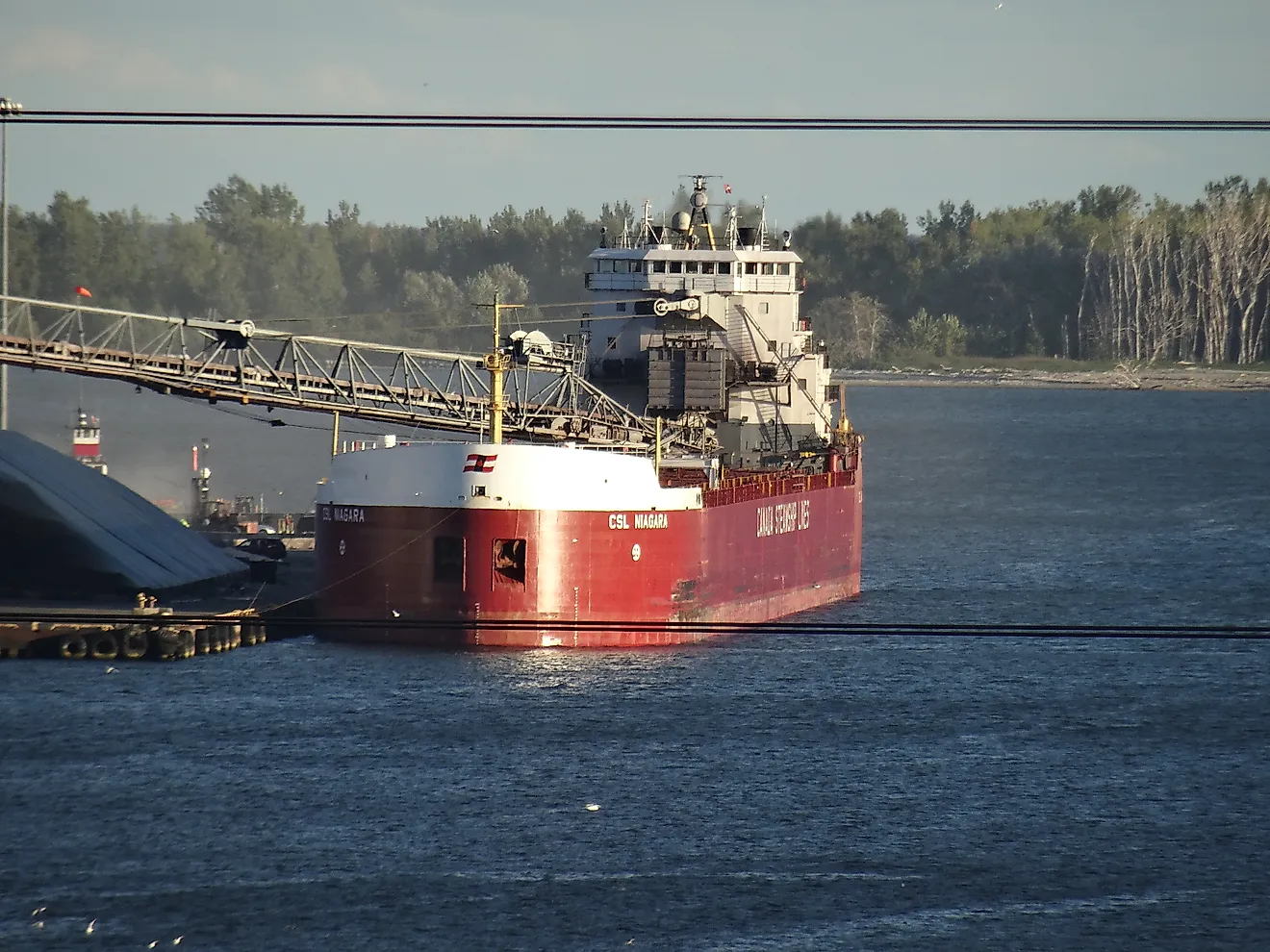
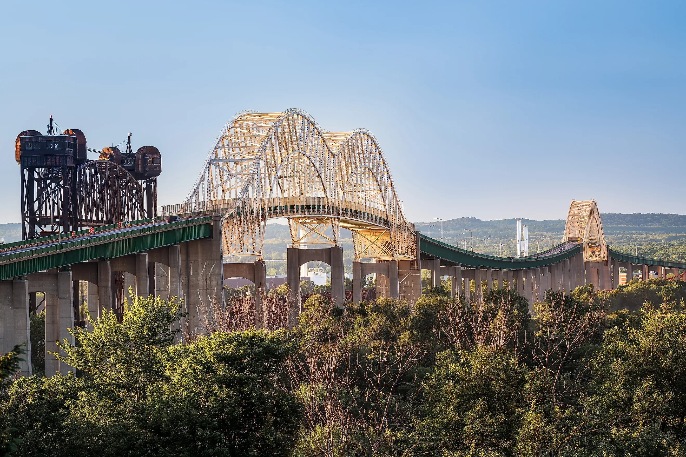
The loop closes through Michigan's Upper Peninsula, past Pictured Rocks' painted cliffs and Whitefish Point's shipwreck museum, to Sault Ste. Marie, where the route crosses the international bridge beside the Soo Locks and freighter-watching becomes a legitimate reason to miss your dinner reservation.
Lake Michigan: The All-American Lap

The Lake Michigan circle, about 1,100 miles, is the only lap that never leaves the United States, and it packs the tour's biggest mood swings. The southern arc is pure metropolis, Chicago's skyline rising straight out of the water, then Milwaukee's beer-and-brats lakefront, before Wisconsin mellows northward into Door County, the cherry-orchard-and-lighthouse peninsula where Cave Point's limestone ledges boom under the waves and every village seems contractually obligated to sell fudge.


Michigan's side answers with the tour's most famous climb: Sleeping Bear Dunes, where sand mountains rear hundreds of feet above the water and a parade of optimists charges down the bluff toward the beach, discovering in real time why the park posts rescue-cost warnings for the return trip. Add Traverse City's cherry country, a string of beach towns running south, and the Indiana Dunes closing the circle near Gary, and the Michigan lap works as the system's greatest-hits album.
Lake Huron: The Quiet Giant

Lake Huron is the lap connoisseurs brag about, the second-largest Great Lake with a fraction of Michigan's traffic. Michigan's "Sunrise Coast" up US-23 delivers lighthouses and small harbor towns with the sun coming up over the water, while Ontario's side saves the showstoppers: the Bruce Peninsula, where Tobermory's water runs Caribbean-clear over the bones of schooners, and Fathom Five National Marine Park lets paddlers float directly above the wreck of the Sweepstakes, a shipwreck you can visit in a kayak without getting your hair wet.

Huron also holds the route's best geographic flex: Manitoulin Island, the largest island in any lake on Earth, big enough to contain more than a hundred lakes of its own, some of which contain islands, a Russian nesting doll of geography. The circle crosses to it via the Chi-Cheemaun ferry from Tobermory, rolls through Anishinaabe communities and hay-sweet farmland, and rejoins the mainland over the swing bridge at Little Current, having briefly made your road trip amphibious.
Lake Erie: The Short, Fast Lap

Erie's circle is the sprint, roughly 700 miles around the shallowest and warmest Great Lake, and it compensates with density. The Ohio shore alone offers Cedar Point, the roller-coaster capital that coaster nerds cross oceans for, the ferry-hop party-and-history islands around Put-in-Bay, where Perry's 352-foot victory column commemorates the War of 1812 above a town that mostly commemorates happy hour, and Cleveland's Rock and Roll Hall of Fame glittering on the waterfront.
The Canadian side counters with Point Pelee, the southernmost tip of the Canadian mainland, a sand spear stabbing so far down into the lake that it sits at the latitude of northern California, where autumn monarch butterflies stack up by the thousands waiting for the wind that will carry them across. Erie is the lap for drivers who like their scenery punctuated, with something every half hour and a beach whenever the mood lands.
Lake Ontario: Falls At The Finish

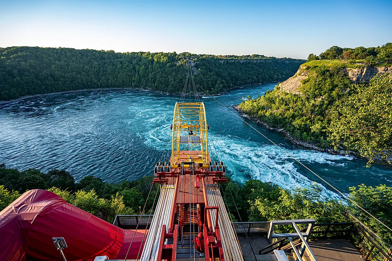
Between Erie and Ontario, the route detours past the plumbing connection between the two, which happens to be Niagara Falls, where the entire outflow of four Great Lakes thunders 170-plus feet on its way to the fifth. No other road trip on the continent includes a waterfall moving that share of a continent's fresh water as, essentially, an interchange. The Ontario lap then runs the wine country of Niagara-on-the-Lake, Toronto's skyline, and the old limestone streets of Kingston on the Canadian side, with Rochester, Oswego, and a parade of drumlin-country harbor towns holding down New York's shore.

The system saves a poetic exit for its eastern end. Where Lake Ontario narrows into the St. Lawrence River, the Thousand Islands scatter across the outflow, castle-topped, cottage-crowned, and technically numbering over 1,800, marking the spot where Great Lakes water finally leaves for the Atlantic. Standing on the Thousand Islands Bridge, a driver who has run the whole system can watch the water they have been circling for weeks start its one-way trip to the sea, which is as close to a finish line as the Circle Tour offers.
The Practical Bits
The honest logistics: lapping a single lake makes a superb one-to-two-week vacation, with Erie doable in a long weekend and Superior deserving ten days by itself, while the full five-lake system is a three-to-six-week undertaking that odometers remember forever. A passport or enhanced license is required equipment, since the full route crosses the border repeatedly and skipping Ontario means skipping some of the best shoreline on the continent. Summer and early fall are the sane seasons; the committed drive shoulder months for empty roads and storm-watching, and nobody circles Superior in February twice.
The deeper appeal is what the route does to your sense of scale. Days of driving with an inland sea on the same side of the car recalibrates what "lake" means, and by the time the loop closes, the odd facts have become personal: you have driven farther than a coast-to-coast crossing without leaving one watershed, crossed one bridge that two different circles share, and used a ferry, a falls, and an international border as routine navigation. The green-and-white signs never once congratulated you. They just kept pointing at the water.
The Loop Worth The Odometer
The Great Lakes Circle Tour is the rare superlative hiding behind modest signage: the planet's longest freshwater shoreline drive, assembled out of ordinary highways and extraordinary geography, equally happy to give you a weekend around Erie or a month around everything. Five lakes, two countries, one steel goose, several thousand miles, and water on one side of the car the whole way around. The road has been signed and waiting since 1988. The lakes have been waiting considerably longer.