Why One Flood Year Does Not End A Colorado River Shortage
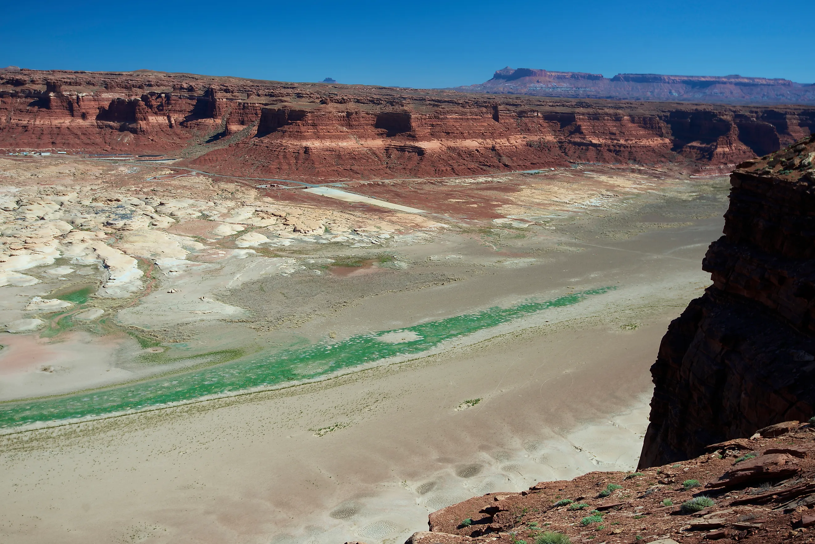
In 2011 the Colorado River had the best year it has managed this century. Inflow to Lake Powell reached 15.97 million acre-feet, 139 percent of normal, and the April to June figure alone hit 162 percent. By the following spring, inflow had collapsed to 33 percent of normal, the third lowest on record. Reclamation's own outlook that year stated that storage in both reservoirs would generally decline through 2013. One exceptional year did not survive contact with the next one, and the reasons it could not are structural.
The River Is Promised More Than It Carries

Every argument about wet years runs into one piece of arithmetic written in 1922 and never corrected.
The Compact divided 15 million acre-feet between the Upper and Lower Basins, and the 1944 treaty with Mexico added 1.5 million more. That commits the river to 16.5 million acre-feet annually, before a drop evaporates.
Natural flow at Lees Ferry averaged 14.6 million acre-feet across the full 1906 to 2025 record and 12.3 million since 2000. The gap between promise and delivery runs over four million acre-feet a year.
Even The Best Year Does Not Cover It

This is the calculation that settles the question, and it is not close.
At 16.5 million acre-feet of commitments, a year only adds to storage if flow exceeds that figure. The 2011 Powell inflow of 15.97 million acre-feet, the highest since 2000, still falls short of what the river owes.
Reclamation records water year inflows to Lake Powell ranging from 2.64 million acre-feet in 2002 to 15.97 in 2011, with an average of 8.29. The ceiling of recent experience sits below the floor of demand.
The Hole Is Thirty-Seven Million Acre-Feet Deep

Scale matters because the deficit is measured against something enormous.
Lake Powell holds about 24.3 million acre-feet at full pool and Lake Mead about 26, giving roughly 50 million between them. Both currently sit near a quarter full, which leaves a gap approaching 37 million acre-feet.
Filling that would require a surplus above demand sustained for decades. At an implausible 18 million acre-feet of annual flow, with every surplus drop stored and none used, it still takes about 25 consecutive years.
Reclamation Puts The Shortfall At 70 Million

The cumulative figure is the one that makes a single wet season look like what it is.
Reclamation's own analysis records a cumulative streamflow deficit of about 70 million acre-feet relative to twentieth-century conditions. That is more than the entire combined capacity of the two largest reservoirs in the country.
Tree ring reconstructions going back to 762 CE indicate the recent 24-year period is drier than any comparable stretch in the last 1,200 years. One flood year does not register against that.
Lake Mead Loses Water Even In Good Years

Below Glen Canyon there is a separate problem that wet weather upstream does nothing about.
Average annual inflows to Lake Mead run about 9 million acre-feet, made up of the 8.23 million released from Powell plus downstream tributaries. Average outflows to the Lower Basin states and Mexico run about 9.6 million, and Mead itself evaporates roughly 0.6 million more.
That produces a net negative balance of about 1.2 million acre-feet every single year, independent of hydrology. It is known as the structural deficit, and independent analyses put it between 1.2 and 1.5 million.
A Wet Year Upstream Just Moves Downstream
The 2011 case demonstrates precisely how a good year gets absorbed rather than banked.
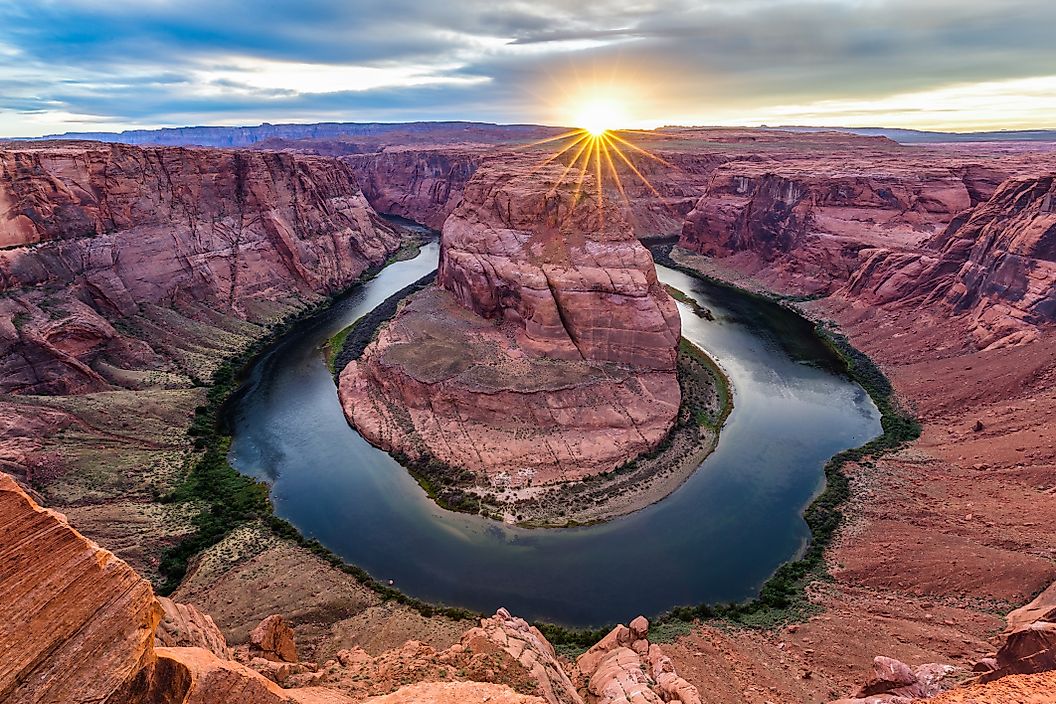
Powell filled substantially that year, and because Mead had been falling, equalization rules sent those gains downstream the following year. Western Resource Advocates summarized the pattern bluntly: until the structural deficit in the Lower Basin is addressed, above-average snowpack years and increased inflows to Lake Powell will just end up downstream in Lake Mead.
Water arriving at Mead then meets a system removing 1.2 million acre-feet more than it receives. The surplus is spent rather than stored.
Dry Soil Takes Its Cut First

Good snowpack no longer converts into good runoff at historical rates, and the reason sits in the ground.
After two decades of drought, soil moisture deficits across the basin absorb meltwater before it reaches a stream. Reclamation names rising evaporative losses and soil moisture deficits among the drivers of the shortfall.
Roughly 85 percent of the Upper Basin's flow is generated by about 15 percent of its area, the high cold headwaters. If the ground between those headwaters and the river is dry enough, a strong snowpack still produces a disappointing runoff forecast.
Warming Shrinks The River Permanently
Underneath the year-to-year variation is a trend that does not reverse with a good winter.
Research published in Science estimated that Colorado River flow drops about 9.3 percent for every degree Celsius of warming, even with steady precipitation. Hotter soils and earlier melt take water before it reaches the channel.
Reclamation's own unregulated inflow average for Powell fell from about 10.8 million acre-feet across 1981 to 2010 to 9.60 million for 1991 to 2020. The baseline itself is moving down.
Storage Is Only Four Years Of The River

The system was built to carry surplus across dry years, and the buffer is smaller than it sounds.
Total system storage runs to roughly 60 million acre-feet, about four years of the river's average natural flow, with Powell and Mead holding around 85 percent of it. Combined storage fell to a historic low near 24 percent of capacity, about 12.68 million acre-feet.
Four years of buffer is useful against a bad winter. It is not useful against a 24-year decline, which is what the basin has actually experienced.
The Management Assumes Shortage Now

One operational figure shows how far expectations have moved from the Compact.
Glen Canyon's historical annual release was 8.23 million acre-feet to meet Compact obligations. For water year 2026 the release was set at 6.0 million.
A system releasing a quarter less than its historical obligation is not waiting for a wet year to restore normal service. It has redefined normal.
The Short Answer

A flood year does not end a Colorado River shortage because the river is committed to 16.5 million acre-feet a year and has averaged 12.3 since 2000, because the two big reservoirs are about 37 million acre-feet below full, and because Reclamation's cumulative shortfall against twentieth-century conditions stands near 70 million acre-feet.
Even 2011, the best year of the century at 15.97 million acre-feet into Powell, came in below what the river owes, and those gains were released downstream the following year while inflows fell to a third of normal. The deficit is not weather. It is an accounting problem with a drought on top of it, and only one of those two things responds to rain.