What Happens To Memphis If The Mississippi Shifts West
The Mississippi River has defined Memphis, Tennessee, since the city's founding in 1819, shaping its economy, transportation networks, and waterfront. But the river has never followed a completely fixed path. Over centuries, its currents have eroded banks, deposited sediment, and carved new channels across the floodplain.
If the Mississippi shifted west, away from downtown Memphis and toward Arkansas, the city could face changes to its riverfront, commercial shipping operations, and surrounding floodplain. Memphis itself would remain on the high ground of the Chickasaw Bluffs, but a major change in the river's course could leave some waterfront facilities separated from the main navigation channel.
Why The Mississippi River Changes Course

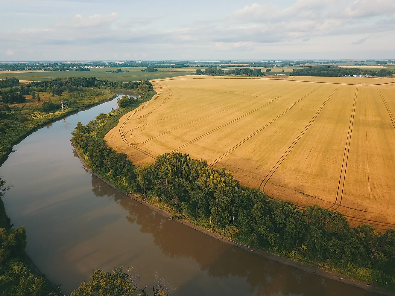
The Mississippi River has a long history of reshaping its banks, particularly along its lower reaches. As water flows around a bend, faster currents erode the outer bank while slower water deposits sediment along the inner bank. Over time, this process can move a river channel across its floodplain.
Sometimes the river takes a more dramatic shortcut. During periods of high water, a current may cut across the narrow neck of a bend, creating a new channel and abandoning the longer route. The former channel can eventually become an oxbow lake or fill with sediment.
These processes helped shape the landscape surrounding Memphis. The broad floodplain west of the city, extending into eastern Arkansas, contains evidence of former river channels and sediment deposits left by earlier changes.
Today, the U.S. Army Corps of Engineers works to stabilize the Lower Mississippi's banks and maintain its navigation channel. Concrete mattresses and stone revetments protect vulnerable shorelines from erosion. These structures reduce the likelihood of major changes along protected sections, although sediment movement and erosion remain ongoing concerns.
Memphis Sits Above Much Of The Mississippi Floodplain

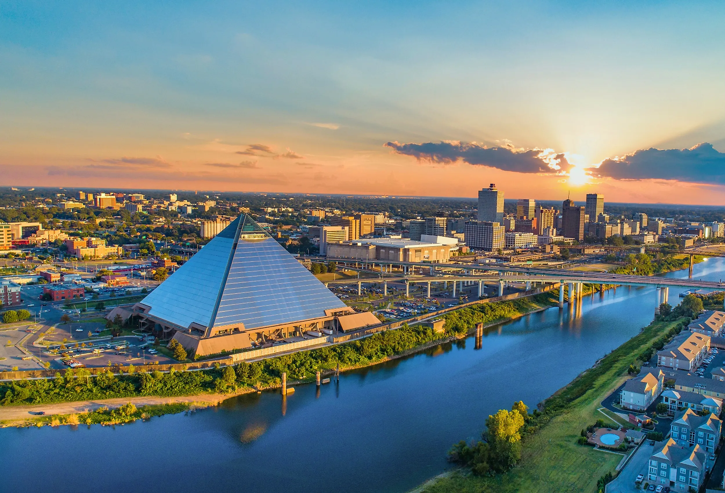
Memphis has a geographical advantage that distinguishes it from the lowlands directly across the river. Much of the city's historic downtown stands on the Chickasaw Bluffs, elevated terrain overlooking the Mississippi's eastern bank.
The bluffs helped make Memphis an important river settlement. Boats could reach the riverfront while businesses and homes developed on higher ground above the floodplain. Across the Mississippi, West Memphis, Arkansas, occupies a much flatter landscape.
The most noticeable changes could occur along the existing shoreline. Depending on the river's new route, sediment might accumulate between the bluffs and the main channel, or sections of the former riverbed could retain water.
The distance and direction of the shift would matter. A modest change in the navigation channel would have different consequences from a major cutoff that redirected the river around an entire bend. The bluffs would also not protect every part of Memphis, particularly lower-lying areas near the waterfront and tributaries.
Memphis Could See Its Waterfront Transformed

Memphis's riverfront is closely connected to the city's identity. Tom Lee Park stretches along the Mississippi south of downtown, while Beale Street Landing provides access to the water near the foot of Beale Street. The Hernando de Soto Bridge carries Interstate 40 across the river north of downtown.
A substantial westward shift could change the setting around these landmarks. If the main current moved away from the Tennessee shoreline, portions of the present riverfront might eventually border a secondary channel, a shallower body of water, or newly exposed land.
The Port Of Memphis Could Face Shipping Disruptions

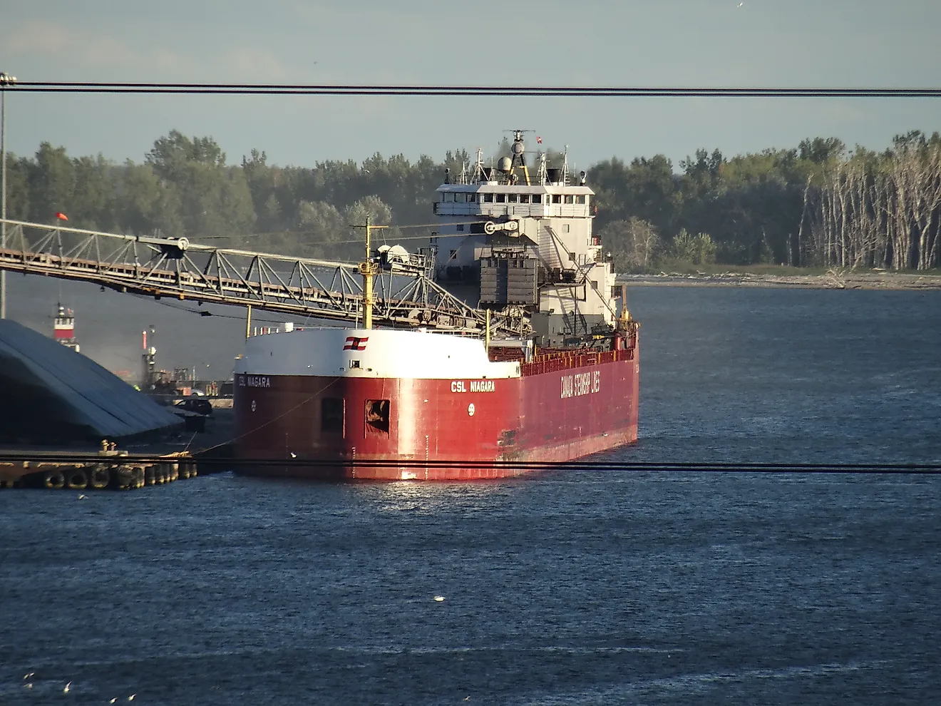
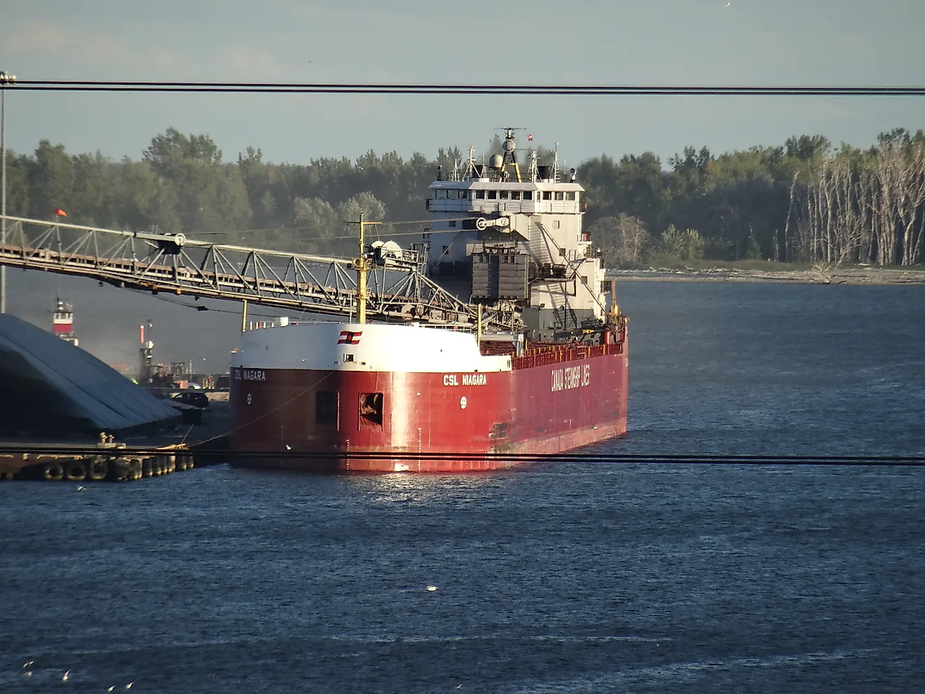
The consequences of a westward shift could extend well beyond downtown's recreational waterfront. Memphis is a major inland shipping center, with port facilities serving industries that depend on the Mississippi for transporting bulk materials.
According to the International Port of Memphis, its jurisdiction covers approximately 15 river miles, from river mile 725 to mile 740, and includes facilities on the Tennessee and Arkansas sides of the river. The port reports 68 waterfront facilities, including 37 terminals handling products such as petroleum, cement, and grain.
McKellar Lake is particularly important because it functions as an industrial harbor connected to the Mississippi. If a channel shift altered that connection, operators might need additional dredging or other improvements to maintain barge traffic.
A major channel change could require substantial additional engineering work. Memphis would retain its highway, railroad, and air cargo connections, but industries dependent on water transportation could face higher operating costs if existing terminals became difficult to reach.
Flooding Patterns Could Change In Eastern Arkansas
A westward movement of the Mississippi would have consequences for land on the Arkansas side of the river. The terrain surrounding West Memphis is part of the Lower Mississippi floodplain, where levees and drainage infrastructure help manage high water. If the main channel migrated farther west, changes in erosion and water movement could affect nearby agricultural land, roads, and developed areas.
However, a westward shift would not automatically increase flooding throughout eastern Arkansas. Some locations could experience greater exposure to currents or bank erosion, while others might become farther removed from the main channel. The outcome would depend on the river's new alignment, the condition of levees, and how floodwater moved through the surrounding landscape.
Memphis would also need to consider its lower-lying areas. Although the Chickasaw Bluffs protect much of the historic downtown from direct river flooding, changes in Mississippi water levels can affect drainage and tributary conditions.
Could A Westward Shift Change The Arkansas-Tennessee Border?

The Mississippi serves as the boundary between Arkansas and Tennessee near Memphis, but the state line does not always follow the river when its course changes. When erosion and sediment deposition gradually alter a river channel, the legal boundary generally follows those changes. When the river suddenly abandons its existing channel and establishes a new one, a process called avulsion, the boundary generally remains in the former channel.
This issue has already reached the U.S. Supreme Court. On March 7, 1876, the Mississippi abruptly changed course at a bend known as Devil's Elbow, creating the Centennial Cut-Off. The new channel separated land from the Tennessee mainland, leaving the old riverbed to gradually fill with sediment.
The change produced a dispute between Arkansas and Tennessee over the location of their boundary. In Arkansas v. Tennessee, decided March 4, 1918, the Supreme Court ruled that the sudden change had not moved the state line. The boundary remained in the former main navigation channel.
The Court issued a further decree on June 10, 1918, establishing procedures for identifying the boundary along the abandoned channel. If the Mississippi underwent a similar sudden change near Memphis, the river could end up flowing along a different route without automatically transferring territory from one state to the other.
How Likely Is The Mississippi To Shift West?

The Mississippi continues to erode its banks and transport sediment, but a dramatic westward shift near downtown Memphis is not an established prediction. The river is extensively managed to maintain commercial navigation and reduce erosion along vulnerable banks. The U.S. Army Corps of Engineers uses revetments, channel maintenance, and other engineering measures to preserve important sections of its course.
Those efforts require continued investment. In July 2025, the Corps' Memphis District reported completing a $1.5 million channel-maintenance project involving 32,400 tons of stone used to repair two existing revetment locations. The repairs were intended to improve bank stability and maintain safe navigation. The work took place near Wickliffe, Kentucky, and Walnut Bend, Arkansas, rather than along the immediate Memphis waterfront. Nevertheless, it illustrates the scale of engineering required to manage the Mississippi.
A gradual westward migration near Memphis would likely be monitored and addressed through continued channel maintenance. A sudden cutoff would present a more complicated challenge, particularly if it affected established shipping routes, bridges, or flood-control infrastructure.
What Would Memphis Look Like Without The River At Its Doorstep?
If the Mississippi moved substantially west, Memphis would retain its historic downtown, established neighborhoods, and major transportation connections. The most dramatic changes would likely be concentrated along the riverfront and at facilities dependent on direct access to navigable water.
The scale of the change would determine how much of Memphis's waterfront remained recognizable. Tom Lee Park could still overlook water even if the main current moved farther away, while industrial harbors such as McKellar Lake would depend on maintaining navigable connections.
For a city that developed above the Mississippi on the Chickasaw Bluffs, the greatest challenge would not necessarily be surviving a flood. It would be adapting the infrastructure below those bluffs to a river that no longer followed the course on which Memphis built much of its history and economy.