The Largest Lake Entirely In The Lower 48
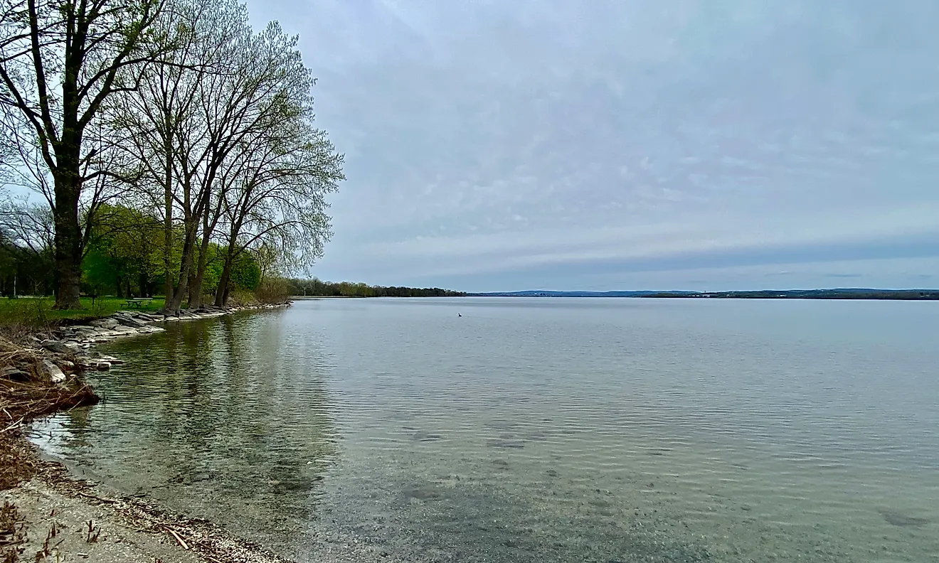
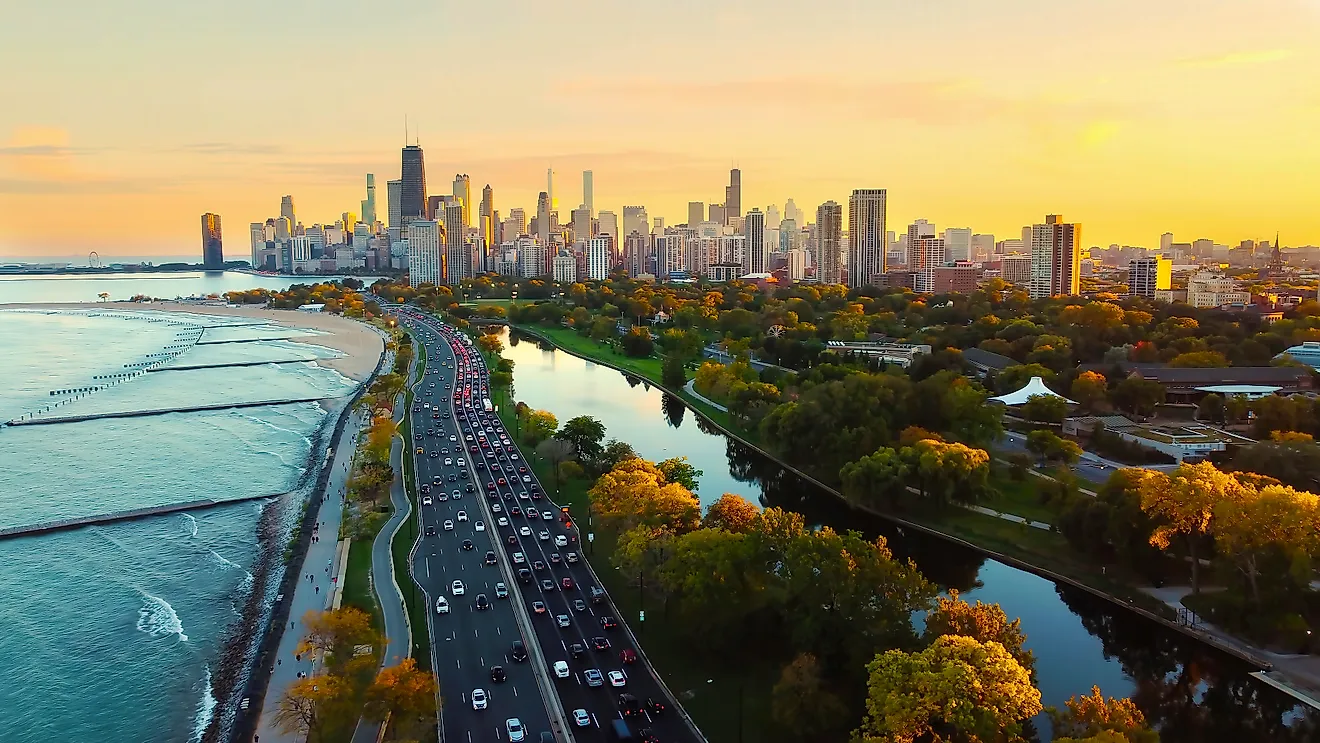
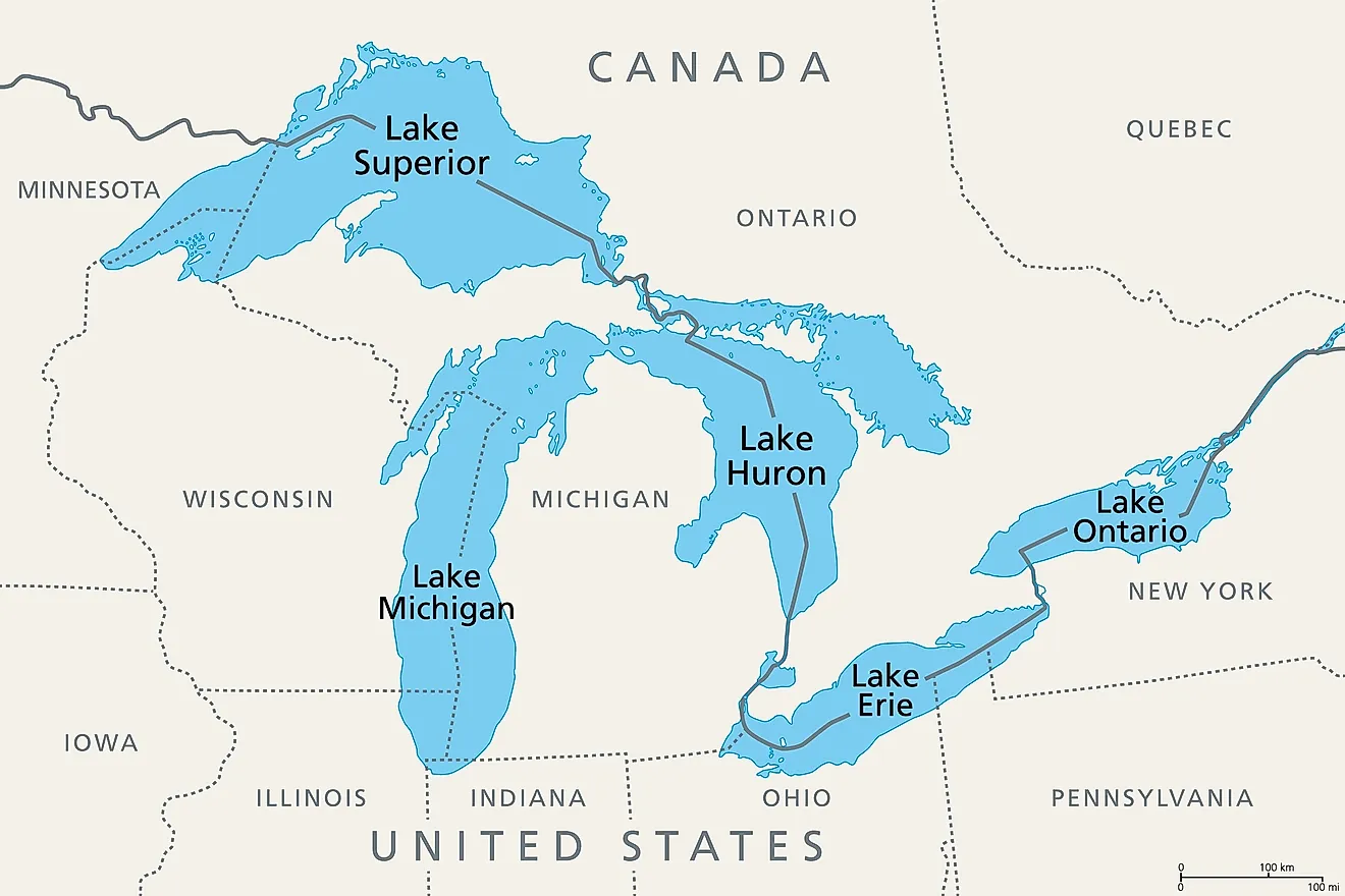
It is Lake Michigan, at somewhere between 22,300 and 22,404 square miles depending on which agency did the measuring, and the margin over everything else is so wide that the question is barely a contest. The next largest lake wholly inside the contiguous United States is the Great Salt Lake at roughly 1,700 square miles, which means Lake Michigan is something like thirteen times bigger than its nearest rival. Superior is larger but shared with Canada, Huron is larger but shared with Canada, and Iliamna in Alaska is disqualified by geography rather than size. What makes this more interesting than a ranking is that hydrologists do not entirely agree that Lake Michigan is a separate lake at all.
Here is why it wins, what comes after it, and the argument that it should not count as a single lake in the first place.
The Numbers

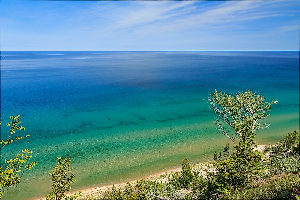
Lake Michigan runs about 307 miles long and 118 miles wide, with more than 1,600 miles of shoreline touching Illinois, Indiana, Michigan and Wisconsin. It averages 279 feet deep and reaches 925 feet at its deepest point.
By volume it holds about 1,180 cubic miles of water, which makes it the second largest Great Lake by volume behind Superior even though it is third by surface area. Its drainage basin covers roughly twice the area of the lake itself.
The surface area figure is worth noting for anyone fact-checking. The EPA and the Great Lakes Commission both give 22,300 square miles, while several reference compilations use 22,404. The difference is a rounding and methodology question rather than a dispute.
Why Everything Bigger Is Disqualified
Three lakes in the United States are larger than Lake Michigan and none of them satisfies the question as asked. Lake Superior covers 31,700 square miles and Lake Huron covers about 23,000, but both straddle the Canadian border, so neither sits entirely within the country, let alone entirely within the Lower 48. Lake of the Woods has the same problem, spanning Minnesota, Ontario and Manitoba.
Iliamna Lake in Alaska, at 1,012 square miles, is entirely within the United States and is often cited as the largest natural lake wholly inside the country outside the Great Lakes. It is also in Alaska, which puts it outside this particular question.
The Argument That It Is Not A Lake

This is the genuinely interesting part of the question. Lake Michigan and Lake Huron are joined at the Straits of Mackinac, a channel several miles wide and over 100 feet deep, and the two sit at exactly the same elevation.

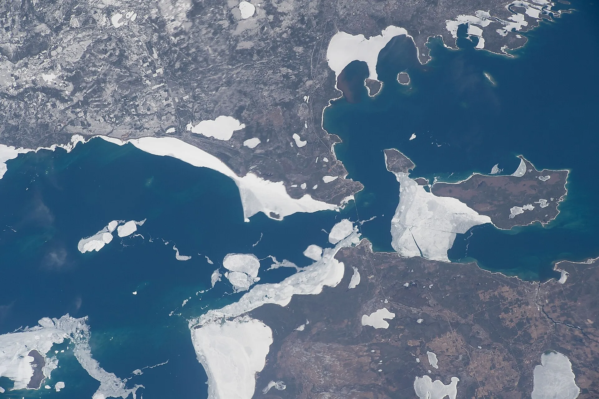
Straits of Mackinac (center) with Lake Michigan (left) and Lake Huron (right). Image credit: International Space Station
Hydrologically that makes them a single body of water. Water moves freely between them, they rise and fall together, and the Great Lakes Commission describes Lake Michigan as hydrologically inseparable from Lake Huron. Many hydrologists treat them as one lake, Michigan-Huron, and only convention and history keep them listed separately.
Count them as one and the combined surface area is around 45,300 square miles, which would make Michigan-Huron the largest freshwater lake in the world by surface area, ahead of Superior. It would also stop being entirely in the United States, since Huron is shared with Canada.
So Lake Michigan holds this particular title partly because of a naming convention established long before anyone was measuring water levels precisely enough to notice the problem.
The Great Salt Lake Is Second, Sometimes

The runner-up is the most unstable entry on any list of American lakes. Published surface areas for the Great Salt Lake range from about 950 square miles to over 2,100, with 1,700 being the figure most commonly quoted, because the lake is a terminal basin with no outlet and its footprint expands and contracts with the water level.
It is also shallow enough for that variation to be dramatic. Average depth is around 16 feet, so a modest change in level moves the shoreline an enormous distance across flat lakebed, which is why recent shrinkage has exposed such large areas of dust-producing playa in Utah.
It is the largest saltwater lake in the Western Hemisphere and the largest natural lake west of the Mississippi, and it is still roughly one thirteenth the size of Lake Michigan at its most generous measurement.
Then Lake Okeechobee

Lake Okeechobee covers about 730 square miles, which makes it the largest natural freshwater lake lying entirely within a single state in the contiguous United States, and the second largest body of fresh water in the Lower 48 after Lake Michigan.
Its name comes from Seminole words meaning big water, which is accurate about the area and misleading about everything else. The lake averages under nine feet deep and bottoms out around twelve, sitting in a shallow depression on porous Florida limestone.
Area and depth rarely track together, and Okeechobee is the clearest American example: enormous on a map and shallow enough to wade a considerable distance into.
What Happens If You Count Reservoirs
Every figure above refers to natural lakes, and including man-made water changes the lower half of the list without touching the top of it. on the Missouri, impounded behind Oahe Dam, covers something between 560 and 685 square miles depending on pool level and stretches roughly 231 miles from near Pierre, South Dakota up toward Bismarck. Because it is a drowned river valley rather than a basin, its shoreline runs about 2,250 miles, which is longer than the entire Pacific coastline of the Lower 48.
Nothing built by the Army Corps or Reclamation comes anywhere near Lake Michigan on surface area. Reservoirs compete on volume and on shoreline length, not on footprint.
Why The Gap Is So Large

Great Lakes
The reason the drop from first place to second is a factor of thirteen comes down entirely to how the basins were made. The Great Lakes sit in troughs gouged out by continental ice sheets, which had the mass to carve enormous deep basins into bedrock over repeated glaciations. Nothing else in the contiguous United States was produced by that process at that scale.
The other large lakes here were made differently and smaller. The Great Salt Lake is the shrunken remnant of Pleistocene Lake Bonneville, Okeechobee sits in a shallow limestone depression, and the reservoirs are river valleys with concrete at one end. Only ice at continental scale produces something the size of Lake Michigan.
The Short Version

The largest lake entirely in the Lower 48 is Lake Michigan at roughly 22,300 square miles. It holds that title because Superior and Huron are shared with Canada and Iliamna is in Alaska.
Behind it, the Great Salt Lake takes second at something around 1,700 square miles on a figure that changes every year, and Lake Okeechobee is the largest natural freshwater lake inside any single Lower 48 state at 730.
And the asterisk is worth keeping. Lake Michigan is only a separate lake by convention, because the water in it is the same water, at the same level, as Lake Huron, and the two are connected by a channel wide enough to sail a freighter through.