Why Rivers Meander Instead Of Running Straight
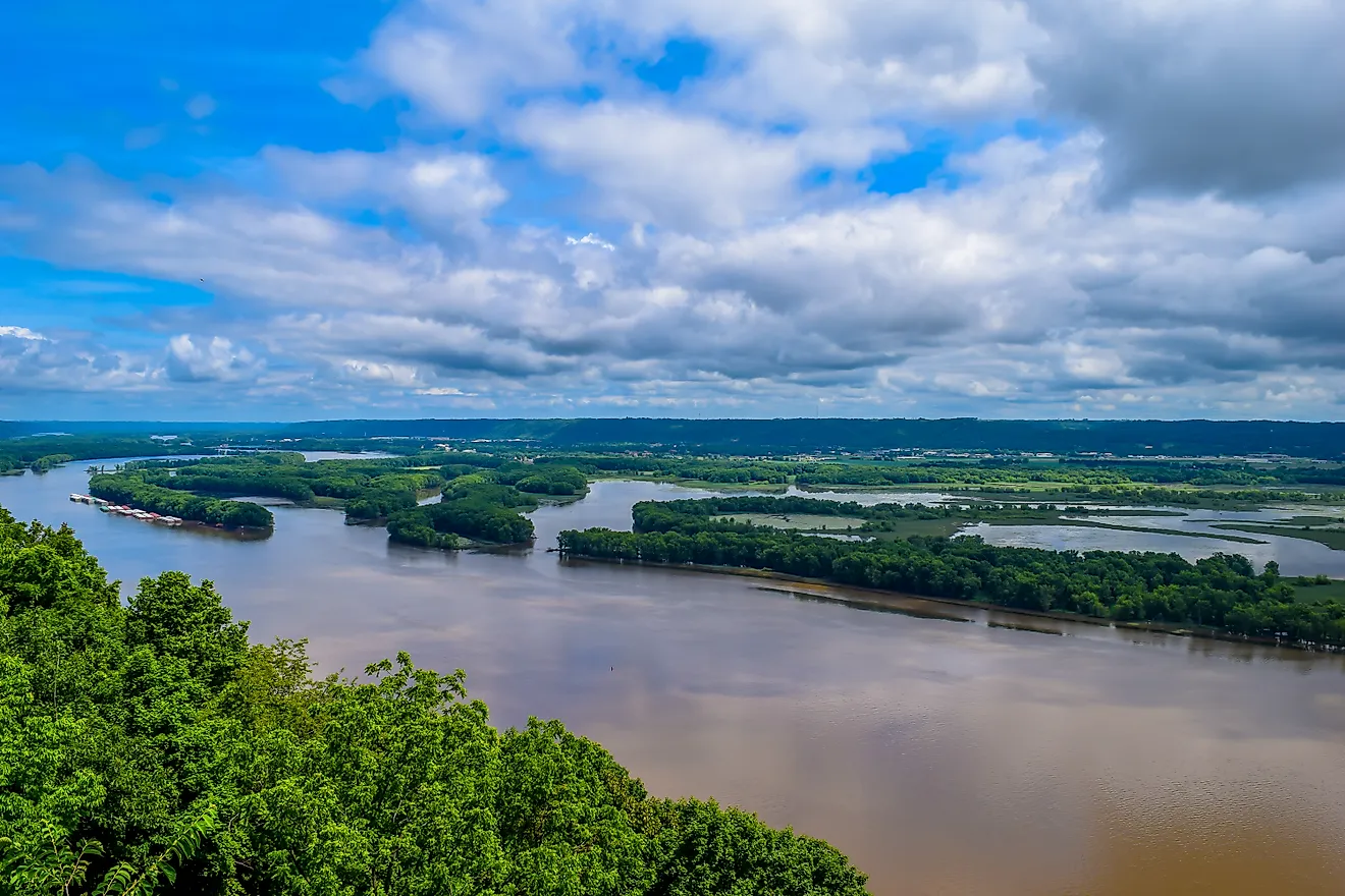
The shortest path downhill is a straight line, yet a straight river barely exists in nature. On soft ground, almost no river stays straight for long. The bends deepen into loops, and a loop can grow wide enough to cut a town off from its own state. Carter Lake belongs to Iowa but sits on the Nebraska side of the Missouri, and the Kentucky Bend is a corner of Kentucky reachable by road only through Tennessee. The whole pattern begins inside one curve, in the difference between how fast the water moves at the surface and how fast it moves along the bed.
Straight Channels Already Carry the Start of a Bend

Shallow riffles and deeper pools alternate along the bed of even a straight stretch of river, with the riffles spaced roughly five to seven channel widths apart. Once the river begins to meander, those riffles line up with the shallow crossings where the main current passes between one bend and the next, two for every full meander. U.S. Geological Survey hydrologists Luna Leopold and Walter Langbein found that a natural river almost never runs straight for more than ten times its width, so a creek 20 feet across gets at most about 200 feet of straight water before a curve appears.
Water Corkscrews Through Every Bend

When a channel curves, the water inside it moves at two different speeds. Fast water near the surface takes the strongest share of the turn's outward push, the same push that presses car passengers toward the door on a sharp curve, so it piles up against the outer bank. Down near the bed, friction slows the current, and that slower water gets less of the outward push and slides inward along the bottom toward the inside of the bend. The two currents combine into a slow spiral that runs through the length of the curve.
Deep, fast water along the outer bank undercuts its base until large blocks of soil collapse into the river, leaving a steep face known as a cut bank. On the inside of the curve, the inward current near the bed sweeps sand and gravel up a gentle slope and leaves it there as a point bar. With one bank retreating and the opposite bank growing, the whole bend shifts outward and tightens.
Albert Einstein used a cup of tea to explain this spiral in a short 1926 paper on how rivers form meanders. Stirring the cup sets up the same circulation, and the inward current along the bottom sweeps loose tea leaves into a small pile at the center.
Big Rivers Swing Through Big Loops

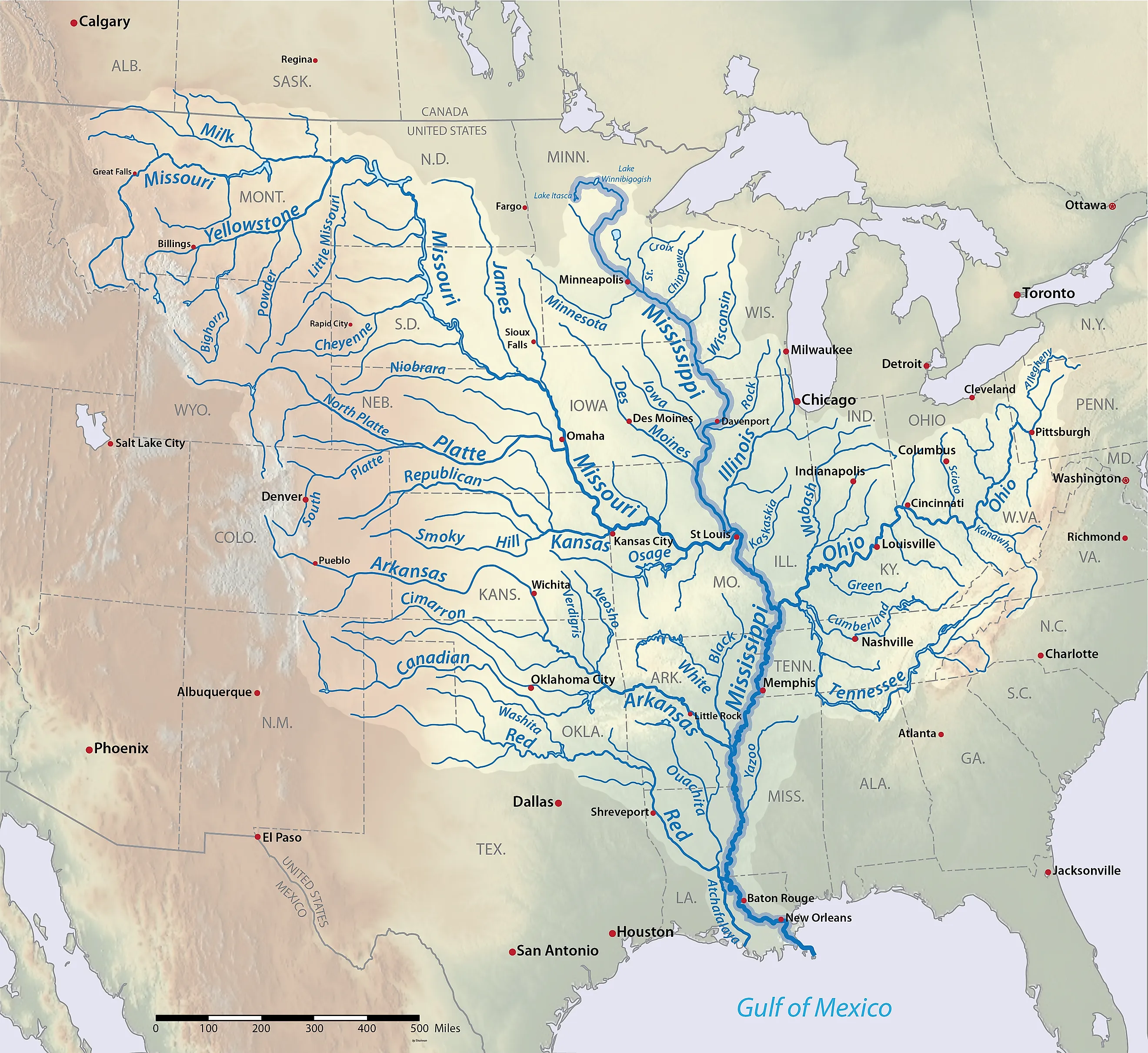
Because the size of a meander scales with the channel that carves it, a small creek bends every few dozen yards and the lower Mississippi swings through loops measured in miles. The full wavelength of a meander, the distance between one bend and the next bend curving the same way, usually runs about 7 to 12 times the channel width. The curves also hold a consistent shape that spreads the change in direction as evenly as possible along the channel, which is the shape that takes the least total work for water to turn. On a map with nothing to show scale, a creek's bends can be hard to tell apart from a major river's. The same winding pattern turns up in moving water with no soil banks at all, including the Gulf Stream off the East Coast and meltwater channels on the surface of glaciers.
Loose, Sandy Banks Split a River Into Braids

In central Nebraska, migrating whooping cranes roost on the Platte River's shallow, open sandbars, and piping plovers nest on the same bare bars. The Platte is a model braided river, wide and shallow, with many channels that split and rejoin around constantly changing bars. Rivers braid where steep headwaters deliver high flows loaded with sand and gravel and the banks are too loose to hold a single channel in place. On the Platte, seasonal floods and ice jams also scour the bars clear of the plants that would stabilize them.
Plant roots bind riverbank soil, and bank strength matters more than any other factor in whether a river meanders. Meandering rivers became common in the rock record during the latest Silurian and Devonian periods, roughly 420 to 360 million years ago, as rooted plants spread across land. Between 1949 and 1969, the Sacramento River in California migrated into farmland more than twice as fast as it moved into riverside forest.
Bank Swallows Nest Where the Bends Keep Moving

Bank swallows dig their burrows into tall, vertical faces of eroding soil, and the conservation group River Partners reports that about 70 percent of California's remaining population nests along the 100-mile stretch of the Sacramento River between Red Bluff and Colusa. Bends there shifted sideways by an average of about 9 feet a year between 1896 and 1946, and by nearly 14 feet a year over the following five decades, so fresh vertical soil keeps opening up on the outside of each curve.
Rock riprap stacked against a bank to stop erosion covers the vertical faces these birds dig into, leaving fewer nest sites for a species listed as threatened under the California Endangered Species Act. The Sacramento River's bank swallow population grows faster in the year after high flows carve new cut banks. Where the river eroded through riprap on its own, swallows moved into 16 of the 18 newly exposed banks.
Some Meanders Are Carved 1,000 Feet Deep

The San Juan River in Utah and the Colorado River in Arizona once wound through ordinary meanders across relatively flat land. When the Colorado Plateau began to rise, the rivers ran faster and cut downward along the bends already in place, carving what geologists call entrenched meanders.
At Goosenecks State Park near Mexican Hat, Utah, the San Juan loops through canyon bends 1,000 feet below the overlook, flowing more than six miles while advancing only a mile and a half west. Horseshoe Bend near Page, Arizona, took shape on the Colorado River after uplift around 5 million years ago, and the river there swings through a 270-degree curve at the bottom of a canyon about as deep. The overlook sits at the end of a 1.5-mile round-trip walk on a hardened path, and much of the rim is open to the full drop.
A Loop Pinched Too Tight Becomes a Lake

Around 1722, seasonal floods on the Mississippi cut a shorter channel across the neck of a bend in Louisiana, and the old main channel became False River, a 10.5-mile lake near New Roads with a reputation for trophy bass.
As a bend grows, its two ends close in on each other across a narrowing neck of land until floodwater breaks through along the shorter route. The bypassed loop becomes an oxbow lake, named for the U-shaped collar of an ox yoke. Lake Chicot, the crescent visible from the air in southeast Arkansas, covers about 5,000 acres, making it the largest natural lake in Arkansas and the largest oxbow lake in the United States. Lake Village sits on its western shore, and anglers fish the lake for crappie and channel catfish.
More than half of the cottonwood forest left along the middle Sacramento River in California grew up in channels the river had cut off, with many stands taking root soon after the main flow moved away.
Cutoffs and Loops Can Separate Land From Its Own State

Carter Lake, the only city in Iowa west of the Missouri River, sits on the Nebraska side of the channel, surrounded on three sides by Omaha. A flood in March 1877 sent the Missouri through the neck of a bend near Omaha and left that stretch of Iowa land across the new channel. Under an 1892 U.S. Supreme Court ruling, a state line moves with a river that shifts gradually but stays in place when a flood cuts a new channel all at once, as it did here.
Inside a tight Mississippi loop, the Kentucky Bend covers about 17.5 square miles of Kentucky land surrounded by Tennessee and Missouri. Surveyors marking the Kentucky-Tennessee border only estimated where their line would meet the river, and later surveys showed the line crossing the river's north-south bends, which put the peninsula on the Kentucky side. The 2020 census counted nine residents. Their only highway in arrives through Tennessee on State Route 22, and New Madrid, Missouri, sits directly across the river with no road or ferry link.
Engineers Cut Off the Bends, and Some Came Back
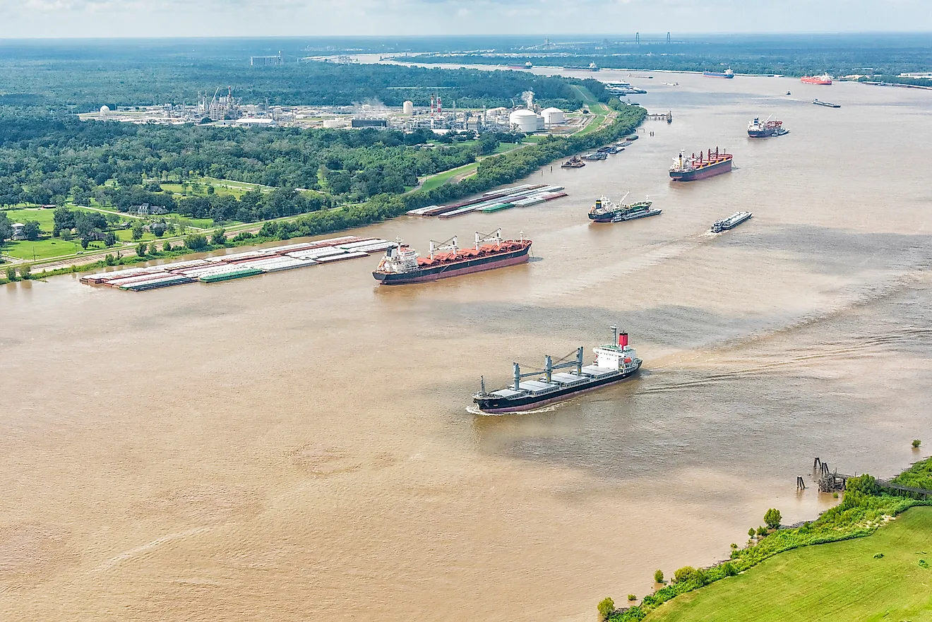
After the Great Flood of 1927, the U.S. Army Corps of Engineers dug 14 artificial cutoffs across bends of the lower Mississippi, shortening the river by 152 miles so floodwater could pass more quickly. By historian John Barry's account, the cutoffs lowered flood heights at Greenville, Mississippi, by 15 feet. As new bends formed on the shortened channel, about a third of the lost length came back, by his estimate.
In Florida, the Corps replaced 103 miles of winding Kissimmee River between Lake Kissimmee and Lake Okeechobee with C-38, a drainage canal 56 miles long, dug between 1962 and 1971. With water draining straight down the canal, about 40,000 acres of floodplain dried out. The quality of the waterfowl habitat fell by about 90 percent, and the number of wading birds such as herons and wood storks dropped by two-thirds.
A restoration finished in July 2021 brought back 40 miles of river and almost 25,000 acres of wetlands. Flowing water raised dissolved oxygen levels, and birds flocked back to the restored marshes faster than Audubon had hoped.
Reading a River From Its Banks

Once the corkscrew current is familiar, a winding river becomes easy to read from its banks. A steep, freshly broken face on the outside of a curve marks where fast surface water is cutting into the soil, and on the Sacramento, those raw faces are where bank swallows dig their burrows. The low sweep of sand or gravel on the opposite side is a point bar, built by slower water sliding along the bottom toward the inside of the bend. Between two bends, the water runs shallow and rippled over a riffle where the main current crosses the channel. Farther back from the river, a crescent of still water marks a bend that a flood cut through, as at Lake Chicot and False River. On the Kissimmee, the restored curves once again carry water through marshes that a straight canal had drained.